Parking
Use the National Trust car park at NY172172, near Buttermere, then cross the quiet road to the stile. The village has toilets, a cafe and a pub. Parking is limited and fills early on popular summer weekends.
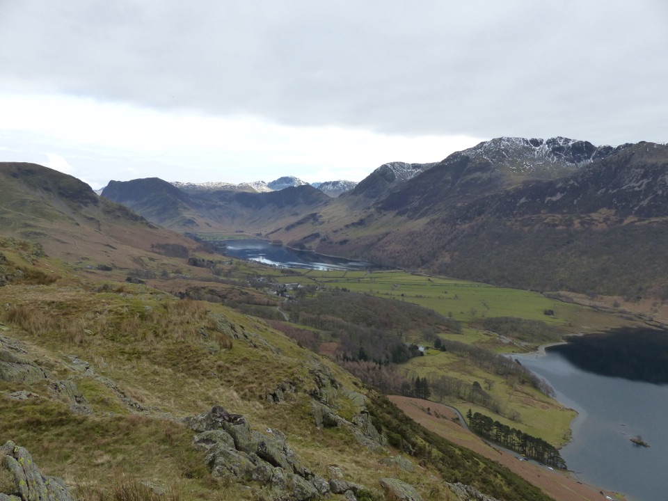
Lake District National Park, EN
Short steep climb to a ridge above Buttermere and Crummock Water
Overview
A circular loop of 3 miles (4.8 km) round trip from the National Trust car park near Buttermere, allow around 2 hours including normal stops. The walk climbs about 190 metres from the valley floor to the ridge of Rannerdale Knotts and returns along the shore of Crummock Water.
Map & elevation
Plan your hike

The highest, rockiest slopes around here are a summer buffet for grizzly bears.
Lake District Tour Guide
Parkwolf is a GPS audio tour guide for Lake District National Park. As you drive, it chimes in with what’s ahead: hidden gems, upcoming stops, history, geology, and wildlife, right through your car’s speakers.
Recorded for this trailhead
Buttermere: Lakeshore and Village“You're nearing Buttermere village, where a low-level lakeshore walk puts you right beneath the high fells.”
Plays as you drive up to this trailhead in the Parkwolf Lake District Tour Guide.
More stories near here in the app
“Fantastic app with many points of information… It’s great to just turn on while you’re driving and it gives you an audio tour of the national Park. We love it!!!!”


Trail guide
From the car park you cross the road to a stile and a narrow grassy track that steepens as it climbs the fellside. A left-hand track leads onto the ridge of Rannerdale Knotts, where the path undulates along the crest to the summit. The descent is a narrow winding grassy line with a short, very steep stone-pitched section dropping towards Crummock Water. From there you cross the road, follow the lakeshore and the woodland at Nether How, then take the footbridge and return through the valley to the start.
Rated moderate overall, though fairly strenuous in any weather, and around 5 out of 10 in practice. The climb is short but sustained, the ridge is open and exposed to wind, and the ground is rough and grassy in places with stiles and gates along the way. No scrambling is needed. The stone-pitched descent is the crux: it is steep and can be slippery when wet, so take it slowly and consider using it as a place to pause rather than rush. Sturdy boots and weatherproof clothing are the right call, since fell weather changes quickly.
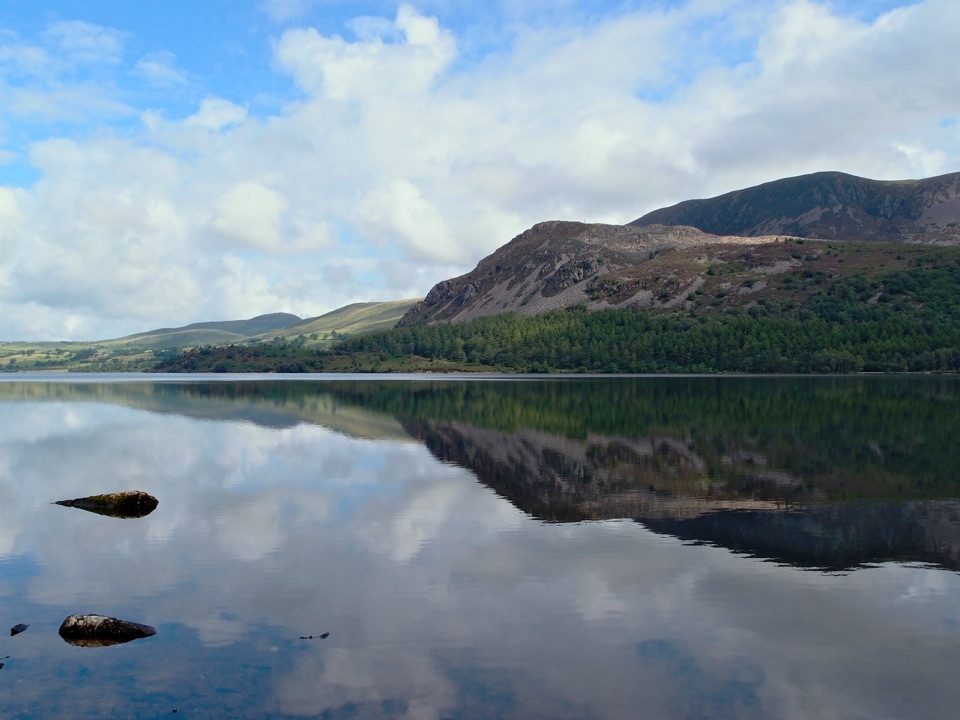
The ridge is the payoff, with Buttermere on one side, Crummock Water on the other and high fells filling the horizon. The lakeshore stretch keeps you close to open water and the woodland at Nether How gives a quieter, more enclosed finish. Crummock Water is cold and deep, and the route needs no water access at any point.
Clear conditions make the biggest difference to the ridge panorama. Early morning or late afternoon light helps with reflections on the lakes and brings out relief in the surrounding fells. The summit ridge and the upper part of the descent give the widest outlooks.
Herdwick sheep graze these fells, so dogs are welcome on leads only and this is a standing rule rather than a seasonal one. Sheep are moved off during lambing periods, but keep dogs leashed throughout regardless.
Start at the National Trust car park at grid reference NY172172, near Buttermere, a few steps from the route start across the road. The village has toilets, a cafe and a pub. Parking is popular and tends to fill early on summer weekends, so an early arrival helps. If you would rather avoid the climb, the Buttermere Circular is a longer, gentler low-level lakeshore circuit with far less ascent. Choose this route when you want a short summit and ridge experience in a couple of hours.
Wildlife
 81 sightingsRed DeerMost seen around 7 PMSighting map
 13 sightingsEurasian OtterMost seen around 6 AMSighting map
 76 sightingsOspreyMost seen around 8 AMSighting map
 51 sightingsEuropean BadgerMost seen around 8 PMSighting map
 233 sightingsMute SwanMost seen around 6 PMSighting map
 176 sightingsGrey HeronMost seen around 7 AMSighting map
Sighting maps show where each species has been reported across Lake District. Wildlife moves, so no sighting is guaranteed.
Keep exploring
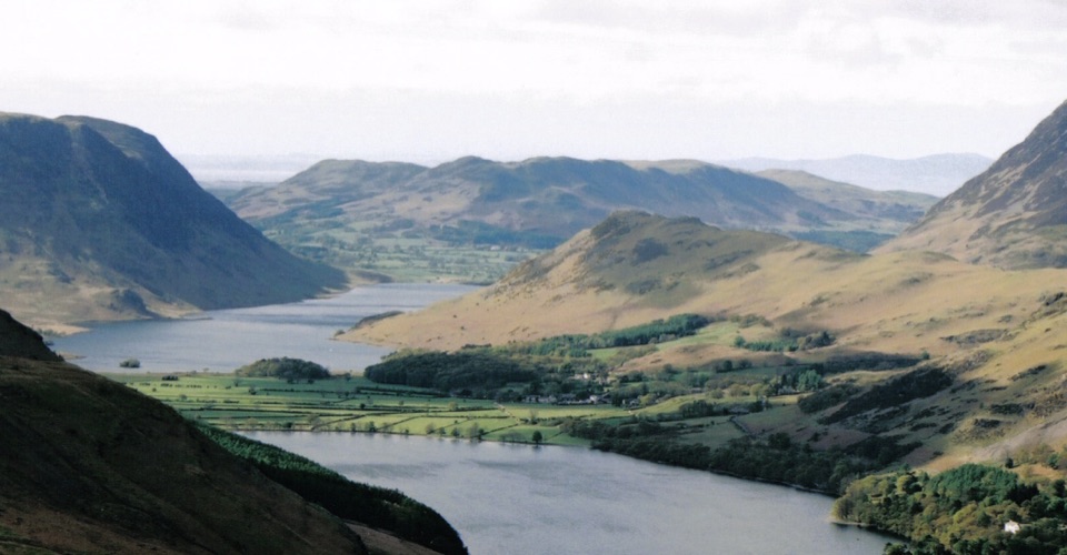 ModerateRannerdale Knotts5.1 km · 2.5 hr · 0.3 km awayA short steep climb to a rocky ridge above Crummock Water
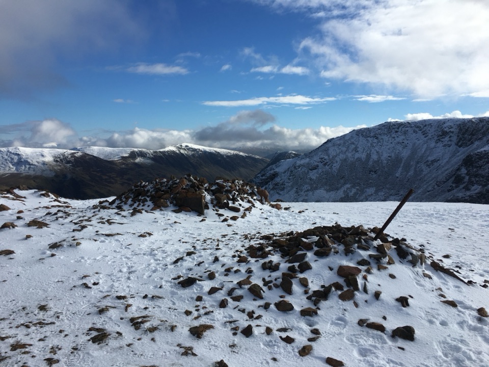 ChallengingThe Buttermere Edge13.5 km · 5.5 hr · 0.3 km awayStone-pitched climb to a rocky ridge above Ennerdale and Crummock Water
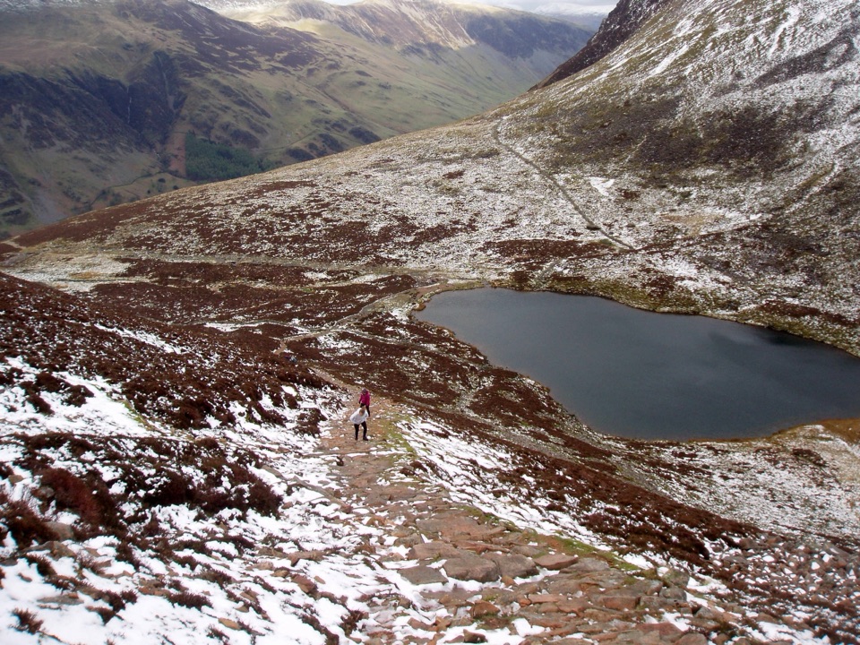 ChallengingBleaberry Tarn, Red Pike and Dodd7.2 km · 4 hr · 0.3 km awayCorrie tarn, loose red scree, two summits above Buttermere
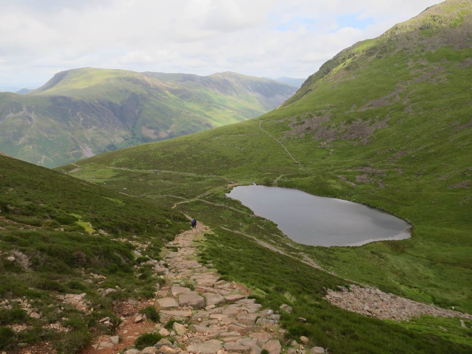 ModerateBleaberry Tarn above Buttermere5 km · 2 hr · 0.3 km awayA steep stone staircase to a quiet tarn beneath mountain crags
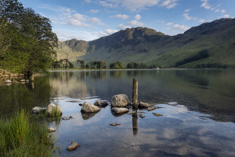 ModerateButtermere Lakeshore3.7 km · 1.5 hr · 0.3 km awayLakeshore views, woodland, rough ground, and a practical bus return
 EasyButtermere Circular7.6 km · 3 hr · 0.3 km awayLevel shore loop under high fells, through woodland and a rock tunnel
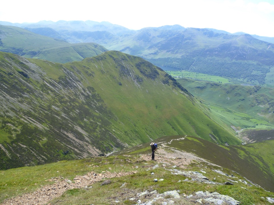 ChallengingGrasmoor via Lad Howes Ridge12.2 km · 5 hr · 1.5 km awayA steep ridge ascent with huge Crummock Water views
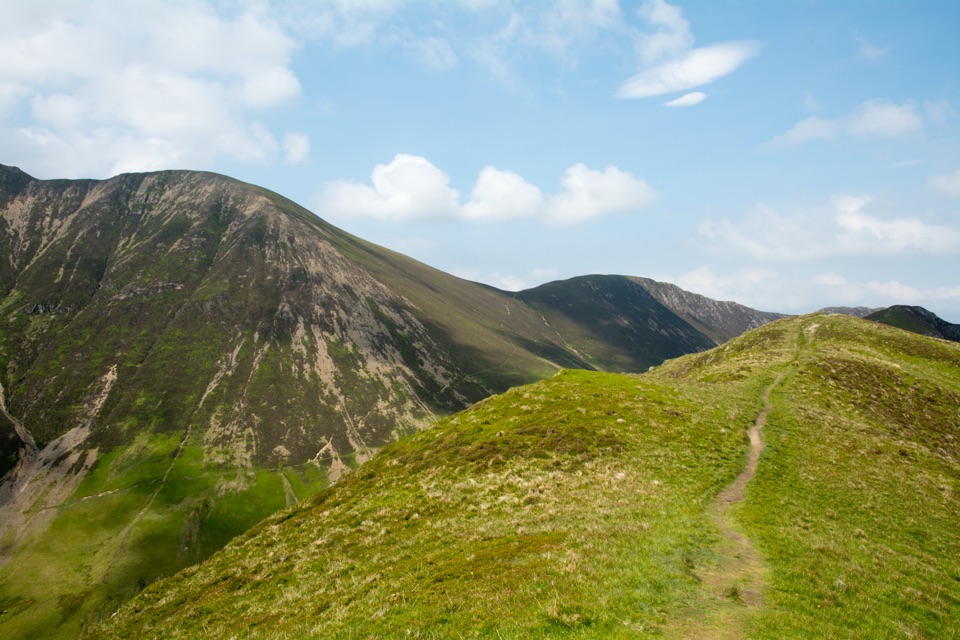 ModerateKnott Rigg and Ard Crags5.6 km · 2.5 hr · 2 km awayShort grassy ridge above Newlands with wide Buttermere and valley views
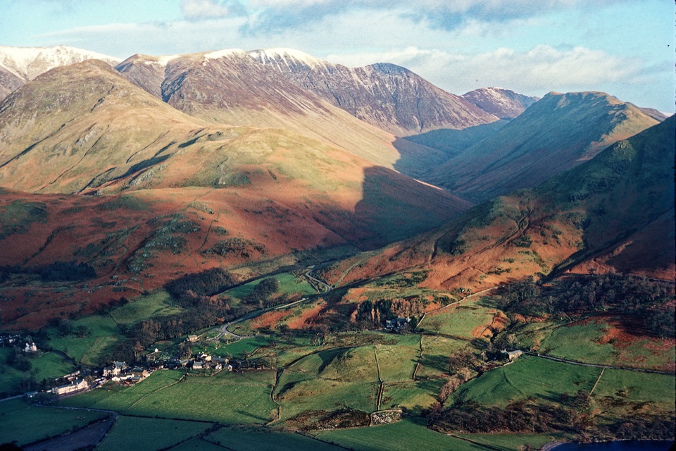 Sight · 0.4 km awayButtermere VillageA tiny hamlet framed by lakes, farms, and dramatic western fells
 Sight · 1.8 km awayButtermereA calm mountain lake ringed by high fells and an easy circuit
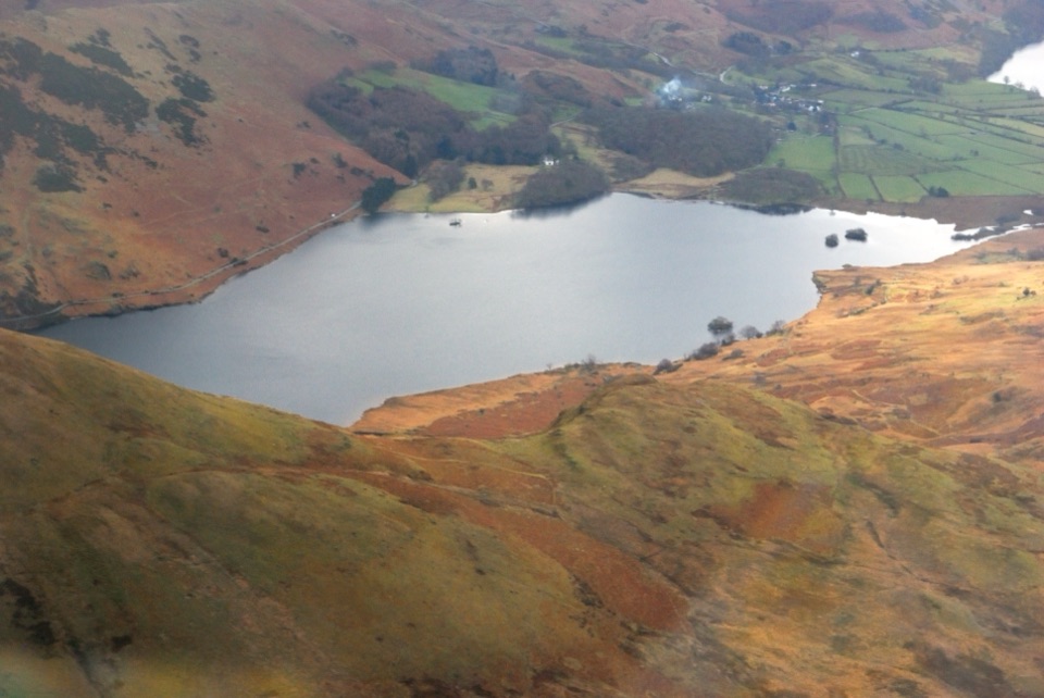 Sight · 2.2 km awayCrummock WaterA clear lake beneath an amphitheater of rugged western fells
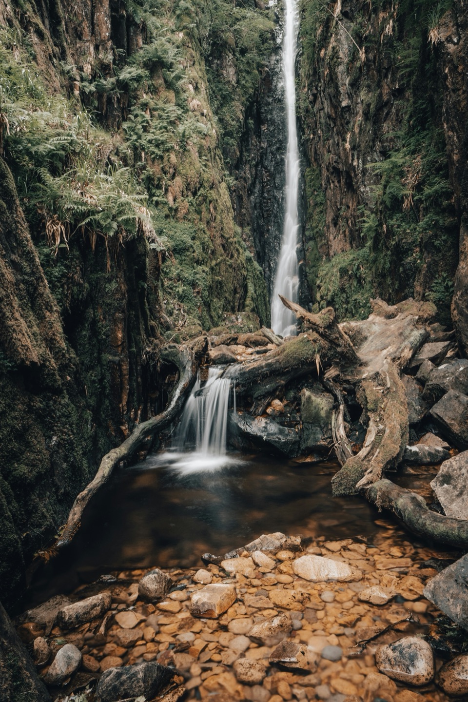 Sight · 2.2 km awayScale ForceThe Lakes' tallest single drop thunders through a mossy gorge
 Sight · 6.3 km awayHonister Slate MineExplore England's last working slate mine beneath a mountain pass
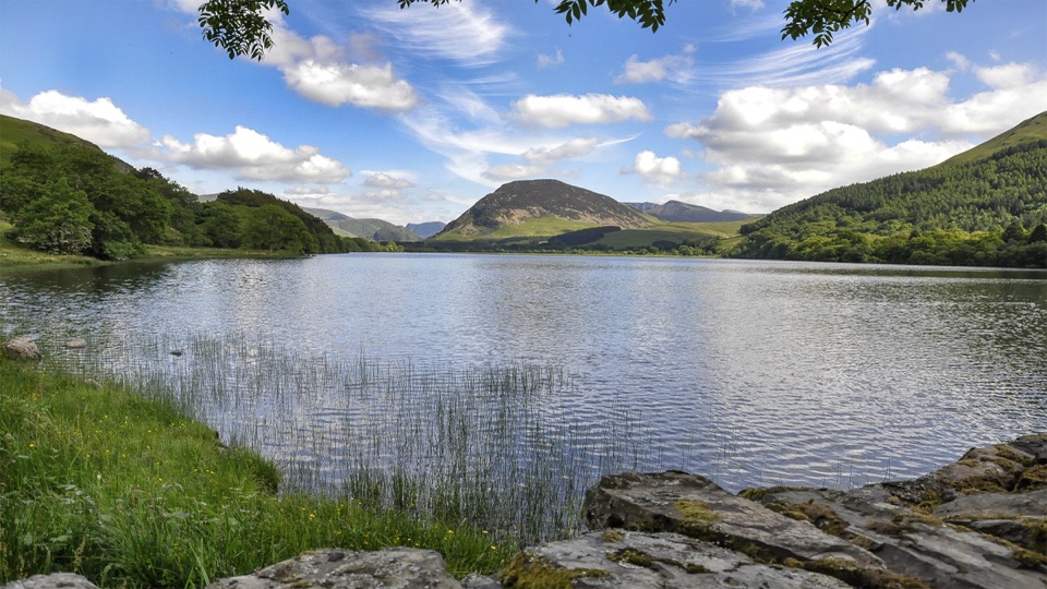 Sight · 6.6 km awayLoweswaterQuiet woodland, water and fell views on an unusually gentle lake walk
 Sight · 6.9 km awayEnnerdale WaterA road-free lake beneath the wild western fells
 Sight · 7.6 km awayCat BellsA short rocky climb to a huge Derwentwater panorama
Parkwolf’s Lake District ranking

The audio tour guide for the drive, plus offline maps, trails, and wildlife heatmaps for when the signal drops.




