Keswick to Threlkeld Railway Trail in Lake District National Park

Lake District National Park, EN

Keswick to Threlkeld Railway Trail

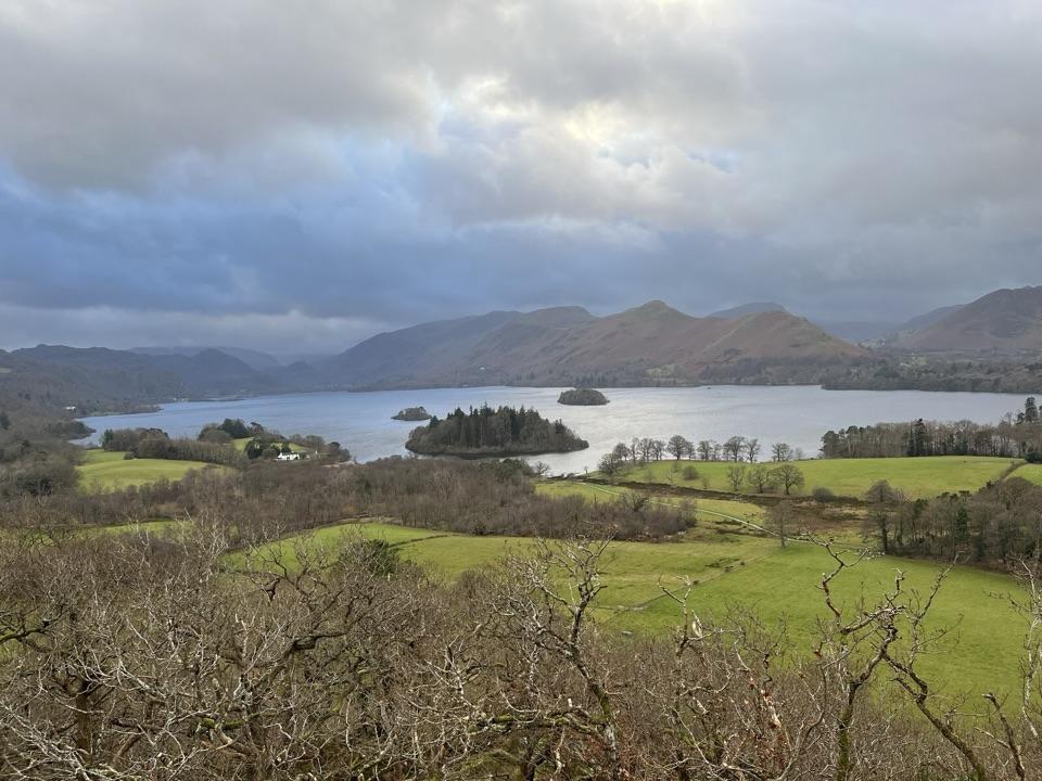
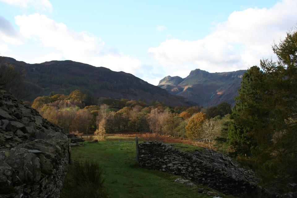
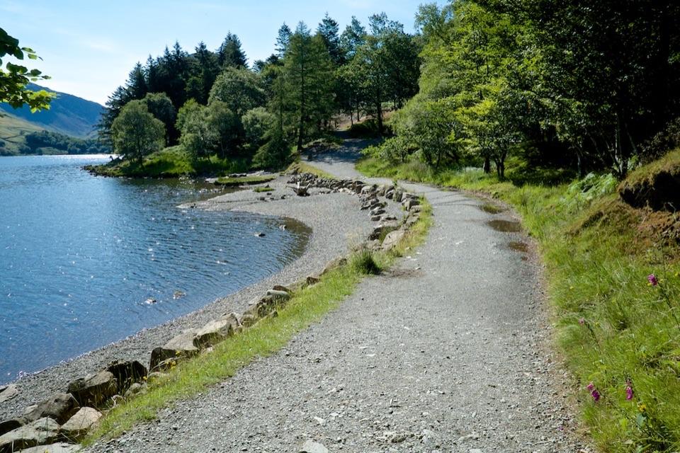
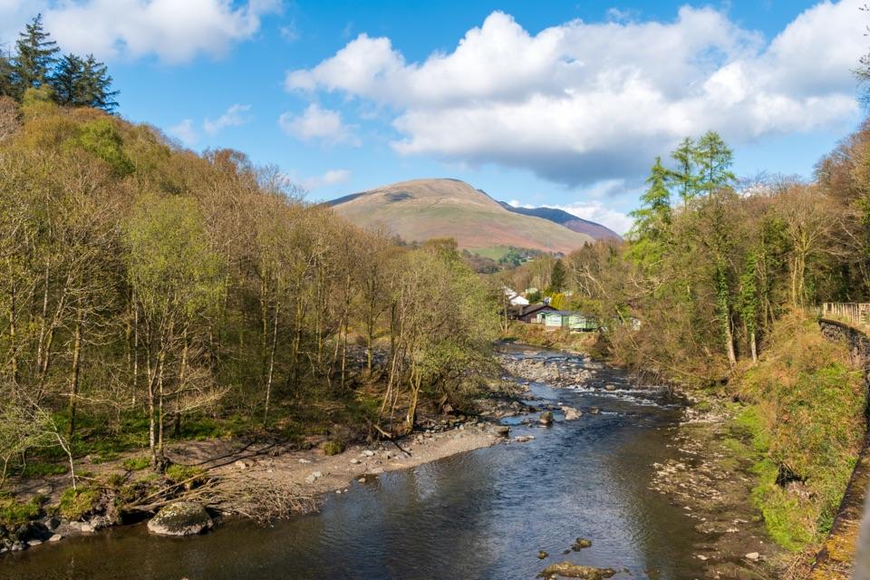
A gentle old railway line with bridges, river views, and Blencathra.

Photo: Dominic Nelson, CC BY-SA 4.0

Length
5km
Time
2.5hr
Elev. change
70m
Difficulty
Easy
  • Dogs allowed
  • High point 162 m

Hear the audio tour

Keswick Railway Trail: River and Tunnel

Overview

About Keswick to Threlkeld Railway Trail

Why go

  • Flat surfaced route designed for wheelchairs, pushchairs, and mobility aids
  • River, bridges, tunnel, and fell views in one low-effort outing
  • Public transport makes a one-way walk possible

Heads up

  • More shared path and former railway than wild fell walking
  • Linear logistics mean arranging transport or retracing your steps

Map & elevation

The route

Loading the Lake District map
Full map
Elevation92–162 m
TrailheadKeswick to Threlkeld Railway Trail54.60387, -3.12970
Keep this map with you offline in the Parkwolf app

Plan your hike

Before you go

Parking

Use the public car park opposite the old station building near Keswick Leisure Pool, postcode CA12 4NP. Follow signs for the Leisure Pool; disabled bays are available. The nearest public toilets are beside Bell Close car park, about a 10-minute walk from the trail start.

Safety

The route is shared with cyclists and reaches the A66 beside the Threlkeld end, so take extra care with children and dogs there. Keep dogs on a lead or under close control, and note that there are no toilets along the trail itself.

8 active Lake District alerts

  • ClosureAnglers’ Crag path closes intermittently for repairsFootpath 407024 and the adjoining unrecorded way over Anglers’ Crag on Ennerdale Water’s southern shore close intermittently for repairs; follow signs to check whether the path is open.Official details
  • ClosureWhinlatter paths close intermittently for forestry workSections of Bridleway 201006 in Thornthwaite Forest and Footpath 201044 at Beckstones Gill close intermittently for forestry thinning; follow signs, as the paths are open when closures are not in…Official details
See all 8 alerts
A park ranger sits on a dash-mounted phone, talking, as Parkwolf’s Tour Guide plays “Army Cutworm Moths: A Grizzly Bear Buffet” on Grand Loop Road below Dunraven Pass in Yellowstone
Parkwolf Tour GuideThe highest, rockiest slopes around here are a summer buffet for grizzly bears.

Lake District Tour Guide

Your drive to Keswick to Threlkeld Railway Trail, narrated.

Parkwolf is a GPS audio tour guide for Lake District National Park. As you drive, it chimes in with what’s ahead: hidden gems, upcoming stops, history, geology, and wildlife, right through your car’s speakers.

See the Lake District audio tour

Recorded for this trailhead

Keswick Railway Trail: River and Tunnel
0:00 / 0:26
“You're approaching Keswick's old station, the start of a smooth railway path through the River Greta gorge.”

Plays as you drive up to this trailhead in the Parkwolf Lake District Tour Guide.

More stories near here in the app

  • Keswick: Market Town and Castle Head
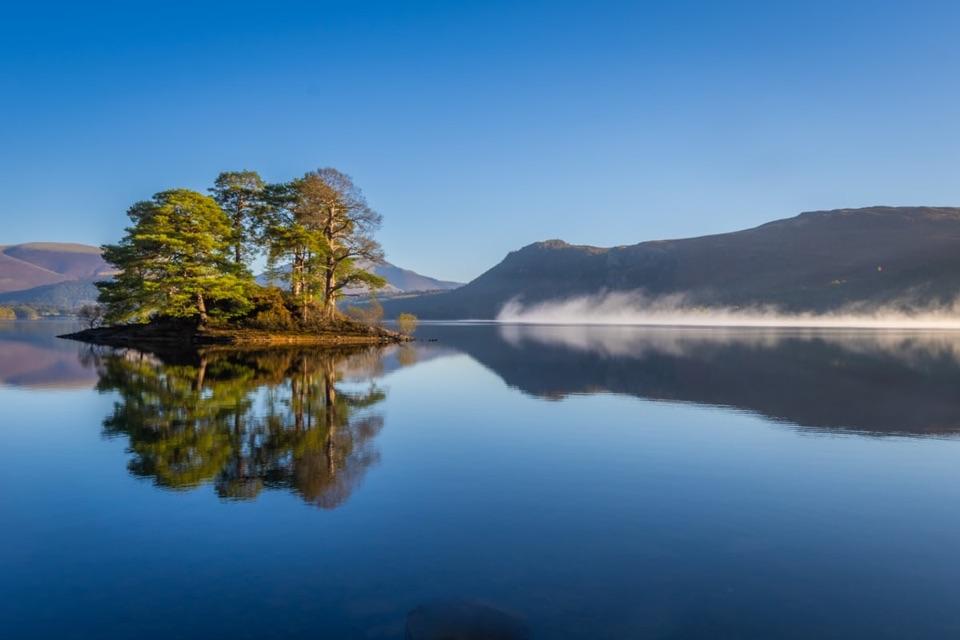
  • Derwentwater and Friar’s Crag
  • Keswick: Music Made from a Mountain
  • Skiddaw and Latrigg from Gale Road
  • 298 audio storiesacross Lake District’s roads, triggered by GPS as you drive
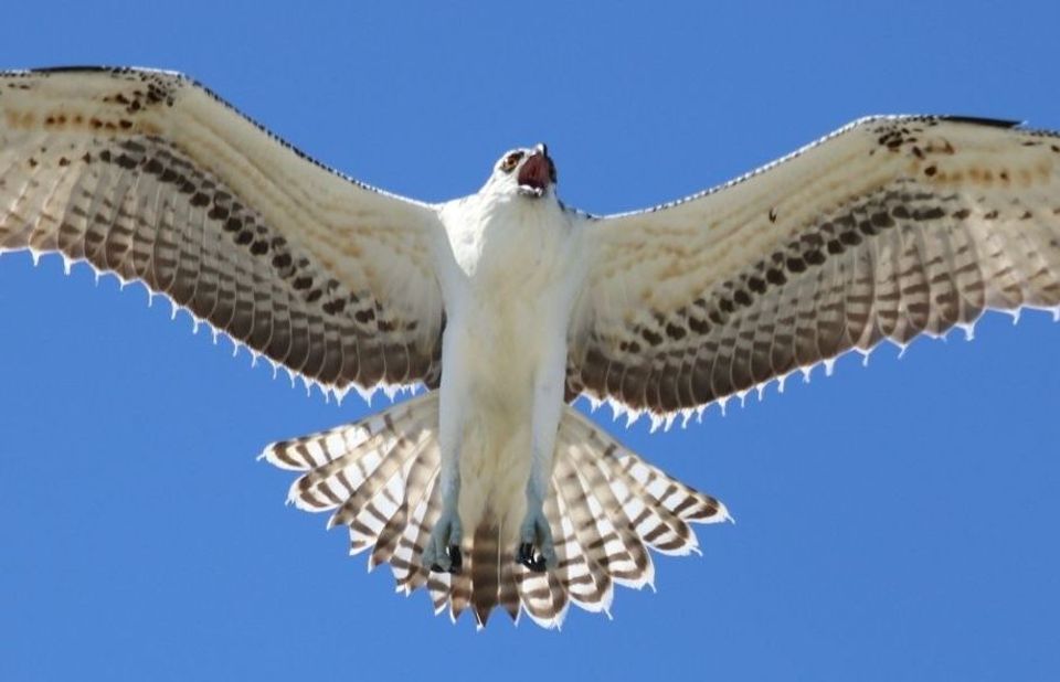
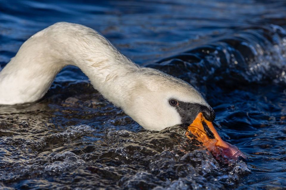
  • Wildlife heatmapsfor Red Deer, Eurasian Otter, Osprey, and 13 more
  • Works offlinemaps, 265 trails, 90 places, and audio download before you lose signal
  • CarPlay readysimple controls built for the drive
★★★★★
“Fantastic app with many points of information… It’s great to just turn on while you’re driving and it gives you an audio tour of the national Park. We love it!!!!”
JMJamesApp Store review
Download Parkwolf on the App StoreGet Parkwolf on Google Play

4.7 from 8,600+ ratings

Trail guide

Hiking Keswick to Threlkeld Railway Trail

What it isThis 3.

This 3.1-mile one-way trail follows the old railway from Keswick toward Threlkeld through the wooded River Greta gorge, crossing railway bridges and passing through a tunnel. Allow around 2 to 2.5 hours at an unhurried pace. Walking back to the start makes it about 6.2 miles, while the bus connection makes a one-way outing practical.

The walkStart at the old Keswick station and follow the former Keswick to Penrith railway through the…

Start at the old Keswick station and follow the former Keswick to Penrith railway through the River Greta gorge. After about 1 km, the path passes through the Bobbin Mill tunnel, then continues beside the river over a run of railway bridges, with seats and information panels along the way. The trail finishes at the A66 near Threlkeld; the village is about 0.75 km farther on for refreshments and toilets.

Effort and accessThis is an easy, broadly flat walk on a smooth surfaced path.

This is an easy, broadly flat walk on a smooth surfaced path. The route was designed for wheelchairs, mobility aids, pushchairs, walkers, cyclists, and families, although mobility scooters need to be class 2 or 3. Allow longer if you stop often or return on foot.

What you will seeThe main payoff is the sequence rather than a summit: fast water in the River Greta, wooded…

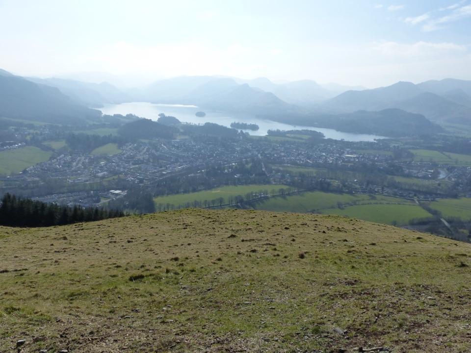
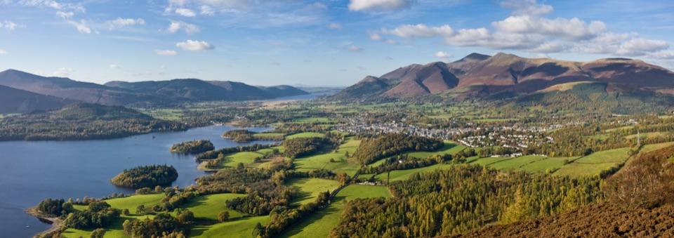
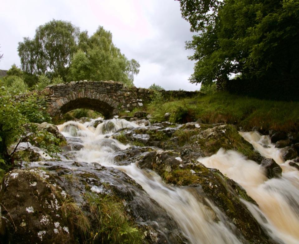
The main payoff is the sequence rather than a summit: fast water in the River Greta, wooded banks, old and rebuilt railway bridges, and glimpses toward Blencathra and the surrounding fells. Herons and dippers are worth watching for by the river. It is a good low-effort introduction to the area, but choose a fell walk instead if you want a bigger view or a more rugged day.

A railway rebuilt for walkersThe last train left Keswick station in 1972.

The last train left Keswick station in 1972. Storm Desmond damaged the route and bridges in 2015; the trail reopened in 2020 with rebuilt crossings and the Bobbin Mill tunnel back in use.

Practical notesParking is easiest at the Keswick end, and the route can be walked in either direction.

Parking is easiest at the Keswick end, and the route can be walked in either direction. Dogs are allowed, but keep them on a lead or under close control around cyclists, livestock, and the river. The route is shared with cyclists, and the short connection beside the A66 at the Threlkeld end needs care.

Wildlife

Wildlife in Lake District

All Lake District wildlife maps

Sighting maps show where each species has been reported across Lake District. Wildlife moves, so no sighting is guaranteed.

Keep exploring

Near Keswick to Threlkeld Railway Trail

See it all on the map

Trails that start nearby

Places near the trailhead

Parkwolf’s Lake District ranking

Top-rated trails in Lake District

All 265 trails
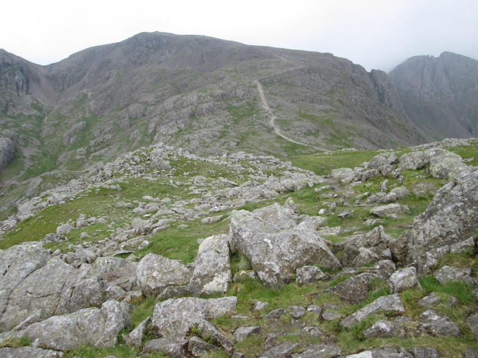
  1. 1Scafell Pike via Hollow Stones from WasdaleChallenging · 9 km
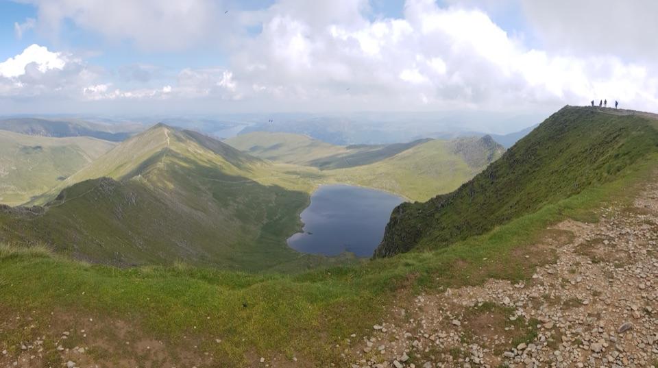
  2. 2Helvellyn via Striding Edge and Swirral EdgeChallenging · 12.4 km
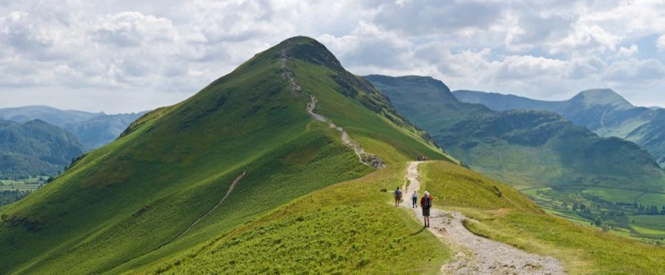
  3. 3CatbellsModerate · 6.6 km
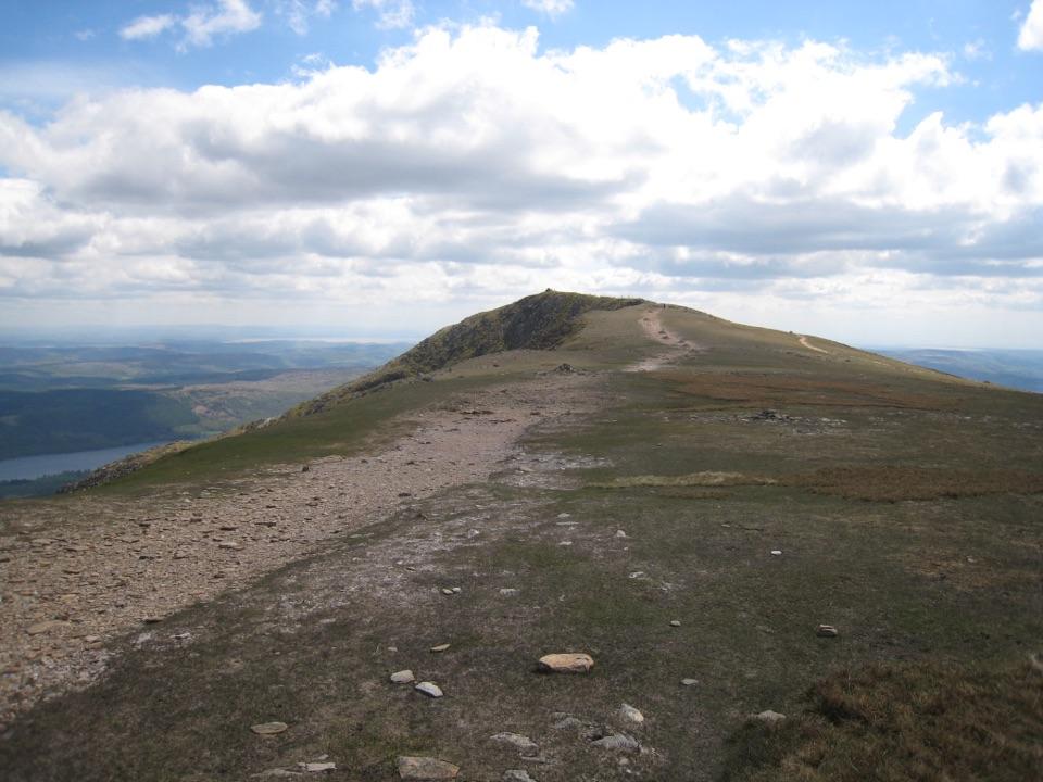
  4. 4The Old Man of ConistonChallenging · 9 km
  5. 5Buttermere CircularEasy · 7.6 km
  6. 6The Fairfield HorseshoeChallenging · 17.2 km

Take Parkwolf to Lake District.

The audio tour guide for the drive, plus offline maps, trails, and wildlife heatmaps for when the signal drops.

4.7 from 8,600+ ratings

Download Parkwolf on the App StoreGet Parkwolf on Google Play