Parking
Keswick Lakeside Car Park on Lake Road is the signed starting access. It has pay-and-display parking, 14 disabled spaces, an accessible toilet, and a café at the start and finish.
Lake District National Park, EN
Stile-free lakeshore and woodland loop with Skiddaw and Cat Bells views
Overview
This is a circular walk from Keswick Lakeside Car Park, with the full marked route measuring 1.25 miles in total, officially rounded to 2 km. That figure includes a short optional out-and-back spur to Friar's Crag. Difficulty is easy, rated 2 out of 10, with total altitude gain under 20 m. Typical completion time is 30 to 45 minutes.
Map & elevation
Plan your hike

The highest, rockiest slopes around here are a summer buffet for grizzly bears.
Lake District Tour Guide
Parkwolf is a GPS audio tour guide for Lake District National Park. As you drive, it chimes in with what’s ahead: hidden gems, upcoming stops, history, geology, and wildlife, right through your car’s speakers.
Recorded for this trailhead
Derwentwater and Friar’s Crag“Up ahead is Keswick's lakeshore on Derwentwater, where a short walk gives you a view down the lake into Borrowdale.”
Plays as you drive up to this trailhead in the Parkwolf Lake District Tour Guide.
More stories near here in the app
“Fantastic app with many points of information… It’s great to just turn on while you’re driving and it gives you an audio tour of the national Park. We love it!!!!”


Trail guide
From the car park you join the Derwent Water foreshore and follow it around Strandshag Bay, then cross a field grazed by Herdwick sheep, pass through Cockshot Wood, return to the lake, and retrace the foreshore access back to the start. The payoff is a compact circuit that strings together open water, an open field with a big fell backdrop, and quiet woodland without a single stile.
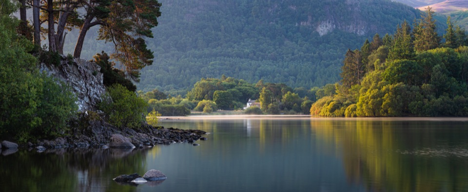
The foreshore gives views across Derwent Water to Cat Bells and Causey Pike, with rocky shoreline in the foreground. Skiddaw rises beyond the sheep field, and Cockshot Wood adds shade and birdsong. Early morning light works well for photographs along the water.
The tarmac start and finish has a 7% slope. Main paths are mostly smooth compacted surface, with one 10 m cobbled stretch and two short wooden boardwalks fitted with grip wire. In the woodland expect small boulders, exposed roots, short muddy patches, adverse camber, and a narrow section descending at 14%.
The optional spur drops at roughly 15%, narrows to about 87 cm at its tightest point, and offers limited turning space. There are steep drops near the point, so keep well back from the edge and take care with children and dogs.
Dogs are allowed and the route is popular with dog walkers. Keep dogs under close control in the sheep field, with particular care around lambing.
Start at Keswick Lakeside Car Park, Lake Road, Keswick CA12 5DJ. Parking is recurring pay and display, with 14 disabled spaces. An accessible toilet and a cafe are at the start and finish. No permit requirement is indicated in the route information.
Skipping the Friar's Crag spur reduces the walk to a 1 mile loop, or 1.6 km, which keeps the lakeshore, field, and woodland while avoiding the steepest and narrowest ground.
Wildlife
 81 sightingsRed DeerMost seen around 7 PMSighting map
 13 sightingsEurasian OtterMost seen around 6 AMSighting map
 76 sightingsOspreyMost seen around 8 AMSighting map
 51 sightingsEuropean BadgerMost seen around 8 PMSighting map
 233 sightingsMute SwanMost seen around 6 PMSighting map
 176 sightingsGrey HeronMost seen around 7 AMSighting map
Sighting maps show where each species has been reported across Lake District. Wildlife moves, so no sighting is guaranteed.
Keep exploring
ModerateDerwent Water Circular16.1 km · 5.5 hr · At the trailheadTen flat lakeshore miles past jetties, oakwoods and island views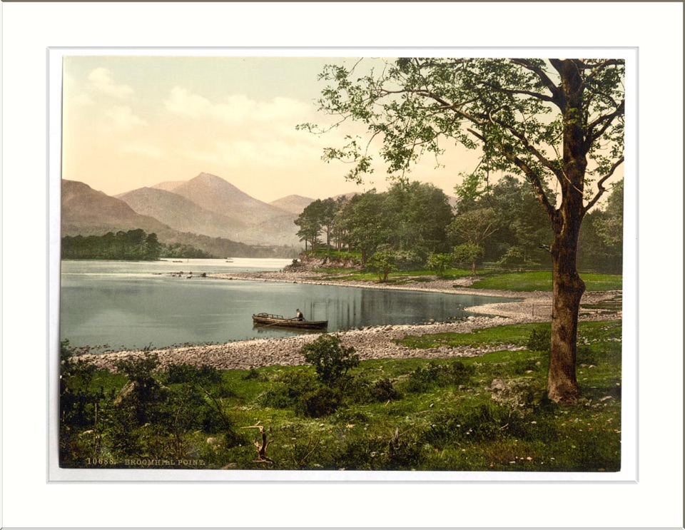 ModerateAccessible Walk to Broomhill Point Viewpoint4.4 km · 1.8 hr · 0.1 km awayDerwent Water views, boardwalks, and a rough final climb
 EasyFriar's Crag1.2 km · 30 min · 0.1 km awayAn easy lakeside stroll to Keswick's signature Derwentwater outlook
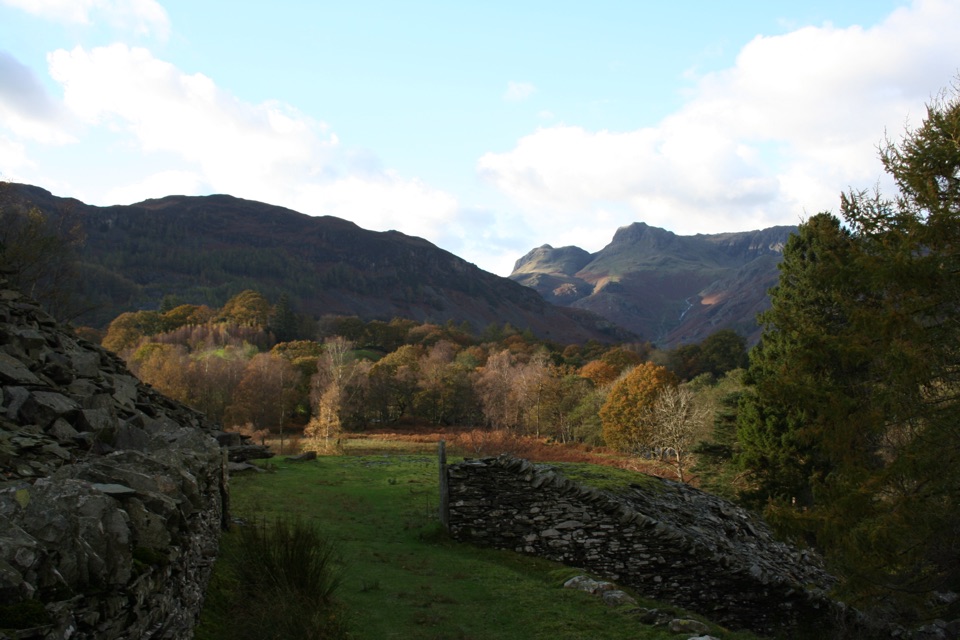 Challenging13 Valleys Trail182.7 km · 2.7 days · 0.1 km awayA huge circuit of lakes, high passes, and all 13 valleys
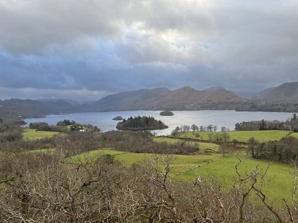 EasyCastle Head Viewpoint Walk4.2 km · 1.3 hr · 0.5 km awaySharp wooded climb to a topograph over Derwentwater, then Friars Crag
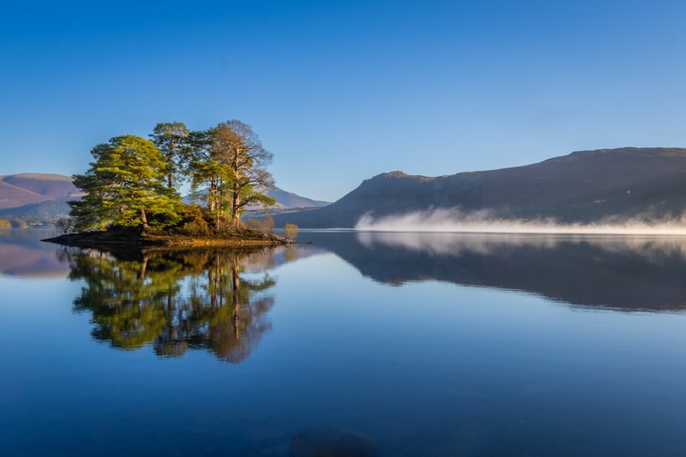 EasyHowrah’s Path, Keswick to Portinscale1.7 km · 1.5 hr · 0.7 km awayLevel riverside link between two villages, with Skiddaw and Catbells views
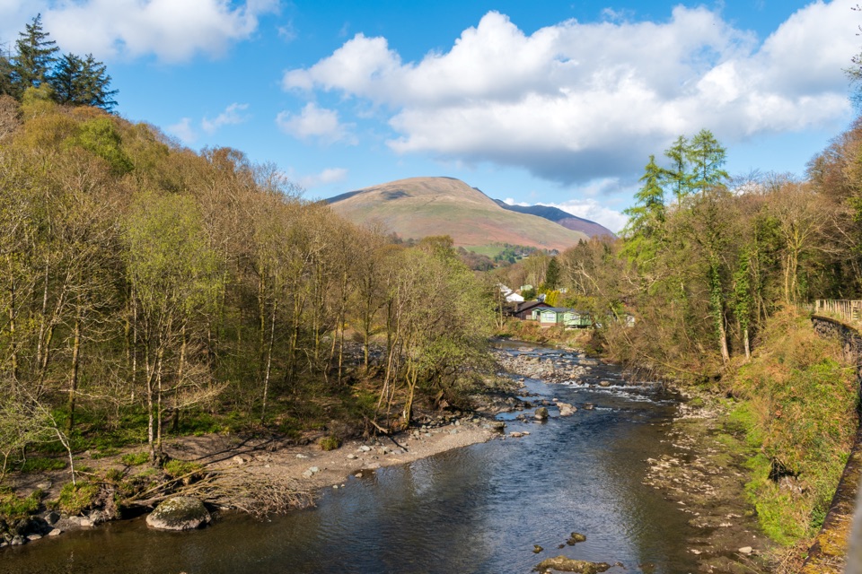 EasyKeswick to Threlkeld Railway Trail5 km · 2.5 hr · 1 km awayA gentle old railway line with bridges, river views, and Blencathra.
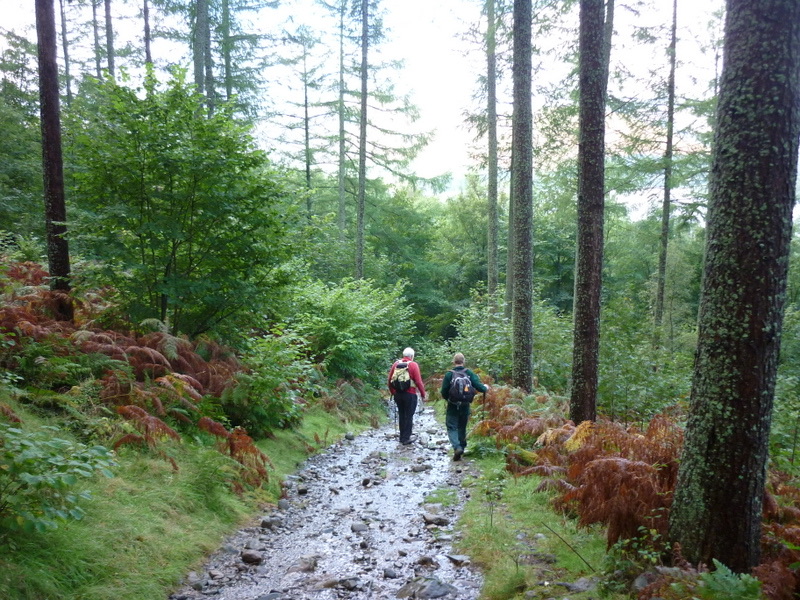 ModerateGreat Wood Walk2.7 km · 1.3 hr · 1.6 km awayA short wooded loop with Derwentwater views below Walla Crag
 Sight · 0.5 km awayKeswickA lively market town framed by Derwentwater and mountain walksSight · 0.7 km awayFriar's CragA level lakeside path to Keswick's classic Derwentwater view
 Sight · 2 km awayDerwentwaterA mountain lake with islands, wooded shores, and classic fell views
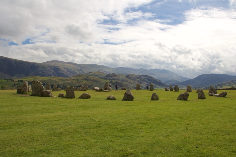 Sight · 2.7 km awayCastlerigg Stone CircleA 4,500-year-old stone ring with a grand mountain backdrop
 Sight · 3.3 km awayAshness BridgeAn 18th-century packhorse bridge above a rushing Borrowdale beck
 Sight · 3.7 km awayCat BellsA short rocky climb to a huge Derwentwater panorama
 Sight · 3.9 km awaySurprise ViewA cliff-edge panorama over Derwentwater, islands, and Borrowdale
 Sight · 4.2 km awayLodore FallsA wooded ravine where Watendlath Beck tumbles toward Derwentwater
Parkwolf’s Lake District ranking

The audio tour guide for the drive, plus offline maps, trails, and wildlife heatmaps for when the signal drops.





