Castle Head Viewpoint Walk in Lake District National Park

Lake District National Park, EN

Castle Head Viewpoint Walk

Sharp wooded climb to a topograph over Derwentwater, then Friars Crag

Photo: Wikimedia Commons
Length
4.2km
Time
1.3hr
Elev. change
66m
Difficulty
Easy
  • Loop
  • Dogs allowed
  • High point 138 m

Hear the audio tour

Keswick: Market Town and Castle Head

Overview

About Castle Head Viewpoint Walk

Why go

  • Big Derwentwater views from a short climb
  • Friars Crag adds a second distinct viewpoint
  • Easy lakeshore finish through Hope Park

Heads up

  • Sharp rocky step and uneven woodland footing
  • Busy Borrowdale Road crossing

Map & elevation

The route

Loading the Lake District map
Full map
Elevation72–138 m
TrailheadMoot Hall, Market Square54.60087, -3.13698
Keep this map with you offline in the Parkwolf app

Plan your hike

Before you go

Parking

The route starts at Moot Hall in Market Square, not at a trailhead lot. Use a Keswick town-centre car park and walk to the square. Lakeside Car Park is near the return leg, but it still requires a walk to Moot Hall if you want to follow the mapped loop in order.


Best time to go

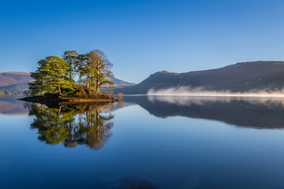
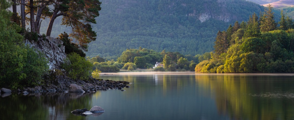
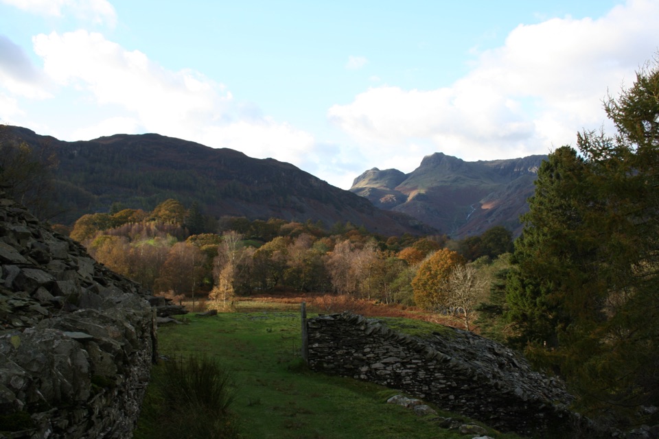
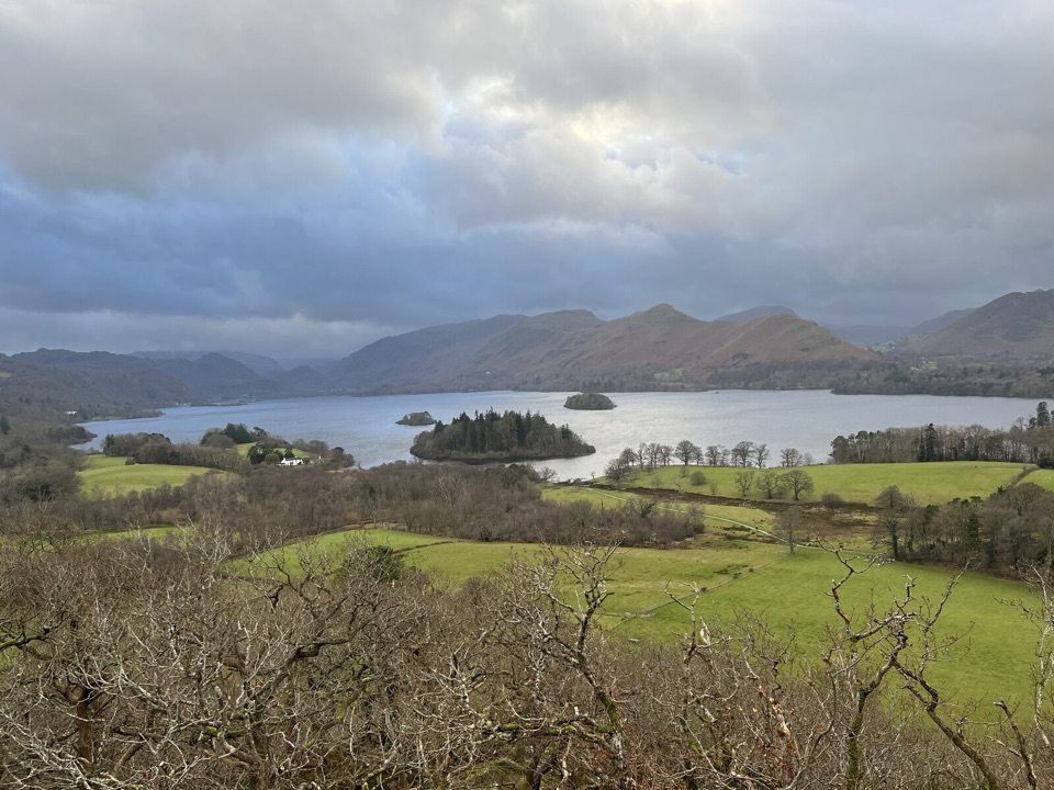
The toposcope on Castlehead opens out over Derwentwater and Lord's Island, with Catbells, Causey Pike, Grisedale Pike, the head of Borrowdale and the Scafell range on the skyline. Friars Crag adds a low, close-up lakeside viewpoint at water level. A clear morning or late afternoon gives the best light across the water and onto the fells, and autumn colour in the oak, beech, birch, alder and holly woodland is particularly good. This is a sensible choice when you want a genuine Lakeland panorama without committing to a full fell day.

Safety

The short Castlehead climb has stone steps, uneven rocks and a small scramble. Cross the often busy Borrowdale Road carefully. The route crosses a grazed field; keep dogs on short leads around sheep and under close control near wildlife.

8 active Lake District alerts

  • ClosureChapel Stile footpath closed for retaining-wall riskPart of Footpath 543030 between Chapel Stile and Baysbrown campsite is closed because a retaining wall beside the path could collapse and material it supports could fall across the footpath.Official details
  • ClosureStanley Ghyll Lower Falls footpath closed for rockfallThe section of Footpath 408037 leading towards Stanley Ghyll Lower Falls is closed because severe rockfall damage has made the path unstable and further rockfall remains a danger.Official details
See all 8 alerts
A park ranger sits on a dash-mounted phone, talking, as Parkwolf’s Tour Guide plays “Army Cutworm Moths: A Grizzly Bear Buffet” on Grand Loop Road below Dunraven Pass in Yellowstone
Parkwolf Tour GuideThe highest, rockiest slopes around here are a summer buffet for grizzly bears.

Lake District Tour Guide

Your drive to Castle Head Viewpoint Walk, narrated.

Parkwolf is a GPS audio tour guide for Lake District National Park. As you drive, it chimes in with what’s ahead: hidden gems, upcoming stops, history, geology, and wildlife, right through your car’s speakers.

Recorded for this trailhead

Keswick: Market Town and Castle Head
0:00 / 1:12
“You're drawing near Keswick's town centre, where you can combine a look around the shops with a short climb for a view over Derwentwater.”

Plays as you drive up to this trailhead in the Parkwolf Lake District Tour Guide.

More stories near here in the app

  • Derwentwater and Friar’s Crag
  • Keswick Railway Trail: River and Tunnel
  • Great Wood: Walla Crag or Woodland Loop
  • Skiddaw and Latrigg from Gale Road
  • 298 audio storiesacross Lake District’s roads, triggered by GPS as you drive
  • Wildlife heatmapsfor Red Deer, Eurasian Otter, Osprey, and 13 more
  • Works offlinemaps, 265 trails, 89 places, and audio download before you lose signal
  • CarPlay readysimple controls built for the drive
★★★★★
“Fantastic app with many points of information… It’s great to just turn on while you’re driving and it gives you an audio tour of the national Park. We love it!!!!”
JMJamesApp Store review
Download Parkwolf on the App StoreGet Parkwolf on Google Play

4.7 from 8,600+ ratings

Trail guide

Hiking Castle Head Viewpoint Walk

The walk in shortA 2.

A 2.6-mile loop from Moot Hall in Keswick over the low wooded hill of Castlehead, down to the shore of Derwentwater and out to Friars Crag before returning through Hope Park. That 2.6 miles is the total distance for the whole circuit, including the town streets, the Castlehead ascent and descent, the connector to the lake, the shoreline spur to Friars Crag and the walk back. Allow about 1.25 hours, or 1 to 1.5 hours with photo stops. Note that a shorter Castlehead-only version of around 1.8 miles is often described locally; that is a separate, trimmed option and not the route measured here.

Route sequenceLeave Market Square past St John's Street and the Alhambra Cinema, then turn onto Springs Road.
  • Leave Market Square past St John's Street and the Alhambra Cinema, then turn onto Springs Road.
  • After roughly 200 m, take the signed public footpath between fields into Castlehead Wood.
  • Climb steadily through the trees, tackle the rocky step near the top, and reach the benches and toposcope at about 162 m.
  • Descend, cross Borrowdale Road, continue through Cockshot Woods, over a footbridge and across a field to Strandshag Bay.
  • Follow the gravel shore path to Friars Crag and the Ruskin memorial, then return along the promenade past the Theatre by the Lake, through Hope Park and under the underpass to Lake Road and Market Square.
Difficulty and footingRated 3 out of 10, with about 96 m of ascent.

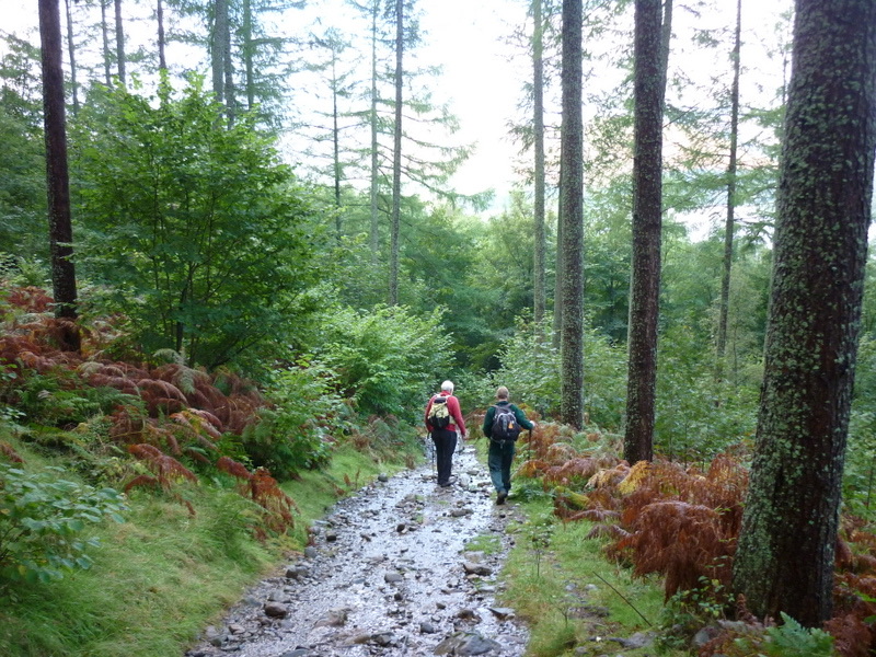
Rated 3 out of 10, with about 96 m of ascent. Most of the distance is town pavement, track, gravel and easy path, but the wooded climb is short and sharp, with stone steps, uneven rocky tread and one small scramble where hands are useful. Boots or trainers with grip help in wet weather, when tree roots and rock get slippery. The circuit crosses Borrowdale Road, which is often busy, so treat that as a proper road crossing and keep children close. The field near Strandshag Bay is grazed, so shut gates behind you.

Access and dogsThe walk starts and finishes at Moot Hall in Market Square rather than at a trailhead car park.

The walk starts and finishes at Moot Hall in Market Square rather than at a trailhead car park. Use one of the Keswick town-centre car parks and walk in, or park at Lakeside near the return leg and walk to Moot Hall first so the loop runs in the described order. Dogs are welcome around Borrowdale and Derwent Water. Keep them on a short lead near livestock and under close control elsewhere to protect ground-nesting birds, wildlife and other walkers.

Wildlife

Wildlife in Lake District

All Lake District wildlife maps

Sighting maps show where each species has been reported across Lake District. Wildlife moves, so no sighting is guaranteed.

Keep exploring

Near Castle Head Viewpoint Walk

See it all on the map

Trails that start nearby

Places near the trailhead

Parkwolf’s Lake District ranking

Top-rated trails in Lake District

All 265 trails
  1. 1Scafell Pike via Hollow Stones from WasdaleChallenging · 9 km
  2. 2Helvellyn via Striding Edge and Swirral EdgeChallenging · 12.4 km
  3. 3CatbellsModerate · 6.6 km
  4. 4The Old Man of ConistonChallenging · 9 km
  5. 5Buttermere CircularEasy · 7.6 km
  6. 6The Fairfield HorseshoeChallenging · 17.2 km

Take Parkwolf to Lake District.

The audio tour guide for the drive, plus offline maps, trails, and wildlife heatmaps for when the signal drops.

4.7 from 8,600+ ratings

Download Parkwolf on the App StoreGet Parkwolf on Google Play