Derwent Water Circular in Lake District National Park

#10 of 265 trails in Lake District

Lake District National Park, EN

Derwent Water Circular

Ten flat lakeshore miles past jetties, oakwoods and island views

Photo: Wikimedia Commons
Length
16.1km
Time
5.5hr
Elev. change
23m
Difficulty
Moderate
  • Loop
  • Dogs allowed
  • High point 98 m

Hear the audio tour

Derwentwater and Friar’s Crag

Overview

About Derwent Water Circular

This is a waymarked circuit right around Derwentwater, starting and finishing at the Keswick lakeside. The full loop is 10 miles round trip, and most people finish in about 5.5 hours, with roughly 4.5 to 6 hours covering the usual range depending on pace, stops and whether high water forces a detour. Treat it as a full day if you want time to linger at the shore.

Why go

  • Continuous lake and fell views
  • Waymarked route with varied scenery
  • Low-level circuit with easy shortening options

Heads up

  • Long day with some road walking
  • South-end boardwalk can flood

Map & elevation

The route

Loading the Lake District map
Full map
Elevation75–98 m
TrailheadKeswick Lakeside Car Park54.59609, -3.13812
Keep this map with you offline in the Parkwolf app

Plan your hike

Before you go

Parking

Use Keswick Lakeside Car Park near the Theatre by the Lake and Keswick Launch. The walk starts with a short stretch along Lake Road before reaching the shore. Keswick's other town car parks are alternatives; follow local signs in rural lanes rather than relying only on satnav.


Best time to go

The lakeside near Keswick and Friar's Crag draws steady footfall, and it is busiest through peak summer and on fine weekends. Outside high season, and early or late in the day, the shore tends to feel quieter and the low light across the water and the fells is at its best. Carry water and food for the whole circuit even though there are cafes and facilities in Keswick and at a few points on the way.

Safety

The Chinese Bridge and south-end boardwalk sit at the River Derwent delta and can flood after heavy rain. If water is high, allow for roughly 3 km of road diversion via Grange, plus extra traffic exposure. Expect gates, stiles, rough shore and road sections.

8 active Lake District alerts

  • ClosureChapel Stile footpath closed for retaining-wall riskPart of Footpath 543030 between Chapel Stile and Baysbrown campsite is closed because a retaining wall beside the path could collapse and material it supports could fall across the footpath.Official details
  • ClosureStanley Ghyll Lower Falls footpath closed for rockfallThe section of Footpath 408037 leading towards Stanley Ghyll Lower Falls is closed because severe rockfall damage has made the path unstable and further rockfall remains a danger.Official details
See all 8 alerts
A park ranger sits on a dash-mounted phone, talking, as Parkwolf’s Tour Guide plays “Army Cutworm Moths: A Grizzly Bear Buffet” on Grand Loop Road below Dunraven Pass in Yellowstone
Parkwolf Tour GuideThe highest, rockiest slopes around here are a summer buffet for grizzly bears.

Lake District Tour Guide

Your drive to Derwent Water Circular, narrated.

Parkwolf is a GPS audio tour guide for Lake District National Park. As you drive, it chimes in with what’s ahead: hidden gems, upcoming stops, history, geology, and wildlife, right through your car’s speakers.

Recorded for this trailhead

Derwentwater and Friar’s Crag
0:00 / 1:04
“Up ahead is Keswick's lakeshore on Derwentwater, where a short walk gives you a view down the lake into Borrowdale.”

Plays as you drive up to this trailhead in the Parkwolf Lake District Tour Guide.

More stories near here in the app

  • Keswick: Market Town and Castle Head
  • Keswick Railway Trail: River and Tunnel
  • Great Wood: Walla Crag or Woodland Loop
  • Cat Bells: Ridge and Lakeshore Loop
  • 298 audio storiesacross Lake District’s roads, triggered by GPS as you drive
  • Wildlife heatmapsfor Red Deer, Eurasian Otter, Osprey, and 13 more
  • Works offlinemaps, 265 trails, 89 places, and audio download before you lose signal
  • CarPlay readysimple controls built for the drive
★★★★★
“Fantastic app with many points of information… It’s great to just turn on while you’re driving and it gives you an audio tour of the national Park. We love it!!!!”
JMJamesApp Store review
Download Parkwolf on the App StoreGet Parkwolf on Google Play

4.7 from 8,600+ ratings

Trail guide

Hiking Derwent Water Circular

How the walk unfoldsFrom the lakeside you pass the jetties and swing out to Friar's Crag for the classic view down…

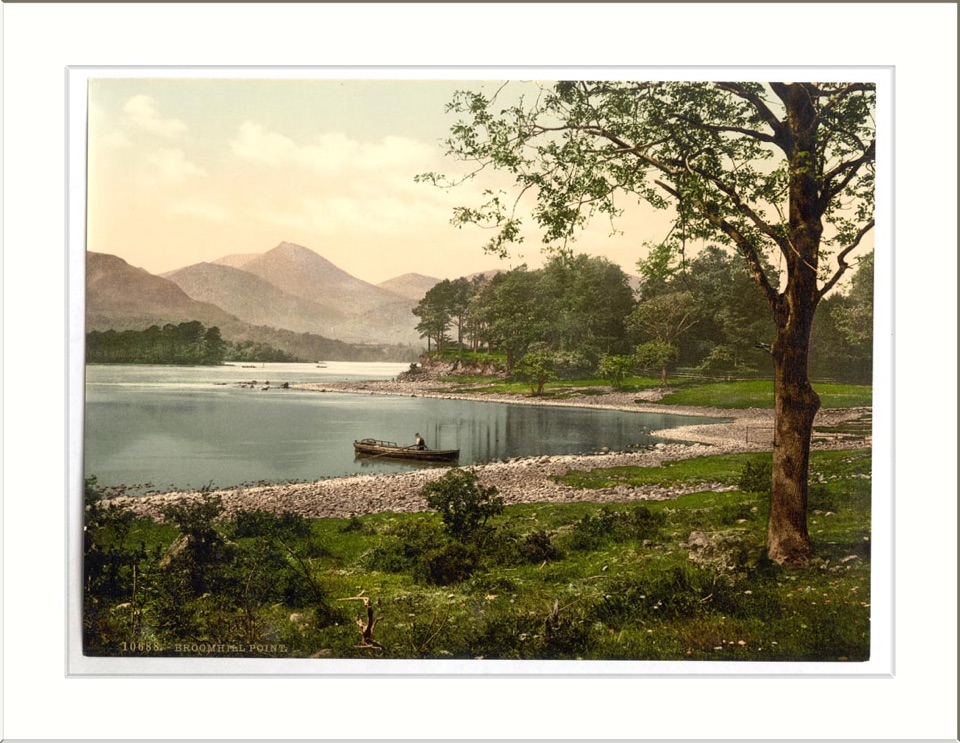
From the lakeside you pass the jetties and swing out to Friar's Crag for the classic view down the lake toward the Jaws of Borrowdale, then work anticlockwise around the shore:

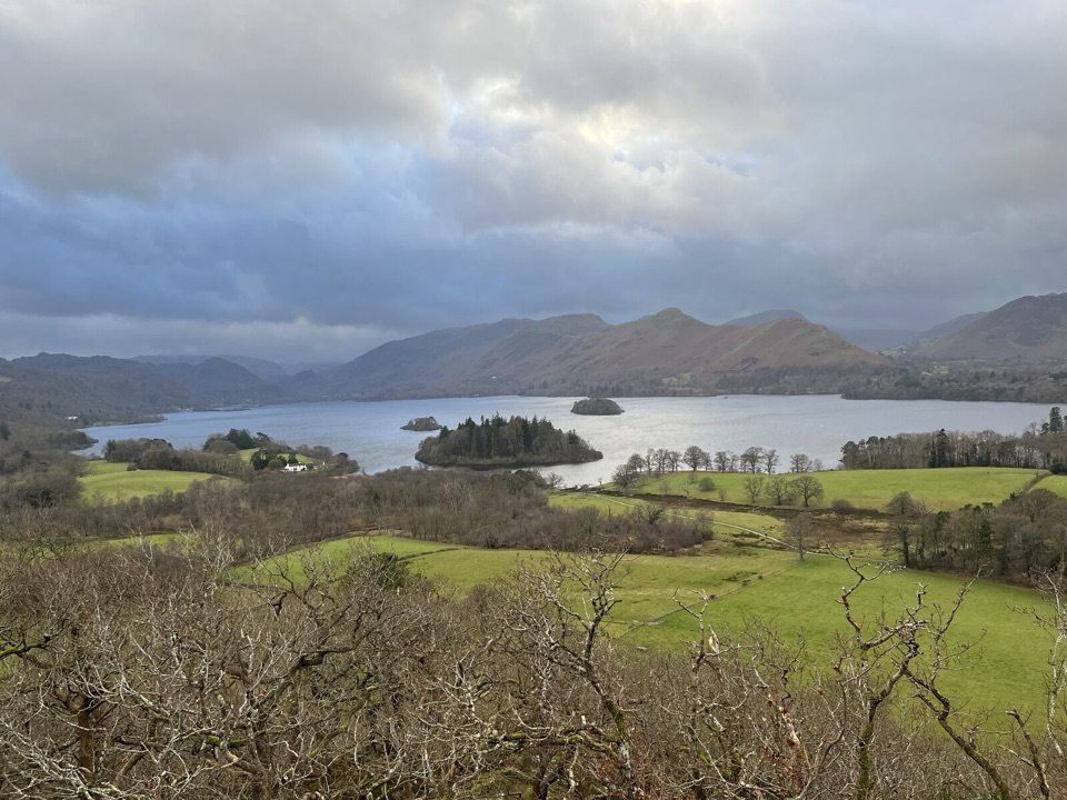
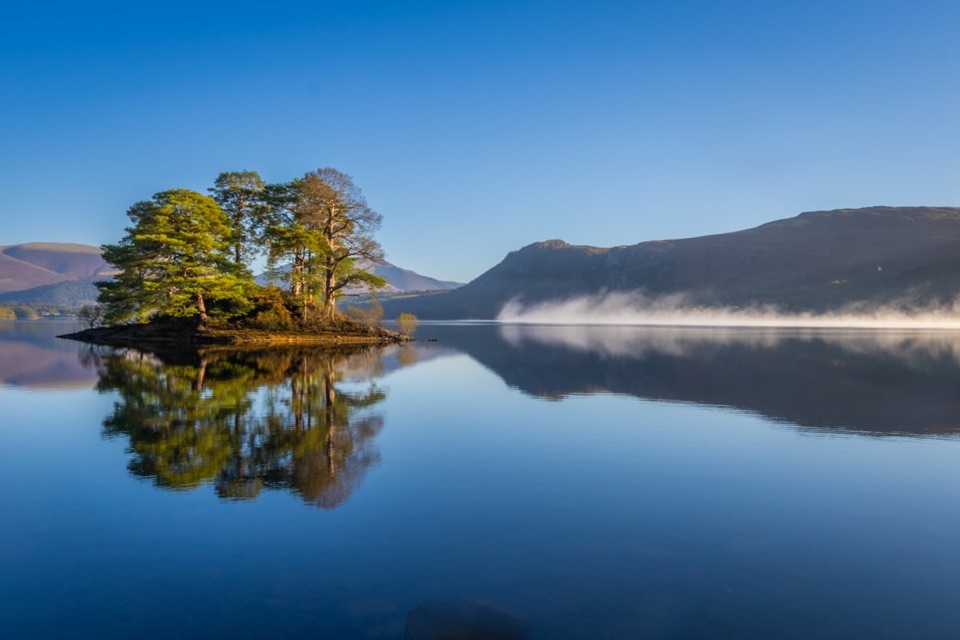
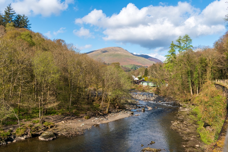
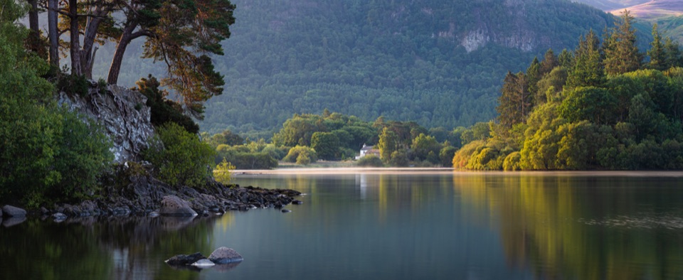
Along the way you look across to Derwent Island, Lord's Island and Rampsholme Island, with Catbells rising on one side and Skiddaw and the Borrowdale fells framing the other.

  • Woodland and the Ings, Stable Hills, the Millennium Seat, then Calfclose Bay and the Hundred Year Stone
  • Great Wood, Ashness Gate and the Kettlewell and Lodore area near the southern end
  • The Chinese Bridge, then the boardwalks and wetland at the head of the lake
  • Brandelhow Park with its Entrust hands sculpture, Low Brandelhow, Hawse End and Nichol End
  • A short stretch through Portinscale, the suspension bridge over the River Derwent, and the walk back into Keswick
Difficulty, surfaces and road sectionsRated 4 out of 10, moderate almost entirely because of distance rather than climbing.

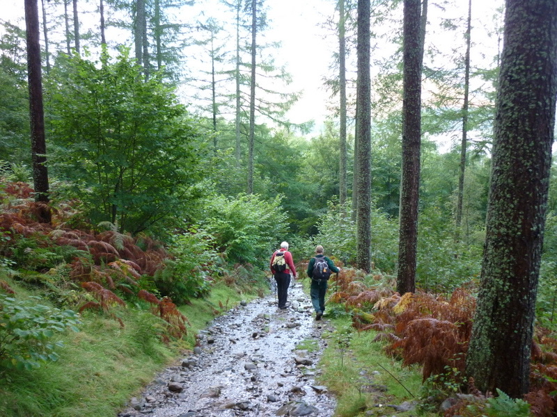
Rated 4 out of 10, moderate almost entirely because of distance rather than climbing. Expect mostly flat gravel paths, farm and woodland tracks, open shoreline, boardwalk, plus short rocky or stepped bits and some pavement. There is a little road walking, including through Portinscale, so keep children and dogs close and walk facing traffic where there is no pavement. Gates, stiles and a few junctions where the waymarking needs attention mean this is not a fully accessible route.

When the water is highThe Chinese Bridge and the raised boardwalk sit at the River Derwent delta and can flood after…

The Chinese Bridge and the raised boardwalk sit at the River Derwent delta and can flood after heavy rainfall. If the boardwalk is under water, the signed alternative is a road diversion of about 3 km by way of Grange, which adds time and puts you on tarmac for a stretch. Plan for that possibility after a wet spell and allow extra daylight.

Nature to noticeDerwentwater is a glacial lake ringed by fells, and the walk threads Atlantic oakwood, mixed…

Derwentwater is a glacial lake ringed by fells, and the walk threads Atlantic oakwood, mixed woodland and wetland at the southern end. Slow down in the quieter woods and watch or listen for red squirrels, which are known in this area though far from a certainty.

Access, parking and dogsStart from the Keswick Lakeside Car Park near the Theatre by the Lake, close to the Keswick…

Start from the Keswick Lakeside Car Park near the Theatre by the Lake, close to the Keswick Launch and the lakeside information point. From there it is a short walk along Lake Road before you reach the shore. In these rural lanes and car parks, follow local signage rather than relying only on satnav. Dogs are welcome on the standard route and should be kept under control around roads, livestock, other walkers and wildlife.

If you want something shorterWalla Crag is a separate and hillier walk that trades the long shoreline day for a steeper…

Walla Crag is a separate and hillier walk that trades the long shoreline day for a steeper climb and a concentrated panorama over the lake. It is a different outing rather than part of this circuit.

Wildlife

Wildlife in Lake District

All Lake District wildlife maps

Sighting maps show where each species has been reported across Lake District. Wildlife moves, so no sighting is guaranteed.

Keep exploring

Near Derwent Water Circular

See it all on the map

Trails that start nearby

Places near the trailhead

Parkwolf’s Lake District ranking

Top-rated trails in Lake District

All 265 trails
  1. 1Scafell Pike via Hollow Stones from WasdaleChallenging · 9 km
  2. 2Helvellyn via Striding Edge and Swirral EdgeChallenging · 12.4 km
  3. 3CatbellsModerate · 6.6 km
  4. 4The Old Man of ConistonChallenging · 9 km
  5. 5Buttermere CircularEasy · 7.6 km
  6. 6The Fairfield HorseshoeChallenging · 17.2 km

Take Parkwolf to Lake District.

The audio tour guide for the drive, plus offline maps, trails, and wildlife heatmaps for when the signal drops.

4.7 from 8,600+ ratings

Download Parkwolf on the App StoreGet Parkwolf on Google Play