Borger Dalr Geology Walk in Lake District National Park

Lake District National Park, EN

Borger Dalr Geology Walk

Glacial landforms, slate quarries, and a Castle Crag payoff

Photo: Wikimedia Commons
Length
8km
Time
3hr
Elev. change
169m
Difficulty
Moderate
  • Loop
  • Dogs allowed
  • High point 251 m
  • #105 of 265 in Lake District

Hear the audio tour

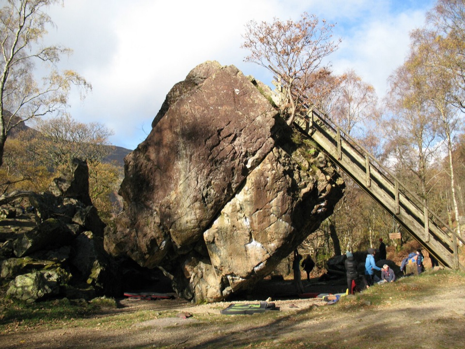
Bowder Stone: A Woodland Giant

Overview

About Borger Dalr Geology Walk

Why go

  • A geology story you can see in the ground, not just read about
  • Dalt Quarry and Castle Crag give the circuit a real destination

Heads up

  • Includes a road section and some retraced walking
  • The Castle Crag finish is steep, rocky, and slippery when wet
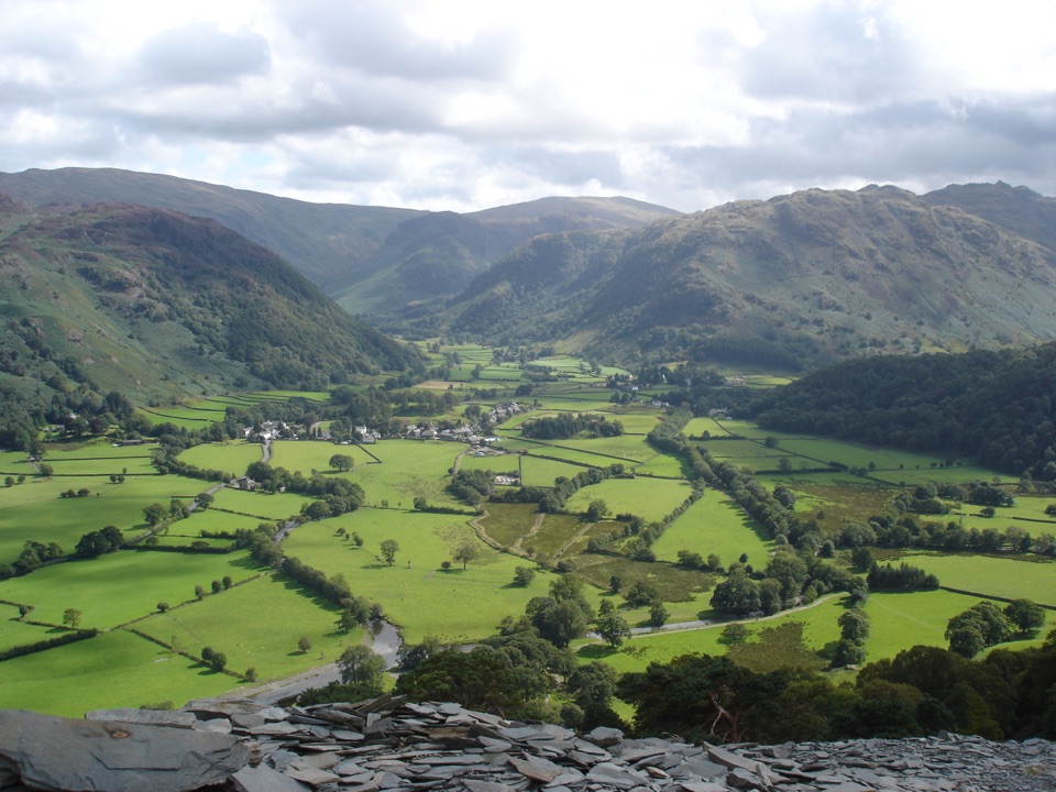
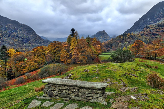
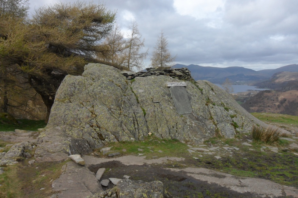
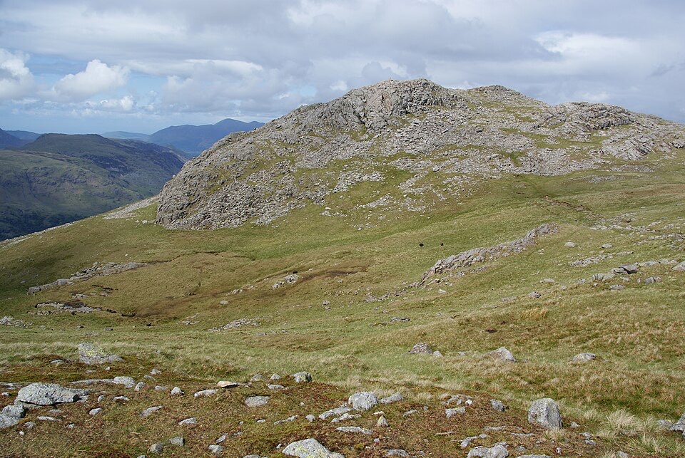
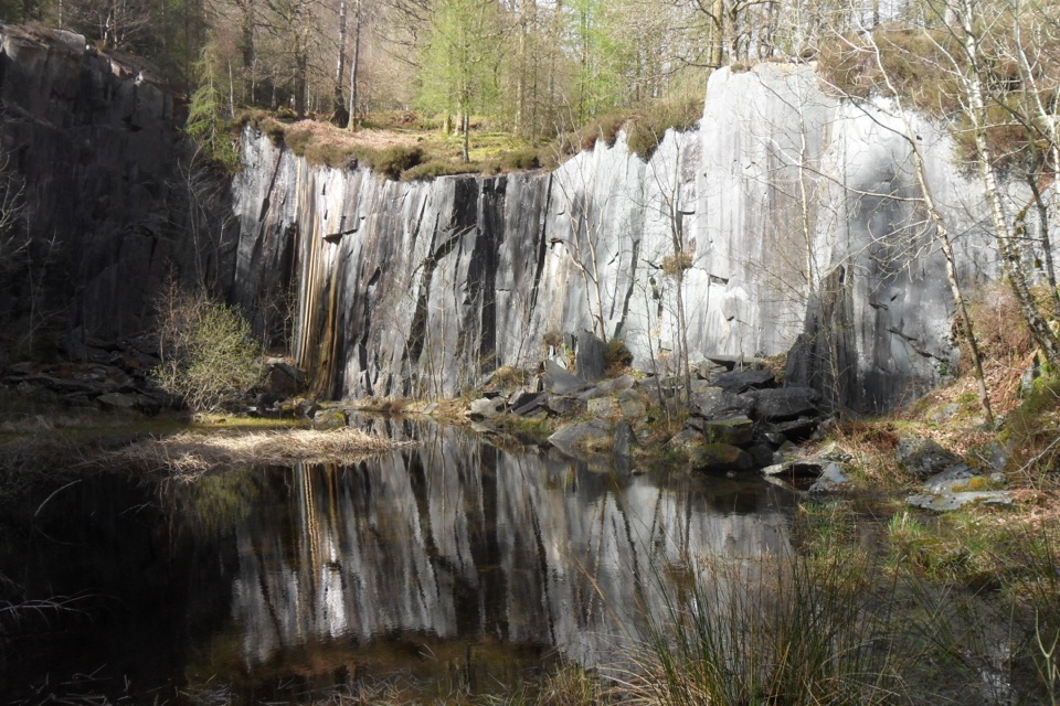
The interest builds gradually. Peace Howe gives you a quiet viewpoint back towards Derwent Water, while the valley floor shows the contrast between smooth Skiddaw slate and harder Borrowdale volcanic rock. Holmcrag Wood is a glacially shaped rock knoll, and Dalt Quarry brings the geology into sharp focus with dark slate faces, spoil, and woodland. Castle Crag is the payoff: a small, rugged summit with a broad view over Derwent Water and the surrounding fells.
Parkwolf’s verdictWhat makes it worth doing

Map & elevation

The route

Loading the Lake District map
Full map
Elevation82–251 m
TrailheadBorger Dalr Geology Walk54.54129, -3.15478
Keep this map with you offline in the Parkwolf app

Plan your hike

Before you go

Parking

Begin at Bowder Stone National Trust car park, CA12 5XA, grid reference NY253168. Use the second tier of the car park and follow the signed path through the small wooden gate. Parking is pay-and-display with payment by machine or JustPark; National Trust members should register or scan their membership as directed on site.


Safety

Cross the B5289 carefully near Grange. The route becomes steep and uneven around Castle Crag, with loose slate spoil and slippery rock in wet weather. The walk is not wheelchair accessible. Keep dogs under close control around livestock and wildlife.

8 active Lake District alerts

  • ClosureChapel Stile footpath closed for retaining-wall riskPart of Footpath 543030 between Chapel Stile and Baysbrown campsite is closed because a retaining wall beside the path could collapse and material it supports could fall across the footpath.Official details
  • ClosureStanley Ghyll Lower Falls footpath closed for rockfallThe section of Footpath 408037 leading towards Stanley Ghyll Lower Falls is closed because severe rockfall damage has made the path unstable and further rockfall remains a danger.Official details
See all 8 alerts
A park ranger sits on a dash-mounted phone, talking, as Parkwolf’s Tour Guide plays “Army Cutworm Moths: A Grizzly Bear Buffet” on Grand Loop Road below Dunraven Pass in Yellowstone
Parkwolf Tour GuideThe highest, rockiest slopes around here are a summer buffet for grizzly bears.

Lake District Tour Guide

Your drive to Borger Dalr Geology Walk, narrated.

Parkwolf is a GPS audio tour guide for Lake District National Park. As you drive, it chimes in with what’s ahead: hidden gems, upcoming stops, history, geology, and wildlife, right through your car’s speakers.

Recorded for this trailhead

Bowder Stone: A Woodland Giant
0:00 / 0:56
“You're nearing the Bowder Stone car park, the starting point for a short woodland walk to a remarkably lopsided boulder.”

Plays as you drive up to this trailhead in the Parkwolf Lake District Tour Guide.

More stories near here in the app

  • Borrowdale: Graphite Under Guard
  • Rosthwaite: Dock Tarn and Great Crag
  • Lodore Falls: The Lower Viewpoint
  • Surprise View: Panorama Without the Climb
  • 298 audio storiesacross Lake District’s roads, triggered by GPS as you drive
  • Wildlife heatmapsfor Red Deer, Eurasian Otter, Osprey, and 13 more
  • Works offlinemaps, 265 trails, 89 places, and audio download before you lose signal
  • CarPlay readysimple controls built for the drive
★★★★★
“Fantastic app with many points of information… It’s great to just turn on while you’re driving and it gives you an audio tour of the national Park. We love it!!!!”
JMJamesApp Store review
Download Parkwolf on the App StoreGet Parkwolf on Google Play

4.7 from 8,600+ ratings

Trail guide

Hiking Borger Dalr Geology Walk

The shape of the walkThis is a 5-mile (8 km) circular walk from Bowder Stone car park, usually taking about three…

This is a 5-mile (8 km) circular walk from Bowder Stone car park, usually taking about three hours. It heads through Grange and across the Borrowdale valley before turning into woodland, old quarry workings, and the Castle Crag section, then returns to the starting car park. The route includes short stretches beside and across the B5289, so it is a proper valley walk rather than a trailhead-to-summit shortcut.

Effort and footingMost of the route is a moderate valley and woodland walk, but the climb towards Castle Crag is…

Most of the route is a moderate valley and woodland walk, but the climb towards Castle Crag is steep even if it gains height gradually. The final option to the summit uses a short, steep zigzag over uneven slate spoil. Paths can be slippery when wet, and the route is not suitable for wheelchairs. Allow the full three hours if you plan to stop at the quarries, Peace Howe, and the summit rather than walking it as a quick circuit.

How to plan itStart early if you want time to read the landscape and photograph the quarry faces without…

Start early if you want time to read the landscape and photograph the quarry faces without rushing the return. Dry weather makes the rocky and wooded sections easier to enjoy, while wet weather is when the slippery footing matters most. The best light for the valley views is usually when the sun is angled across the slopes rather than directly overhead. Keep an eye out for the Borrowdale oakwoods and their lichens, fungi, and red squirrels, but treat wildlife as a bonus rather than a promise.

Dogs and the shorter alternativeDogs are welcome, but keep them under close control around stock and wildlife and be ready for…

Dogs are welcome, but keep them under close control around stock and wildlife and be ready for the steep, loose section at Castle Crag. If you only want Castle Crag, a shorter walk from Grange is more direct; choose Borger Dalr when the geology, quarry history, and changing valley scenery are the reason you came.

Wildlife

Wildlife in Lake District

All Lake District wildlife maps

Sighting maps show where each species has been reported across Lake District. Wildlife moves, so no sighting is guaranteed.

Keep exploring

Near Borger Dalr Geology Walk

See it all on the map

Trails that start nearby

Places near the trailhead

Parkwolf’s Lake District ranking

Top-rated trails in Lake District

All 265 trails
  1. 1Scafell Pike via Hollow Stones from WasdaleChallenging · 9 km
  2. 2Helvellyn via Striding Edge and Swirral EdgeChallenging · 12.4 km
  3. 3CatbellsModerate · 6.6 km
  4. 4The Old Man of ConistonChallenging · 9 km
  5. 5Buttermere CircularEasy · 7.6 km
  6. 6The Fairfield HorseshoeChallenging · 17.2 km

Take Parkwolf to Lake District.

The audio tour guide for the drive, plus offline maps, trails, and wildlife heatmaps for when the signal drops.

4.7 from 8,600+ ratings

Download Parkwolf on the App StoreGet Parkwolf on Google Play