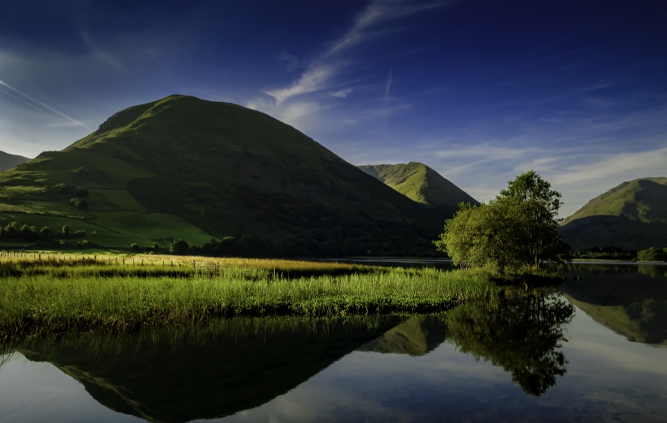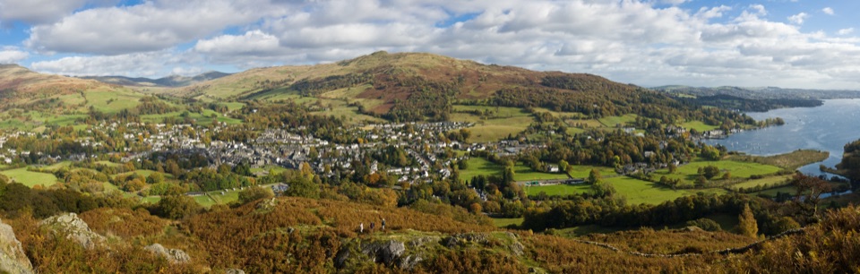
Grey Crag, Harrop Pike and Tarn Crag in Lake District National Park

Lake District National Park, EN

Grey Crag, Harrop Pike and Tarn Crag

Four summit tops and a boggy, quiet sweep above Longsleddale

Photo: Wikimedia Commons
Length
11.3km
Time
4.5hr
Elev. change
451m
Difficulty
Moderate
  • Loop
  • Dogs allowed
  • High point 660 m

Hear the audio tour

Sadgill: Grey Crag and Tarn Crag

Overview

About Grey Crag, Harrop Pike and Tarn Crag

Why go

  • Four summit tops in one quiet circuit
  • Big views up Longsleddale and across the eastern fells

Heads up

  • Boggy ground across the high traverse
  • Small parking area and a narrow approach road
  • Rough gully and faint navigation in mist

Map & elevation

The route

Loading the Lake District map
Full map
Elevation209–660 m
TrailheadGrey Crag, Harrop Pike and Tarn Crag54.44429, -2.79787
Keep this map with you offline in the Parkwolf app

Plan your hike

Before you go

Parking

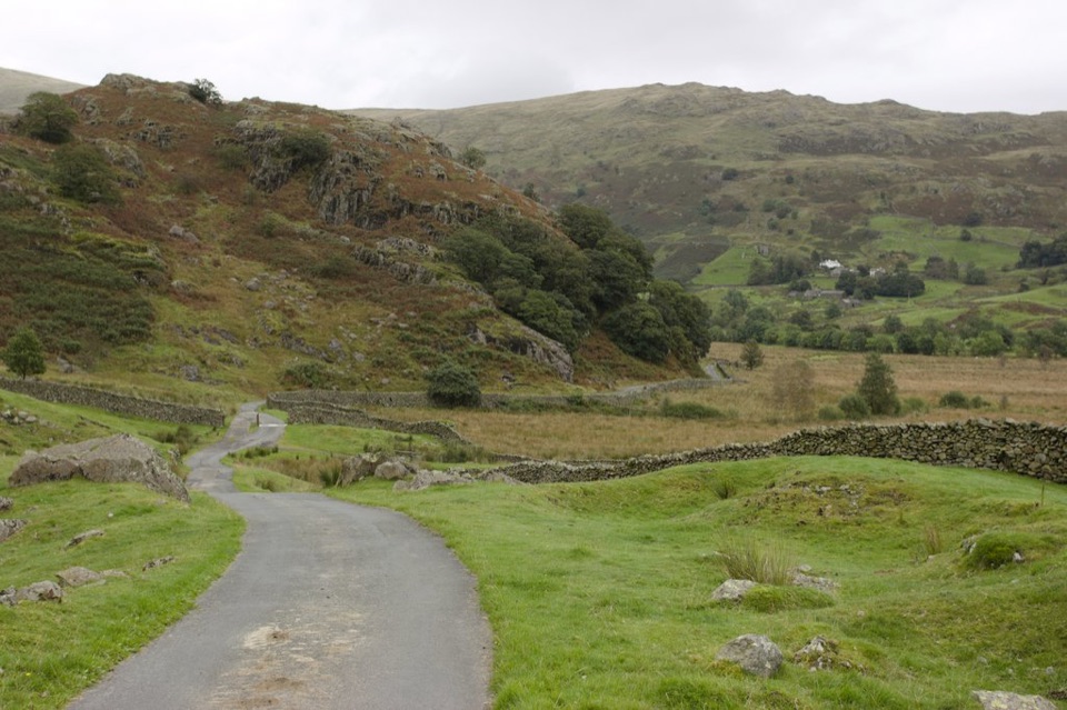
Use the informal pull-in east of the bridge at Sadgill, where the tarmac road ends and Gatescarth Pass begins. It holds only around half a dozen cars spread along the rough track. The final approach through Longsleddale is narrow with few passing places. Do not block the bridge, track, gates, or residents' access.


Best time to go

Allow about 4 to 5 hours with stops. The climb out of Sadgill is sustained, and the rough gully, boggy traverse, peat hags, and open-fell navigation make this a solid 6/10 hike even though none of the individual summits is technically difficult. The ground between Grey Crag and Harrop Pike can be very wet, while the crossing by Greycrag Tarn is often firmer but should not be assumed dry. In mist, the path becomes hard to pick out. Low-angle morning or late-day light brings out the texture in the cairns, bracken, and peat, but the summits are exposed to wind and fast-changing mountain weather.

Safety

The climb through the gully is steep and rough. The high traverse has boggy ground, peat hags, and a faint path that becomes difficult to follow in mist. The open summits are exposed, and the crossing around Greycrag Tarn can be wet. Keep dogs on a short lead around livestock and during the seasonal open-access restriction.

8 active Lake District alerts

  • ClosureChapel Stile footpath closed for retaining-wall riskPart of Footpath 543030 between Chapel Stile and Baysbrown campsite is closed because a retaining wall beside the path could collapse and material it supports could fall across the footpath.Official details
  • ClosureStanley Ghyll Lower Falls footpath closed for rockfallThe section of Footpath 408037 leading towards Stanley Ghyll Lower Falls is closed because severe rockfall damage has made the path unstable and further rockfall remains a danger.Official details
See all 8 alerts
A park ranger sits on a dash-mounted phone, talking, as Parkwolf’s Tour Guide plays “Army Cutworm Moths: A Grizzly Bear Buffet” on Grand Loop Road below Dunraven Pass in Yellowstone
Parkwolf Tour GuideThe highest, rockiest slopes around here are a summer buffet for grizzly bears.

Lake District Tour Guide

Your drive to Grey Crag, Harrop Pike and Tarn Crag, narrated.

Parkwolf is a GPS audio tour guide for Lake District National Park. As you drive, it chimes in with what’s ahead: hidden gems, upcoming stops, history, geology, and wildlife, right through your car’s speakers.

Recorded for this trailhead

Sadgill: Grey Crag and Tarn Crag
0:00 / 1:03
“Sadgill is coming up, at the head of Longsleddale and the start of a quiet fell circuit over Grey Crag, Harrop Pike and Tarn Crag. The full loop is seven miles, so allow four to five hours for the walking and stops.”

Plays as you drive up to this trailhead in the Parkwolf Lake District Tour Guide.

More stories near here in the app

  • Kentmere: Valley Walk or Horseshoe
  • Goosanders: Peering Below the Surface
  • Haweswater and Mardale Head
  • Kentmere: The Lake That Came Back
  • 298 audio storiesacross Lake District’s roads, triggered by GPS as you drive
  • Wildlife heatmapsfor Red Deer, Eurasian Otter, Osprey, and 13 more
  • Works offlinemaps, 265 trails, 89 places, and audio download before you lose signal
  • CarPlay readysimple controls built for the drive
★★★★★
“Fantastic app with many points of information… It’s great to just turn on while you’re driving and it gives you an audio tour of the national Park. We love it!!!!”
JMJamesApp Store review
Download Parkwolf on the App StoreGet Parkwolf on Google Play

4.7 from 8,600+ ratings

Trail guide

Hiking Grey Crag, Harrop Pike and Tarn Crag

The routeThis is a 7.0-mile (11.3 km) loop from Sadgill.

This is a 7.0-mile (11.3 km) loop from Sadgill. The stored distance is the complete loop, not an out-and-back. Start beside the bridge, pass through the gate into the field, and climb through bracken and a rough gully to Great Howe. Continue beside the wall and fence to Grey Crag, make the short boggy detour to Harrop Pike, then return to the fence and cross the ground around Greycrag Tarn to Tarn Crag. From there, descend by the fence through peat hags to the top of the Mosedale to Longsleddale pass, turn onto Gatescarth Pass, and follow the track back to Sadgill.

What it feels likeThis is a remote fell walk rather than a manicured trail.

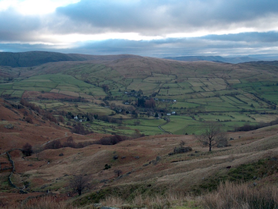
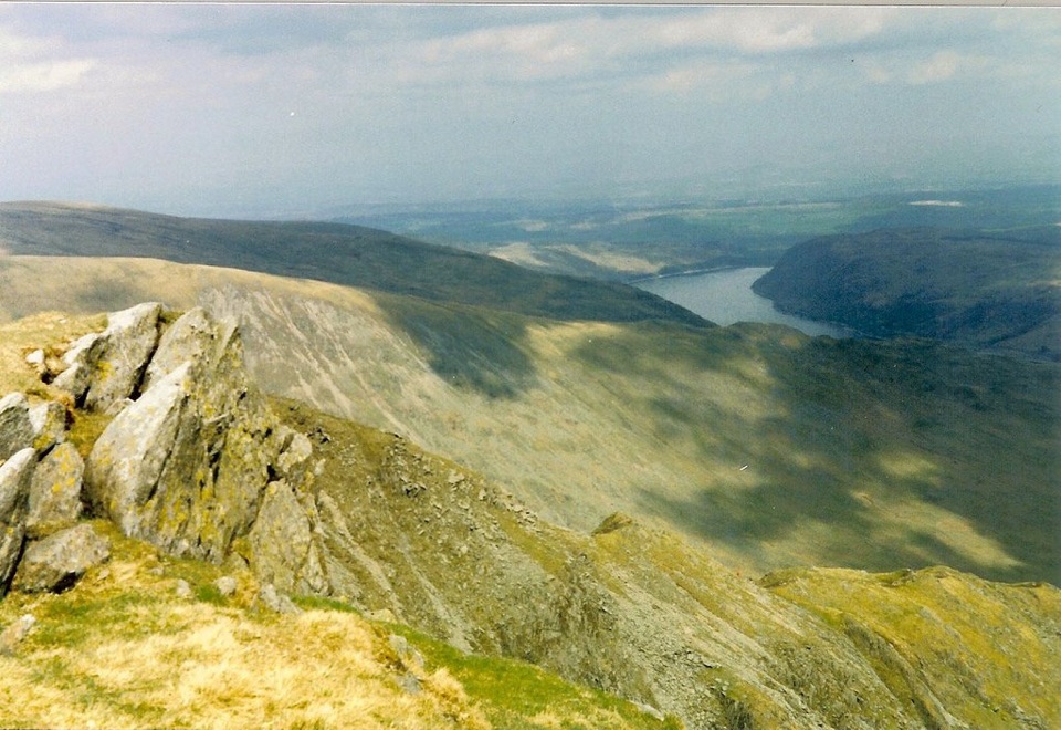
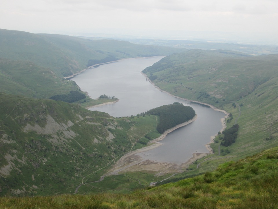
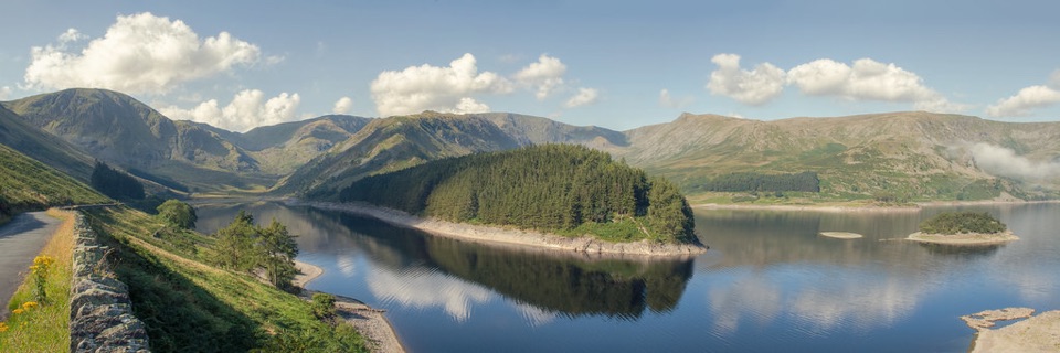
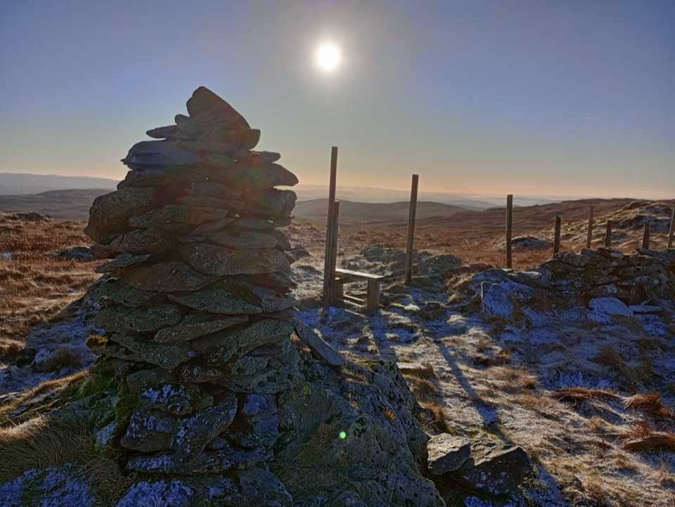
This is a remote fell walk rather than a manicured trail. The lower climb is grassy and steep in places, with shoulder-high summer bracken and a rough rocky gully. Higher up, the surface becomes open peat moorland with short stretches of firmer grass around the summit cairns. The main payoffs are the changing views along Longsleddale, the broad eastern fell country, and the three distinct summit stops. A tall survey pillar near Tarn Crag is a reminder of the 1930s waterworks built around Haweswater. The high ground also makes a useful landscape transition: peatier eastern moors give way to the rockier fells farther west.

Access and dogsSadgill sits at the end of a narrow approach through Longsleddale.

Sadgill sits at the end of a narrow approach through Longsleddale. Dogs may use the route, but this is not an off-lead walk: keep them under close control around livestock, and on a lead no longer than two metres on open access land from 1 March to 31 July. The same short-lead rule applies around livestock at any time. For a different experience nearby, the lower Longsleddale valley walk is gentler and greener, while this circuit is the better choice for summit views and quiet open fell.

Wildlife

Wildlife in Lake District

All Lake District wildlife maps

Sighting maps show where each species has been reported across Lake District. Wildlife moves, so no sighting is guaranteed.

Keep exploring

Near Grey Crag, Harrop Pike and Tarn Crag

See it all on the map

Trails that start nearby

Places near the trailhead

Parkwolf’s Lake District ranking

Top-rated trails in Lake District

All 265 trails
  1. 1Scafell Pike via Hollow Stones from WasdaleChallenging · 9 km
  2. 2Helvellyn via Striding Edge and Swirral EdgeChallenging · 12.4 km
  3. 3CatbellsModerate · 6.6 km
  4. 4The Old Man of ConistonChallenging · 9 km
  5. 5Buttermere CircularEasy · 7.6 km
  6. 6The Fairfield HorseshoeChallenging · 17.2 km

Take Parkwolf to Lake District.

The audio tour guide for the drive, plus offline maps, trails, and wildlife heatmaps for when the signal drops.

4.7 from 8,600+ ratings

Download Parkwolf on the App StoreGet Parkwolf on Google Play