West Windermere Way in Lake District National Park

Lake District National Park, EN

West Windermere Way

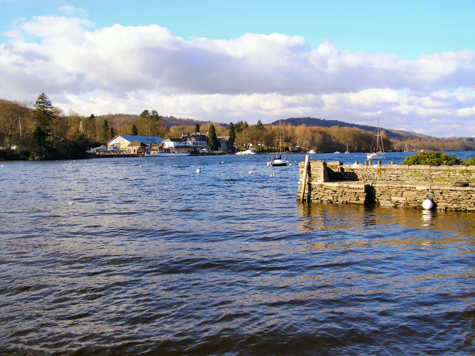
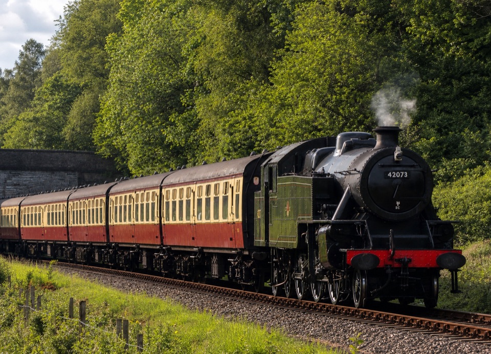
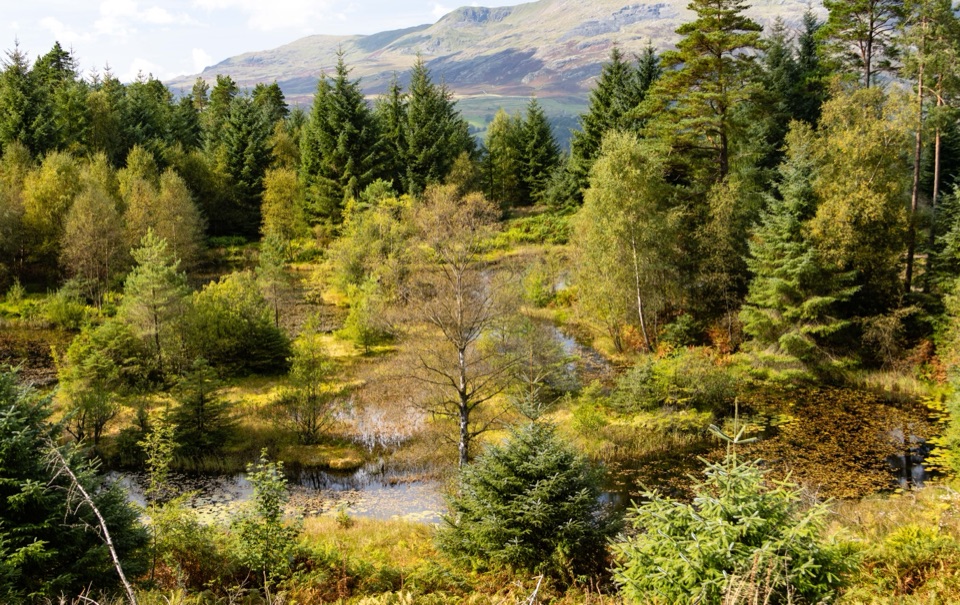
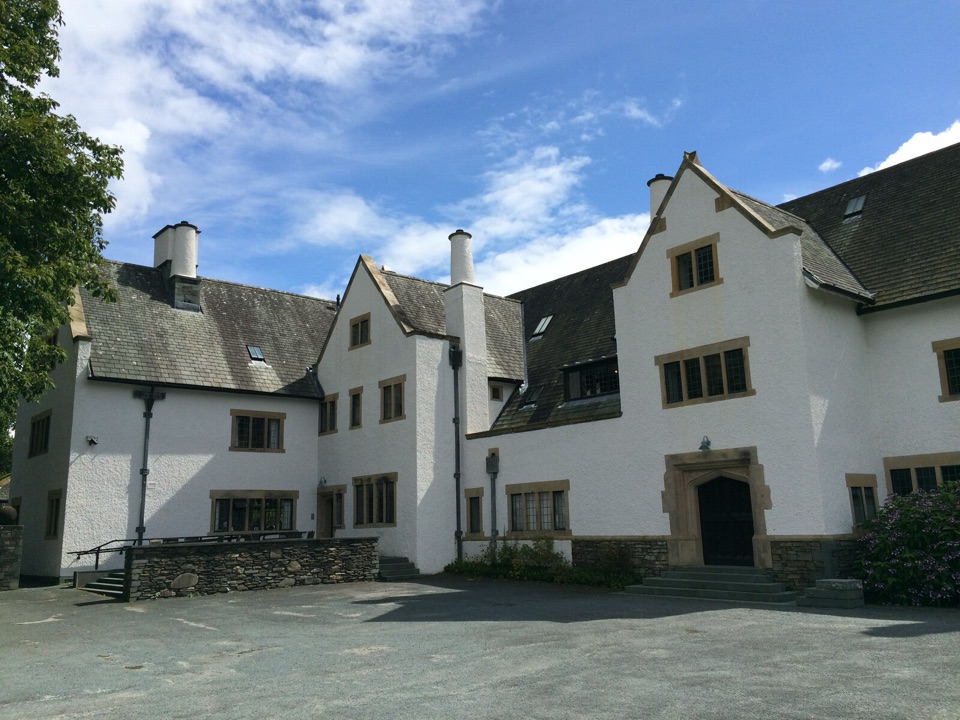
A short route blending lakeshore, railway, woodland, and fell views

Photo: Wikimedia Commons
Length
5.9km
Time
2.5hr
Elev. change
55m
Difficulty
Moderate
  • Dogs allowed
  • High point 97 m
  • #85 of 265 in Lake District

Hear the audio tour

Newby Bridge: West Windermere Way

Overview

About West Windermere Way

This is a 3.65-mile (5.58 km) point-to-point walk from Newby Bridge to YMCA Lakeside, via Lakeside Ferry Terminal and Finsthwaite. Allow about 2.5 hours. It is a one-way route, so plan how you will get back from the finish.

Why go

  • River, lake, woodland, railway, and fell scenery in one route
  • Useful public transport and boat connections at the ends

Heads up

  • Point-to-point logistics need a planned return
  • Short road sections and steeper gravel slow the easy-looking route

Map & elevation

The route

Loading the Lake District map
Full map
Elevation42–97 m
TrailheadWest Windermere Way54.26918, -2.97004
Keep this map with you offline in the Parkwolf app

Plan your hike

Before you go

Parking

Lakeside car park is the most useful parking base for this point-to-point route, beside the ferry terminal. To start from Newby Bridge, use the bus stop or Newby Bridge Halt and join near the Swan Hotel, then arrange transport back from YMCA Lakeside.

Safety

Traffic uses short, narrow road sections around Lakeside and Finsthwaite. Expect uneven gravel, boardwalk, gates, and steeper gradients, including sections around 1 in 6. The whole route is not a uniformly accessible path. Keep dogs close and on a short lead around livestock and horses.

8 active Lake District alerts

  • ClosureChapel Stile footpath closed for retaining-wall riskPart of Footpath 543030 between Chapel Stile and Baysbrown campsite is closed because a retaining wall beside the path could collapse and material it supports could fall across the footpath.Official details
  • ClosureStanley Ghyll Lower Falls footpath closed for rockfallThe section of Footpath 408037 leading towards Stanley Ghyll Lower Falls is closed because severe rockfall damage has made the path unstable and further rockfall remains a danger.Official details
See all 8 alerts
A park ranger sits on a dash-mounted phone, talking, as Parkwolf’s Tour Guide plays “Army Cutworm Moths: A Grizzly Bear Buffet” on Grand Loop Road below Dunraven Pass in Yellowstone
Parkwolf Tour GuideThe highest, rockiest slopes around here are a summer buffet for grizzly bears.

Lake District Tour Guide

Your drive to West Windermere Way, narrated.

Parkwolf is a GPS audio tour guide for Lake District National Park. As you drive, it chimes in with what’s ahead: hidden gems, upcoming stops, history, geology, and wildlife, right through your car’s speakers.

Recorded for this trailhead

Newby Bridge: West Windermere Way
0:00 / 0:57
“Newby Bridge is coming up, where you can join the West Windermere Way for a walk beside the river and into the woods.”

Plays as you drive up to this trailhead in the Parkwolf Lake District Tour Guide.

More stories near here in the app

  • Red Squirrels: Ready for Winter
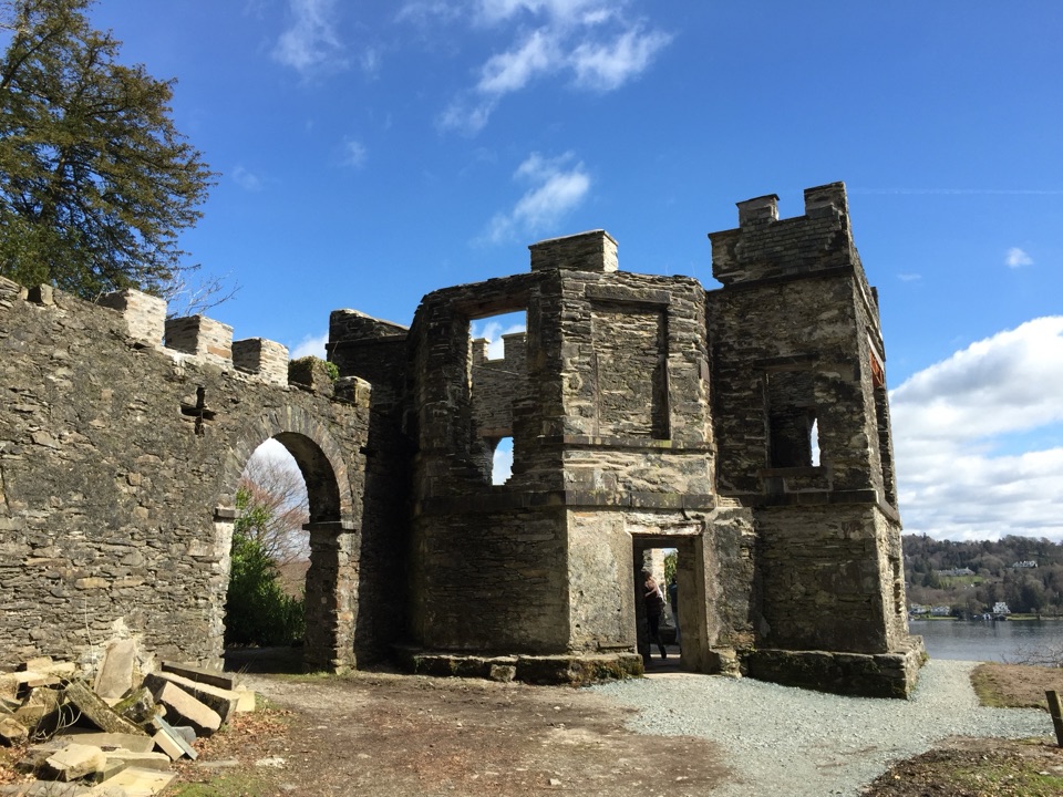
  • Finsthwaite: Woodland and the Tower
  • Fell Foot: Boathouses and Lakeshore
  • Gummer's How: A Short Summit Walk
  • 298 audio storiesacross Lake District’s roads, triggered by GPS as you drive
  • Wildlife heatmapsfor Red Deer, Eurasian Otter, Osprey, and 13 more
  • Works offlinemaps, 265 trails, 89 places, and audio download before you lose signal
  • CarPlay readysimple controls built for the drive
★★★★★
“Fantastic app with many points of information… It’s great to just turn on while you’re driving and it gives you an audio tour of the national Park. We love it!!!!”
JMJamesApp Store review
Download Parkwolf on the App StoreGet Parkwolf on Google Play

4.7 from 8,600+ ratings

Trail guide

Hiking West Windermere Way

The routeStart near the Swan Hotel and Newby Bridge bus stop, then follow the River Leven through open…

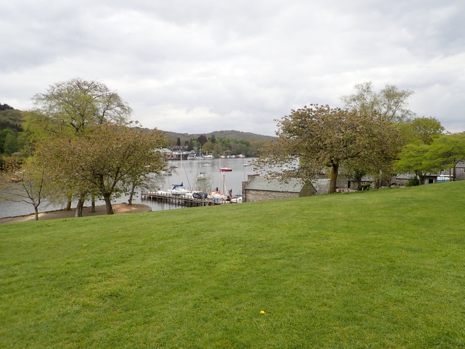
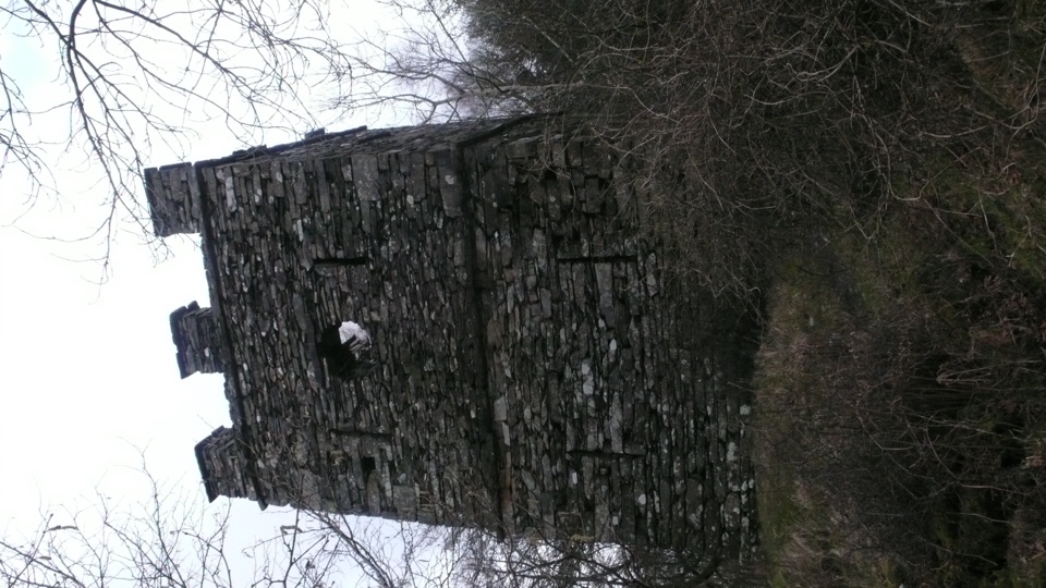
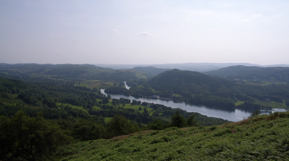
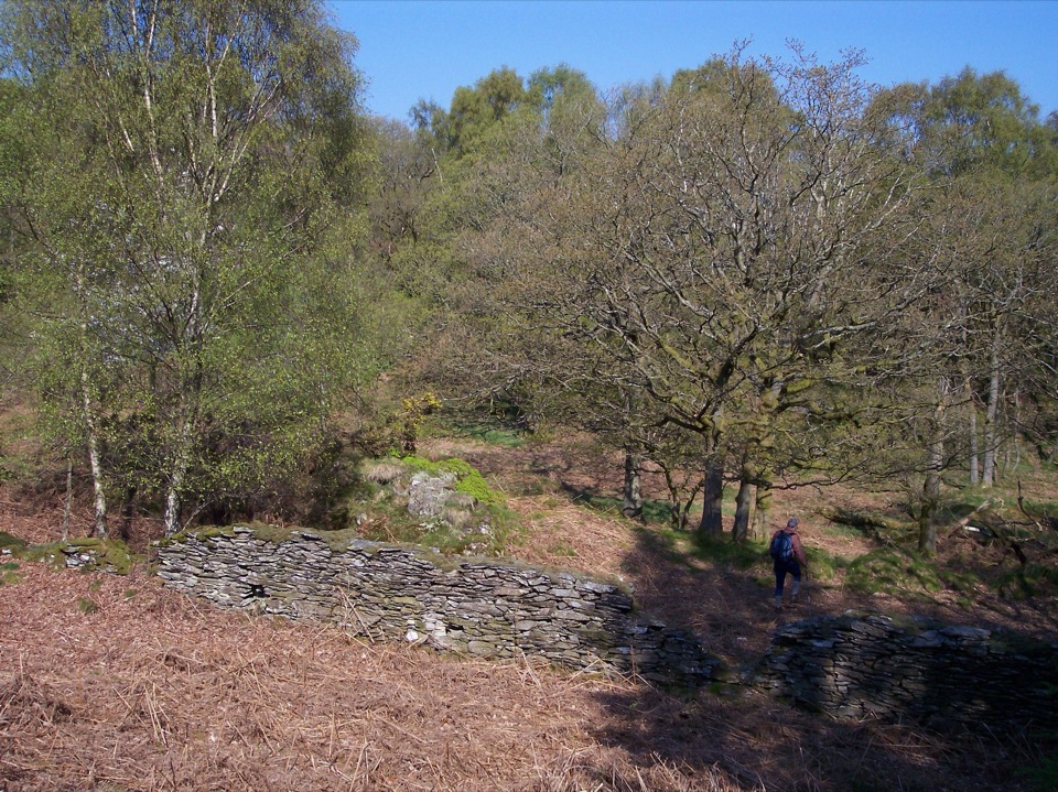
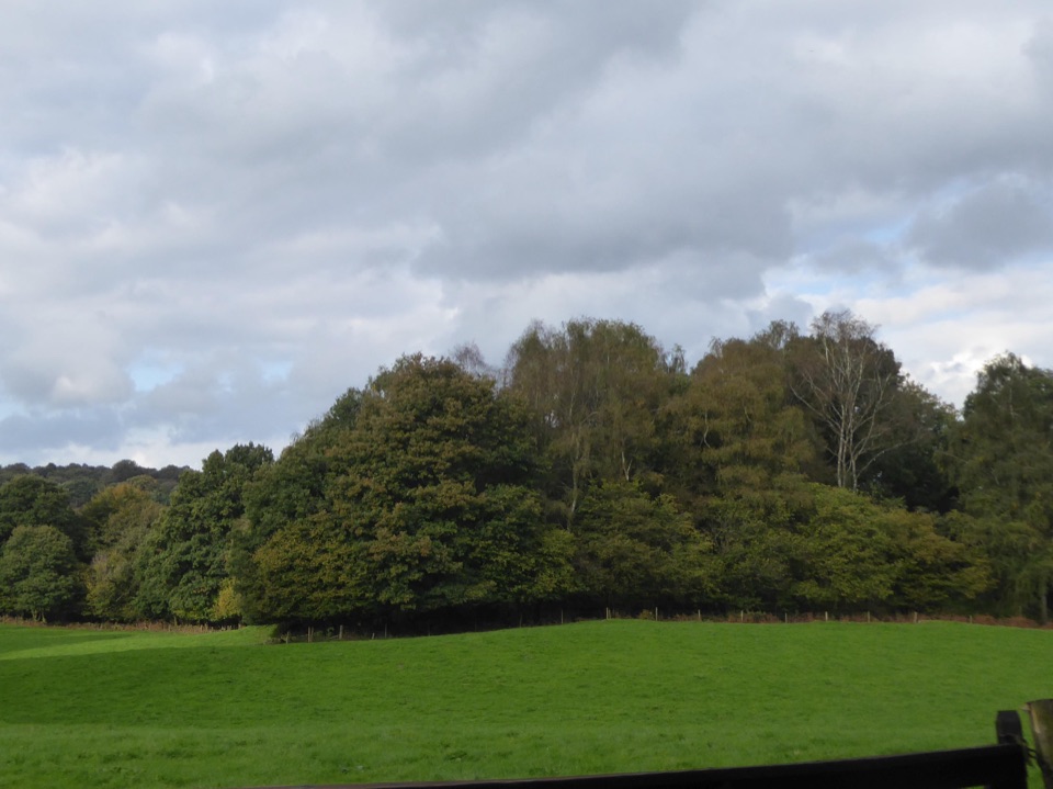
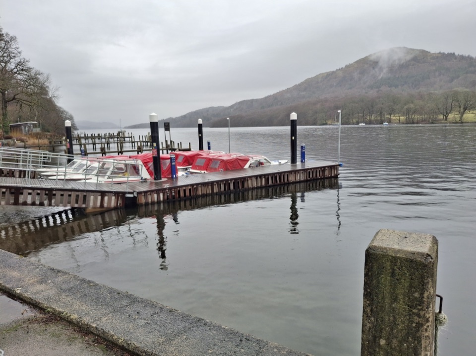
Start near the Swan Hotel and Newby Bridge bus stop, then follow the River Leven through open parkland and along the southern end of Windermere. The route reaches Lakeside Ferry Terminal and runs beside the heritage railway before turning through woodland towards Finsthwaite. From there it passes Stott Park Bobbin Mill and Black Hole Wood, then continues through plantations and fields to the lakeshore at YMCA Lakeside.

What it feels likeThis is a varied, low-level walk rather than a flat promenade.

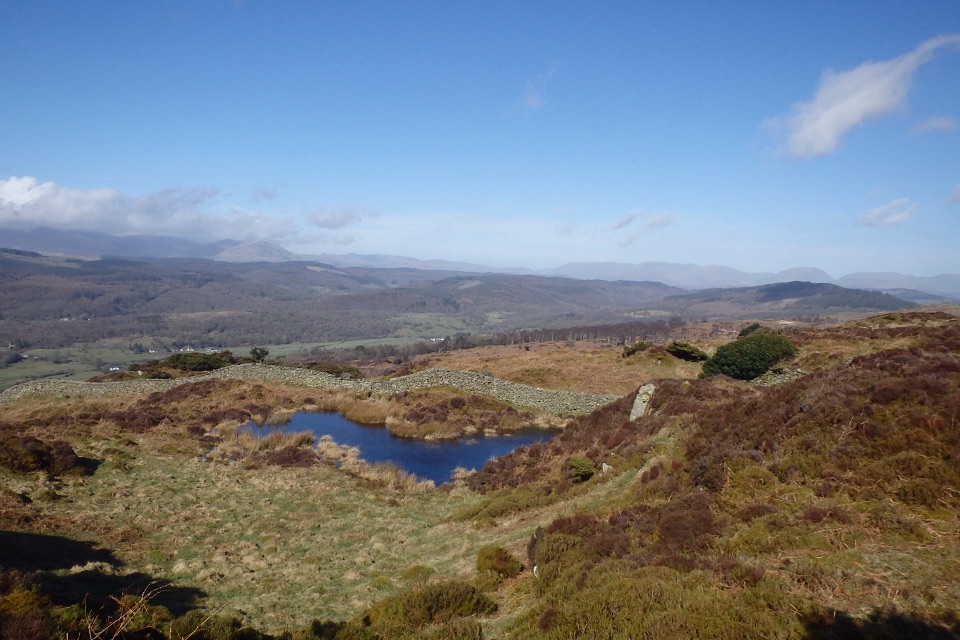
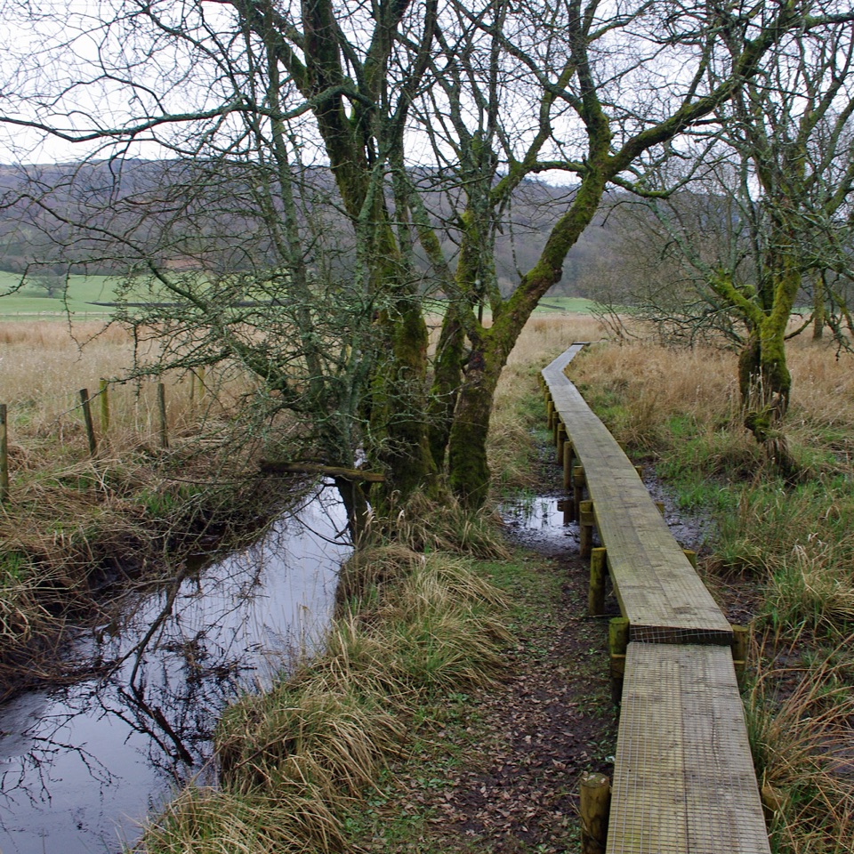
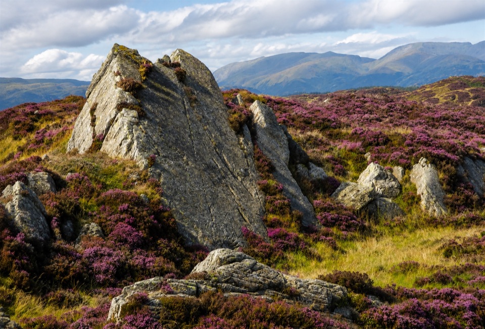
This is a varied, low-level walk rather than a flat promenade. Expect compacted gravel, rougher paths, short boardwalk sections, tarmac, and quiet roads, with a few steeper gravel gradients. Reed beds, the River Leven, Windermere, Gummer's How, wooded hills, and the railway keep changing the view. Red squirrels are associated with the quiet woods, and bats can be active around the water and trees at dusk. About 4.5 km is suitable for many walkers, while roughly 1.5 km is more demanding; the full route is not uniformly suitable for wheelchairs or pushchairs.

Planning and dogsSpring through autumn gives the most useful daylight and usually the easiest conditions for the…

Spring through autumn gives the most useful daylight and usually the easiest conditions for the mixed surfaces. The route works well as a car-free outing because Newby Bridge and Lakeside have bus, rail, and boat connections, but check the return plan before setting out. Dogs may use the route, but keep them under close control and on a short lead around livestock, horses, and other path users.

Wildlife

Wildlife in Lake District

All Lake District wildlife maps

Sighting maps show where each species has been reported across Lake District. Wildlife moves, so no sighting is guaranteed.

Keep exploring

Near West Windermere Way

See it all on the map

Trails that start nearby

Places near the trailhead

Parkwolf’s Lake District ranking

Top-rated trails in Lake District

All 265 trails
  1. 1Scafell Pike via Hollow Stones from WasdaleChallenging · 9 km
  2. 2Helvellyn via Striding Edge and Swirral EdgeChallenging · 12.4 km
  3. 3CatbellsModerate · 6.6 km
  4. 4The Old Man of ConistonChallenging · 9 km
  5. 5Buttermere CircularEasy · 7.6 km
  6. 6The Fairfield HorseshoeChallenging · 17.2 km

Take Parkwolf to Lake District.

The audio tour guide for the drive, plus offline maps, trails, and wildlife heatmaps for when the signal drops.

4.7 from 8,600+ ratings

Download Parkwolf on the App StoreGet Parkwolf on Google Play