Parking
Use the Rogers Spring Parking Lot at the end of Rogers Spring Road, off Northshore Road. The walk starts at the lot above the picnic area and spring.
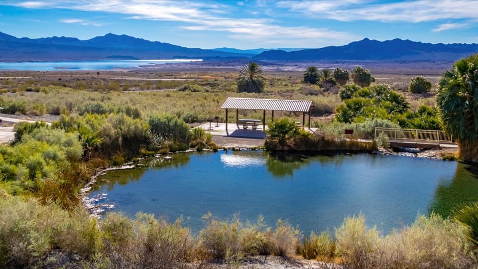
Lake Mead National Recreation Area, AZ · NV
A pocket spring oasis just off Northshore Road.
Overview
Map & elevation
Plan your hike

The highest, rockiest slopes around here are a summer buffet for grizzly bears.
Lake Mead Tour Guide
Parkwolf is a GPS audio tour guide for Lake Mead National Recreation Area. As you drive, it chimes in with what’s ahead: hidden gems, upcoming stops, history, geology, and wildlife, right through your car’s speakers.
See the Lake Mead audio tourRecorded for this trailhead
Rogers Spring: A Desert Oasis“Rogers Spring is coming up, a small pocket of palms and reeds at the foot of the Muddy Mountains. A short side road brings you to parking, with paved paths down to the shallow pool and picnic tables nearby.”
Plays as you drive up to this trailhead in the Parkwolf Lake Mead Tour Guide.
More stories near here in the app
“Fantastic app with many points of information… It’s great to just turn on while you’re driving and it gives you an audio tour of the national Park. We love it!!!!”


Trail guide
Rogers Warm Spring Loop is a brief paved circuit from the Rogers Spring parking lot to the spring pool and back around the picnic paths. The best-supported connected route from the lot measures about 0.11 miles and is nearly level. One published figure gives 0.2 miles, but the National Park Service map does not draw the full route; treat the exact distance and loop edge as approximate. Allow around 30 minutes if you want to linger. This is an easy spring-side stop, separate from the longer uphill route toward Rogers Spring Overlook.
Two approaches lead down from the parking area: a paved accessible walk and a stair route. The short mapped circuit follows connected hard-surface paths beside the pool and returns to the lot. A bridge crosses the spring outflow; use-trails continue into the desert beyond the dike, outside this short loop. The spring emerges from a hillside cave into a shallow pool about 50 feet across, edged with cattails, saltcedar, shrubs and palms. For a photo, stand along the paved edge and frame the pool with the palm oasis and picnic shelter behind it.
Rogers is one of Lake Mead's high-priority springs because of its size and concentration of unusual aquatic life. Relict leopard frogs live at several park springs, though a sighting here is never guaranteed. The spring's riparian strip attracts birds and dragonflies, and desert bighorn sometimes visit for water in summer. The California fan palms are non-native to this part of the Mojave.
The picnic area has four tables, four grills and restrooms, but no drinking water or food service. Bring water and plan for desert heat even on this short walk. Pets are allowed on park trails; keep them leashed to six feet or less. If you enter the spring, keep your head above water or plug your nose because of the rare but serious Naegleria fowleri risk, and follow posted warnings.
Wildlife
 525 sightingsBighorn SheepMost seen around 5 PMSighting map
 116 sightingsBurroMost seen around 7 PMSighting map
 18 sightingsBald EagleMost seen around 4 PMSighting map
 99 sightingsWhite PelicanMost seen around 7 AMSighting map
 145 sightingsGreat Blue HeronMost seen around 7 AMSighting map
 106 sightingsTurkey VultureMost seen around noonSighting map
Sighting maps show where each species has been reported across Lake Mead. Wildlife moves, so no sighting is guaranteed.
Keep exploring
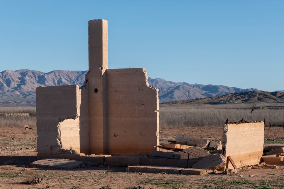 ModerateSt. Thomas Trail2.1 mi · 2 hr · 7.1 mi awayTrace old streets across the floor of a former lake.
 ChallengingCleopatra Wash Trail5.9 mi · 4 hr · 9.9 mi awayA volcanic wash narrows, then opens onto Lake Mead.
 EasyRedstone Trail0.6 mi · 1 hr · 10.2 mi awayA short loop beside ancient dunes turned to stone.
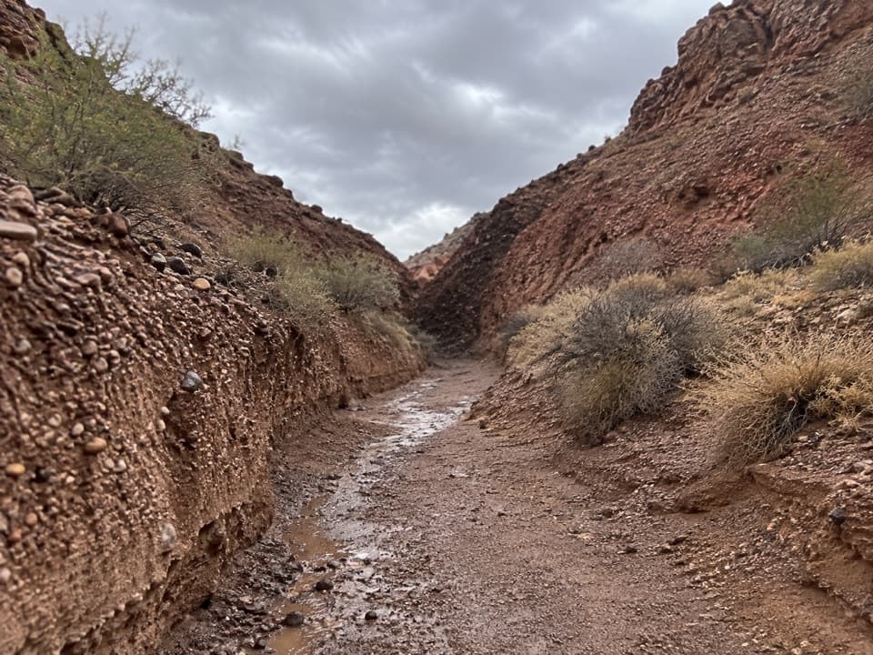 ModeratePinto Valley Route10.8 mi · 5 hr · 10.7 mi awayA 10.8-mile one-way crossing through washes, old roads, and gypsum hills.
 ModerateMiners Cove Wash Trail3.1 mi · 2.5 hr · 11.2 mi awayFollow a rocky wash to a high view over Lake Mead.
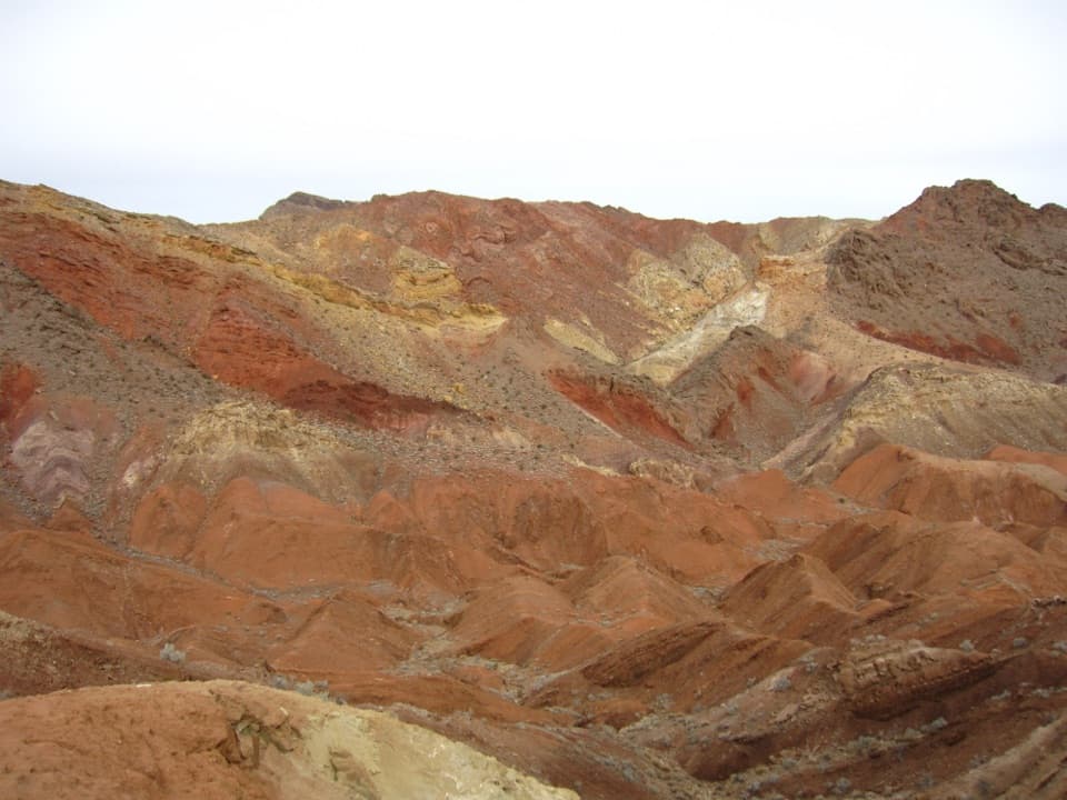 ModerateRazorback Wash South Trail6.3 mi · 5 hr · 13.1 mi awayA remote traverse through red, yellow and green mud hills.
 ModerateRazorback Wash North Trail5.4 mi · 3.5 hr · 13.5 mi awayA 5.4-mile wash traverse with a short climb and car shuttle.
 ChallengingNorthshore Peak East Ridge Route2.6 mi · 3 hr · 14.4 mi awayA short, exposed ridge scramble to fossil coral and lake views.
 Picnic area · 0.1 mi awayRogers SpringA palm-fringed pool breaks up the desert drive.
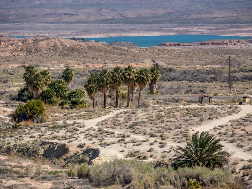 Sight · 1 mi awayBlue Point SpringA planted palm oasis with a failed canal and hatchery past.
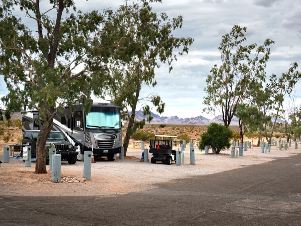 Campground · 4.7 mi awayEcho Bay RV VillageA 55-site full-hookup base at the lake’s north end.
 Campground · 4.8 mi awayEcho Bay CampgroundA remote, paved campground that suits an overnight by the water.
 Sight · 5.2 mi awayEcho BayA boat launch on Overton Arm with a small picnic stop nearby.
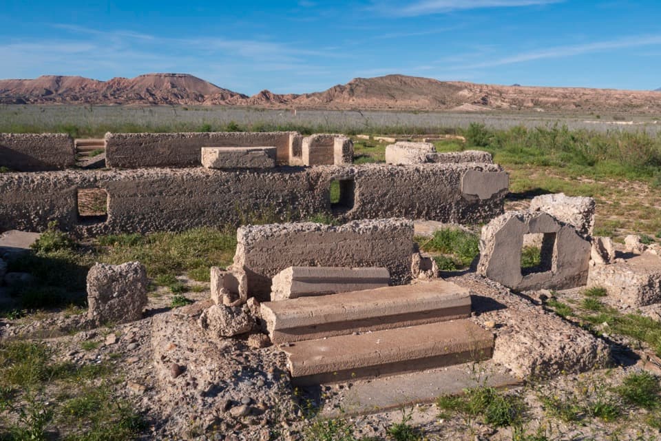 Sight · 7.3 mi awaySt. Thomas TownsiteWalk a ghost town that Lake Mead once swallowed
Parkwolf’s Lake Mead ranking

The audio tour guide for the drive, plus offline maps, trails, and wildlife heatmaps for when the signal drops.





