
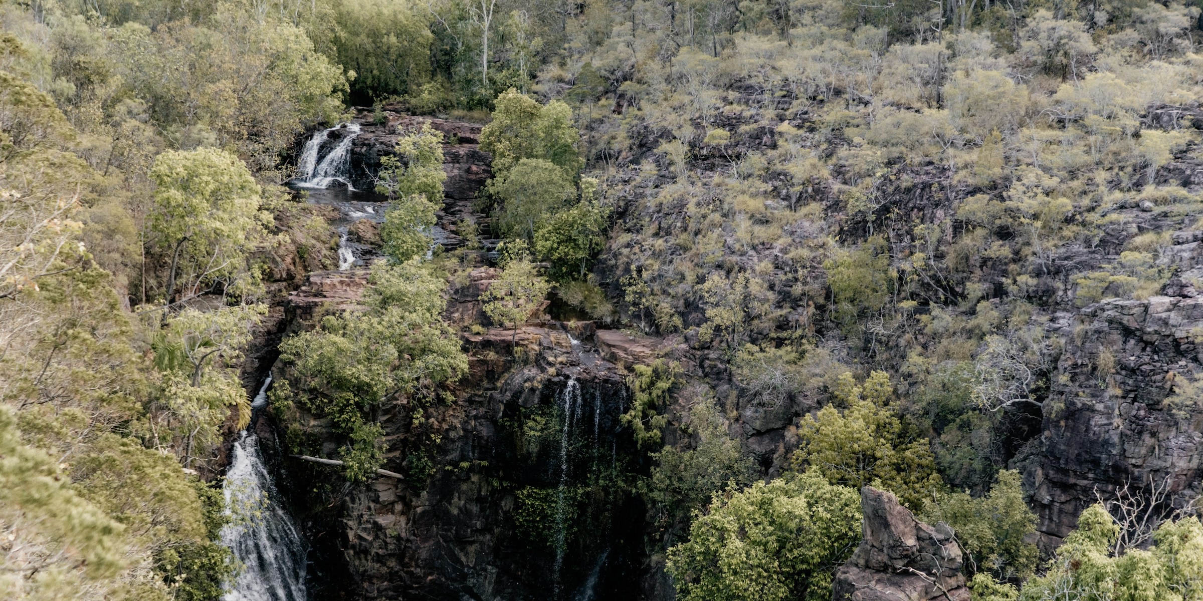
All Litchfield places
33 places
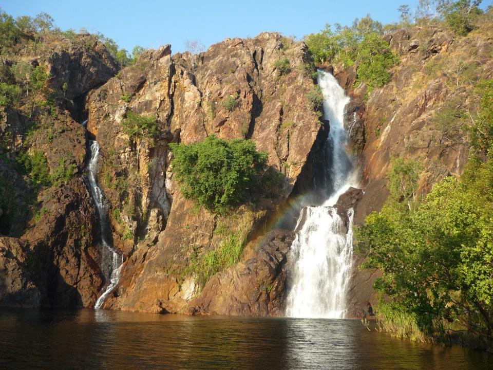 1Wangi FallsTwin falls into a deep swimming pool, minutes from the carpark
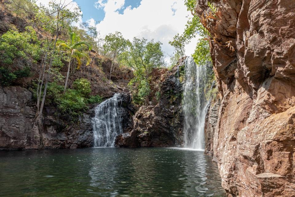 2Florence FallsSwim right up to the falls, 160 steps below the lookout
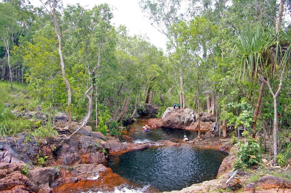 3Buley RockholeA staircase of rock pools and tumbling streams made for lounging
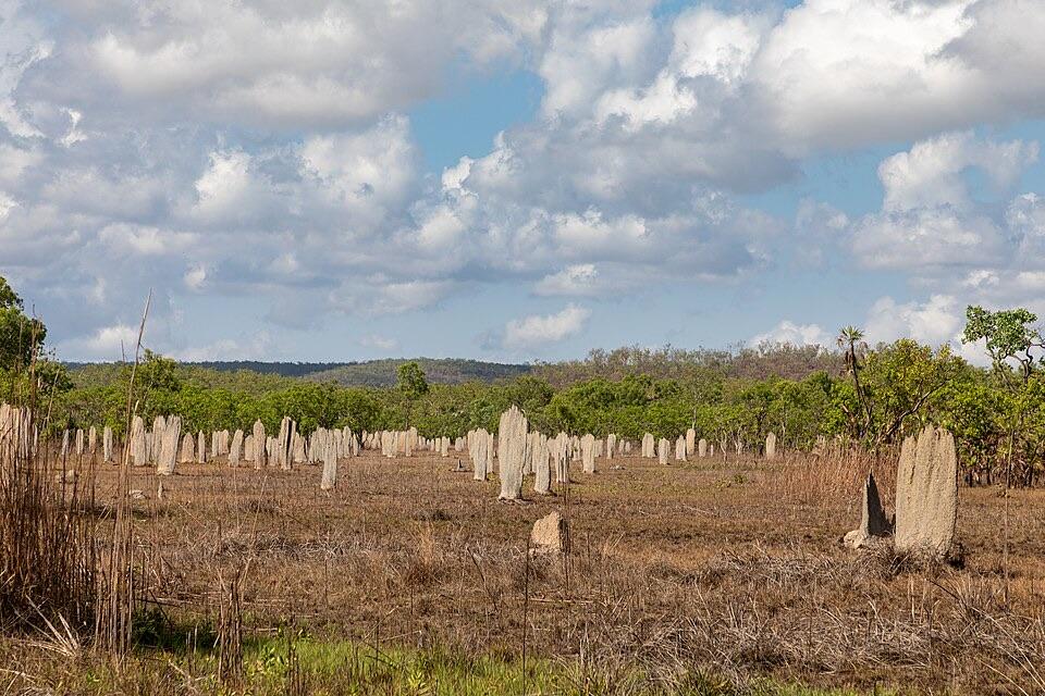 4Magnetic Termite MoundsHundreds of wedge-shaped mounds align north-south across a flood plain
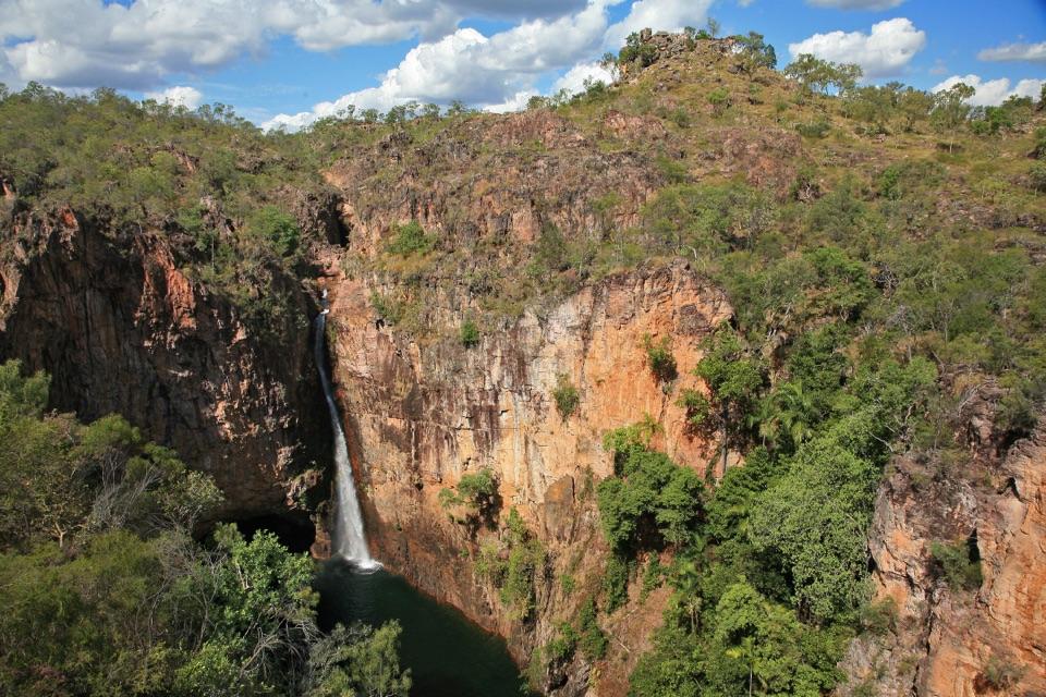 5Tolmer FallsTwin escarpments, one deep plunge pool, and a short sealed path
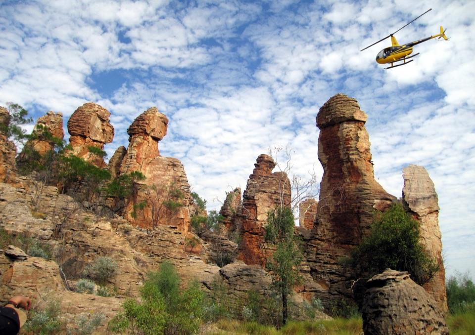 6The Lost CityTowering sandstone blocks like ruined city streets, reached only by 4WD
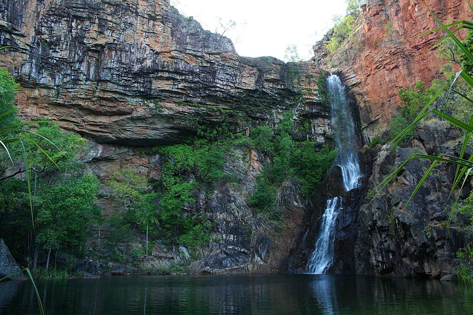 7Tjaynera Falls (Sandy Creek Falls)Deep plunge pool at the end of a 4WD-only creek walk
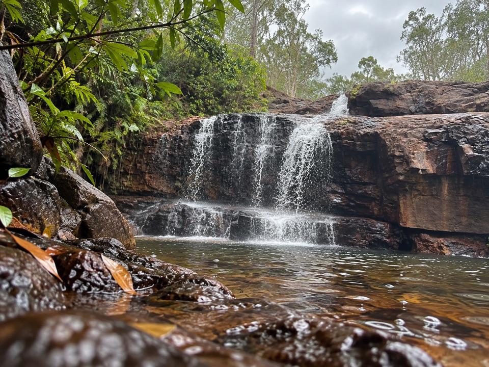 8CascadesEarn your swim: rock pools and plateau lookouts on rugged tracks
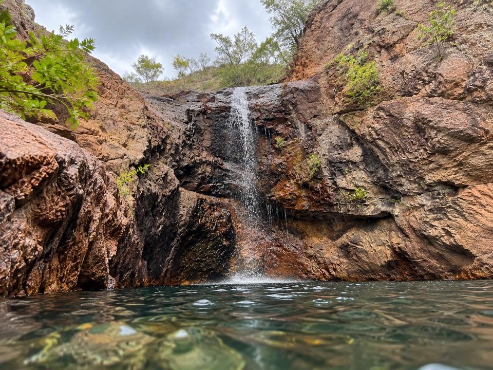 9Surprise Creek FallsTwin rock pools in a narrow rust-red gorge, 4WD access only
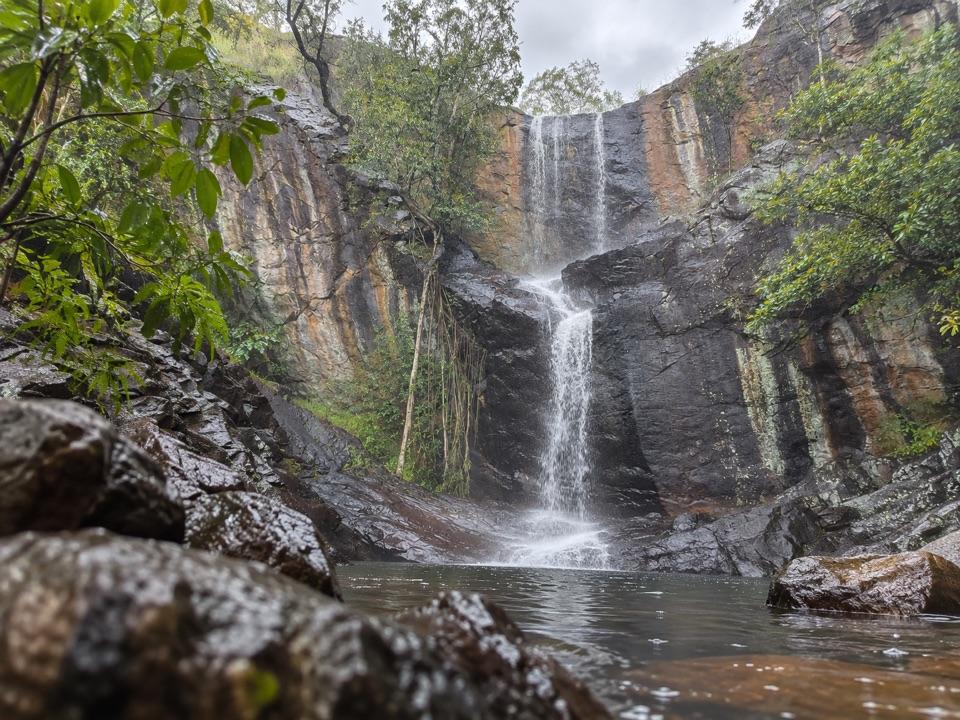 10Robin FallsA three-tier creek fall worth the Dorat Road side trip.
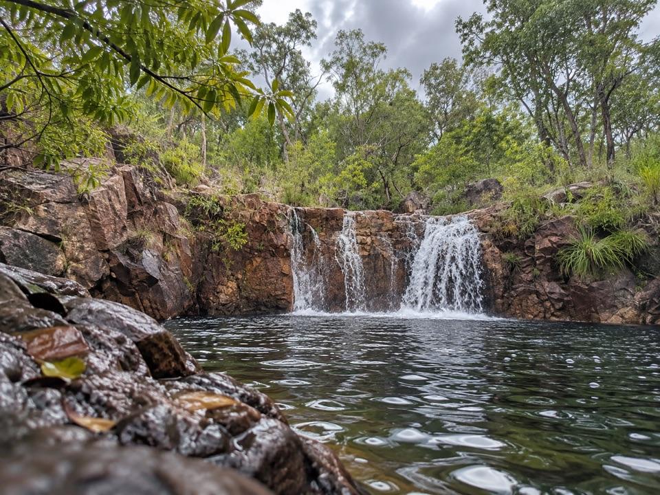 11Tjaetaba FallsShady creek walk climbing to a quiet rocky cascade
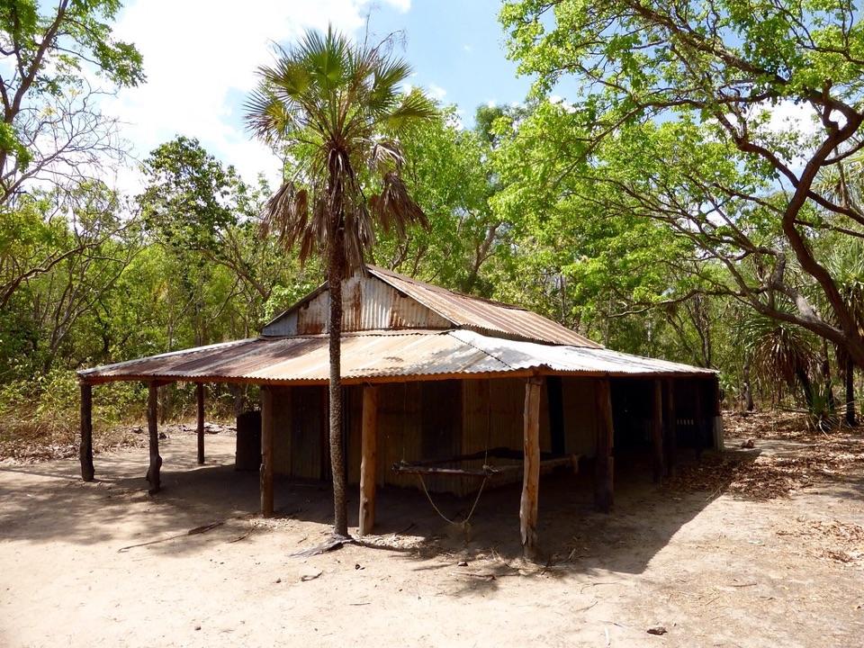 12Blyth HomesteadRestored 1928 pastoral homestead deep on the Reynolds River 4WD track
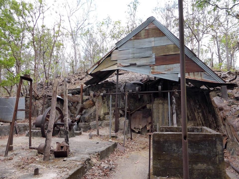 13Bamboo Creek Tin MineEarly tin workings and machinery on a short walk through the bush
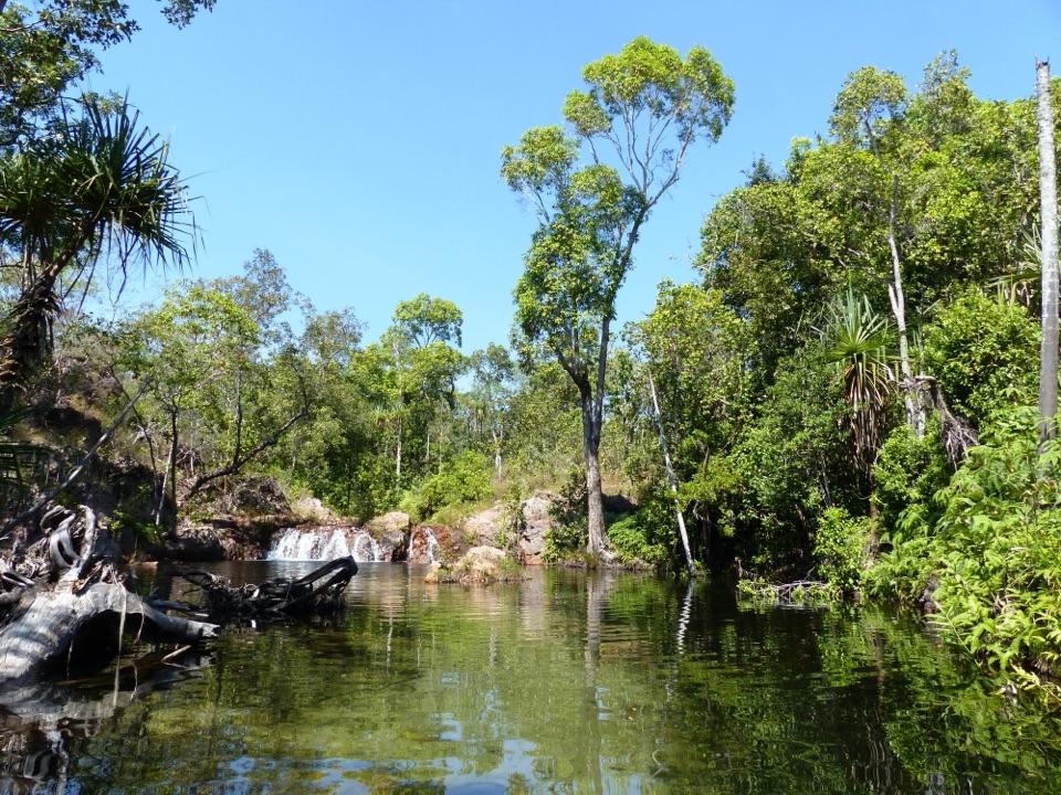 Walker CreekWalk-in creek camps, shallow cascades and clear pools to swim
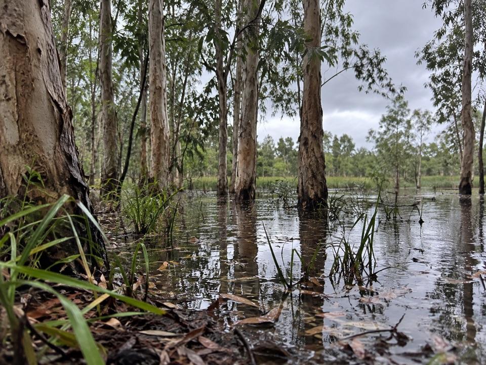 14Tabletop SwampA paperbark-fringed wetland for a quiet picnic and unhurried birdwatching
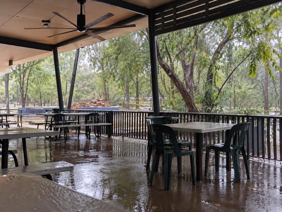 Wangi Falls CafeShaded open-air kiosk steps from the plunge pool, with cold drinks
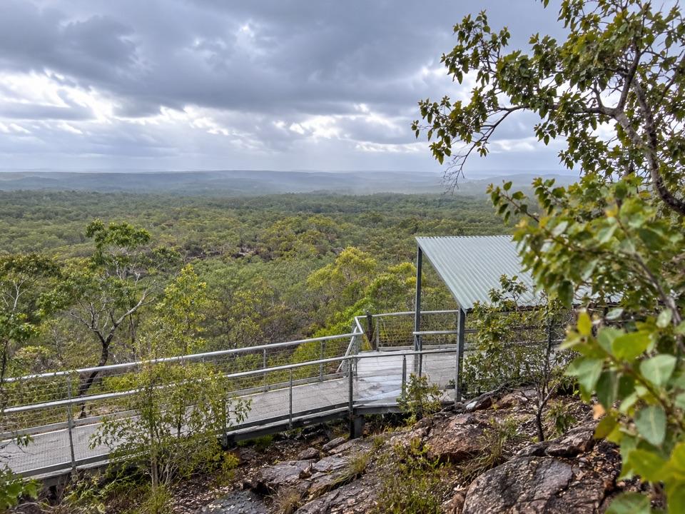 15Central Valley Escarpment LookoutRoofed platform above vast wooded savanna, rough 4WD access
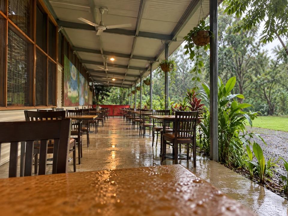 Litchfield CafeShady off-grid veranda stop for coffee, beer or a seated meal
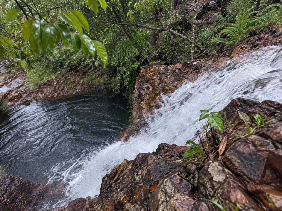 16Bine Jerak FallsA tucked-away cascade on the demanding Tabletop Track.Wangi Falls CampgroundDrive-in camping near Wangi Falls and its deep plunge pool
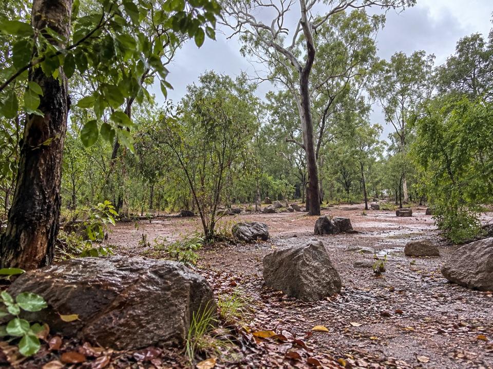 Florence Falls 2WD CampgroundCaravan-friendly camp with a walking track to Florence FallsFlorence Falls 4WD CampgroundCreekside camp with a walking track to Florence Falls
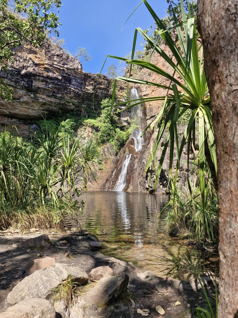 Tjaynera Falls Campground (Sandy Creek)Secluded 4WD bush camp with a paperbark walk to a plunge pool
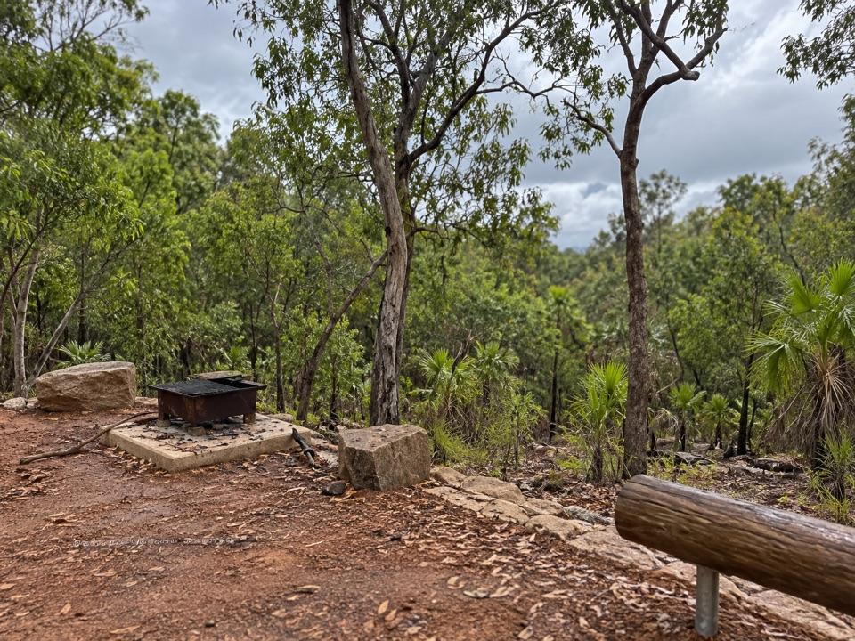 Central Valley Campground 1Key-access 4WD bush camping beside the East Reynolds River
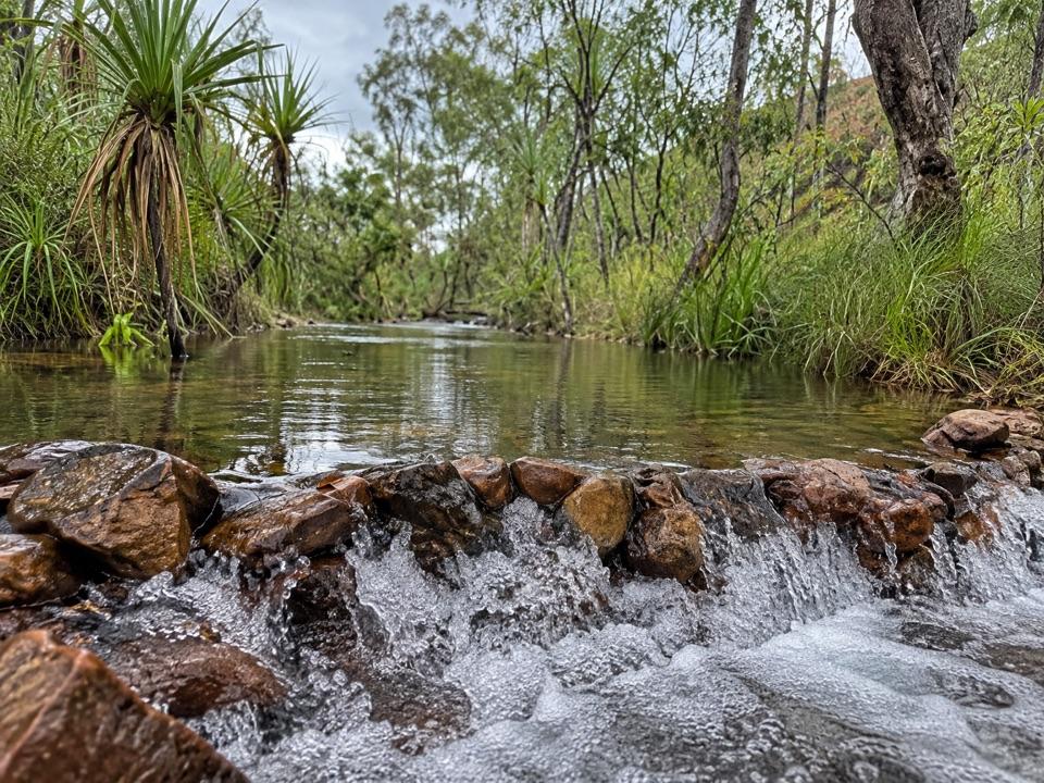 Central Valley Campground 2A remote riverside bush camp reached by high-clearance 4WD
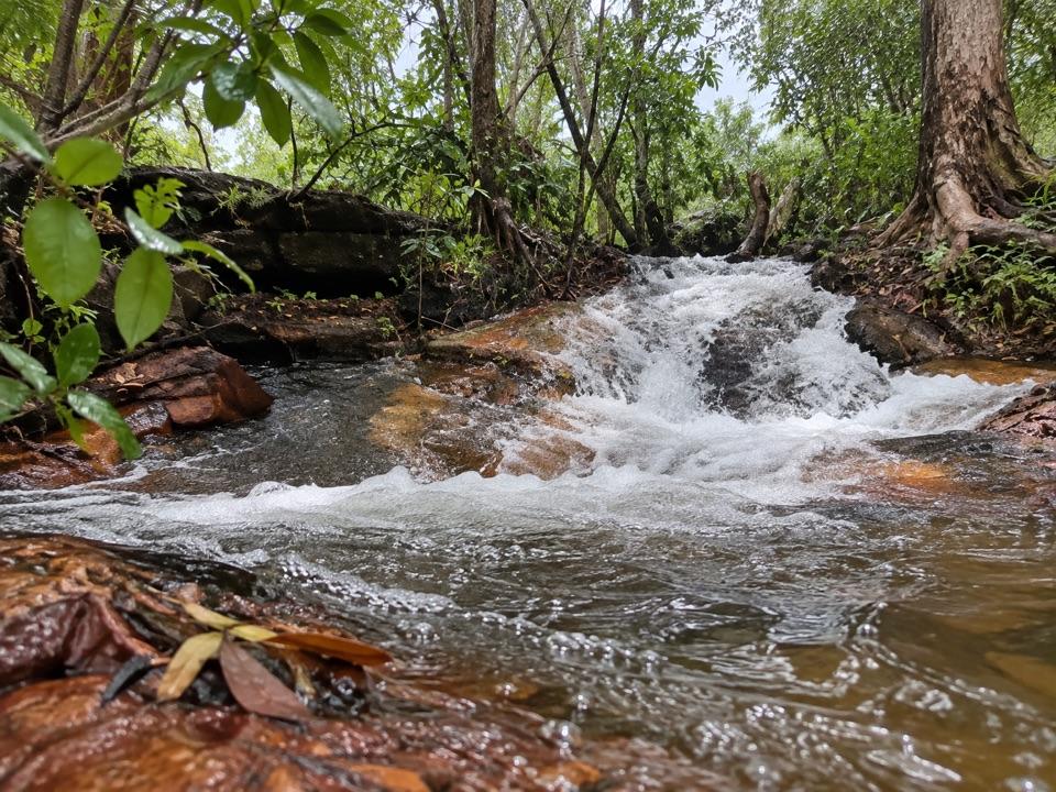 Central Valley Campground 3Secluded 4WD-only camping beside the East Reynolds RiverSurprise Creek CampgroundIsolated 4WD bush camping near red-rock waterfalls and swimming holes
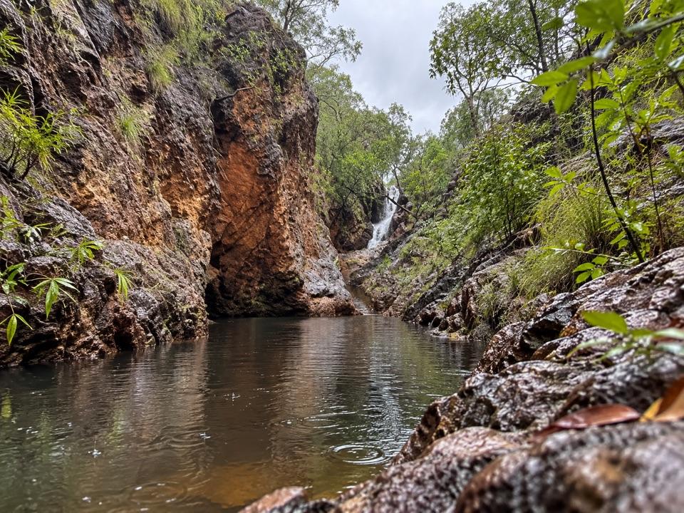 Tableland Creek (Sybel Springs)A remote walk-in camp above Tableland Creek’s rocky pools
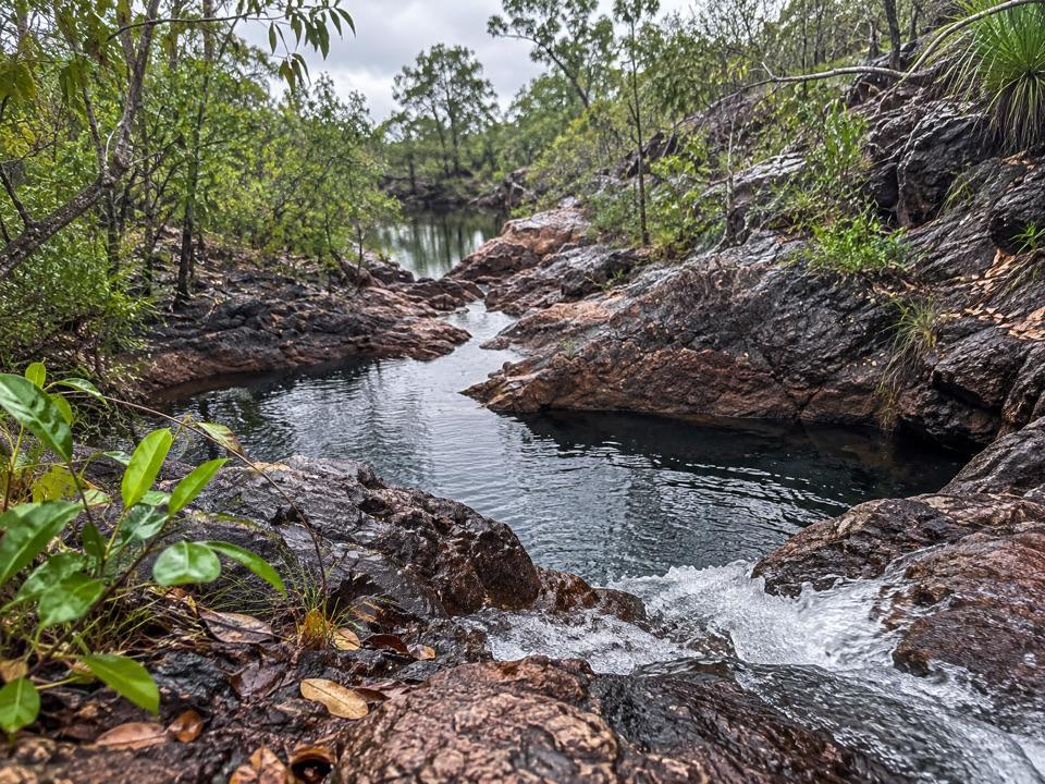 Tjenya Falls CampgroundDry-plateau walk-in camp beside a small cascade and rock pools
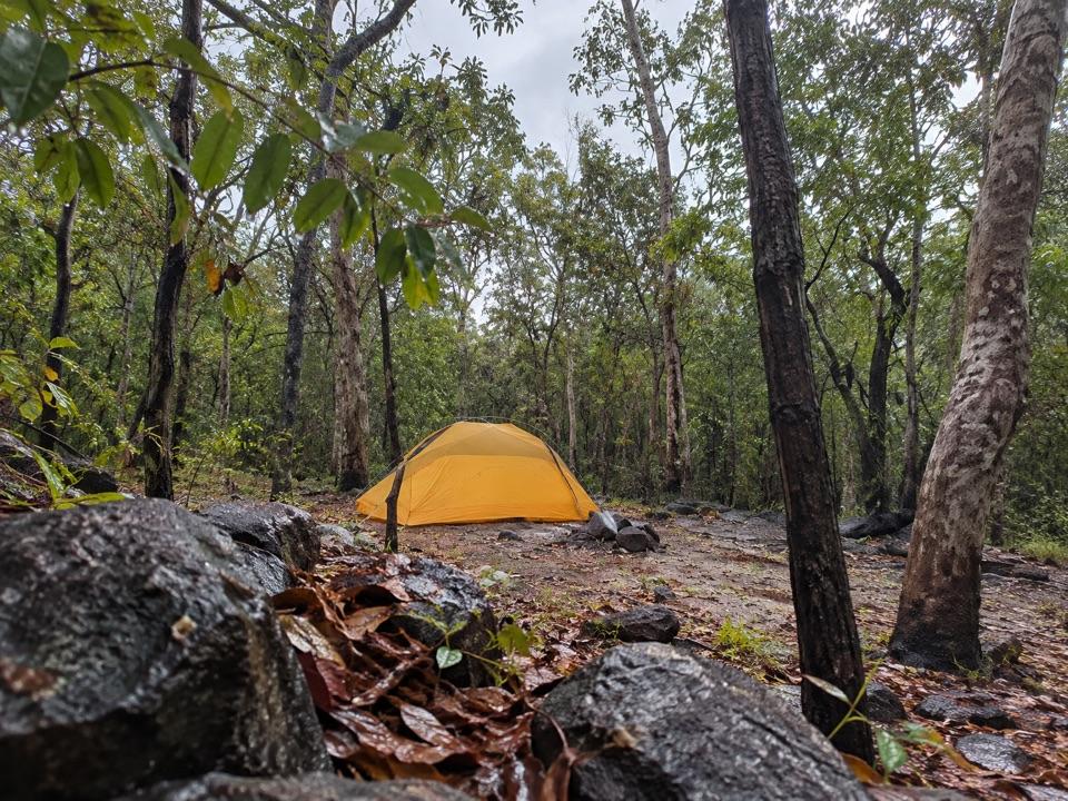 Southern Campground (Tabletop Track)A rugged woodland overnight stop on the Tabletop Track
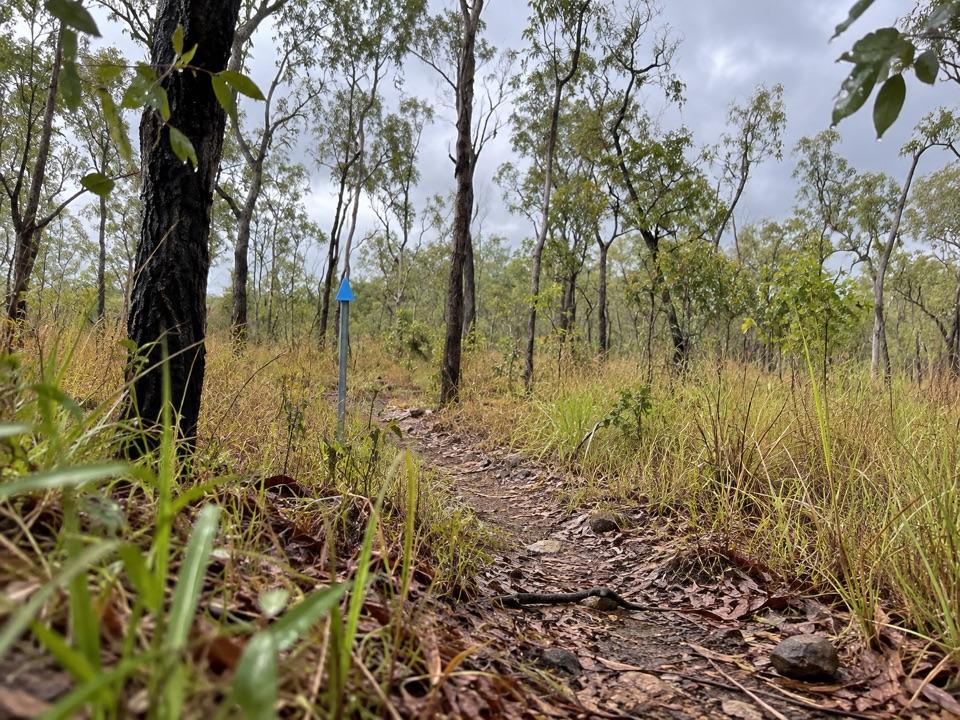 Northern Campground (Tabletop Track)A quiet overnight stop on the hot, waterless Tabletop circuit
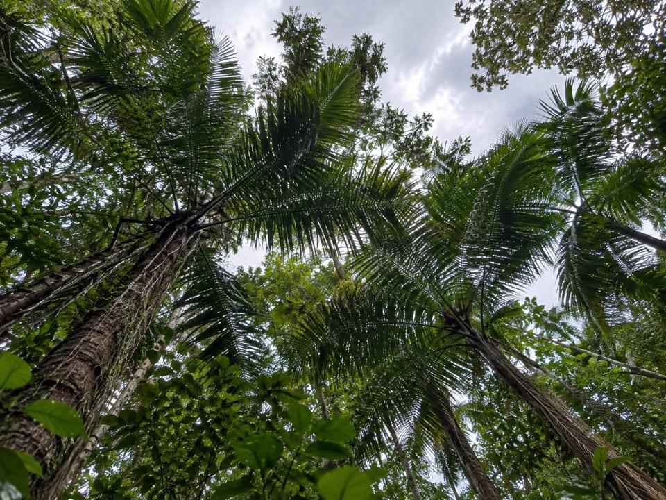 Greenant Creek Picnic AreaShady creekside start to a 2.7 km return walk and lookout
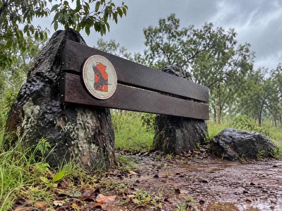 17Litchfield National Park Eastern Entrance SignA quick arrival photo on the road into the park

The highest, rockiest slopes around here are a summer buffet for grizzly bears.
Litchfield Tour Guide
Litchfield, narrated.
Parkwolf is a GPS audio tour guide for Litchfield National Park. As you drive, it chimes in with what’s ahead: hidden gems, upcoming stops, history, geology, and wildlife, right through your car’s speakers.
See the Litchfield audio tourRecorded for this place
Wangi Falls0:00 / 0:30
“You're coming up on Wangi Falls, where twin cascades drop into a broad pool edged by monsoon forest. The short paved approach and shady picnic lawn make this an easy place to spend a couple of hours.”
Plays as you drive up to Wangi Falls in the Parkwolf Litchfield Tour Guide.
More stories near here in the app
- The Goanna That Dives
- The Bird That Composts Its Eggs
- The Spitfire in the Bush
- Litchfield Cafe
- 68 audio storiesacross Litchfield’s roads, triggered by GPS as you drive
- Wildlife heatmapsfor Black Flying-fox, Rockhole Frog, Western Laughing Tree Frog, and 13 more
- Works offlinemaps, 18 trails, 33 places, and audio download before you lose signal
- CarPlay readysimple controls built for the drive
“Fantastic app with many points of information… It’s great to just turn on while you’re driving and it gives you an audio tour of the national Park. We love it!!!!”

