Tabletop Track Full Circuit in Litchfield National Park

Litchfield National Park, NT

Tabletop Track Full Circuit

A remote, rocky four-day loop through Litchfield creek country

Length
38.9km
Time
4days
Elev. change
114m
Difficulty
Challenging
  • Loop
  • No dogs
  • High point 215 m

Hear the audio tour

Tabletop Track from Florence Falls

Overview

About Tabletop Track Full Circuit

Why go

  • A changing route through creek forest, savanna and sandstone country
  • Tjenya Falls and Bine Jerak Falls are real on-route highlights

Heads up

  • Hot, exposed and steep Grade 4 stretches
  • Limited water, including none at Northern Campground

Map & elevation

The route

Loading the Litchfield map
Full map
Elevation101–215 m
TrailheadFlorence Falls Link Track junction-13.10097, 130.77616
Keep this map with you offline in the Parkwolf app

Plan your hike

Before you go

Parking

Use Florence Falls carpark, then follow the Florence Falls Link Track to the Tabletop circuit junction used as this map’s start. The mapped 39 km covers the main loop and excludes the access link. The circuit can also be joined from Wangi Falls or Walker Creek. Parking capacity and current fees were not verified.

Safety

Grade 4 and hard-going, with steep, hot and exposed sections. Water is limited in places; Northern Campground has none, and collected water needs treatment. Book designated campsites online in advance. Dogs are not permitted on the route.

3 active Litchfield alerts

  • ClosureTabletop Track closedMentions Tabletop Track, referenced in this guideThe Tabletop Track is closed because an Excess Heat Warning is in effect and there is no accessible drinking water. - Permit access only; do not plan an unpermitted walk on the track.Official details
  • CautionReynolds River Track: deep water crossingsThe Reynolds River Track is open to 4WDs only, but rough conditions and water crossings about 500–600 mm deep require care.Official details
See all 3 alerts
A park ranger sits on a dash-mounted phone, talking, as Parkwolf’s Tour Guide plays “Army Cutworm Moths: A Grizzly Bear Buffet” on Grand Loop Road below Dunraven Pass in Yellowstone
Parkwolf Tour GuideThe highest, rockiest slopes around here are a summer buffet for grizzly bears.

Litchfield Tour Guide

Your drive to Tabletop Track Full Circuit, narrated.

Parkwolf is a GPS audio tour guide for Litchfield National Park. As you drive, it chimes in with what’s ahead: hidden gems, upcoming stops, history, geology, and wildlife, right through your car’s speakers.

Recorded for this trailhead

Tabletop Track from Florence Falls
0:00 / 0:25
“You're approaching the Florence Falls access for the Tabletop Track; the walking route starts beyond the carpark.”

Plays as you drive up to this trailhead in the Parkwolf Litchfield Tour Guide.

More stories near here in the app

  • Florence Falls
  • The Pigeon That Crosses the Sea
  • Buley Rockhole
  • The Walk Between Two Swims
  • 68 audio storiesacross Litchfield’s roads, triggered by GPS as you drive
  • Works offlinemaps, 17 trails, 31 places, and audio download before you lose signal
  • CarPlay readysimple controls built for the drive
★★★★★
“Fantastic app with many points of information… It’s great to just turn on while you’re driving and it gives you an audio tour of the national Park. We love it!!!!”
JMJamesApp Store review
Download Parkwolf on the App StoreGet Parkwolf on Google Play

4.7 from 8,600+ ratings

Trail guide

Hiking Tabletop Track Full Circuit

A proper multi-day loopThe Tabletop Track Full Circuit is a roughly 39-kilometre (24-mile) loop around Tabletop Range…

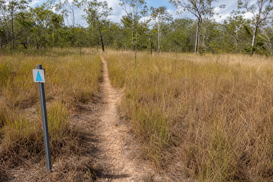
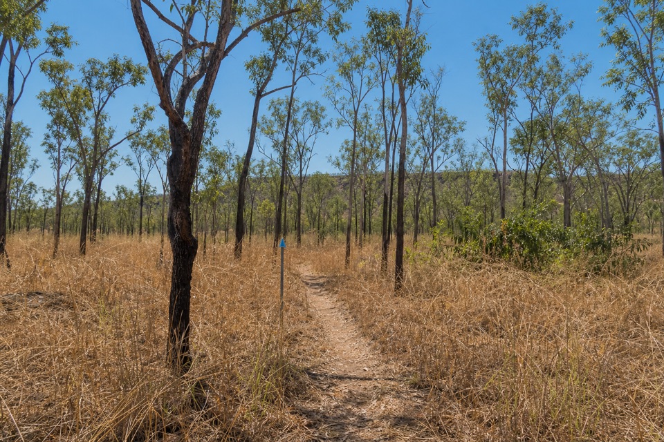
The Tabletop Track Full Circuit is a roughly 39-kilometre (24-mile) loop around Tabletop Range through savanna woodland, creek forest, rough sandstone country, pools and waterfalls. Give it about four days. This is a remote, grade 4 bushwalk with hot, exposed and steep stretches; it suits experienced walkers comfortable carrying camp gear, not anyone looking for a quick waterfall stroll. The loop starts and finishes at the Florence Falls Link Track junction in this map. It follows the Tabletop circuit itself; the access walk from a car park adds distance and is not part of the 39-kilometre figure.

Creek, woodland and sandstoneFrom Florence, the first long leg heads toward Wangi Falls alongside Wangi Creek, where…

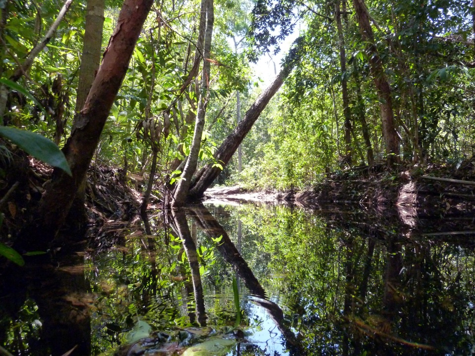
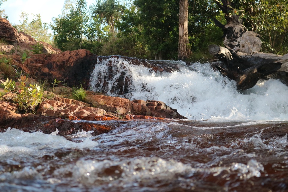
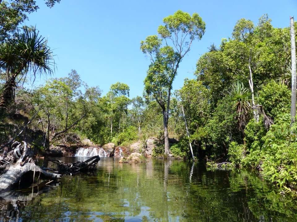
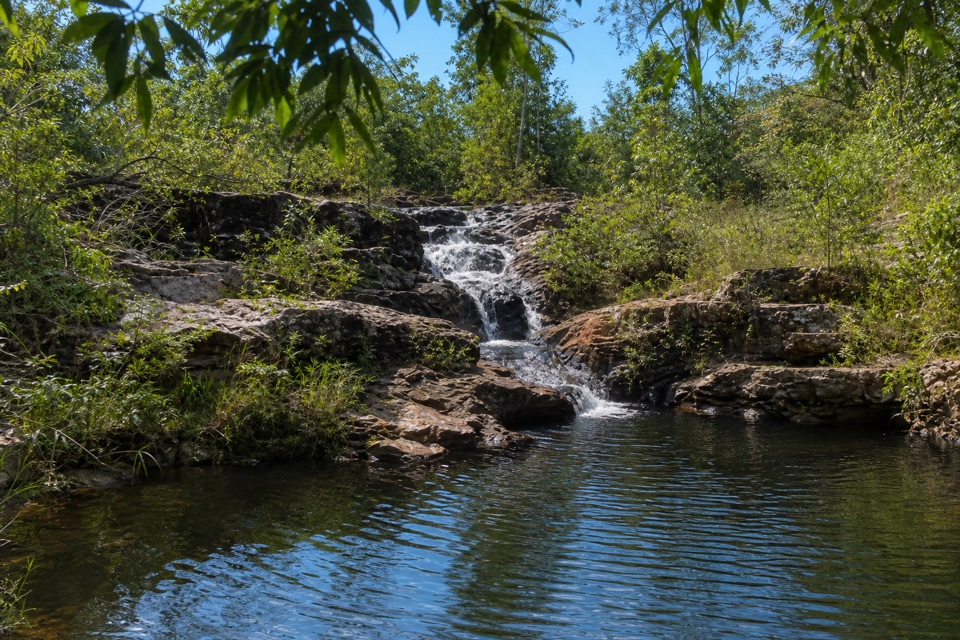
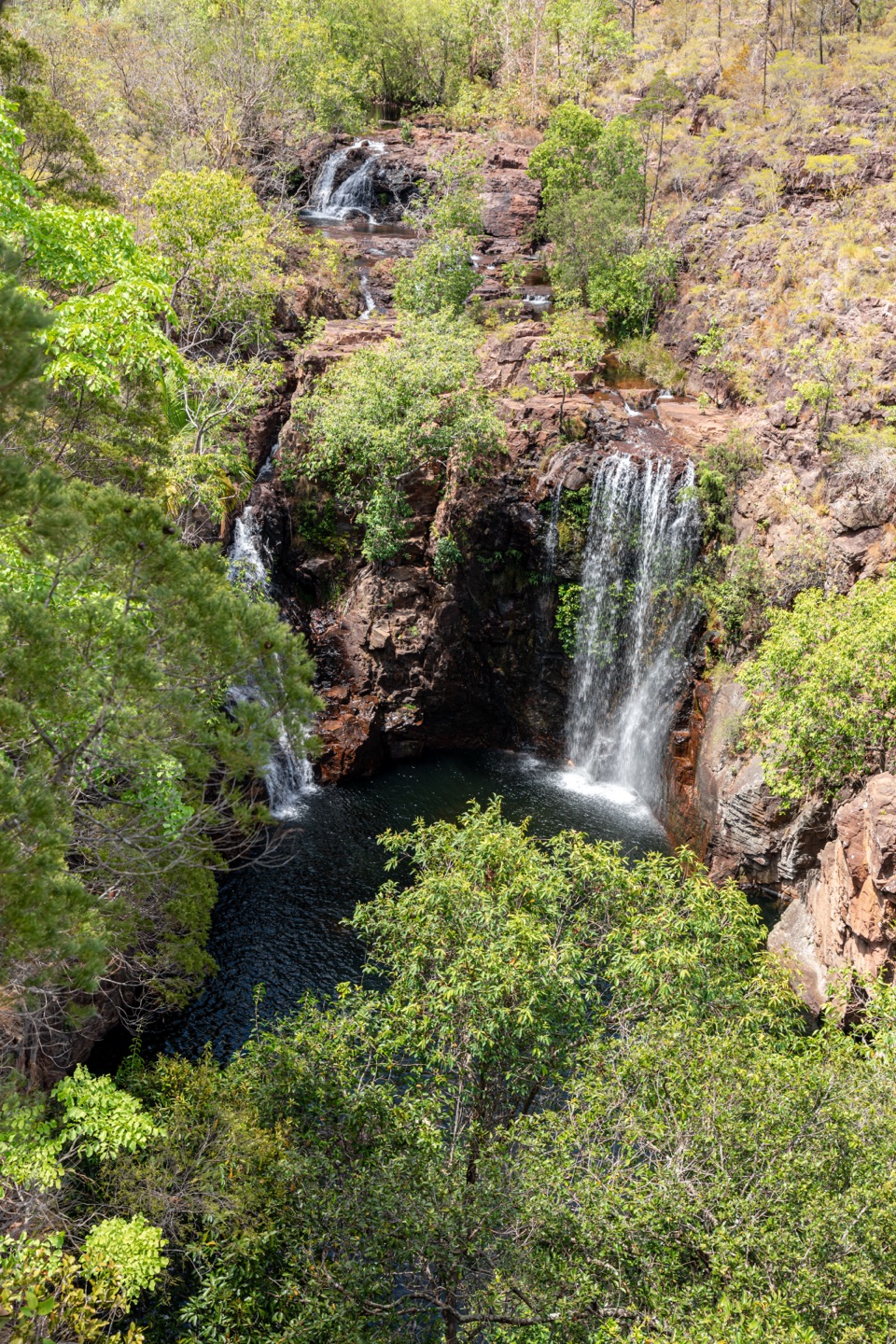
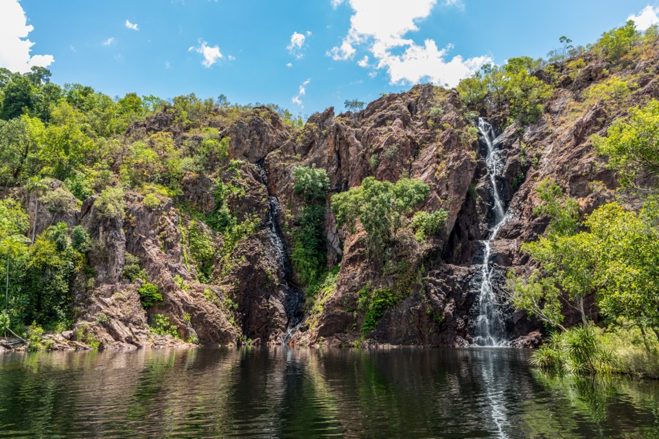
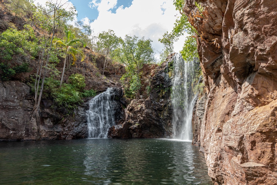
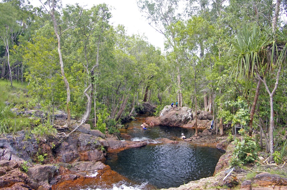
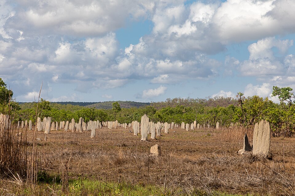
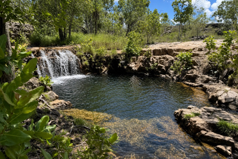
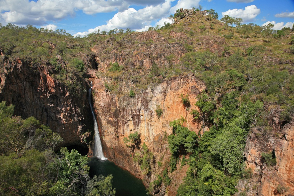
From Florence, the first long leg heads toward Wangi Falls alongside Wangi Creek, where paperbark and pandanus line the water. Castle-shaped boulders mark its final shady stretch. The route then continues from Wangi toward Walker Creek along a palm-lined creek to Tjenya Falls, before turning through open woodland to Walker Creek's swimming area. On the return to Florence, the scenery shifts to unusual sandstone formations and pockets of rainforest. Bine Jerak Falls, another cascade along the track, is worth a pause; the low rock lip and pool make a better picture together than a tight crop of water. Expect long stretches between the water stops rather than a chain of easy swims. The landscape changes enough to keep this long circuit interesting, but the daily pack and distance are the point of the trip.

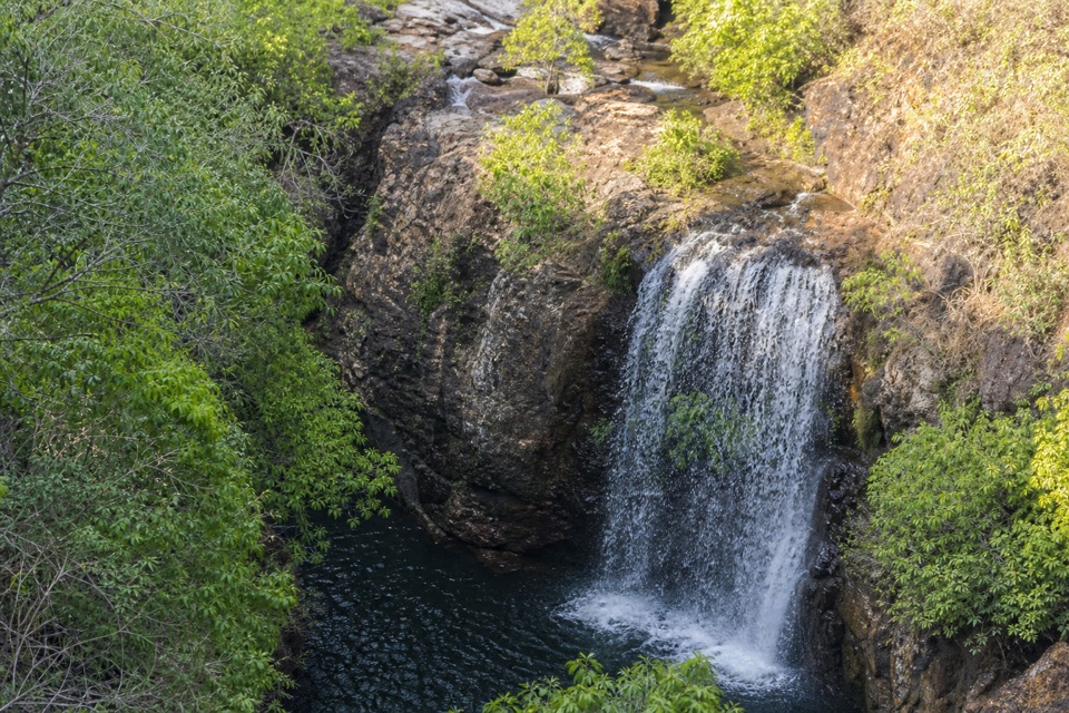
How long, and what to carryThe park gives the full circuit a 39-to-46-kilometre range and two to four days.

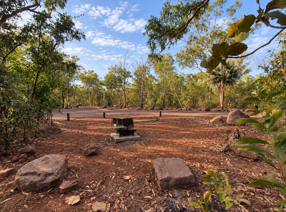
The park gives the full circuit a 39-to-46-kilometre range and two to four days. Its three access-to-access distances listed separately add up to more than that, so this description uses the main mapped circuit at about 39 kilometres, with access links excluded. Treat that as the loop between junctions, not the drive-to-trailhead total. Allow at least three days; four is the more comfortable plan for the rough ground and stops. There are three designated campgrounds along the route, and you need to book and pay for them online before you go. Facilities are minimal, so bring your food and other supplies rather than planning to restock along the way.

Access and the hard partsWater is limited in places.

Water is limited in places. Northern Campground has none, and water collected elsewhere needs treatment. Plan camp by camp instead of assuming every creek will be flowing when you reach it. Use Florence Falls carpark and follow its access track to the loop, or join from Wangi Falls or Walker Creek; those links aren't included in the mapped 39 kilometres. The track normally opens from June to September, but fire, safety or management closures can change access, so check the current status before setting out. Dogs aren't allowed in the park. The heat, steep exposed sections and limited water are the lasting tradeoffs; if those don't sound like your kind of multi-day walk, Litchfield has shorter creek and waterfall trails.

Keep exploring

Near Tabletop Track Full Circuit

See it all on the map

Trails that start nearby

Places near the trailhead

Parkwolf’s Litchfield ranking

Top-rated trails in Litchfield

All 17 trails
  1. 1Wangi Falls WalkModerate · 1.6 km
  2. 2Shady Creek WalkModerate · 1.6 km
  3. 3Florence Creek WalkEasy · 3.2 km
  4. 4Greenant Creek WalkModerate · 3.1 km
  5. 5Tolmer Falls Lookout WalkEasy · 0.8 km
  6. 6Tolmer Falls WalkModerate · 1.6 km

Take Parkwolf to Litchfield.

The audio tour guide for the drive, plus offline maps, trails, and wildlife heatmaps for when the signal drops.

4.7 from 8,600+ ratings

Download Parkwolf on the App StoreGet Parkwolf on Google Play