Parking
Use the east-side A84 layby immediately north of the Ardchullerie Burn bridge at Ardchullarie More. It is a limited roadside pull-in, not a developed car park; there is no public transport to the start.
Loch Lomond & The Trossachs National Park, SC
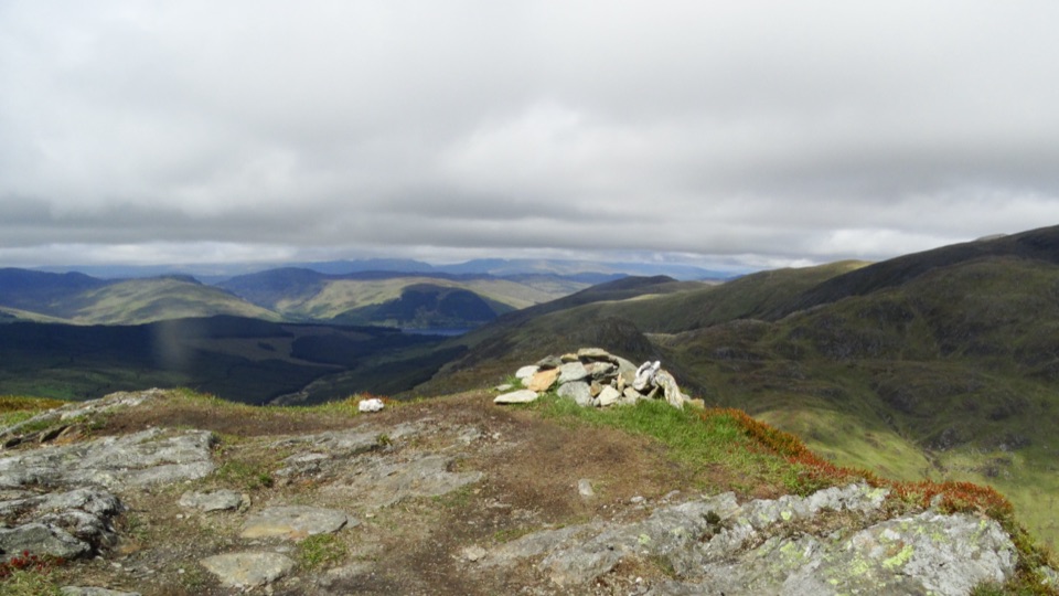
A steep Corbett climb to a tiny cairn and wide Forth views
Overview
Map & elevation
Plan your hike

The highest, rockiest slopes around here are a summer buffet for grizzly bears.
Loch Lomond & The Trossachs Tour Guide
Parkwolf is a GPS audio tour guide for Loch Lomond & The Trossachs National Park. As you drive, it chimes in with what’s ahead: hidden gems, upcoming stops, history, geology, and wildlife, right through your car’s speakers.
Recorded for this trailhead
Beinn Each from Ardchullarie“The A84 layby for Beinn Each is ahead. This is a tough four-hour climb in a compact four-and-a-quarter-mile return, with nearly seven hundred metres of ascent and a rough, exposed traverse over broken landslip ground.”
Plays as you drive up to this trailhead in the Parkwolf Loch Lomond & The Trossachs Tour Guide.
More stories near here in the app
“Fantastic app with many points of information… It’s great to just turn on while you’re driving and it gives you an audio tour of the national Park. We love it!!!!”


Trail guide
Beinn Each is a 4.25-mile out-and-back from the A84 at Ardchullarie More, climbing about 690 metres to an 813-metre Corbett. Allow around four hours. It is a proper hill climb packed into a compact distance: the approach rises almost continuously, and the upper slopes need careful foot placement. From the small summit cairn, the view opens southeast toward the Forth and the Wallace Monument, with Ben More and Stob Binnein to the west and the broken ridge of Stùc a’ Chròin beyond. Return by the same route; continuing over Stùc a’ Chròin becomes a much longer outing over rougher ground.
Start at the roadside layby on the east side of the A84, just north of the Ardchullerie Burn bridge. Follow the path beside the burn, cross a small stream, and climb through dense pine plantation. At the forestry track, turn left toward the gate and continue on the signed public right of way through Glen Ample. Near Eas an Èoin, follow the Hill Path sign onto a narrower track through bracken. A short boggy patch can slow you here. A large boulder around 500 metres up makes a useful pause before the open hillside.
The path cuts steeply across the slope, which is broken into ridges, hollows and crags by a landslip. It eases briefly on a shoulder, then steepens again toward the ridge. This is the roughest, most exposed part of the standard route; the small cairn comes after several rocky bumps rather than at the first high point. Winter conditions make the traverse a serious footing challenge and can call for mountaineering equipment.
The summit is small and rocky, with the broad view doing most of the work. Include the cairn and slabs in the foreground to give a photo some scale. Turn back here for the route described; the continuation toward Stùc a’ Chròin crosses a more complex ridge and is not part of this shorter return. The start is a limited roadside layby with no public transport. The Cabin at Loch Lubnaig is a separate nearby stop for a snack or meal.
Wildlife
 14 sightingsGolden EagleMost seen around 6 PMSighting map
 37 sightingsRed DeerMost seen around 7 PMSighting map
 100 sightingsMute SwanMost seen around 11 AMSighting map
 48 sightingsOspreyMost seen around 6 PMSighting map
 24 sightingsEurasian BeaverMost seen around 8 PMSighting map
 37 sightingsEurasian Pine MartenMost seen around 7 PMSighting map
Sighting maps show where each species has been reported across Loch Lomond & The Trossachs. Wildlife moves, so no sighting is guaranteed.
Keep exploring
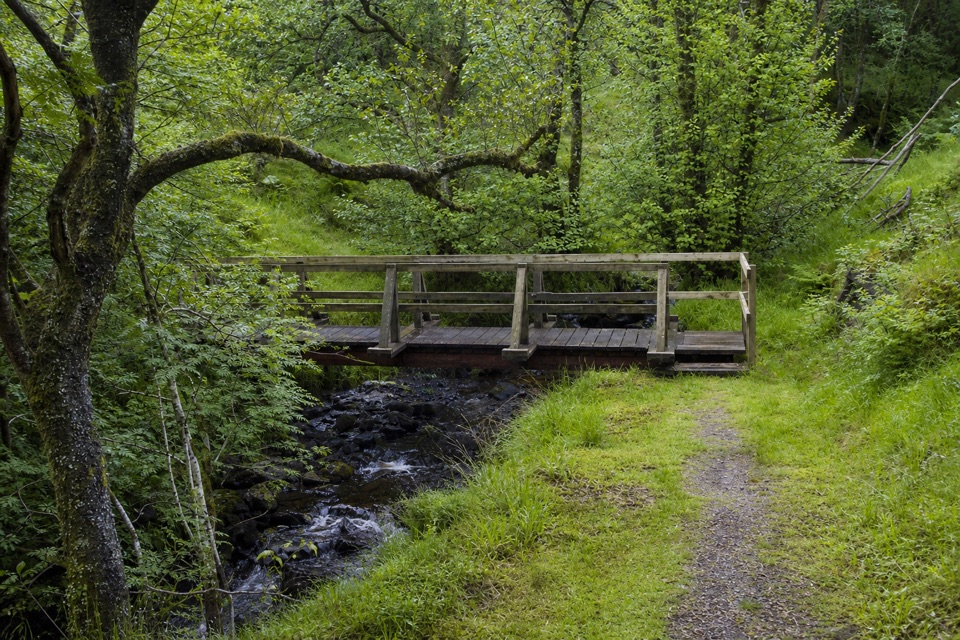 ModerateTighanes Burn Trail2.8 km · 1.5 hr · 3.8 km awayA short loop climbs past waterfalls into native pinewood
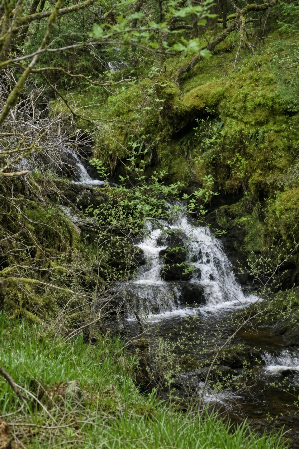 ModerateTighanes Burn Trail2.8 km · 1.5 hr · 3.8 km awaySteep woodland loop to waterfalls and views across Balquhidder.
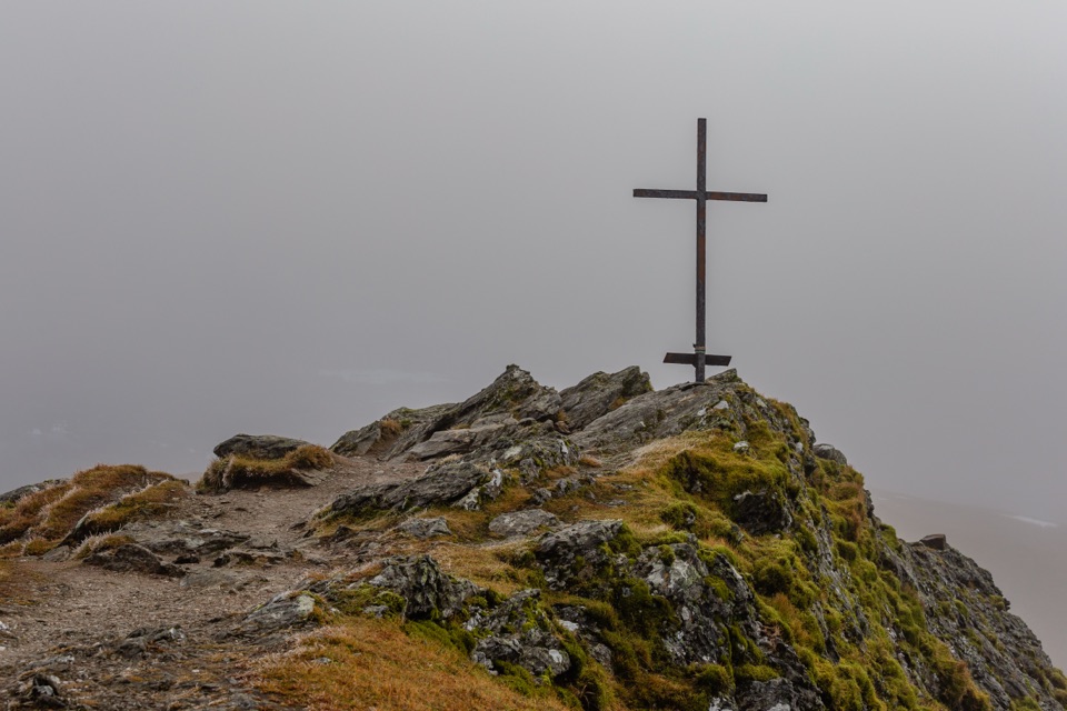 ChallengingBen Ledi Summit Walk7.6 km · 4.5 hr · 4.6 km awaySteep climb to a memorial cross and broad Trossachs views
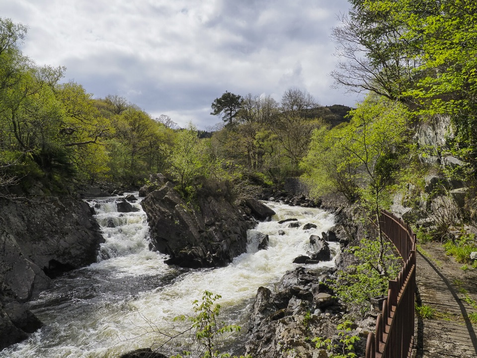 ModerateBochastle and the Falls of Leny7.6 km · 2 hr · 6.1 km awayA forest loop with glen views and a detour to the Falls.
 ModerateThe Great Trossachs Path48.3 km · 13 hr · 7.2 km awayA 30-mile crossing from Callander's old railway to Loch Lomond.
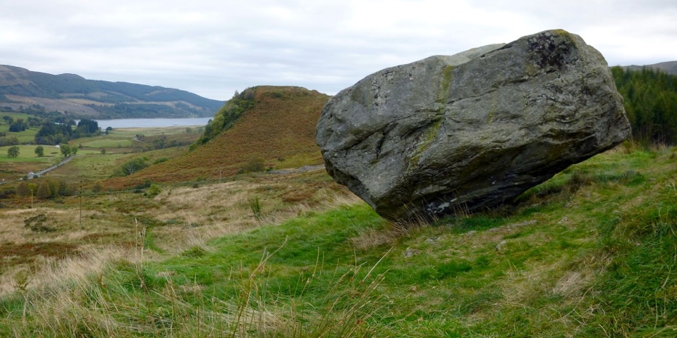 ModerateSamson’s Stone and Dunmore Fort Circuit7.9 km · 2.5 hr · 7.2 km awayA boulder, an Iron Age fort, and a steep grassy climb.
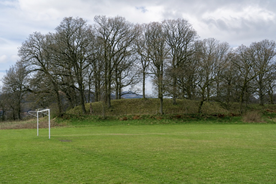 EasyThe Glacier Trail4.8 km · 1.5 hr · 7.4 km awayThe ice left two landforms on this easy Callander loop
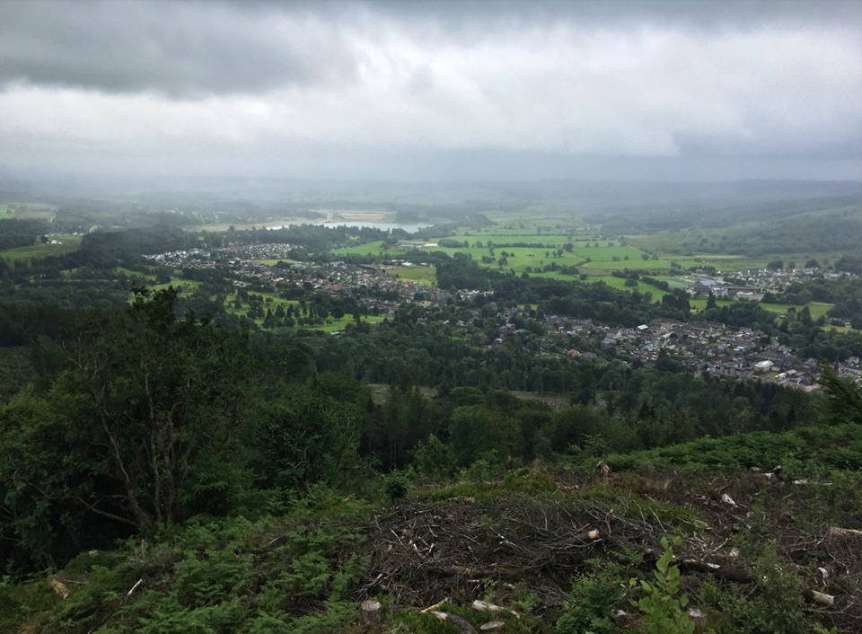 ChallengingCallander Crags Trail3.7 km · 1.8 hr · 7.5 km awayA steep loop from Callander to a crag-top view over town.
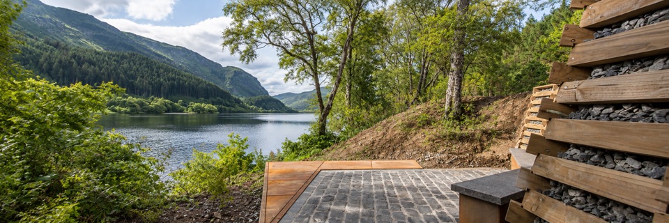 Sight · 0.6 km awayFaerie Hollow — Loch LubnaigVerse in metal tucked in a faerie hollow facing Ben Ledi
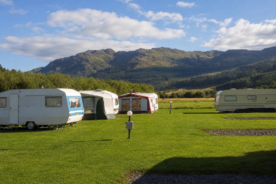 Campground · 3.5 km awayImmervoulin Caravan & Camping ParkA riverside campsite with mountain views and a walk to Loch Lubnaig.Sight · 5 km awayFalls of Leny ViewpointFoaming rapids split around a huge rock in a wooded gorge
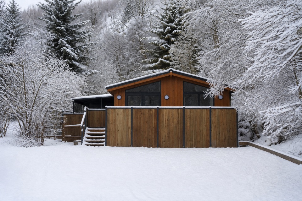 Lodging · 7.4 km awayBalquhidder Braes Holiday ParkHillside lodges with hot tubs beside the Rob Roy Way.
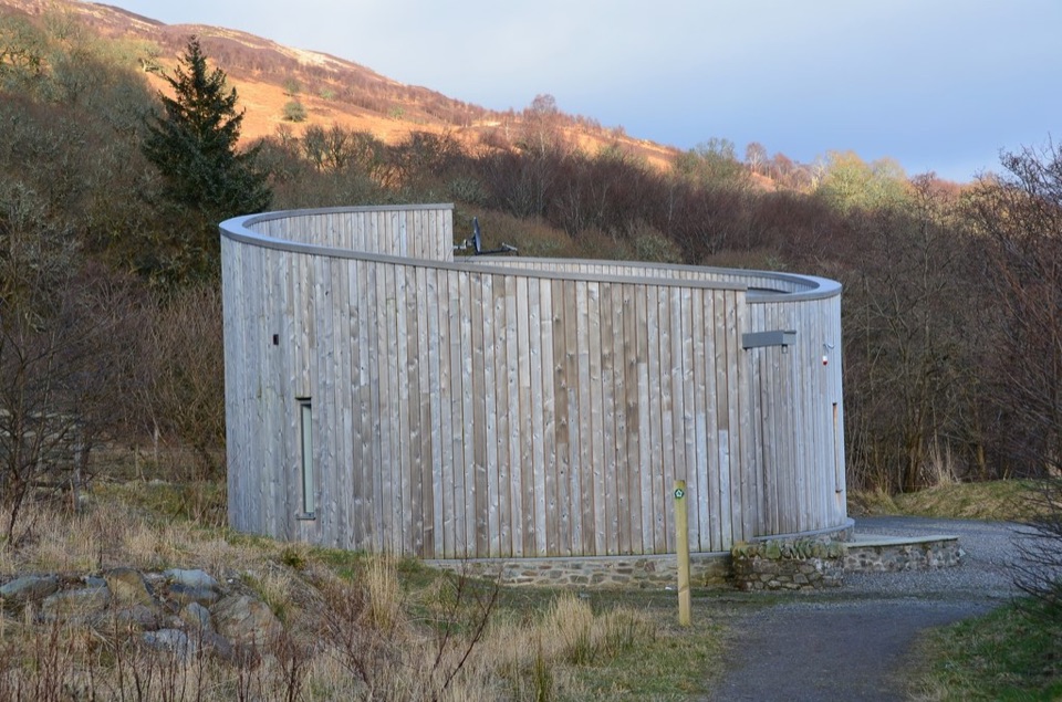 Visitor center · 8.1 km awayGlen Finglas Visitor GatewayPlan nine routes or a 2 km sculpture trail from here.
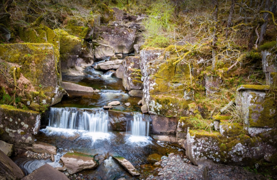 Sight · 8.1 km awayBracklinn FallsA woodland walk to tumbling water and a deep rock gorge.
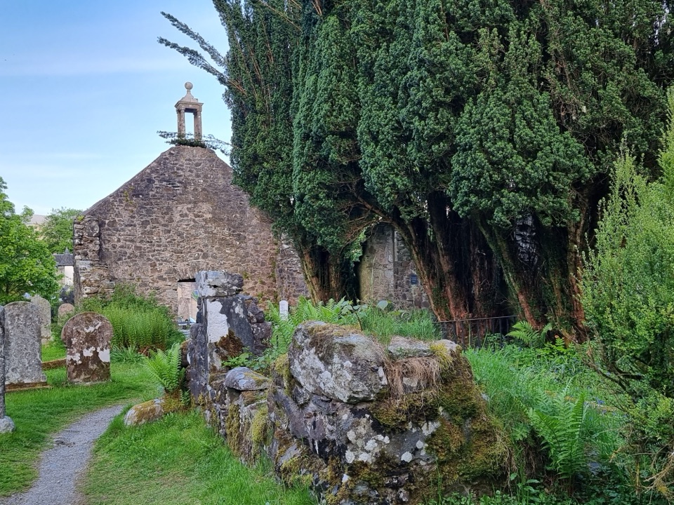 Sight · 8.6 km awayRob Roy’s Grave and Balquhidder Old KirkRob Roy’s grave beside a roofless old kirk in Balquhidder Glen
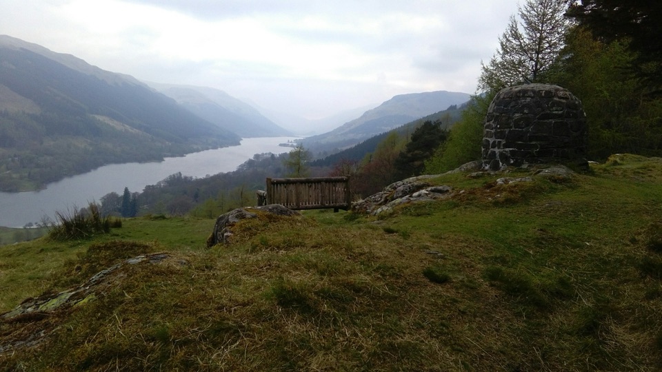 Sight · 8.7 km awayCreag an Tuirc ViewpointA short climb to Loch Voil views and Clan MacLaren history
Parkwolf’s Loch Lomond & The Trossachs ranking

The audio tour guide for the drive, plus offline maps, trails, and wildlife heatmaps for when the signal drops.




