Parking
Use the Earnslaw Burn Track car park on Lovers Leap Road, reached from the gravel Glenorchy–Paradise Road about 20 minutes from Glenorchy. Parking capacity is not established.

Mount Aspiring National Park, OT · WC
A hard, full-day forest tramp to Mount Earnslaw's icefall.
Overview
Map & elevation
Plan your hike

The highest, rockiest slopes around here are a summer buffet for grizzly bears.
Mount Aspiring Tour Guide
Parkwolf is a GPS audio tour guide for Mount Aspiring National Park. As you drive, it chimes in with what’s ahead: hidden gems, upcoming stops, history, geology, and wildlife, right through your car’s speakers.
See the Mount Aspiring audio tourRecorded for this trailhead
Lovers Leap Road and Earnslaw Burn“You're approaching Lovers Leap Road, the access for Earnslaw Burn Track. This is an eight-to-twelve-hour return hike to a forest-edge view of Mount Earnslaw's icefall, with sixteen point six kilometres of walking.”
Plays as you drive up to this trailhead in the Parkwolf Mount Aspiring Tour Guide.
More stories near here in the app
“Fantastic app with many points of information… It’s great to just turn on while you’re driving and it gives you an audio tour of the national Park. We love it!!!!”


Trail guide
Earnslaw Burn Track is a hard out-and-back from Lovers Leap Road to a forest-edge viewpoint below Pikirakatahi/Mount Earnslaw. The DOC track is 8.3 km (5.2 mi) one way, 16.6 km (10.3 mi) return. DOC’s 4–6 hours is one way, so allow about 8–12 hours for the full trip. That distance ends at the forest edge; the waterfalls farther up the valley are an extra hour each way.
For the first three to four hours, the route stays in beech forest on the slopes above the burn. The ground rolls up and down under roots and mud, and tree falls and slips can slow you. Small side streams are unbridged. There are only occasional openings: one gives a look back toward Mt Alfred and part of Diamond Lake, while brief gaps show the burn gorge. DOC describes the track as poorly marked, so this is a day for people who can navigate with a map, not a walk where you can count on a single obvious tread.
The DOC route ends at a viewpoint facing the icefall on Pikirakatahi/Mount Earnslaw. Waterfalls run down the mountain’s rock faces, with their flow varying after rain. A rock overhang known as Rock bivvy sits just inside the forest on the burn’s true right bank, looking downstream. Reaching it means crossing the river, which can be dangerous in heavy rain.
There is no marked DOC track beyond the forest edge, and DOC does not manage hazards farther up the valley. The basin is overgrown with speargrass. DOC says the waterfalls are another hour’s walk one way beyond the track; through the tussock basin, public access is limited to a 10 m strip beside the burn, with private land beyond it. Treat that as a separate extension, not part of the mapped 16.6 km return, and stay within the public strip.
DOC rates this an Advanced tramping track for experienced trampers. It warns of route-finding, windfall, slips, unbridged river hazards, severe weather, flooding, frost and snow. There is no mobile coverage. For a full-day return, DOC advises checking daylight, being fit and confident with navigation, and carrying a personal locator beacon; young children are not recommended. If you want a shorter, less demanding walk, DOC suggests Lake Sylvan Track or Routeburn Nature Walk.
The track begins on the true left bank of Earnslaw Burn at the car park on Lovers Leap Road. Turn off the gravel Glenorchy–Paradise Road; the start is about 20 minutes from Glenorchy. DOC confirms there are no toilet facilities at the track.
Wildlife
 60 sightingsKeaMost seen around 5 PMSighting map
 112 sightingsRockwrenMost seen around 8 AMSighting map
 26 sightingsYellowheadMost seen around 8 AMSighting map
 13 sightingsTūīMost seen around 7 AMSighting map
 27 sightingsBellbirdMost seen around 7 AMSighting map
 35 sightingsRiflemanMost seen around 8 AMSighting map
Sighting maps show where each species has been reported across Mount Aspiring. Wildlife moves, so no sighting is guaranteed.
Keep exploring
 ChallengingRees-Dart Track63 km · 1 day · 6.8 km awayFrom Rees River flats over an alpine saddle to the Dart.
 ChallengingKea Basin Track24 km · 9 hr · 6.8 km awayA long valley walk opens beneath Earnslaw’s hanging glaciers.
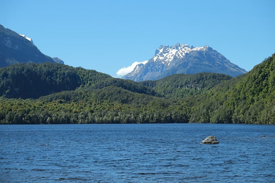 ModerateLake Sylvan Track6.5 km · 1.7 hr · 7.8 km awayA suspension bridge leads through red beech to a lakeside platform.
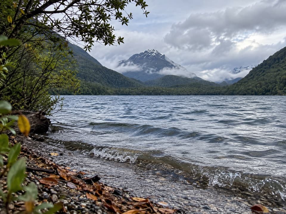 ModerateLake Sylvan–Rockburn Track14.5 km · 5 hr · 7.8 km awayA long forest tramp pays off at Rockburn’s blue pools.
 ChallengingRouteburn Track33.1 km · 13.5 hr · 10.7 km awayWaterfalls, alpine wetlands and a 1,255 m pass in one crossing.
 ModerateRouteburn Falls Hut Day Walk19.6 km · 7 hr · 10.7 km awayTwo waterfalls and a high hut make the long climb worthwhile.
 ChallengingTarahaka Whakatipu (Harris Saddle)25.4 km · 10.5 hr · 10.7 km awayA long alpine day ends at a shelter above Lake Harris.
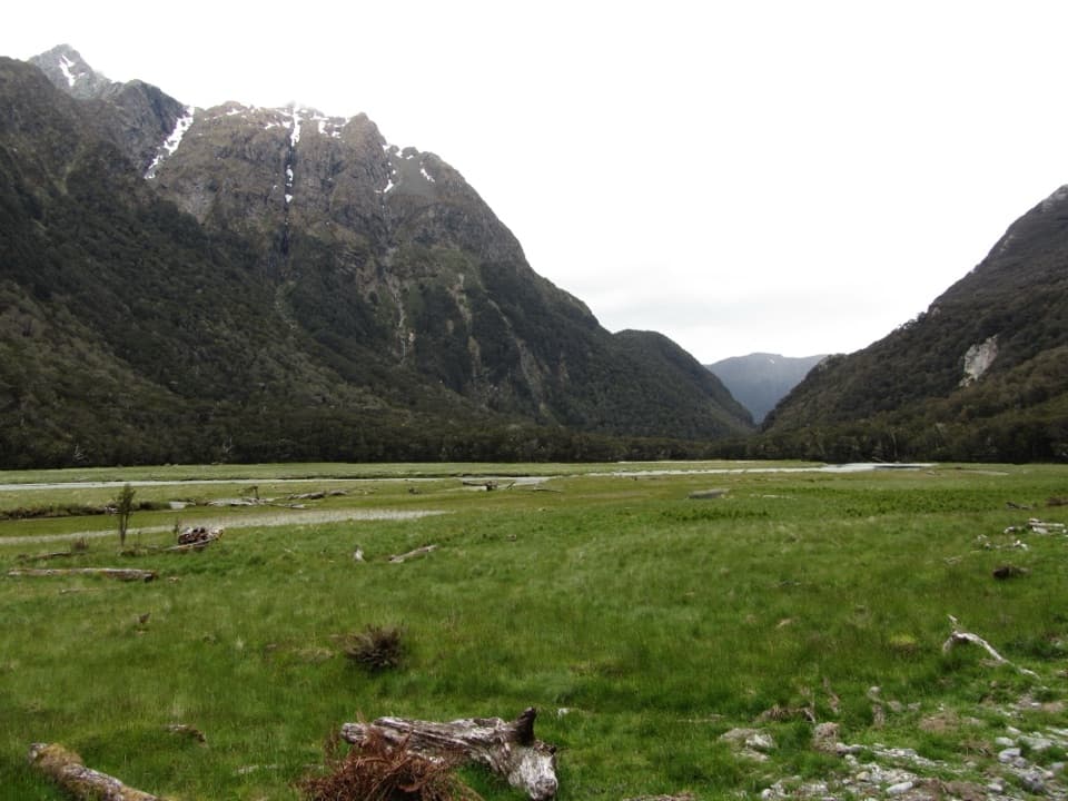 ModerateRouteburn Flats Track15 km · 4 hr · 10.7 km awayFollow an 1870s bridle path to open valley flats.
 Campground · 8 km awaySylvan CampsiteA simple riverside base for Lake Sylvan and the Routeburn
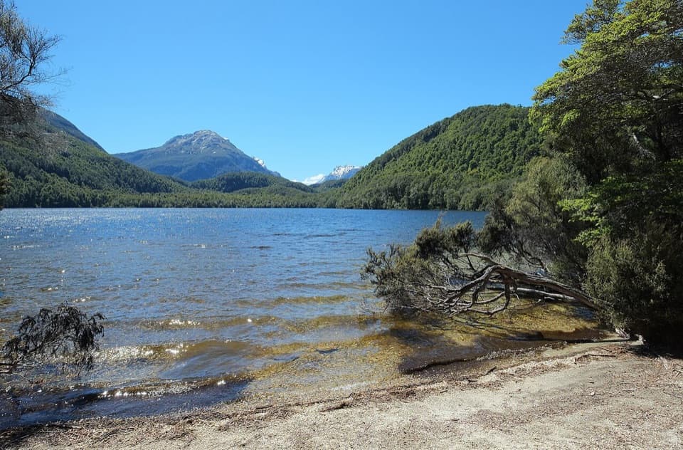 Sight · 8.2 km awayLake SylvanA gentle forest walk ends at a lake with a mountain view.
 Sight · 12.4 km awayLennox FallsA multi-tier waterfall on a long, boggy Rees Valley walk.
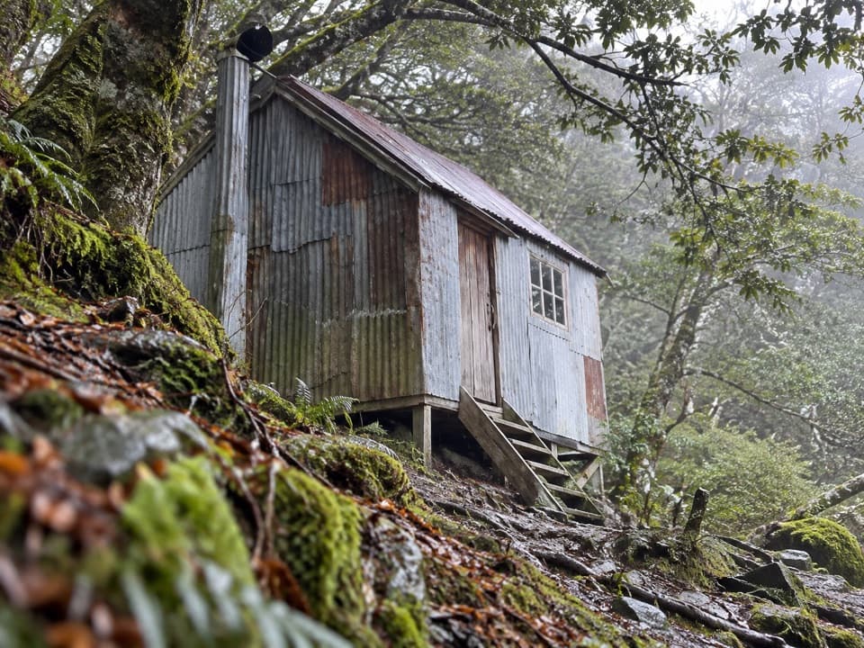 Lodging · 13.5 km awayEarnslaw HutA weathered four-bunk stop on the long Kea Basin climb.
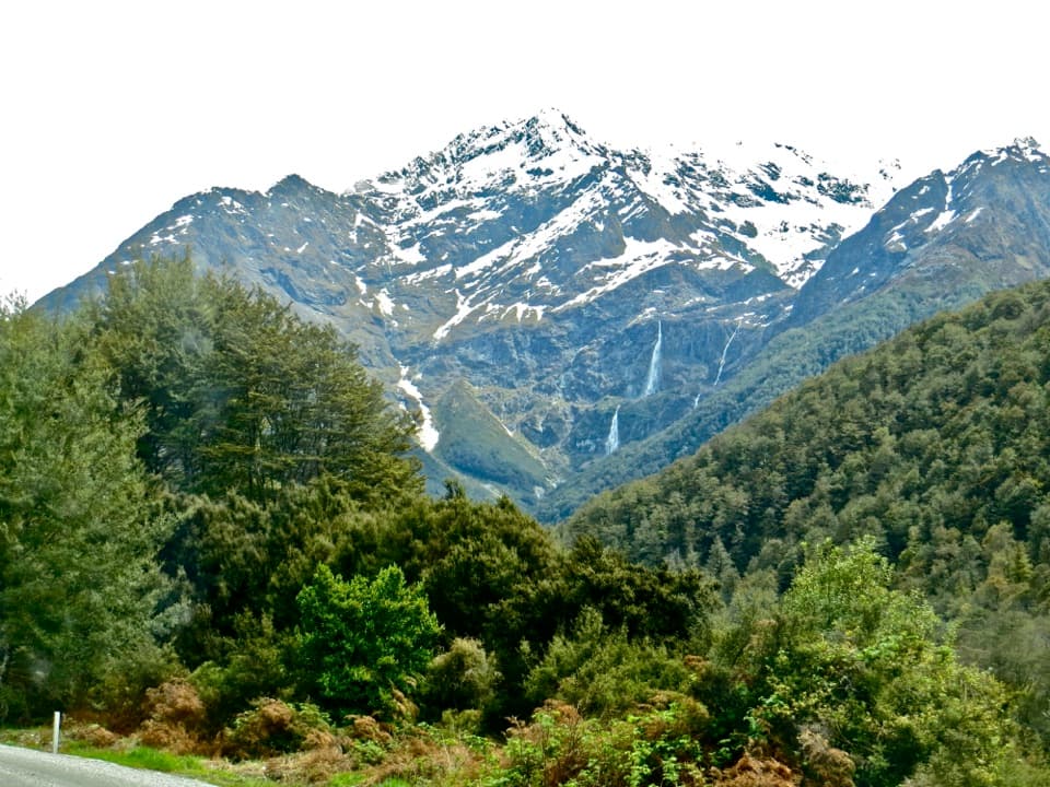 Sight · 13.5 km awayBridal Veil FallsA 57-metre fall framed by the Routeburn's forest and snowy peaks.
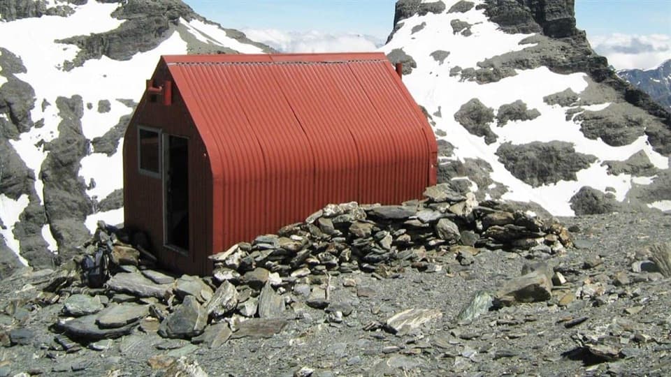 Lodging · 13.9 km awayEsquilant Bivvy HutA six-bunk alpine shelter high above the Rees Valley.
 Lodging · 15.5 km awayRouteburn Flats HutA good first night on the Routeburn, with the valley opening wide.
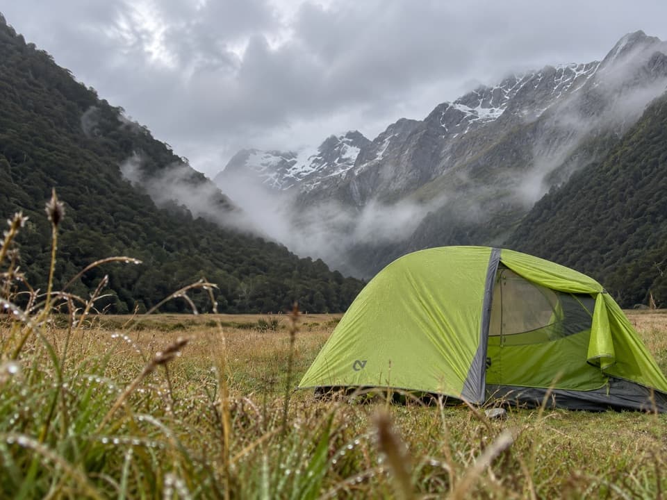 Campground · 15.7 km awayRouteburn Flats CampsiteA 15-site walk-in camp on the Routeburn's open grassy flats.
Parkwolf’s Mount Aspiring ranking

The audio tour guide for the drive, plus offline maps, trails, and wildlife heatmaps for when the signal drops.


