Pros & cons
PROS
- Bikeable approach on the old Carbon River Road
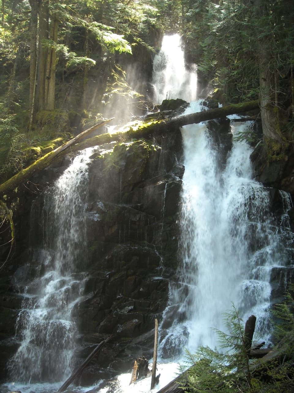
- Gorgeous multi-cascade waterfall in lush rainforest
CONS
- Seasonal log footbridge often washes out, making crossings tricky
- Longer approach due to Carbon River Road closure
Overview
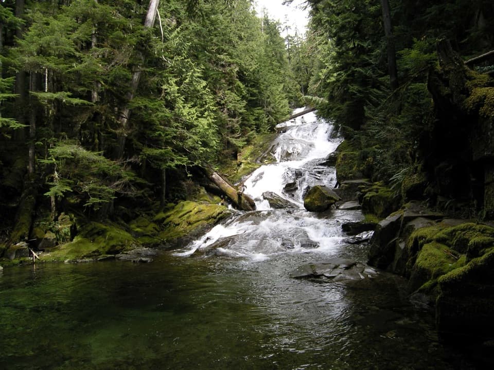
Chenuis Falls is a quiet, multi-tiered waterfall tucked into the Carbon River side of the park. It’s the kind of spot that feels off the grid: mossy forest, a roaring creek, and a short spur to a close-up viewpoint once you’ve made the approach.
Getting There
From the Carbon River Entrance, hike or bike about 3.7 miles up the old Carbon River Road (now a trail). From there, a 0.2-mile spur leads to the falls, including a crossing of the Carbon River via a log footbridge that often washes out in winter. Round-trip distance typically lands around 7.4–7.9 miles depending on where you start.
Bikes are allowed on the Carbon River Road section, which makes the approach much faster, but not on the spur to the falls.
What Makes It Unique
Unlike most waterfall walks, this one weaves through a dynamic river corridor. Expect a braided riverbed, rocks and sandbars, and occasional route-finding. Cairns may mark the best line to successive bridges before the short forested trail delivers you to the viewpoint near the base.
Trail Feel and Scenery
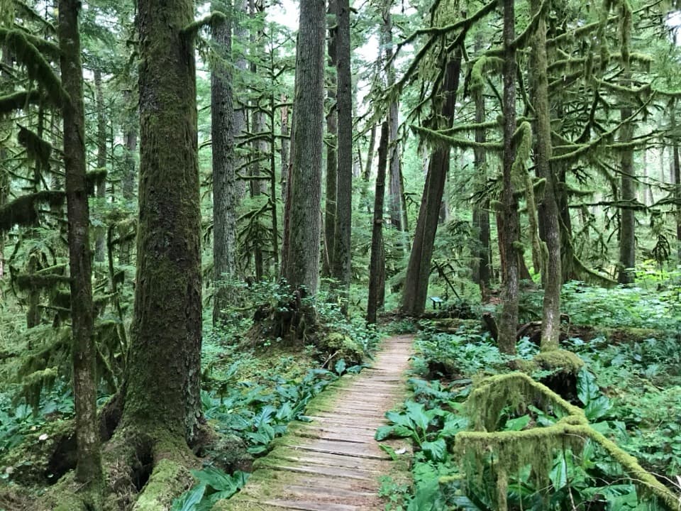
The approach runs through classic temperate rainforest—towering trees, ferns, and dripping moss. The lower tiers of the falls pour into a scenic pool framed by forest, and the whole area tends to be far less busy than the park’s marquee stops.
Wildlife
Keep an eye out for signs of elk along the Carbon River corridor, plus forest birds and small mammals typical of this wet, low-elevation rainforest.
Seasonal Notes & Safety
The log footbridge is seasonal and prone to washouts, especially in winter and spring. High water can make crossings unsafe. Downed trees, muddy stretches, and faint paths across the riverbed are all possible—bring patience and good judgment.
Best Time to Visit
Mid to late summer into early fall offers the most reliable conditions for the river crossing and a mellow day out. In winter and spring, expect high water and a good chance the bridge is out; always check current conditions before you go.
Need-to-Know Tips
- Check with rangers for current footbridge status before heading out.
- Bike the Carbon River Road segment to save time and energy, then walk the spur.
- Watch for cairns guiding the way across rocks and sandbars.
- Waterproof boots and trekking poles are handy if crossings are wet.
- There are no services along the route—pack the Ten Essentials and your own water.
Where it is
46.9932, -121.8415Tips for Chenuis Falls
- 01Check with rangers to confirm the Chenuis footbridge is in place.
- 02Bike the Carbon River Road portion, but walk the final spur to the falls.
- 03Look for cairns marking the best line across rocks and sandbars.
- 04Pack waterproof footwear and trekking poles in case crossings are wet.
- 05Expect few amenities; bring all the water and supplies you need.
Amenities
Near Chenuis Falls
All places →All trails →
0.2 mi awayChenuis Falls TrailEasy riverwalk to a roaring rainforest waterfall with a bike optionEasy · 6.4 mi · 3 hr
0.6 mi awayGreen Lake TrailRainforest stroll to Ranger Falls and a jade pool—bring a bikeModerate · 10 mi · 4.5 hr
0.9 mi awayRanger FallsLush old-growth hike to a thundering, multi-tiered cascadeScenic Viewpoint
1.3 mi awayIpsut Creek CampgroundBike-in rainforest camp with rare backcountry comfortsRestroom · Picnic Table
1.3 mi awayIpsut Falls TrailLong, mellow Carbon River ramble to a quiet under the radar fallsModerate · 11.4 mi · 5 hr
1.3 mi awayIpsut Creek Patrol CabinHistoric ranger cabin tucked in the Carbon River rainforestRanger Station
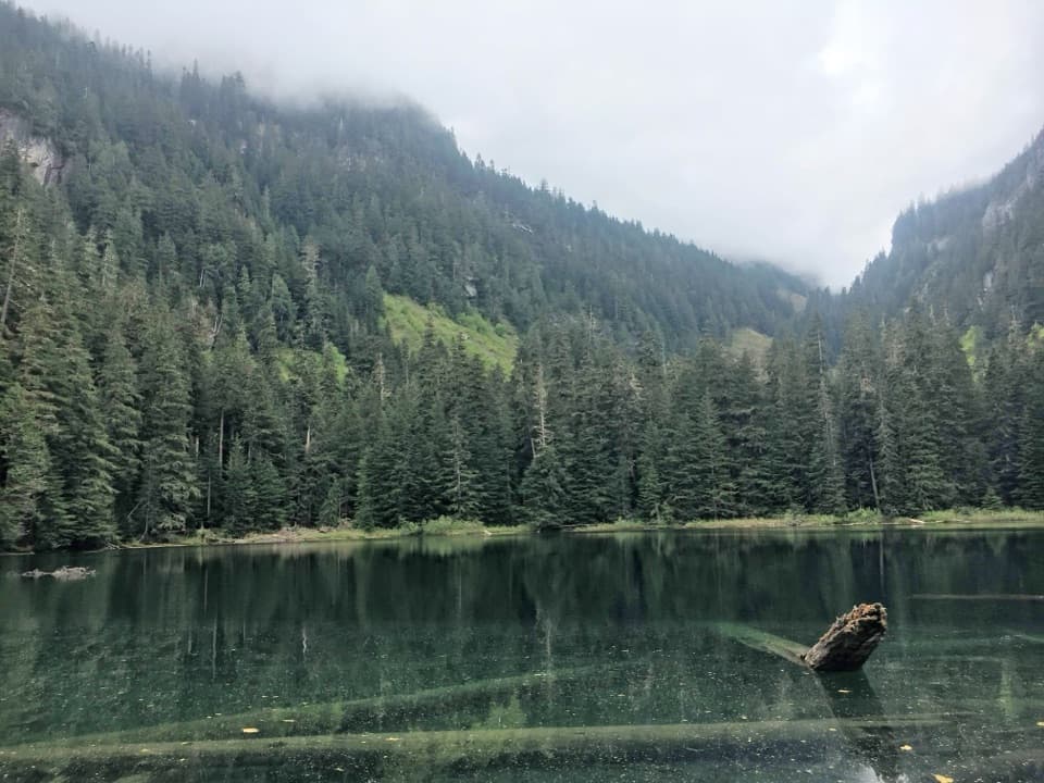
1.4 mi awayGreen LakeEmerald forest lake after Ranger Falls on a longer, quieter hike
3.5 mi awayCarbon Glacier TrailBike-then-hike to Rainier’s lowest, thickest glacier on a big day.Challenging · 17 mi · 8 hr