Parking
About two miles west of White River Entrance on White River Road. Park in the small lot on the right; the signed trailhead is across the road. Space is limited to roughly seven vehicles and can fill early on sunny summer days.
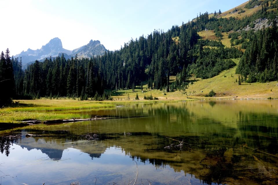
Mount Rainier National Park, WA
A steady forest climb to lakes beneath a jagged ridge.
Overview
Map & elevation
Plan your hike

The highest, rockiest slopes around here are a summer buffet for grizzly bears.
Mount Rainier Tour Guide
Parkwolf is a GPS audio tour guide for Mount Rainier National Park. As you drive, it chimes in with what’s ahead: hidden gems, upcoming stops, history, geology, and wildlife, right through your car’s speakers.
See the Mount Rainier audio tourRecorded for this trailhead
Owyhigh Lakes: A Basin Below Governors Ridge“Owyhigh Lakes trailhead is coming up, the start of a steady forest climb to two shallow lakes below jagged Governors Ridge.”
Plays as you drive up to this trailhead in the Parkwolf Mount Rainier Tour Guide.
More stories near here in the app
“Fantastic app with many points of information… It’s great to just turn on while you’re driving and it gives you an audio tour of the national Park. We love it!!!!”


Trail guide
This is a 7-mile out-and-back from White River Road to a pair of shallow subalpine lakes, then back the same way. The first 3.5 miles climb through forest on broad switchbacks before opening into meadow below Governors Ridge. Allow 4 to 5 hours with a pause at the lakes. It suits a half-day when you want a steady, mostly shaded climb and a tucked-away basin; there is no view of Mount Rainier from this route. The Park Service lists 1,350 feet of gain, while other route statistics are closer to 1,650, so expect a sustained climb.
The signed trail starts across White River Road from the small parking area. The tread is wide and smooth, with long switchbacks that make the climb steady rather than abrupt. Views stay limited under the old and newer forest, but a bluff about six-tenths of a mile in looks into the broad Shaw Creek drainage. The trail crosses a small creek and reaches Tamanos Creek at about mile 2.9; a spur just beyond leads to Tamanos Creek Camp. The final half-mile eases along before the trees give way to meadow.
At about 3.5 miles, the trail passes roughly 100 feet above the shallow lakes, with the jagged face of Governors Ridge behind them and Tamanos Mountain to the west. This is the 7-mile out-and-back’s turnaround. A social path reaches the water about a quarter-mile farther along; if you visit the basin, use that worn approach rather than cutting across the flowered meadow. That side trip adds distance beyond the listed round trip. For a photo, frame the water with Governors Ridge above it. The trail does not climb a peak or reach a Rainier overlook; the lakes and ridge are the payoff.
The Park Service connects the lakes’ name with a story about Yakama Chief Owhi lending horses to Theodore Winthrop during his mid-1850s journey across the Cascades. Winthrop later gave his name to a glacier on Mount Rainier. The story ties the lakes to the older travel history of the range, well before the road became the usual approach.
After the snow melts, the meadow can hold lupine, paintbrush, columbine and other wildflowers. By fall, grasses and sedges turn gold. Mountain goats live on the rocky slopes above the lakes, though a sighting is never guaranteed. Take time to scan the ridge rather than rushing straight back once you reach the water.
White River Road is generally a summer road, typically open from June through October. The trailhead is about two miles west of White River Entrance; the lot is very small, roughly seven vehicles, and can fill early on sunny days. Tamanos Creek may be dry by late summer, so carry enough water for the full walk and treat anything collected from a natural source. Overnight stays at Tamanos Creek Camp require a wilderness permit, fires are prohibited, and dogs are not allowed on park trails.
Wildlife
 466 sightingsMountain GoatMost seen around 6 AMSighting map
 383 sightingsBlack BearMost seen around 7 PMSighting map
 10 sightingsWolverineMost seen around 6 AMSighting map
 58 sightingsElkMost seen around 6 AMSighting map
 574 sightingsMule DeerMost seen around 6 AMSighting map
 1,853 sightingsHoary MarmotMost seen around 6 AMSighting map
Sighting maps show where each species has been reported across Mount Rainier. Wildlife moves, so no sighting is guaranteed.
Keep exploring
 ChallengingEastside Loop34.5 mi · 22 hr · At the trailheadA long loop from deep forest to high alpine meadows.
 ModerateSummerland Trail8.4 mi · 4 hr · 0.7 mi awayWildflower meadows and Rainier views, after a long forest climb.
 ChallengingSummerland–Panhandle Gap Trail12 mi · 8 hr · 0.7 mi awayRainier falls away as meadow trails rise to a rocky alpine saddle.
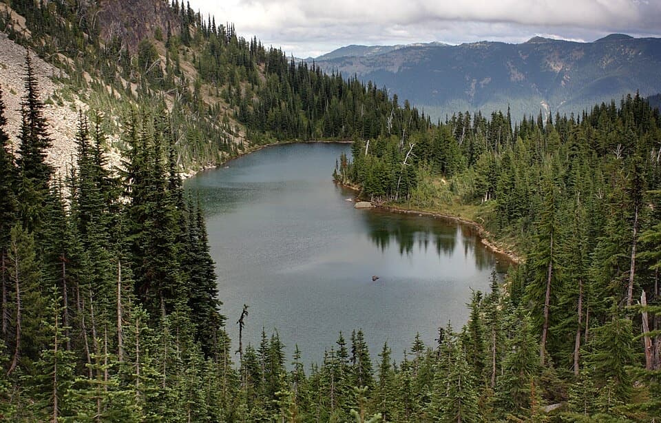 ModerateHidden Lake Spur Trail6.1 mi · 4 hr · 1.9 mi awayAn alpine lake tucked beneath the Palisades, with a hard climb back.
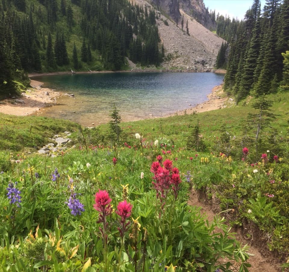 ChallengingPalisades Lakes Trail7 mi · 5 hr · 1.9 mi awaySeven miles of alpine lakes, ending beneath the Palisades cliffs.
 EasySunrise Lake Trail1.5 mi · 1.3 hr · 1.9 mi awayA short lake walk with the steep climb on the way back.
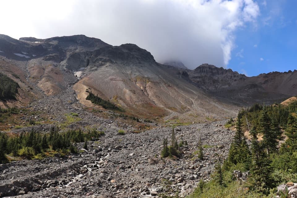 ChallengingGlacier Basin–Burroughs Loop11.5 mi · 8 hr · 2.4 mi awayA hard loop from glacier basin to open, high alpine tundra.
 ModerateGlacier Basin Trail7 mi · 5 hr · 2.4 mi awayA former mining road climbs to a glacier-carved basin.
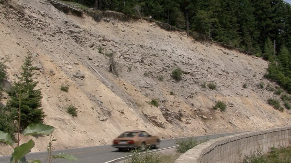 Scenic pullout · 1.1 mi awaySunrise Road PulloutA roadside geology stop for Rainier's volcanic layers and mudflow deposits.
 Sight · 1.5 mi awaySunrise Road Columnar Rock FormationA roadside close-up of ancient lava columns and a glacier-built ridge.
 Sight · 1.9 mi awaySunrise Point OverlookA broad Cascade panorama from the bend of a lava ridge.
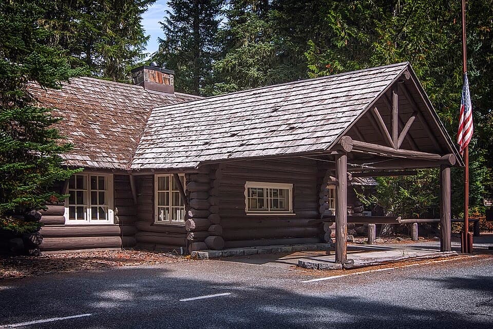 Visitor center · 2.1 mi awayWhite River Wilderness Information CenterGet permits, maps, and trail advice before heading toward Sunrise.
 Scenic pullout · 2.1 mi awaySunrise Road White River ViewRainier and Adams rise above the White River Valley on Sunrise Road.
 Campground · 2.3 mi awayWhite River CampgroundSunrise-area hikes start right from this wooded riverside camp.
 Picnic area · 2.3 mi awayWhite River Picnic AreaA wooded meal stop with eight grills and nearby trail access.
 Sight · 2.4 mi awayWhite River Patrol CabinA 500-foot walk to the White River area's oldest cabin.
Parkwolf’s Mount Rainier ranking

The audio tour guide for the drive, plus offline maps, trails, and wildlife heatmaps for when the signal drops.



