Lake Rotoiti View in Nelson Lakes National Park

#10 of 15 sights in Nelson Lakes

Sight · Nelson Lakes National Park

Lake Rotoiti View

Pinchgut climbs to a wide view of Lake Rotoiti’s two bays.

Type
Sight
Nearest trail
0.3 km
Audio stories
3 nearby
  • Scenic viewpoint
  • Parking
  • Restrooms

Hear the audio tour

Mount Robert: Views on Foot

Overview

About Lake Rotoiti View

Why stop

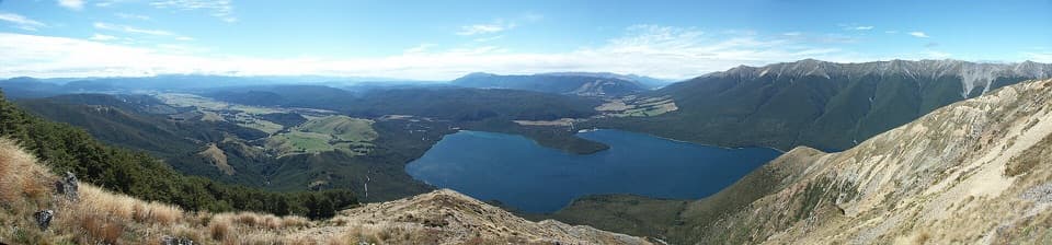
  • A broad look over West Bay, Brunner Peninsula and Kerr Bay.

Heads up

  • You have to climb Pinchgut rather than stopping beside the road.

Map

Where it is

Loading the Nelson Lakes map
Full map
SightLake Rotoiti View-41.82492, 172.81093
Keep this map with you offline in the Parkwolf app

Plan your stop

Before you go

3 active Nelson Lakes alerts

  • ClosureRotoroa Route permanently closedThe Rotoroa Route is permanently closed along the eastern side of Lake Rotoroa between Rotoroa village and Sabine Hut.Official details
  • CautionUnbridged stream between Sabine and D’Urville hutsThe bridge on the track between Sabine Hut and D’Urville Hut has been removed; trampers must cross an unbridged stream at GR E1571366 N5359831.Official details

See all 3 alerts
A park ranger sits on a dash-mounted phone, talking, as Parkwolf’s Tour Guide plays “Army Cutworm Moths: A Grizzly Bear Buffet” on Grand Loop Road below Dunraven Pass in Yellowstone
Parkwolf Tour GuideThe highest, rockiest slopes around here are a summer buffet for grizzly bears.

Nelson Lakes Tour Guide

Your drive to Lake Rotoiti View, narrated.

Parkwolf is a GPS audio tour guide for Nelson Lakes National Park. As you drive, it chimes in with what’s ahead: hidden gems, upcoming stops, history, geology, and wildlife, right through your car’s speakers.

Recorded for this place

Mount Robert: Views on Foot
0:00 / 0:27
“The Mount Robert trailheads are coming up, where the lake lookout takes an uphill walk from the car park.”

Plays as you drive up to Lake Rotoiti View in the Parkwolf Nelson Lakes Tour Guide.

More stories near here in the app

  • Lakeside Track to Whisky Falls
  • Buller Bridge and Anglers Walk
  • West Bay, Lake Rotoiti
  • Nelson Lakes Visitor Centre
  • 26 audio storiesacross Nelson Lakes’s roads, triggered by GPS as you drive
  • Wildlife heatmapsfor New Zealand Falcon, Weka, Kererū, and 13 more
  • Works offlinemaps, 57 trails, 47 places, and audio download before you lose signal
  • CarPlay readysimple controls built for the drive
★★★★★
“Fantastic app with many points of information… It’s great to just turn on while you’re driving and it gives you an audio tour of the national Park. We love it!!!!”
JMJamesApp Store review
Download Parkwolf on the App StoreGet Parkwolf on Google Play

4.7 from 8,600+ ratings

Guide

More about Lake Rotoiti View

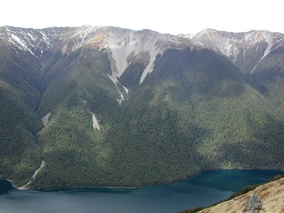
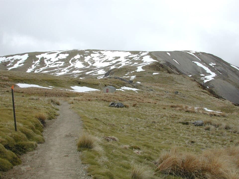
Go for the view, not a roadside stopLake Rotoiti View is a named lookout on the lower Pinchgut Track above the lake’s western shore.

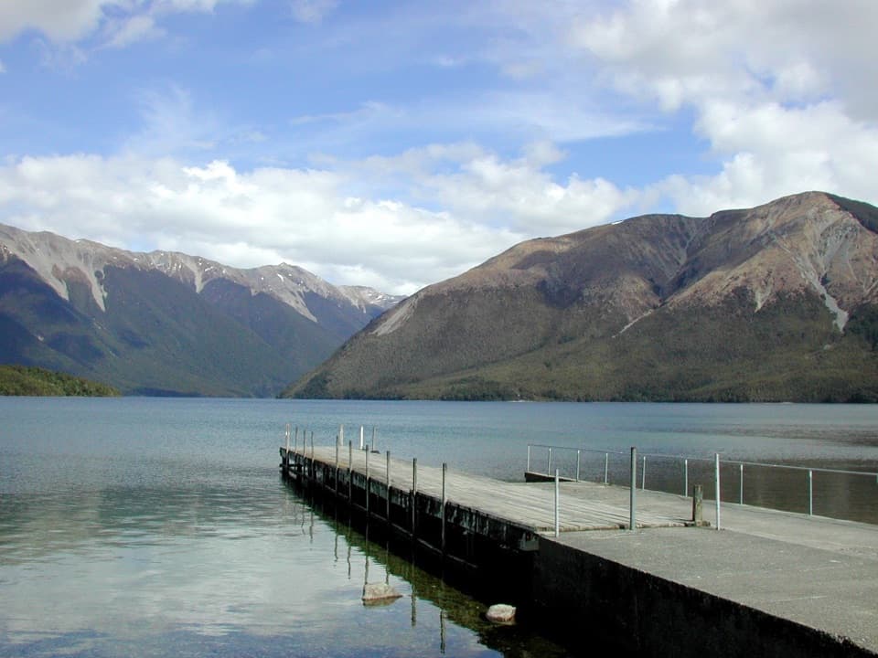
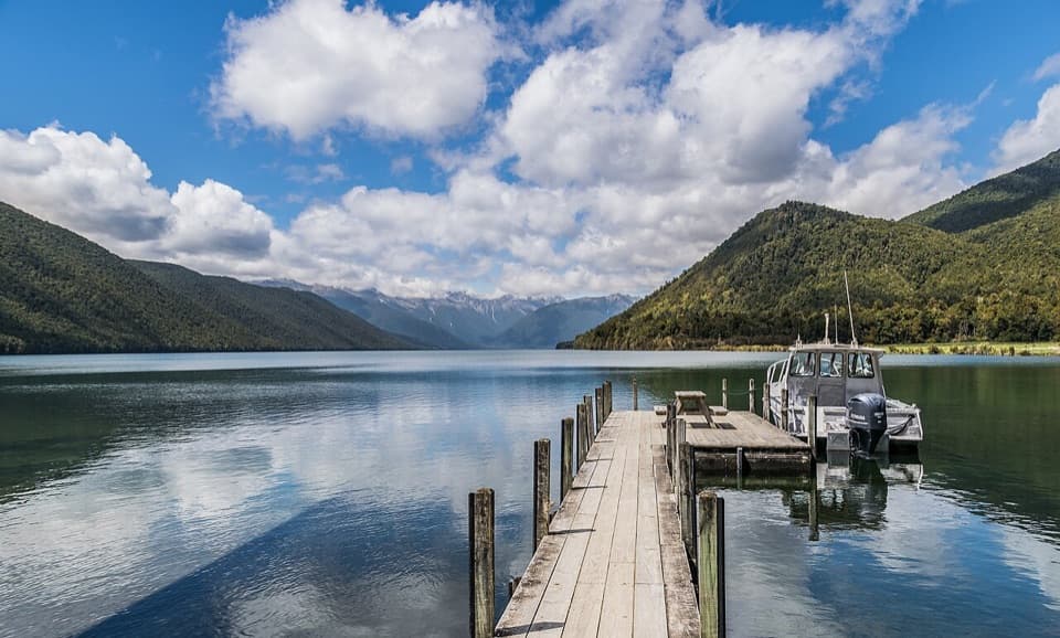
Lake Rotoiti View is a named lookout on the lower Pinchgut Track above the lake’s western shore. From the open ridge, you look across West Bay and Kerr Bay, with Brunner Peninsula between them and forested ranges behind. This is an uphill walk from the Mount Robert road end, not a viewpoint beside your car.

Read the lake from the ridgeLook for the St Arnaud Range to the east and the Buller River valley to the west; the road…

Look for the St Arnaud Range to the east and the Buller River valley to the west; the road winding up from St Arnaud is visible too. For a photo, keep Brunner Peninsula between the two stretches of water so the lake’s split shape reads clearly.

Keep the outing smallPinchgut Track starts at the Mount Robert road-end car park, and the viewpoint lies farther…

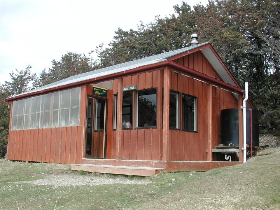
Pinchgut Track starts at the Mount Robert road-end car park, and the viewpoint lies farther along it. Allow for a climb rather than treating this as a quick car stop. The Mount Robert Circuit is a separate 9 km, five-hour advanced loop; you do not need to take on the full circuit to visit the view.

Before you set outMount Robert Road is unsealed; after turning off SH 63, continue 4.

Mount Robert Road is unsealed; after turning off SH 63, continue 4.9 km to the car park at the end. A toilet is reported at the car park, and there is room to sit at the viewpoint. The road gate closes when the road is icy, and cold conditions can happen here at any time of year.

Wildlife

Wildlife in Nelson Lakes

All Nelson Lakes wildlife maps

Sighting maps show where each species has been reported across Nelson Lakes. Wildlife moves, so no sighting is guaranteed.

Keep exploring

Near Lake Rotoiti View

See it all on the map

Trails nearby

More stops nearby

Parkwolf’s Nelson Lakes ranking

Top sights in Nelson Lakes

All 47 places
  1. 1Lake Rotoiti – Kerr Bay and JettySight
  2. 2Rotomairewhenua / Blue LakeSight
  3. 3Lake Rotoroa – Foreshore and JettySight
  4. 4Rotomaninitua / Lake AngelusSight
  5. 5Rotopōhueroa / Lake ConstanceSight
  6. 6Whisky FallsSight

Take Parkwolf to Nelson Lakes.

The audio tour guide for the drive, plus offline maps, trails, and wildlife heatmaps for when the signal drops.

4.7 from 8,600+ ratings

Download Parkwolf on the App StoreGet Parkwolf on Google Play