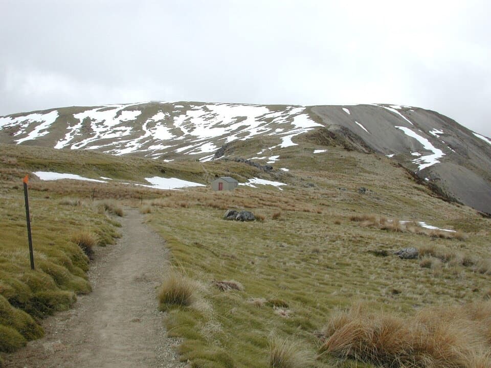
Relax Shelter in Nelson Lakes National Park

Sight · Nelson Lakes National Park

Relax Shelter

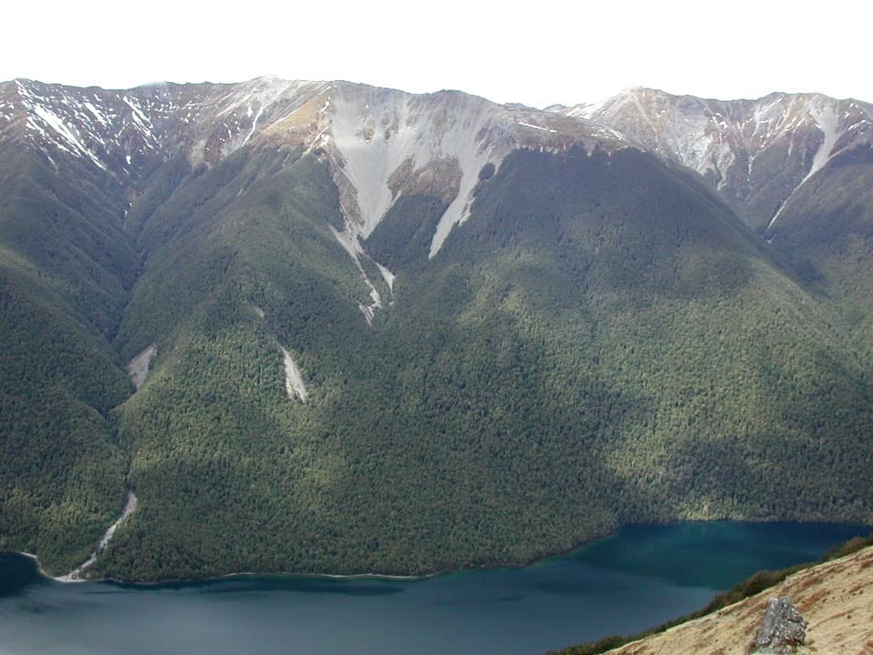
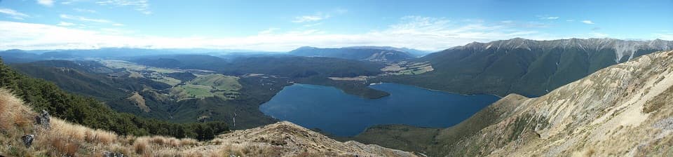
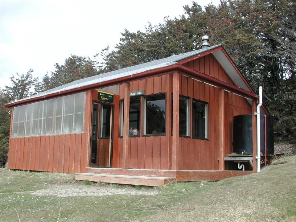
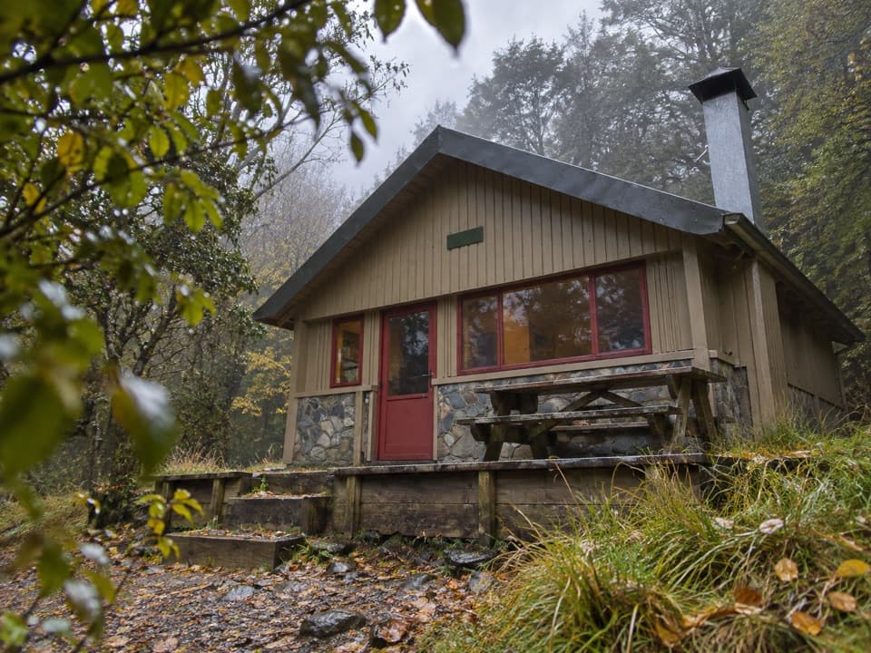
A small ridge shelter reached above the bushline on Mount Robert.

Photo: Public Domain
Type
Sight
Nearest trail
1.4 km
Audio stories
2 nearby
  • Scenic viewpoint

Hear the audio tour

Mount Robert: Views on Foot

Overview

About Relax Shelter

Why stop

  • A useful pause where the forest gives way to exposed ridge.

Heads up

  • Getting here takes a steep climb, not a quick roadside stop.

Map

Where it is

Loading the Nelson Lakes map
Full map
SightRelax Shelter-41.83499, 172.80915
Keep this map with you offline in the Parkwolf app

Plan your stop

Before you go

Getting there

You reach it on foot via the Mount Robert Circuit. Pinchgut Track climbs steeply through beech forest; the bush edge comes after about an hour and a half, with the shelter a short way farther along the exposed ridge. The whole circuit is 9 km, and five hours is a sensible allowance. Paddy’s Track branches just beyond the shelter toward Bushline Hut and back down to Mount Robert Road. Wind can pick up on the ridge, so this is a good place to stop and add a warm layer.

3 active Nelson Lakes alerts

  • ClosureRotoroa Route permanently closedThe Rotoroa Route is permanently closed along the eastern side of Lake Rotoroa between Rotoroa village and Sabine Hut.Official details
  • CautionUnbridged stream between Sabine and D’Urville hutsThe bridge on the track between Sabine Hut and D’Urville Hut has been removed; trampers must cross an unbridged stream at GR E1571366 N5359831.Official details
See all 3 alerts
A park ranger sits on a dash-mounted phone, talking, as Parkwolf’s Tour Guide plays “Army Cutworm Moths: A Grizzly Bear Buffet” on Grand Loop Road below Dunraven Pass in Yellowstone
Parkwolf Tour GuideThe highest, rockiest slopes around here are a summer buffet for grizzly bears.

Nelson Lakes Tour Guide

Your drive to Relax Shelter, narrated.

Parkwolf is a GPS audio tour guide for Nelson Lakes National Park. As you drive, it chimes in with what’s ahead: hidden gems, upcoming stops, history, geology, and wildlife, right through your car’s speakers.

Recorded for this place

Mount Robert: Views on Foot
0:00 / 0:27
“The Mount Robert trailheads are coming up, where the lake lookout takes an uphill walk from the car park.”

Plays as you drive up to Relax Shelter in the Parkwolf Nelson Lakes Tour Guide.

More stories near here in the app

  • Lakeside Track to Whisky Falls
  • Buller Bridge and Anglers Walk
  • West Bay, Lake Rotoiti
  • Nelson Lakes Visitor Centre
  • 26 audio storiesacross Nelson Lakes’s roads, triggered by GPS as you drive
  • Wildlife heatmapsfor New Zealand Falcon, Weka, Kererū, and 13 more
  • Works offlinemaps, 57 trails, 47 places, and audio download before you lose signal
  • CarPlay readysimple controls built for the drive
★★★★★
“Fantastic app with many points of information… It’s great to just turn on while you’re driving and it gives you an audio tour of the national Park. We love it!!!!”
JMJamesApp Store review
Download Parkwolf on the App StoreGet Parkwolf on Google Play

4.7 from 8,600+ ratings

Guide

More about Relax Shelter

A pause on the ridgeRelax Shelter is a small shelter on Mount Robert’s open ridge, just above the bushline in…

Relax Shelter is a small shelter on Mount Robert’s open ridge, just above the bushline in Nelson Lakes National Park. It’s a useful lunch and weather stop after the Pinchgut climb. Treat it as a day shelter, not an overnight destination; Bushline Hut is a separate stop farther along the track.

A ski-era shelterNelson Ski Club built the shelter when people skied in the basin.

Nelson Ski Club built the shelter when people skied in the basin. A 2021 description of the interior notes benches along both sides and one window, though its present condition hasn’t been confirmed. A water tank and toilet have also been reported behind the building, but their current condition and the tank’s water treatment aren’t established; don’t count on it for drinking water.

The open tussock ridgeFire changed these slopes: beech forest burned on Pourangahau in 1887, and erosion later left…

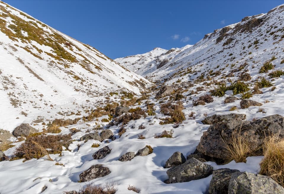
Fire changed these slopes: beech forest burned on Pourangahau in 1887, and erosion later left scarps and scree. Sheep grazing and occasional controlled burns kept the northern face open for years afterward. Higher on the ridge, snow tussock, subalpine shrubs and alpine herbs replace the forest; red tussock here is habitat for native tussock butterflies.

Wildlife

Wildlife in Nelson Lakes

All Nelson Lakes wildlife maps

Sighting maps show where each species has been reported across Nelson Lakes. Wildlife moves, so no sighting is guaranteed.

Keep exploring

Near Relax Shelter

See it all on the map

Trails nearby

More stops nearby

Parkwolf’s Nelson Lakes ranking

Top sights in Nelson Lakes

All 47 places
  1. 1Lake Rotoiti – Kerr Bay and JettySight
  2. 2Rotomairewhenua / Blue LakeSight
  3. 3Lake Rotoroa – Foreshore and JettySight
  4. 4Rotomaninitua / Lake AngelusSight
  5. 5Rotopōhueroa / Lake ConstanceSight
  6. 6Whisky FallsSight

Take Parkwolf to Nelson Lakes.

The audio tour guide for the drive, plus offline maps, trails, and wildlife heatmaps for when the signal drops.

4.7 from 8,600+ ratings

Download Parkwolf on the App StoreGet Parkwolf on Google Play