Parking
Mount Robert car park at the end of Mount Robert Road, 4.9 km from St Arnaud off SH 63. The lot has toilets, an information panel and a small shelter; it can fill on busy weekends. The road gate is locked when icy.
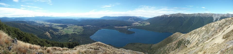
Nelson Lakes National Park, TM
A big climb for Lake Rotoiti views and a high, exposed ridge.
Overview
Map & elevation
Plan your hike

The highest, rockiest slopes around here are a summer buffet for grizzly bears.
Nelson Lakes Tour Guide
Parkwolf is a GPS audio tour guide for Nelson Lakes National Park. As you drive, it chimes in with what’s ahead: hidden gems, upcoming stops, history, geology, and wildlife, right through your car’s speakers.
Recorded for this trailhead
Mount Robert: Views on Foot“The Mount Robert trailheads are coming up, where the lake lookout takes an uphill walk from the car park.”
Plays as you drive up to this trailhead in the Parkwolf Nelson Lakes Tour Guide.
More stories near here in the app
“Fantastic app with many points of information… It’s great to just turn on while you’re driving and it gives you an audio tour of the national Park. We love it!!!!”


Trail guide
Mount Robert–Julius Summit is an out-and-back from Mount Robert car park via Pinchgut Track and Robert Ridge. The mapped walk is about 15.6 km return (7.8 km each way), taking roughly 7 to 8 hours on a steep climb to the 1,794 m summit area. It suits fit, experienced walkers who are comfortable with long climbs and exposed ground. The route to Angelus Hut continues beyond Julius; its 12.2 km figure is for that longer one-way trip, not this return. A separate route record gives 18.2 km return, but the extra distance and turnaround could not be verified. The mapped line comes within about 70 m of the summit point; the short rocky scramble to the top is not charted, and some walkers stop below it.
Pinchgut Track starts at the car park, about 880 m above sea level, and climbs steeply through beech forest in long zigzags. Lake Rotoiti appears through the trees as you gain height. Near the Paddys Track junction the forest thins, and the route turns onto open country. Relax Shelter sits along this upper section, a useful place to pause before the ridge. There is no water along the route, so start with everything you need.
Above the bushline the walk changes into a broad, open ridge marked by poles. The ground is tussock, gravel and rock, with uneven stretches that need attention underfoot. Lake Rotoiti and the St Arnaud Range open out below and across the valley. The ridge is exposed to wind and poor visibility at any time of year, so a fine forecast can change quickly once you are up high.
For the lake view, keep some tussock ridge in the foreground; it shows how far the slope drops toward the water.
Julius Summit is at 1,794 m. The pole-marked ridge reaches its summit area before continuing into sharper, rockier ground toward Angelus. The last steps to the actual high point may involve a short scramble: groups have split between people who climbed on and people who stopped below. The line mapped here ends near the summit point, not across unknown ground. If the final rocks feel beyond your comfort, the ridge view is still the main reward, and turning back there is a sensible choice.
Beech forest climbs to roughly 1,400 m, then gives way to snow tussock and alpine herbs. Kea live in this high-country habitat, though a sighting is never guaranteed. The steep valleys, scree and sharp ridge crests are part of a landscape shaped by glacial erosion.
The explorer and geologist Julius von Haast made the first recorded scramble along Robert Ridge in 1860, though he probably was not the first person to travel it. The ridge is part of the route network linking Mount Robert with the Angelus basin; keep the Julius return distinct from the longer through-route unless you have planned the extra distance and overnight logistics.
Drive from St Arnaud along SH 63, then follow Mount Robert Road for 4.9 km to the car park at its end. The car park has toilets, an information panel and a small shelter, and can fill on busy weekends. The road gate is locked when the road is icy. Dogs and other domestic animals are not permitted in the park. From the same car park, the 8.4 km Mount Robert Circuit is a shorter loop via Paddys Track and Bushline Hut; it visits Mount Robert but does not reach Julius Summit. Winter and spring add snow, ice and avalanche hazards to the high ridge.
Wildlife
 20 sightingsNew Zealand FalconMost seen around 9 AMSighting map
 39 sightingsWekaMost seen around 7 AMSighting map
 11 sightingsKererūMost seen around 9 AMSighting map
 55 sightingsBlack SwanMost seen around 8 AMSighting map
 23 sightingsParadise ShelduckMost seen around 6 AMSighting map
 17 sightingsTūīMost seen around 7 AMSighting map
Sighting maps show where each species has been reported across Nelson Lakes. Wildlife moves, so no sighting is guaranteed.
Keep exploring
 ChallengingMount Robert Circuit9 km · 5 hr · At the trailheadA 9 km alpine loop with Lake Rotoiti views and steep climbing.
 ChallengingAngelus Hut via Pinchgut Track and Robert Ridge Route12.2 km · 6 hr · At the trailheadA long, exposed ridge walk to an alpine lakeside hut.
 ChallengingAngelus Hut Circuit via Robert Ridge and Speargrass Track23.4 km · 12 hr · At the trailheadAn exposed ridge to a glacial lake, then back by Speargrass Creek.
 ModerateSpeargrass Track to Speargrass Hut14.6 km · 6 hr · At the trailheadBeech forest gives way to a hut in a tussock clearing.
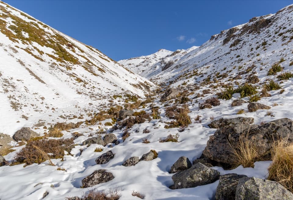 ChallengingAngelus Hut via Speargrass Track and Speargrass Creek Route11.2 km · 6 hr · At the trailheadA demanding creek route to a high alpine lake hut.
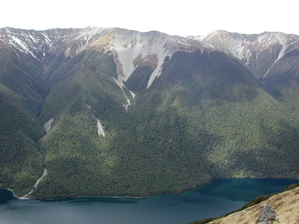 ChallengingBushline Hut via Paddy’s Track8.1 km · 4.5 hr · 0.2 km awayA steep climb to a high hut above Lake Rotoiti.
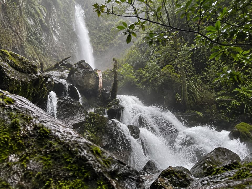 ModerateWhisky Falls via Lakeside Track10.8 km · 3.5 hr · 1.1 km awayA nearly 40 m waterfall wrapped in moss and ferns.
 EasyLakeside Track to Coldwater Hut8.2 km · 2.5 hr · 1.1 km awayA forested lakeshore walk to Coldwater Hut and its jetty.
 Sight · 0.4 km awayLake Rotoiti ViewPinchgut climbs to a wide view of Lake Rotoiti’s two bays.
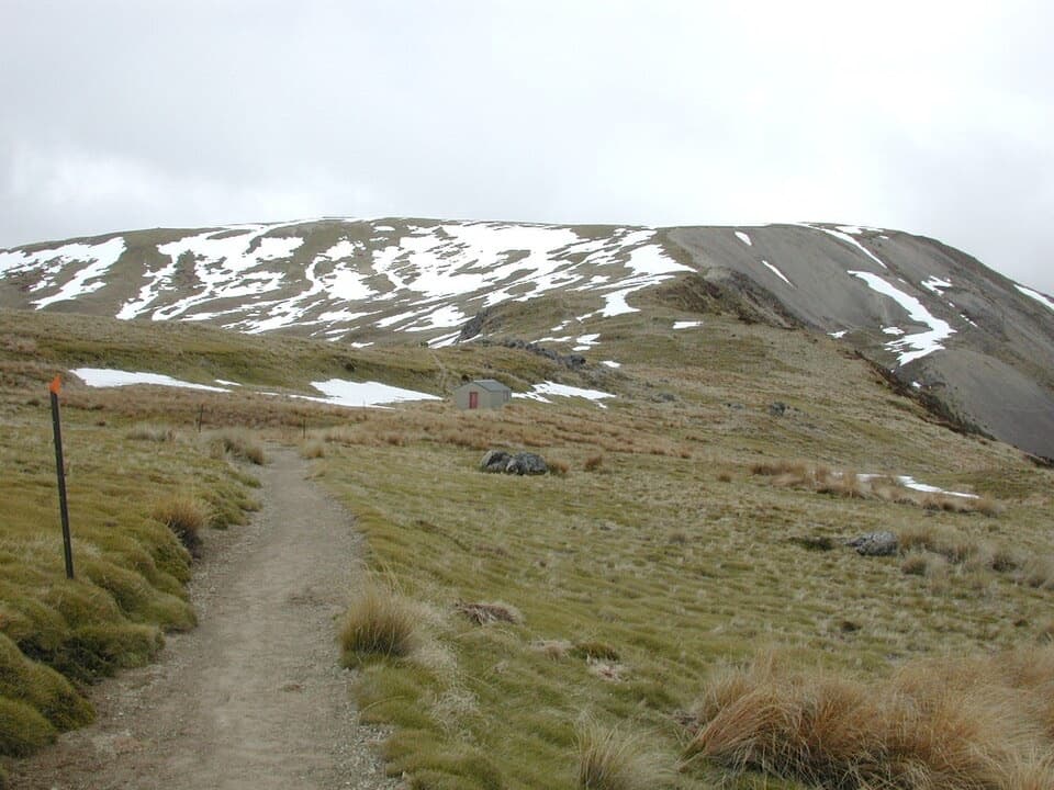 Sight · 1.5 km awayRelax ShelterA small ridge shelter reached above the bushline on Mount Robert.
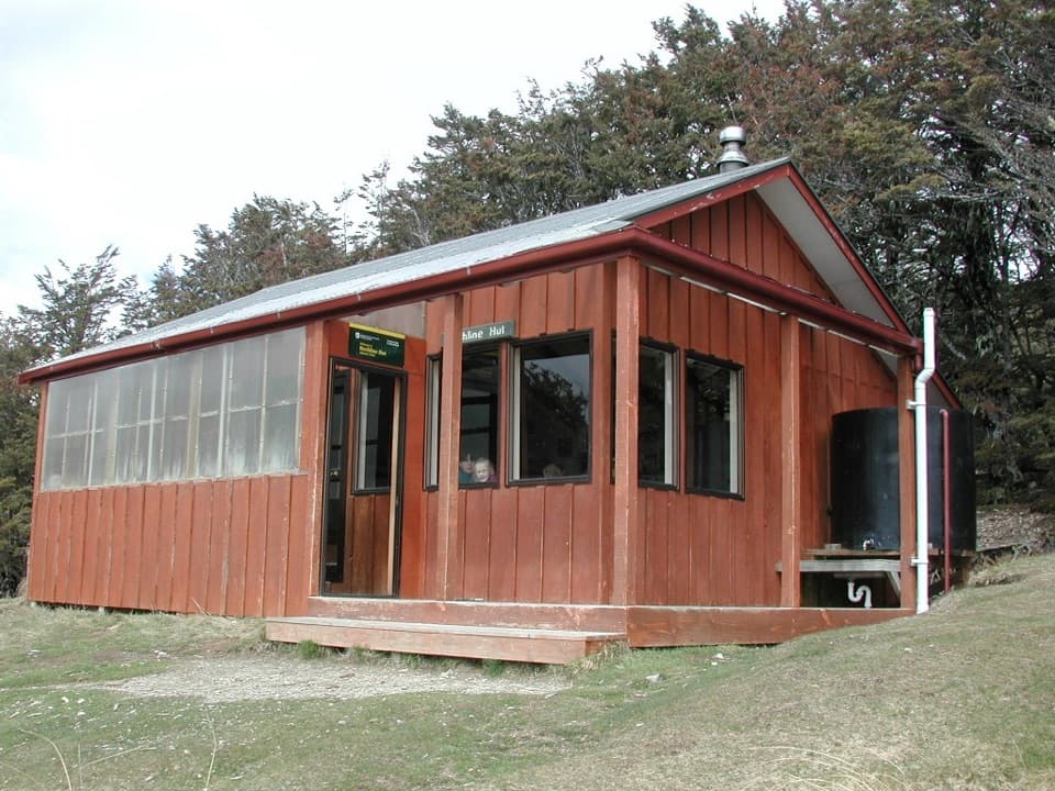 Lodging · 2.1 km awayBushline HutA steady climb earns a hut night above Lake Rotoiti.
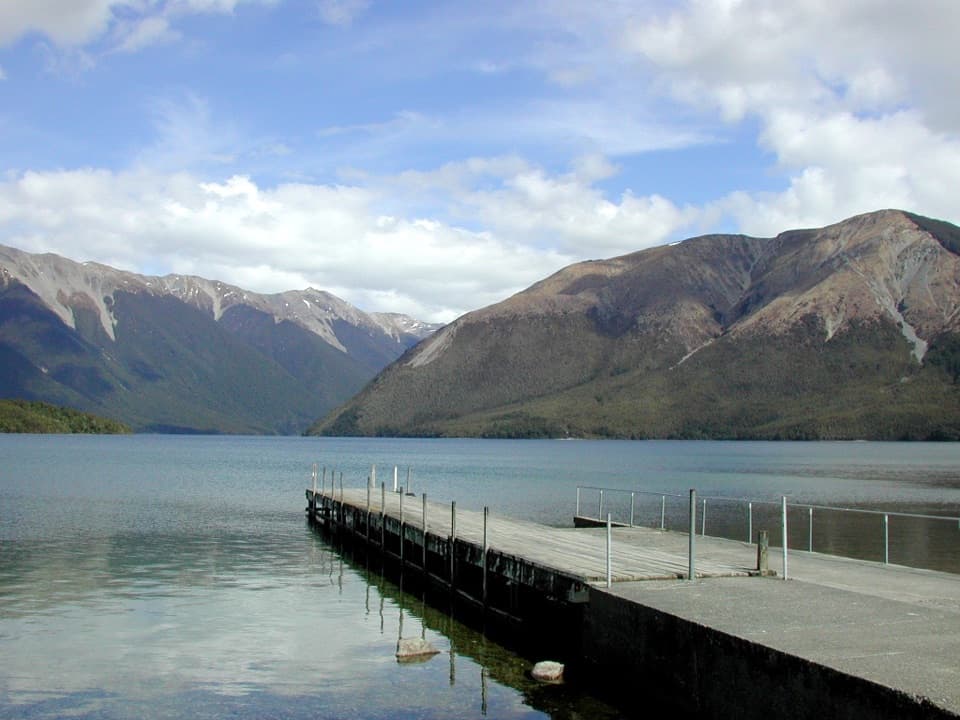 Sight · 2.8 km awayWest Bay, Lake RotoitiShort walks lead from lake views to glacier-shaped ponds.Campground · 3.1 km awayWest Bay CampsiteA quiet, tree-screened base beside Lake Rotoiti.
 Sight · 3.3 km awayWhisky FallsA nearly 40 m waterfall tucked into a glacial hanging valley.
 Sight · 3.4 km awayLake Rotoiti – Kerr Bay and JettyA mountain-framed jetty with eels beneath the water.
 Visitor center · 3.5 km awayNelson Lakes National Park Visitor CentreA good first stop for track advice, maps, and backcountry supplies.
Parkwolf’s Nelson Lakes ranking

The audio tour guide for the drive, plus offline maps, trails, and wildlife heatmaps for when the signal drops.



