Parking
Start at Mount Robert car park at the end of Mount Robert Road. The large lot is shared with other walks and can fill on busy weekends.

Nelson Lakes National Park, TM
Beech forest gives way to a hut in a tussock clearing.
Overview
Map & elevation
Plan your hike

The highest, rockiest slopes around here are a summer buffet for grizzly bears.
Nelson Lakes Tour Guide
Parkwolf is a GPS audio tour guide for Nelson Lakes National Park. As you drive, it chimes in with what’s ahead: hidden gems, upcoming stops, history, geology, and wildlife, right through your car’s speakers.
Recorded for this trailhead
Mount Robert: Views on Foot“The Mount Robert trailheads are coming up, where the lake lookout takes an uphill walk from the car park.”
Plays as you drive up to this trailhead in the Parkwolf Nelson Lakes Tour Guide.
More stories near here in the app
“Fantastic app with many points of information… It’s great to just turn on while you’re driving and it gives you an audio tour of the national Park. We love it!!!!”


Trail guide
Speargrass Track is a 14.6 km (9.1 mi) out-and-back from Mount Robert car park to Speargrass Hut. The one-way walk is 7.3 km and about three hours, so allow around six hours for the return trip. It is an intermediate tramping track: the first part drops gradually through beech forest, then the path follows the valley and climbs back to the hut. I would choose it for a full day in the bush and the hut setting, not for a quick stroll.
From the car park, the track winds through beech forest and in and out of small gullies. It loses height gradually for the first couple of kilometres before reaching Speargrass Creek, also called Te Horowai. The valley-floor stretch is gentler; the walk back to the car park turns that early descent into a steady climb. A short flood-route bypass is mapped nearby; follow DOC markers if you are directed off the main track. Check current track information before setting out.
The track climbs through more beech forest to Speargrass Hut, a 12-bunk serviced hut at about 1,060 m. A boardwalk crosses boggy tussock into the clearing, with Robert Ridge and Speargrass Valley beyond. The hut has mattresses, a wood burner, a long-drop toilet and untreated water that must be boiled. There is no food service, so bring what you need for the walk or an overnight stay. If you stop for a photo, frame the hut with the boardwalk and ridge rather than taking only the building close-up.
This route ends at Speargrass Hut. The Speargrass Creek Route branches just before it and continues toward Angelus Hut over unbridged creek crossings; that is a separate, longer alpine route with a different level of commitment. You do not need to take it to reach Speargrass Hut. Book ahead if you plan to stay overnight, and remember that dogs are not allowed on this track.
Wildlife
 20 sightingsNew Zealand FalconMost seen around 9 AMSighting map
 39 sightingsWekaMost seen around 7 AMSighting map
 11 sightingsKererūMost seen around 9 AMSighting map
 55 sightingsBlack SwanMost seen around 8 AMSighting map
 23 sightingsParadise ShelduckMost seen around 6 AMSighting map
 17 sightingsTūīMost seen around 7 AMSighting map
Sighting maps show where each species has been reported across Nelson Lakes. Wildlife moves, so no sighting is guaranteed.
Keep exploring
 ChallengingMount Robert Circuit9 km · 5 hr · At the trailheadA 9 km alpine loop with Lake Rotoiti views and steep climbing.
 ChallengingAngelus Hut via Pinchgut Track and Robert Ridge Route12.2 km · 6 hr · At the trailheadA long, exposed ridge walk to an alpine lakeside hut.
 ChallengingAngelus Hut Circuit via Robert Ridge and Speargrass Track23.4 km · 12 hr · At the trailheadAn exposed ridge to a glacial lake, then back by Speargrass Creek.
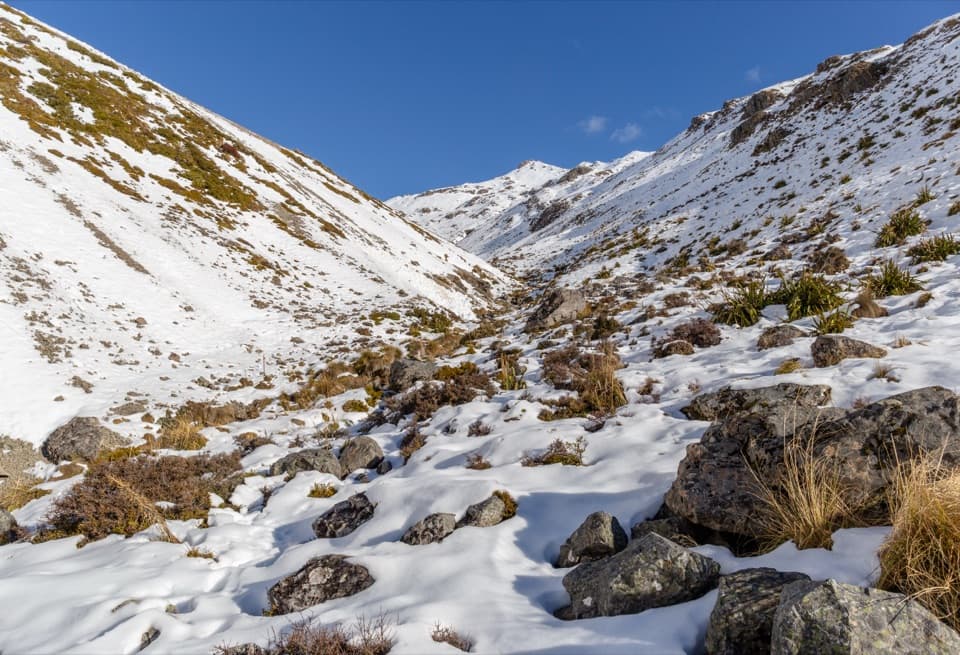 ChallengingAngelus Hut via Speargrass Track and Speargrass Creek Route11.2 km · 6 hr · At the trailheadA demanding creek route to a high alpine lake hut.
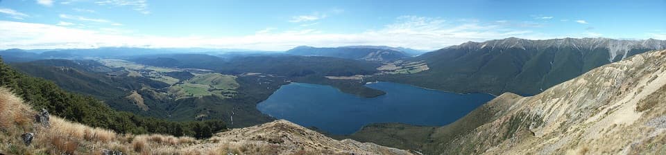 ChallengingMount Robert–Julius Summit15.6 km · 7.5 hr · At the trailheadA big climb for Lake Rotoiti views and a high, exposed ridge.
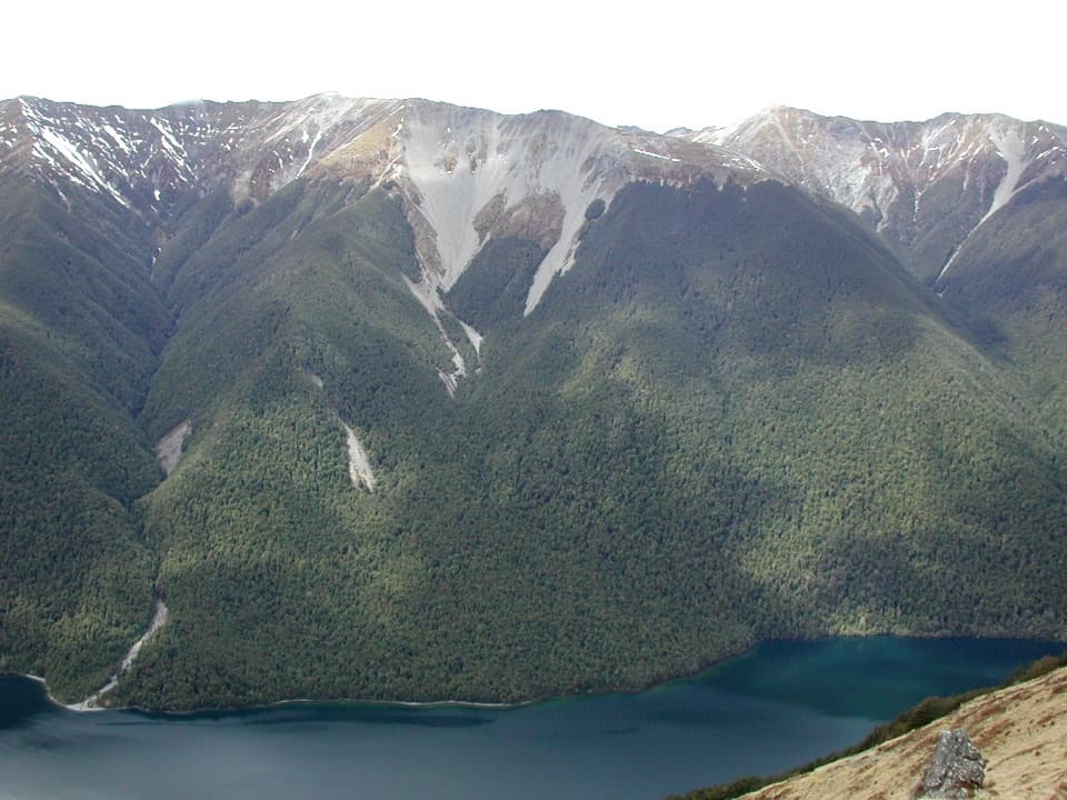 ChallengingBushline Hut via Paddy’s Track8.1 km · 4.5 hr · 0.2 km awayA steep climb to a high hut above Lake Rotoiti.
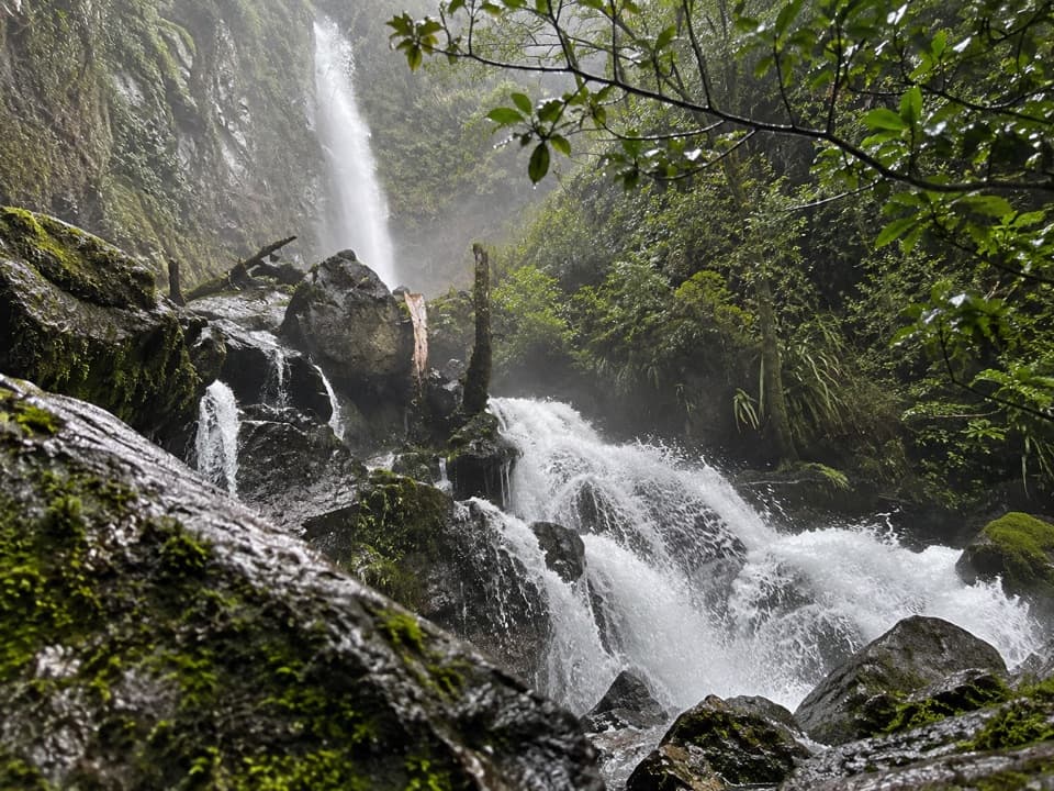 ModerateWhisky Falls via Lakeside Track10.8 km · 3.5 hr · 1.1 km awayA nearly 40 m waterfall wrapped in moss and ferns.
 EasyLakeside Track to Coldwater Hut8.2 km · 2.5 hr · 1.1 km awayA forested lakeshore walk to Coldwater Hut and its jetty.
 Sight · 0.4 km awayLake Rotoiti ViewPinchgut climbs to a wide view of Lake Rotoiti’s two bays.
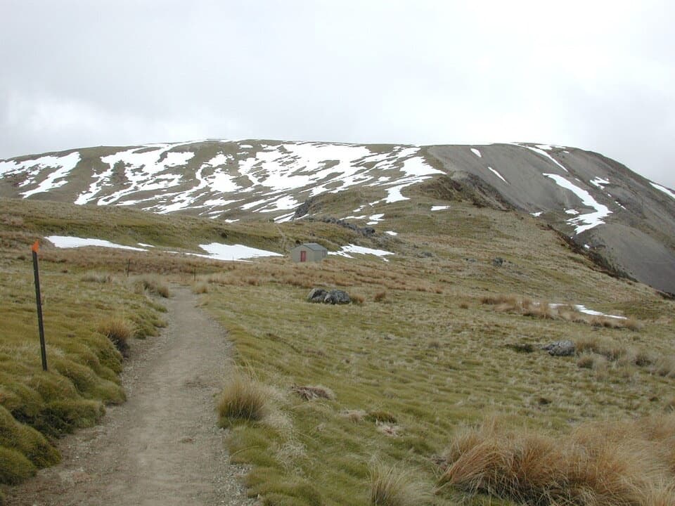 Sight · 1.5 km awayRelax ShelterA small ridge shelter reached above the bushline on Mount Robert.
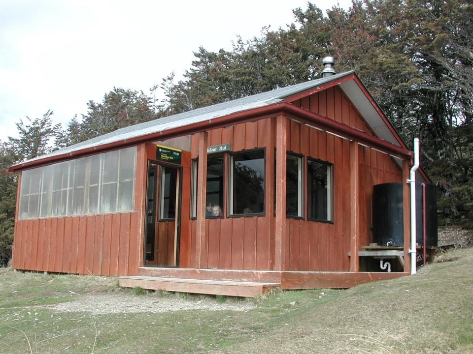 Lodging · 2.1 km awayBushline HutA steady climb earns a hut night above Lake Rotoiti.
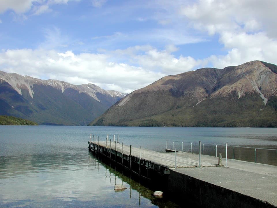 Sight · 2.8 km awayWest Bay, Lake RotoitiShort walks lead from lake views to glacier-shaped ponds.Campground · 3.1 km awayWest Bay CampsiteA quiet, tree-screened base beside Lake Rotoiti.
 Sight · 3.3 km awayWhisky FallsA nearly 40 m waterfall tucked into a glacial hanging valley.
 Sight · 3.4 km awayLake Rotoiti – Kerr Bay and JettyA mountain-framed jetty with eels beneath the water.
 Visitor center · 3.5 km awayNelson Lakes National Park Visitor CentreA good first stop for track advice, maps, and backcountry supplies.
Parkwolf’s Nelson Lakes ranking

The audio tour guide for the drive, plus offline maps, trails, and wildlife heatmaps for when the signal drops.



