Parking
Coldwater Hut has no road access. From St Arnaud, it is a 12 km, about four-hour walk to Coldwater Hut; the mapped route starts there.

Nelson Lakes National Park, TM
A demanding alpine route to Angelus Hut beside a glacial tarn.
Overview
From Coldwater Hut, this is a 9.4 km (5.8 mi) one-way point-to-point tramp to Angelus Hut on the shore of Lake Angelus. DOC allows six hours each way. The route climbs from about 620 m in the Travers Valley to a 1,650 m alpine basin; the last push above the bush edge is steep. This suits fit, experienced trampers looking for a serious hut approach. If you turn around at Angelus, you are signing up for 18.8 km and roughly 12 hours on foot, so an overnight stay makes more sense for most people. Book a bunk before you go; Angelus Hut requires bookings year-round.
 Parkwolf’s verdictIs this the route for you?
Map & elevation
Plan your hike

The highest, rockiest slopes around here are a summer buffet for grizzly bears.
Nelson Lakes Tour Guide
Parkwolf is a GPS audio tour guide for Nelson Lakes National Park. As you drive, it chimes in with what’s ahead: hidden gems, upcoming stops, history, geology, and wildlife, right through your car’s speakers.
More stories near here in the app
“Fantastic app with many points of information… It’s great to just turn on while you’re driving and it gives you an audio tour of the national Park. We love it!!!!”


Trail guide
Coldwater Hut is the start of this route, not a road-end trailhead. From St Arnaud, reaching the hut is another 12 km and about four hours on foot. From Coldwater, follow the Travers approach for about two hours to the Cascade Track junction. DOC also describes a Lakehead Hut approach to the same junction, but that route crosses the unbridged Travers River; the line here follows the Coldwater version.
At the junction, turn onto Cascade Track. DOC allows about four hours for the steady climb alongside Hukere Stream. The track ends at the bush edge, where the route leaves the formed path and continues on poles and cairns. Hukere means “cascading waters,” a good fit for the stream beside this long climb.
The crossing deserves respect. The bridge over Hukere Stream is removed from May to November because of avalanche risk. After rain or snowmelt, DOC warns that crossing the river can be difficult. This is a recurring seasonal issue, not a place to push on when the water is high.
From the end of the track, follow the steep poled route to Angelus Hut. Poles and cairns mark the way, but snow or cloud can hide them. DOC warns that the alpine routes can change quickly, with snow, ice, avalanche terrain and sub-zero temperatures. Winter and spring need alpine skills and the right equipment; allow extra time in those conditions, when this route can take up to nine hours one way.
Angelus Hut sits at 1,650 m beside Lake Angelus. DOC describes the lake as a large alpine pond or tarn shaped by recent ice advances. In most years the basin freezes and snow covers the routes from May to October, so a summer lake photograph gives only one version of this place.
The serviced hut has 28 bunks, toilets and mattresses. Its water comes from the lake and must be treated; from May to October, hut water and firewood may not be available. There is no dog access in the national park. If you are staying, confirm the hut booking and current facilities before you leave St Arnaud.
The valley has a travel history older than its marked tracks and huts. DOC’s park history notes that Māori knowledge of pathways and bushcraft helped early European explorer-surveyors enter the Nelson interior. In the 1840s, William Fox travelled with Māori guide Kehu and continued up the Travers Valley. That is valley history, not evidence that today’s marked Cascade route follows their exact line.
Wildlife
 20 sightingsNew Zealand FalconMost seen around 9 AMSighting map
 39 sightingsWekaMost seen around 7 AMSighting map
 11 sightingsKererūMost seen around 9 AMSighting map
 55 sightingsBlack SwanMost seen around 8 AMSighting map
 23 sightingsParadise ShelduckMost seen around 6 AMSighting map
 17 sightingsTūīMost seen around 7 AMSighting map
Sighting maps show where each species has been reported across Nelson Lakes. Wildlife moves, so no sighting is guaranteed.
Keep exploring
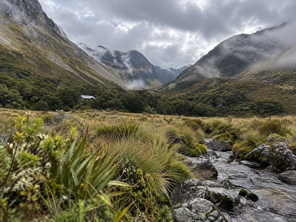 ChallengingTravers Valley Track to Upper Travers Hut20.9 km · 8 hr · 0.7 km awayA demanding valley approach to Upper Travers Hut.
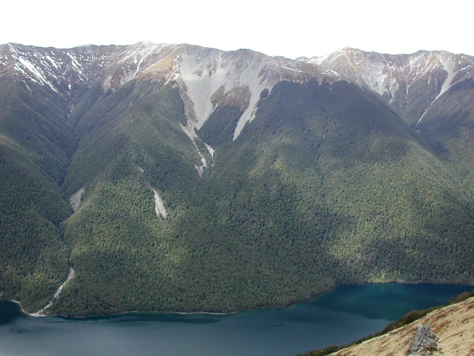 ChallengingBushline Hut via Paddy’s Track8.1 km · 4.5 hr · 5.4 km awayA steep climb to a high hut above Lake Rotoiti.
 ChallengingMount Robert Circuit9 km · 5 hr · 5.5 km awayA 9 km alpine loop with Lake Rotoiti views and steep climbing.
 ChallengingAngelus Hut via Pinchgut Track and Robert Ridge Route12.2 km · 6 hr · 5.5 km awayA long, exposed ridge walk to an alpine lakeside hut.ChallengingAngelus Hut Circuit via Robert Ridge and Speargrass Track23.4 km · 12 hr · 5.5 km awayAn exposed ridge to a glacial lake, then back by Speargrass Creek.
 ModerateSpeargrass Track to Speargrass Hut14.6 km · 6 hr · 5.5 km awayBeech forest gives way to a hut in a tussock clearing.
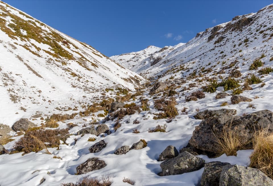 ChallengingAngelus Hut via Speargrass Track and Speargrass Creek Route11.2 km · 6 hr · 5.5 km awayA demanding creek route to a high alpine lake hut.
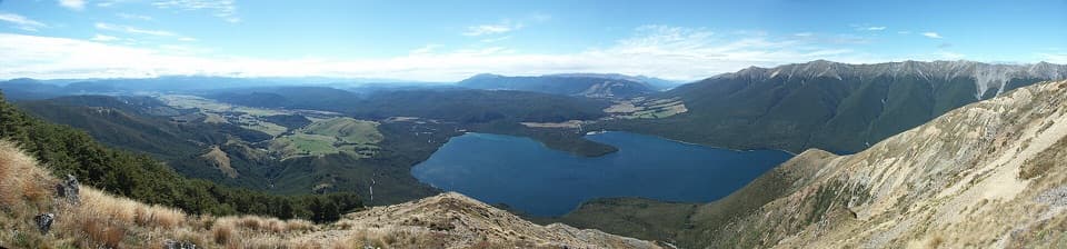 ChallengingMount Robert–Julius Summit15.6 km · 7.5 hr · 5.5 km awayA big climb for Lake Rotoiti views and a high, exposed ridge.
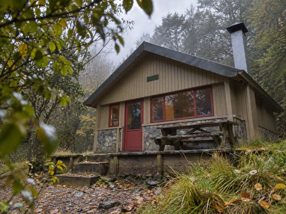 Lodging · At the trailheadColdwater HutA 12-bunk lakeside hut for a proper tramping overnight.
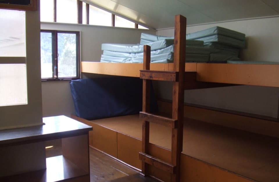 Lodging · 0.7 km awayLakehead HutA hut at Rotoiti’s head, reached by trail or water taxi.
 Sight · 2.6 km awayWhisky FallsA nearly 40 m waterfall tucked into a glacial hanging valley.
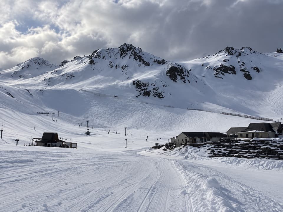 Sight · 3.7 km awayRainbow Ski AreaA club-run ski field with 218 m of lift-served vertical.
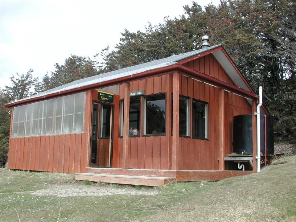 Lodging · 3.8 km awayBushline HutA steady climb earns a hut night above Lake Rotoiti.
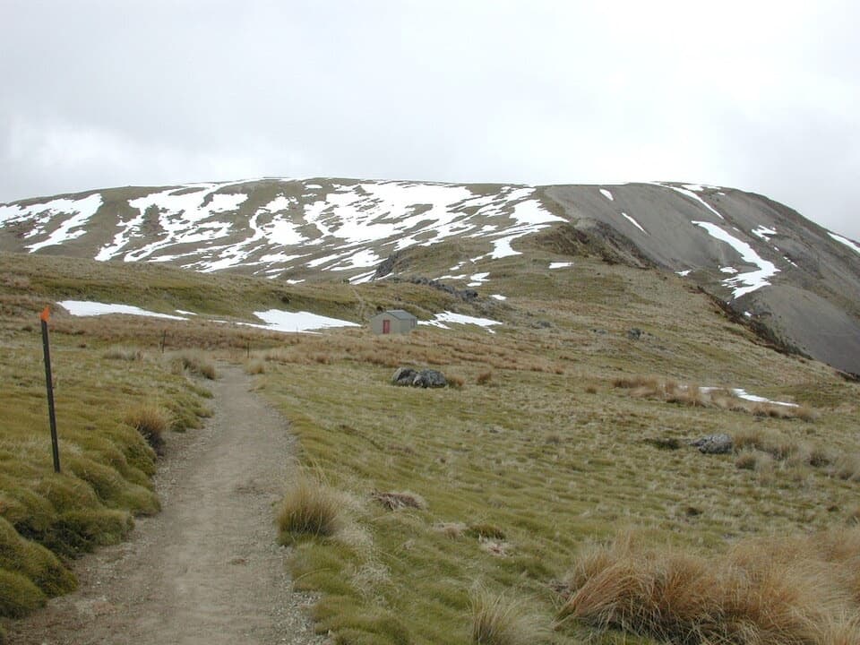 Sight · 4 km awayRelax ShelterA small ridge shelter reached above the bushline on Mount Robert.
 Sight · 5.1 km awayLake Rotoiti ViewPinchgut climbs to a wide view of Lake Rotoiti’s two bays.Lodging · 5.7 km awaySpeargrass HutA booked 12-bunk hut reached through forest to a tussock clearing.
Parkwolf’s Nelson Lakes ranking
The audio tour guide for the drive, plus offline maps, trails, and wildlife heatmaps for when the signal drops.



