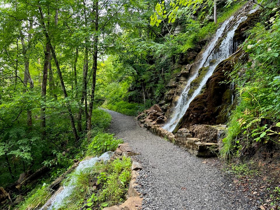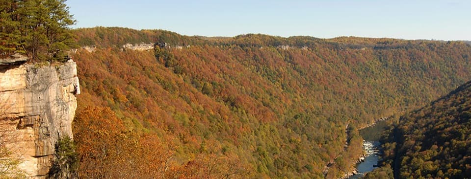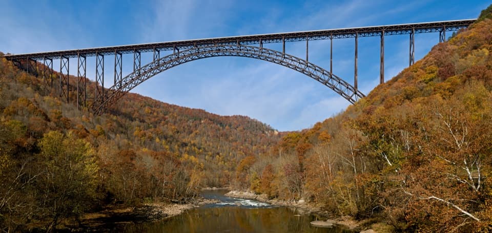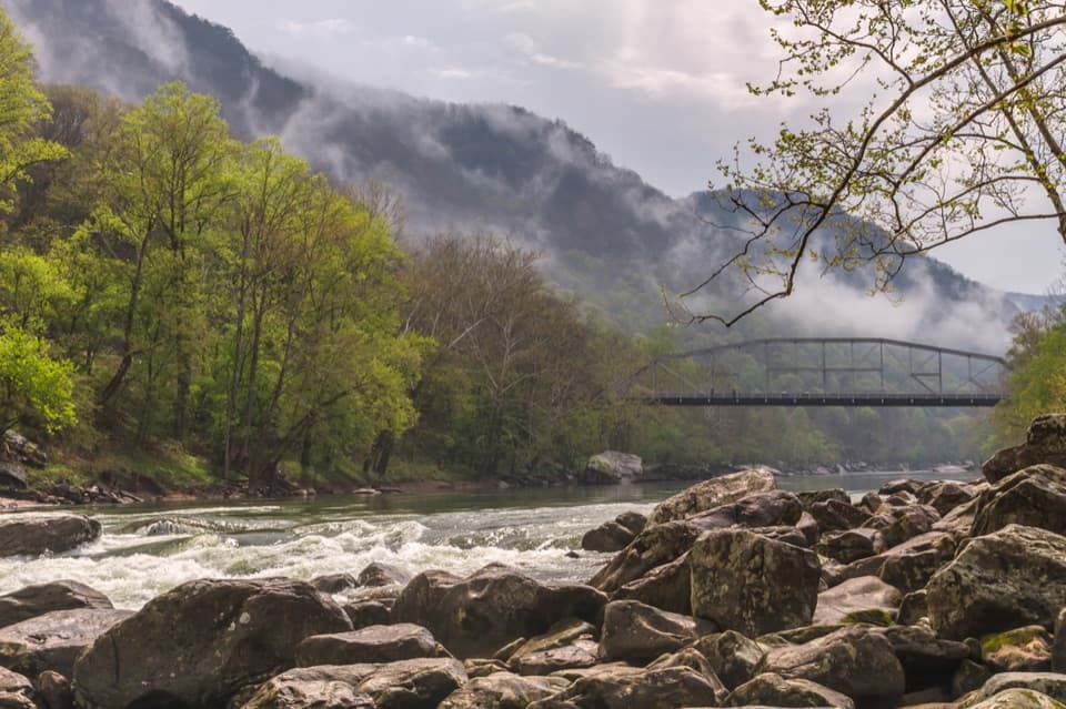
Burnwood Day Use Area and Group Campsite in New River Gorge National Park

Picnic area · New River Gorge National Park

Burnwood Day Use Area and Group Campsite

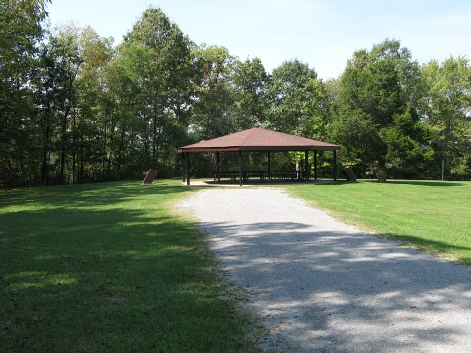
A picnic pavilion by Canyon Rim with a permit-only group campsite.

Photo: National Park Service
Type
Picnic area
Nearest trail
Right here
Audio stories
11 nearby
  • Campground
  • Parking
  • Picnic tables
  • Restrooms

Hear the audio tour

Burnwood's Picnic Area and Old Trees

Overview

About Burnwood Day Use Area and Group Campsite

Why stop

  • The pavilion and open field make group gatherings easy.

Heads up

  • US-19 traffic noise can carry into the campsite.

Map

Where it is

Loading the New River Gorge map
Full map
Picnic areaBurnwood Day Use Area and Group Campsite38.07364, -81.07753
Keep this map with you offline in the Parkwolf app

Plan your stop

Before you go

Getting there and camping

From Canyon Rim, carefully cross US-19 and continue uphill to the gravel lot. Group camping is limited to parties of eight or more and requires a Special Use Permit; allow at least ten business days for the permit process. Traffic noise from US-19 can carry into the open field.

5 active New River Gorge alerts

  • ClosureRend and Church Loop trails closedRend Trail is closed from both trailheads through approximately December 2027; Church Loop Trail is also closed because its only access is from Rend.Official details
  • ClosureKaymoor Miners Trail weekday closureThe upper Kaymoor Miners Trail is closed Monday–Thursday through November 19 for trail rehabilitation.Official details
See all 5 alerts
A park ranger sits on a dash-mounted phone, talking, as Parkwolf’s Tour Guide plays “Army Cutworm Moths: A Grizzly Bear Buffet” on Grand Loop Road below Dunraven Pass in Yellowstone
Parkwolf Tour GuideThe highest, rockiest slopes around here are a summer buffet for grizzly bears.

New River Gorge Tour Guide

Your drive to Burnwood Day Use Area and Group Campsite, narrated.

Parkwolf is a GPS audio tour guide for New River Gorge National Park. As you drive, it chimes in with what’s ahead: hidden gems, upcoming stops, history, geology, and wildlife, right through your car’s speakers.

See the New River Gorge audio tour

Recorded for this place

Burnwood's Picnic Area and Old Trees
0:00 / 0:29
“Burnwood's picnic area is up ahead, across the highway from Canyon Rim Visitor Center.”

Plays as you drive up to Burnwood Day Use Area and Group Campsite in the Parkwolf New River Gorge Tour Guide.

More stories near here in the app

  • Canyon Rim and the Bridge
  • Bridge Walk Beneath the Highway
  • The Otter’s Underwater Whiskers
  • Fayette Station and the Boxer's Bridge
  • 92 audio storiesacross New River Gorge’s roads, triggered by GPS as you drive
  • Wildlife heatmapsfor Black Bear, White-tailed Deer, Pileated Woodpecker, and 13 more
  • Works offlinemaps, 49 trails, 55 places, and audio download before you lose signal
  • CarPlay readysimple controls built for the drive
★★★★★
“Fantastic app with many points of information… It’s great to just turn on while you’re driving and it gives you an audio tour of the national Park. We love it!!!!”
JMJamesApp Store review
Download Parkwolf on the App StoreGet Parkwolf on Google Play

4.7 from 8,600+ ratings

Guide

More about Burnwood Day Use Area and Group Campsite

What you'll findBurnwood Day Use Area is a picnic stop across US-19 from Canyon Rim Visitor Center.

Burnwood Day Use Area is a picnic stop across US-19 from Canyon Rim Visitor Center. Its gravel lot serves a grassy field with a picnic pavilion and tables, a fire ring, flush toilets, and the Burnwood Trailhead. The same site has one group campsite, making this a practical place to gather or start a walk.

The Burnwood TrailThe trail starts beside the pavilion and loops through 12 acres of old-growth forest that…

The trail starts beside the pavilion and loops through 12 acres of old-growth forest that escaped logging around the turn of the 20th century. Some trees date to the 17th century. The route also crosses a former Laing family homesite, moving from previously logged woods through an old field into the older forest. It is a short walk with a clear story of how this patch of land changed.

Wildlife

Wildlife in New River Gorge

All New River Gorge wildlife maps

Sighting maps show where each species has been reported across New River Gorge. Wildlife moves, so no sighting is guaranteed.

Keep exploring

Near Burnwood Day Use Area and Group Campsite

See it all on the map

Trails nearby

More stops nearby

Parkwolf’s New River Gorge ranking

Top sights in New River Gorge

All 55 places
  1. 1New River Gorge BridgeSight
  2. 2Sandstone FallsSight
  3. 3Grandview Main OverlookSight
  4. 4Diamond Point OverlookSight
  5. 5Long Point OverlookSight
  6. 6Nuttallburg Historic SiteSight

Take Parkwolf to New River Gorge.

The audio tour guide for the drive, plus offline maps, trails, and wildlife heatmaps for when the signal drops.

4.7 from 8,600+ ratings

Download Parkwolf on the App StoreGet Parkwolf on Google Play