Parking
From U.S. 19 south of New River Gorge Bridge, turn onto the signed Fayette Station Road. After 0.8 miles, turn right for Bridge Trail parking. Auto parking and a vault or composting toilet are listed at the trailhead.

New River Gorge National Park, WV
Get beneath the New River Gorge Bridge on a short, rocky hike.
Overview
Map & elevation
Plan your hike

The highest, rockiest slopes around here are a summer buffet for grizzly bears.
New River Gorge Tour Guide
Parkwolf is a GPS audio tour guide for New River Gorge National Park. As you drive, it chimes in with what’s ahead: hidden gems, upcoming stops, history, geology, and wildlife, right through your car’s speakers.
See the New River Gorge audio tourRecorded for this trailhead
Bridge Trail Beneath the Span“You're approaching the parking turnoff for Bridge Trail on Fayette Station Road. Choose this woodland hike if you'd like to look up into the steel bracing beneath the New River Gorge Bridge.”
Plays as you drive up to this trailhead in the Parkwolf New River Gorge Tour Guide.
More stories near here in the app
“Fantastic app with many points of information… It’s great to just turn on while you’re driving and it gives you an audio tour of the national Park. We love it!!!!”


Trail guide
Bridge Trail is a 0.86-mile one-way hiking connector from the signed Fayette Station Road parking area to its junction with Fayetteville Trail, passing beneath New River Gorge Bridge. The payoff is a close look at the steel span and gorge from below. Allow about 45 minutes one way; if you turn around at the same parking area, plan on about 1.72 miles and roughly 1½ hours. The path is occasionally steep and rocky, so the climb back takes more effort than the short distance suggests.
The trail passes through forest and arrives beneath the bridge, where its steel bracing fills the view. The New River Gorge Bridge opened in 1977; it stretches 3,030 feet and stands 876 feet above the river. Before it opened, crossing the gorge meant a slow drive down the narrow road below; the bridge cut that crossing from about 40 minutes to less than one. For a photo, frame the bracing above the wooded slope to show the span's scale.
From U.S. 19 south of the bridge, take the signed Fayette Station Road. After 0.8 miles, turn right for Bridge Trail parking. The trailhead has auto parking and a vault or composting toilet, but no drinking water. Dogs are allowed on park trails; keep them on a physical leash no longer than six feet.
Wildlife
 18 sightingsBlack BearMost seen around 7 PMSighting map
 126 sightingsWhite-tailed DeerMost seen around 6 AMSighting map
 25 sightingsPileated WoodpeckerMost seen around 8 AMSighting map
 15 sightingsBarred OwlMost seen around 7 PMSighting map
 14 sightingsWild TurkeyMost seen around 6 AMSighting map
 58 sightingsCopperheadMost seen around 7 PMSighting map
Sighting maps show where each species has been reported across New River Gorge. Wildlife moves, so no sighting is guaranteed.
Keep exploring
 EasyPark Loop Trail1.1 mi · 36 min · 0.9 mi awayAn easy wooded loop you can add at Town Park.
 EasyBurnwood Trail1.2 mi · 1 hr · 1.1 mi awayA short lollipop route through a pocket of old-growth forest.
 ModerateHawks Nest Connector Trail7.4 mi · 2.8 hr · 1.1 mi awayA rocky link from Fayette Station to Hawks Nest rail trail.
 EasyWorkman's Hollow Trail1 mi · 24 min · 1.1 mi awayA quick singletrack link to the Wolf Creek footbridge.
 ModerateCanyon Rim Boardwalk0.3 mi · 24 min · 1.1 mi awayA quick bridge view, with 178 strenuous steps below.
 ModerateKaymoor Trail8.6 mi · 4.5 hr · 1.1 mi awayAn 8.6-mile one-way gorge route past Kaymoor's historic mine.
 ChallengingFayetteville Trail4 mi · 3 hr · 1.1 mi awayA creek crossing links Fayetteville’s trails to Kaymoor.
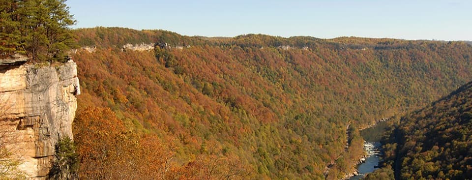 ModerateEndless Wall Trail2.4 mi · 1.8 hr · 2.2 mi awayWalk the New River rim to Diamond Point's high gorge view.
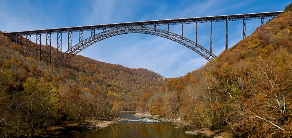 Sight · 0.7 mi awayNew River Gorge BridgeA 3,030-foot steel arch above a river 876 feet below.
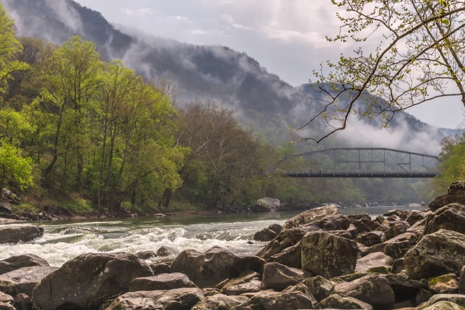 Sight · 0.8 mi awayFayette Station River AccessRapids, two bridges, and the gorge from river level.
 Sight · 1 mi awayCanyon Rim Bridge OverlookTwo decks put the full bridge arch above the river gorge.
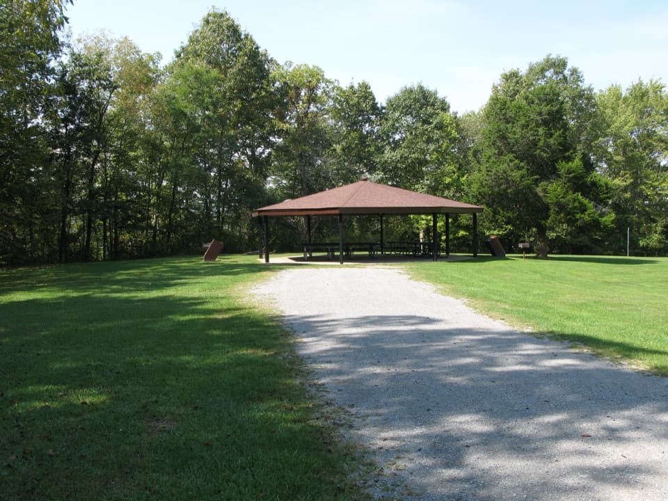 Picnic area · 1 mi awayBurnwood Day Use Area and Group CampsiteA picnic pavilion by Canyon Rim with a permit-only group campsite.
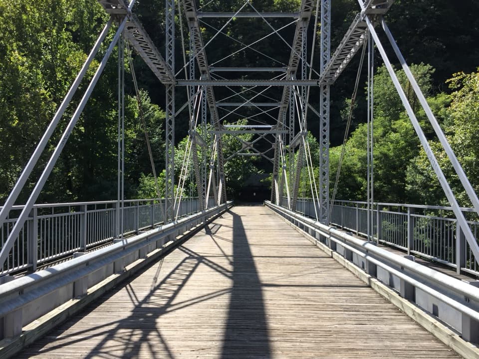 Sight · 1.1 mi awayTunney Hunsaker BridgeA historic lower crossing on Fayette Station Road's one-way gorge drive.
 Visitor center · 1.1 mi awayCanyon Rim Visitor CenterPlan your park visit, then step out to the bridge view.
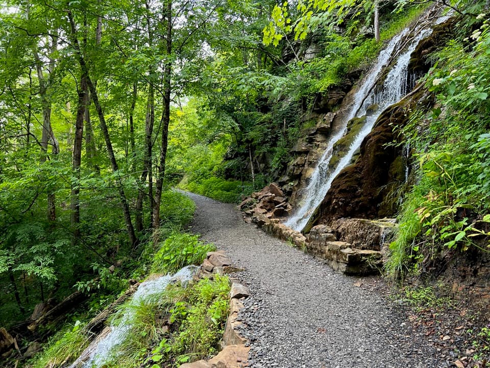
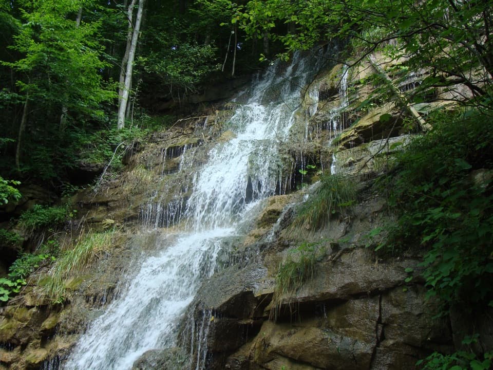 Sight · 1.1 mi awayKaymoor Mine FallsA mossy cascade where mine drainage meets Wolf Creek.
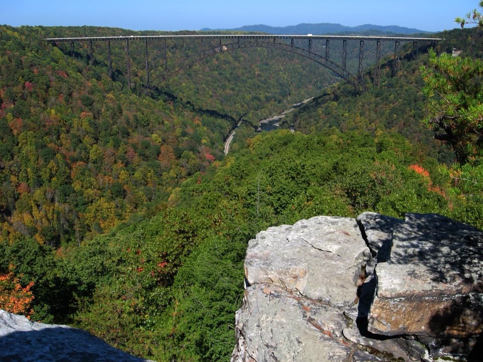 Sight · 1.2 mi awayLong Point OverlookA rough last pitch opens onto the park’s signature bridge view.
Parkwolf’s New River Gorge ranking

The audio tour guide for the drive, plus offline maps, trails, and wildlife heatmaps for when the signal drops.