Parking
From Court Street (WV 16), turn onto Fayette Avenue, then Park Drive. At the Town Park stop sign, continue 0.2 mile and turn right into the trailhead parking driveway.

New River Gorge National Park, WV
An easy wooded loop you can add at Town Park.
Overview
Map & elevation
Plan your hike

The highest, rockiest slopes around here are a summer buffet for grizzly bears.
New River Gorge Tour Guide
Parkwolf is a GPS audio tour guide for New River Gorge National Park. As you drive, it chimes in with what’s ahead: hidden gems, upcoming stops, history, geology, and wildlife, right through your car’s speakers.
See the New River Gorge audio tourRecorded for this area
Why the Bridge Is Brown“The New River Gorge Bridge's reddish-brown color was part of the design. Its builders used a special steel called Cor-ten, which forms a protective outer layer as it weathers.”
Plays on the road 0.5 mi from the trailhead in the Parkwolf New River Gorge Tour Guide.
More stories near here in the app
“Fantastic app with many points of information… It’s great to just turn on while you’re driving and it gives you an audio tour of the national Park. We love it!!!!”


Trail guide
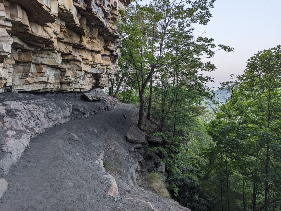
Park Loop Trail is an easy 1.1-mile loop from Fayetteville Town Park, with a short shared stretch on the Fayetteville Trail. It follows a dirt path through hardwood forest. Give it about 30 to 45 minutes at a relaxed pace. This is a good low-commitment walk if you’re already at the park, rather than a big gorge hike.
Start at the trailhead parking driveway off Park Drive. At the junction with Fayetteville Trail, follow either Park Loop marker to stay on the short circuit; the longer trail continues beyond the junction. The route is open to hikers and bicyclists, so watch for other trail users.
The town park has a playground, splash pad, basketball courts, a skatepark and a paved pump track, all separate from the trail itself. Dogs are allowed on a leash.
Wildlife
 18 sightingsBlack BearMost seen around 7 PMSighting map
 126 sightingsWhite-tailed DeerMost seen around 6 AMSighting map
 25 sightingsPileated WoodpeckerMost seen around 8 AMSighting map
 15 sightingsBarred OwlMost seen around 7 PMSighting map
 14 sightingsWild TurkeyMost seen around 6 AMSighting map
 58 sightingsCopperheadMost seen around 7 PMSighting map
Sighting maps show where each species has been reported across New River Gorge. Wildlife moves, so no sighting is guaranteed.
Keep exploring
 EasyWorkman's Hollow Trail1 mi · 24 min · 0.4 mi awayA quick singletrack link to the Wolf Creek footbridge.
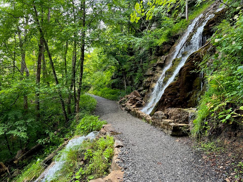 ModerateKaymoor Trail8.6 mi · 4.5 hr · 0.6 mi awayAn 8.6-mile one-way gorge route past Kaymoor's historic mine.
 ChallengingFayetteville Trail4 mi · 3 hr · 0.6 mi awayA creek crossing links Fayetteville’s trails to Kaymoor.
 ModerateBridge Trail0.9 mi · 45 min · 0.9 mi awayGet beneath the New River Gorge Bridge on a short, rocky hike.
 ModerateCanyon Rim Boardwalk0.3 mi · 24 min · 1.2 mi awayA quick bridge view, with 178 strenuous steps below.
 ModerateLong Point Trail3.2 mi · 1.8 hr · 1.3 mi awayThe bridge view repays the forest miles and rocky finish.
 EasyTimber Ridge Trail1 mi · 30 min · 1.3 mi awayA short wooded link into the Fayetteville trail network.
 EasyBurnwood Trail1.2 mi · 1 hr · 1.4 mi awayA short lollipop route through a pocket of old-growth forest.
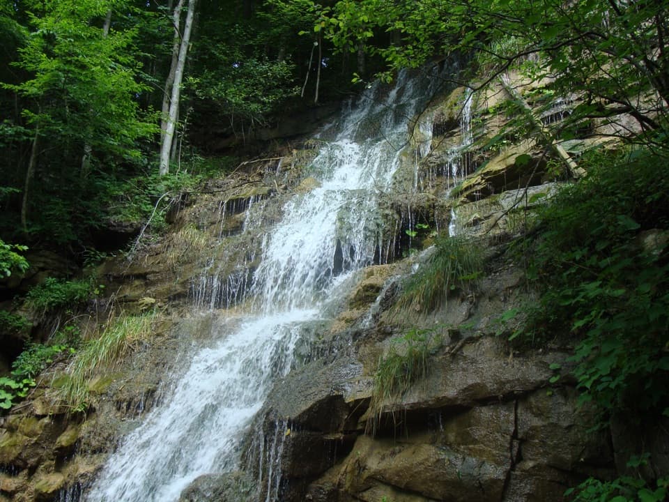 Sight · 0.6 mi awayKaymoor Mine FallsA mossy cascade where mine drainage meets Wolf Creek.
 Restaurant · 0.7 mi awayCathedral CafeA former church turned cafe with towering stained glass.Sight · 0.8 mi awayLong Point OverlookA rough last pitch opens onto the park’s signature bridge view.
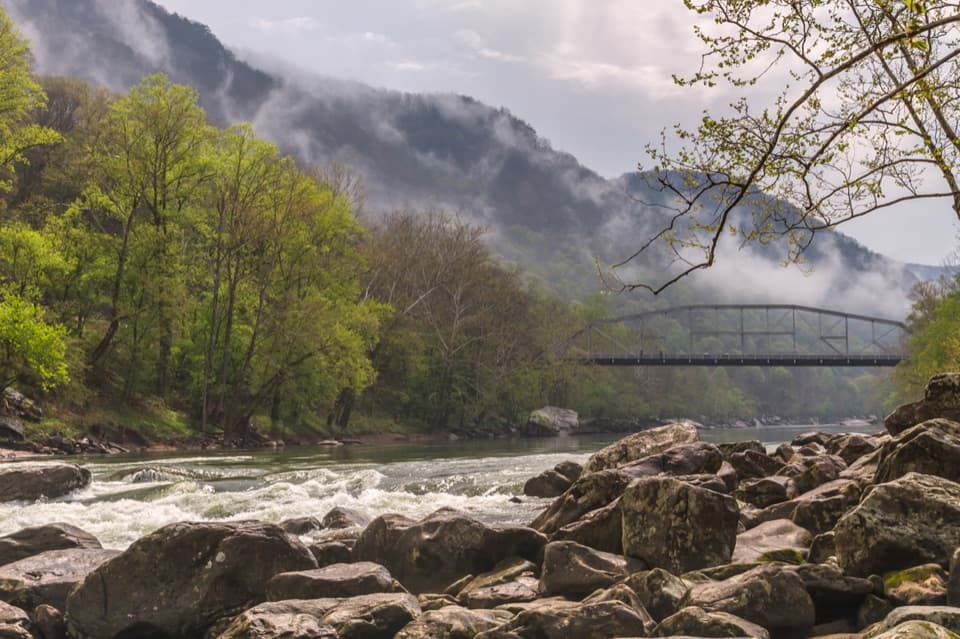 Sight · 0.9 mi awayFayette Station River AccessRapids, two bridges, and the gorge from river level.
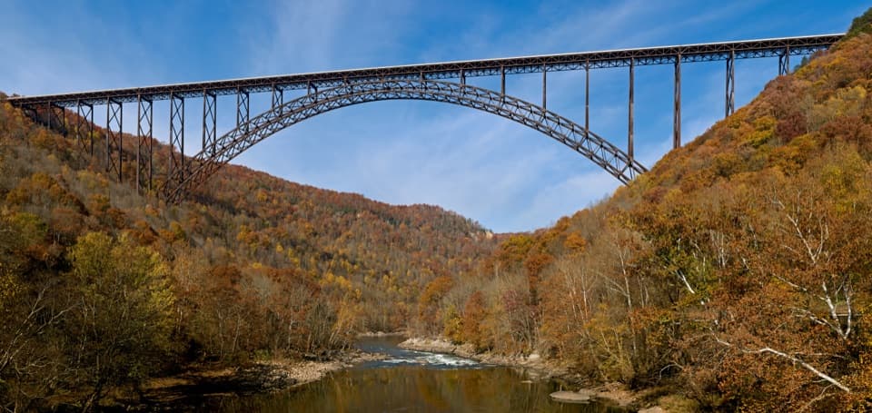 Sight · 0.9 mi awayNew River Gorge BridgeA 3,030-foot steel arch above a river 876 feet below.
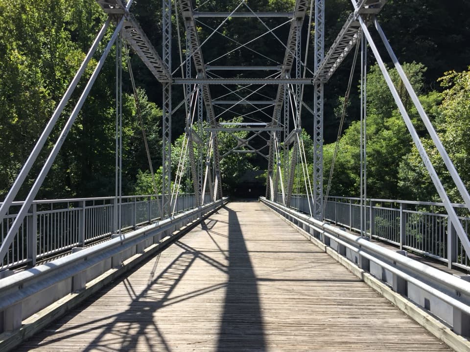 Sight · 0.9 mi awayTunney Hunsaker BridgeA historic lower crossing on Fayette Station Road's one-way gorge drive.
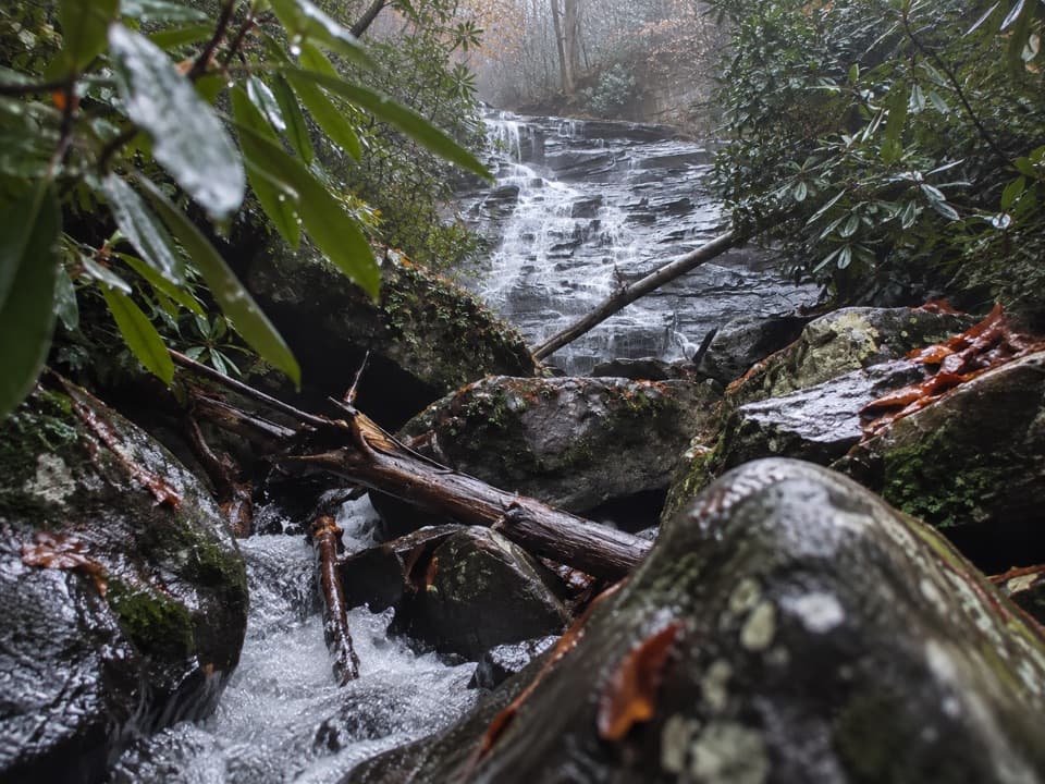 Sight · 1.1 mi awayButcher Branch FallsA close-up waterfall reached by a short, steep spur.
 Sight · 1.2 mi awayCanyon Rim Bridge OverlookTwo decks put the full bridge arch above the river gorge.
Parkwolf’s New River Gorge ranking

The audio tour guide for the drive, plus offline maps, trails, and wildlife heatmaps for when the signal drops.