Parking
From I-64, take exit 133 (Bragg), head north about 0.8 mile, turn left at the church onto Polls Branch Road, and follow it to the parking area at the road end.

New River Gorge National Park, WV
Creek crossings and an old farmstead on a quiet forest loop.
Overview
Map & elevation
Plan your hike

The highest, rockiest slopes around here are a summer buffet for grizzly bears.
New River Gorge Tour Guide
Parkwolf is a GPS audio tour guide for New River Gorge National Park. As you drive, it chimes in with what’s ahead: hidden gems, upcoming stops, history, geology, and wildlife, right through your car’s speakers.
See the New River Gorge audio tourRecorded for this area
A Flame on a Miner's Cap“Before electric headlamps, a coal miner might work by a little flame mounted on his cap. A carbide lamp made its own fuel. Water dripped from an upper chamber onto calcium carbide below, producing acetylene gas.”
Plays on the road 1.3 mi from the trailhead in the Parkwolf New River Gorge Tour Guide.
More stories near here in the app
“Fantastic app with many points of information… It’s great to just turn on while you’re driving and it gives you an audio tour of the national Park. We love it!!!!”


Trail guide
Polls Plateau Trail is a moderate woodland loop from the Polls Branch Road trailhead. Follow a short shared approach to the loop, then return on the same path; including that access, the mapped Polls Branch walk is about 3.7 miles. The National Park Service page lists 4.9 miles round trip. The area map shows a separate southern branch, but I could not verify that it belongs to this Polls Branch loop or explains the longer figure. Check the current park map if exact mileage matters, and allow about 2–2.5 hours.
Several creek crossings break up the upland forest. Parts of the route follow old roadbeds, and drainages plus other roadbeds can make it hard to tell which line is the trail. Keep the park map handy through those sections instead of assuming every wide track continues the loop. There is no drinking water at the trailhead.
The trail passes an old farmstead, but the park does not name it or describe its occupants. Treat it as a quiet bit of history along a woodland walk, not a signed historic stop. There is no named summit or overlook here; the creek crossings, trees and old homestead are the payoff. Leashed dogs are allowed on a physical leash no longer than six feet.
Wildlife
 18 sightingsBlack BearMost seen around 7 PMSighting map
 126 sightingsWhite-tailed DeerMost seen around 6 AMSighting map
 25 sightingsPileated WoodpeckerMost seen around 8 AMSighting map
 15 sightingsBarred OwlMost seen around 7 PMSighting map
 14 sightingsWild TurkeyMost seen around 6 AMSighting map
 58 sightingsCopperheadMost seen around 7 PMSighting map
Sighting maps show where each species has been reported across New River Gorge. Wildlife moves, so no sighting is guaranteed.
Keep exploring
 ChallengingKates Plateau Trail8.9 mi · 5.5 hr · At the trailheadOld logging roads, fields and a steep creek crossing.
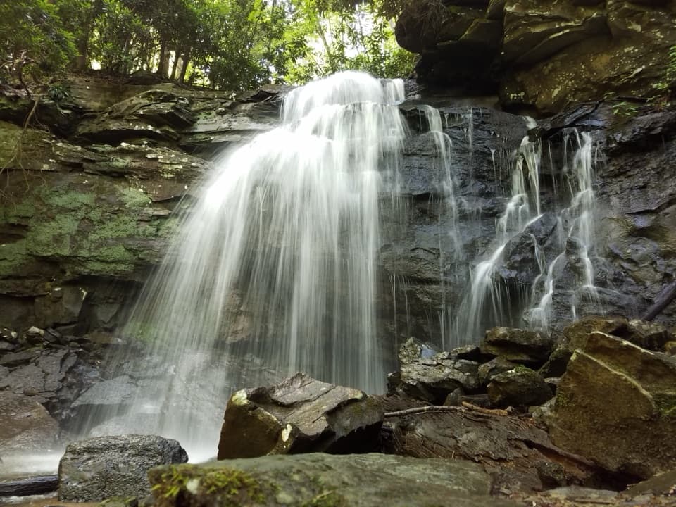 ChallengingKates Falls Trail0.4 mi · 30 min · 1.9 mi awayA short, steep climb ends at a sandstone waterfall.
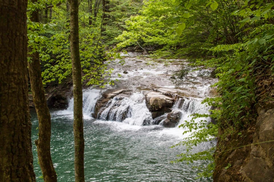 ModerateGlade Creek Trail5.6 mi · 2.5 hr · 2.9 mi awayA gentle rail grade keeps you beside cascades most of the way.
 ModerateTunnel Trail0.5 mi · 30 min · 4.6 mi awayA short, shady walk beneath Grandview’s broad sandstone overhang.
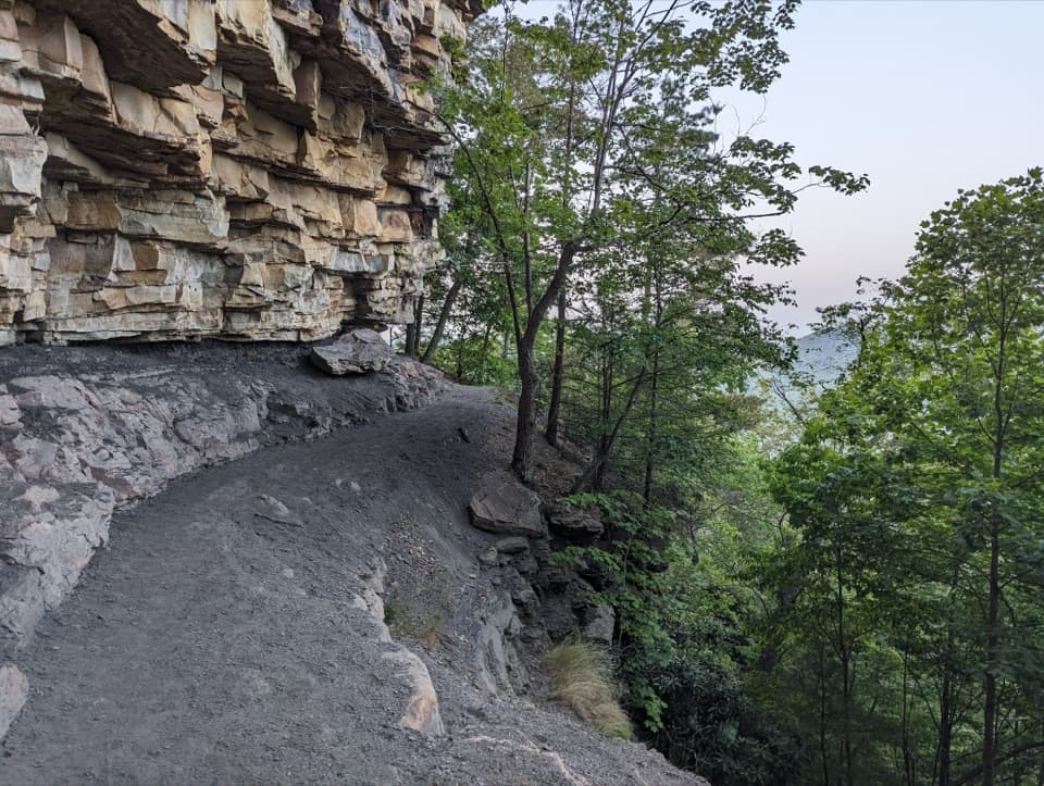 ChallengingCastle Rock Trail0.6 mi · 45 min · 4.6 mi awayWalk beneath layered walls and exposed coal along a strenuous gorge path.
 ModerateGrandview Rim Trail3.2 mi · 2 hr · 4.6 mi awayA wooded 1.6-mile route between two overlooks, with hills near Turkey Spur.
 EasyWoodland Loop Trail0.6 mi · 18 min · 5.1 mi awayAn easy forest loop from Grandview Shelter #2.
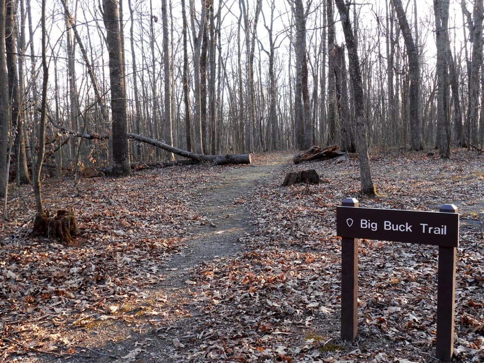 EasyBig Buck Trail0.9 mi · 30 min · 5.2 mi awayAn easy loop through Appalachian forest, with tree signs along the way.
 Sight · 1.5 mi awayKates FallsA stepped sandstone waterfall at the end of a long creekside hike.
 Sight · 2.1 mi awayGlade Creek FallsA creekside hike leads to tiered falls across a sandstone ledge.
 Campground · 3.1 mi awayGlade Creek CampgroundA wooded camp at the end of an old creekside rail trail.
 Campground · 4.2 mi awayWar Ridge CampgroundEight drive-in sites at the park’s only off-river campground.
 Sight · 4.3 mi awayMill Creek River AccessA simple launch where Mill Creek meets the New River.
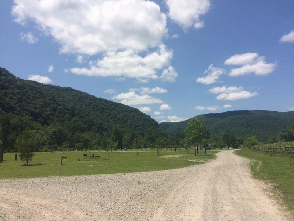 Campground · 4.4 mi awayMeadow Creek CampgroundFree riverside tent camping comes with train horns and little shade.
 Sight · 4.6 mi awayGrandview Main OverlookSeven miles of river and gorge from one short overlook.
 Visitor center · 4.6 mi awayGrandview Visitor CenterMaps, a small shop, and a walk to a seven-mile river view.
Parkwolf’s New River Gorge ranking

The audio tour guide for the drive, plus offline maps, trails, and wildlife heatmaps for when the signal drops.