Parking
At SR 20 milepost 130, enter the south side of Colonial Creek Campground and use the large lot above the boat ramp. Follow the campground signs to the amphitheater, where the trail begins.

North Cascades National Park, WA
Old-growth cedars, turquoise water, and a handsome footbridge.
Overview
Map & elevation
Plan your hike

The highest, rockiest slopes around here are a summer buffet for grizzly bears.
North Cascades Tour Guide
Parkwolf is a GPS audio tour guide for North Cascades National Park. As you drive, it chimes in with what’s ahead: hidden gems, upcoming stops, history, geology, and wildlife, right through your car’s speakers.
See the North Cascades audio tourRecorded for this trailhead
Colonial Creek: Lake Access and Thunder Knob“You're approaching Colonial Creek, where old-growth forest meets Diablo Lake. Stop here to get down to the water: the South Campground has a boat launch and a wheelchair-accessible fishing pier.”
Plays as you drive up to this trailhead in the Parkwolf North Cascades Tour Guide.
More stories near here in the app
“Fantastic app with many points of information… It’s great to just turn on while you’re driving and it gives you an audio tour of the national Park. We love it!!!!”


Trail guide
Thunder Creek Trail is an easy out-and-back from Colonial Creek Campground to the first wooden bridge over the creek, through old-growth forest. The mapped trail line is 1.32 miles one way, and the detailed route description puts the bridge at about 1.5 miles. A separate day-hike listing gives 4 miles round trip. I’d use about 3 miles for the mapped walk and leave room for extra campground walking or time at the creek. Allow roughly 1.5 to 2 hours; the published elevation gain is about 105 feet.
Park in the lot above the boat ramp and follow the campground signs to the amphitheater, where the trail begins. The first half-mile follows Thunder Arm of Diablo Lake. Then the dirt path winds through large cedar and fir with occasional glimpses of the creek. The wooden bridge is the natural turnaround. Cross it for the view of the water and nearby gravel bars; the bridge itself is the best place to frame the blue creek with the forest around it.
Fine rock dust ground by glaciers in the creek’s headwaters stays suspended in the water and gives it its cloudy turquoise color. The trail lets you see that color change as the creek narrows and runs under the bridge.
Look for very large cedar and fir, and woodland flowers when they’re in season. Owls, woodpeckers, and osprey are among the birds noted along the creek; listen as well as look. Prospectors and trappers opened the route, then mining developers and the Forest Service made major improvements in the early 1900s. Old blazes and cut stumps still mark parts of that history.
The trail continues beyond the bridge. About a quarter-mile farther is the Fourth of July Trail junction, where a steep climb heads toward the pass. That’s a separate, harder outing. The lower bridge walk is in the Ross Lake National Recreation Area, where leashed pets are allowed; pets are prohibited farther south after the route enters the national park. Overnight trips farther up the corridor require a limited backcountry permit.
Wildlife
 101 sightingsMountain GoatMost seen around 6 PMSighting map
 70 sightingsBlack BearMost seen around 8 PMSighting map
 20 sightingsMule DeerMost seen around 7 PMSighting map
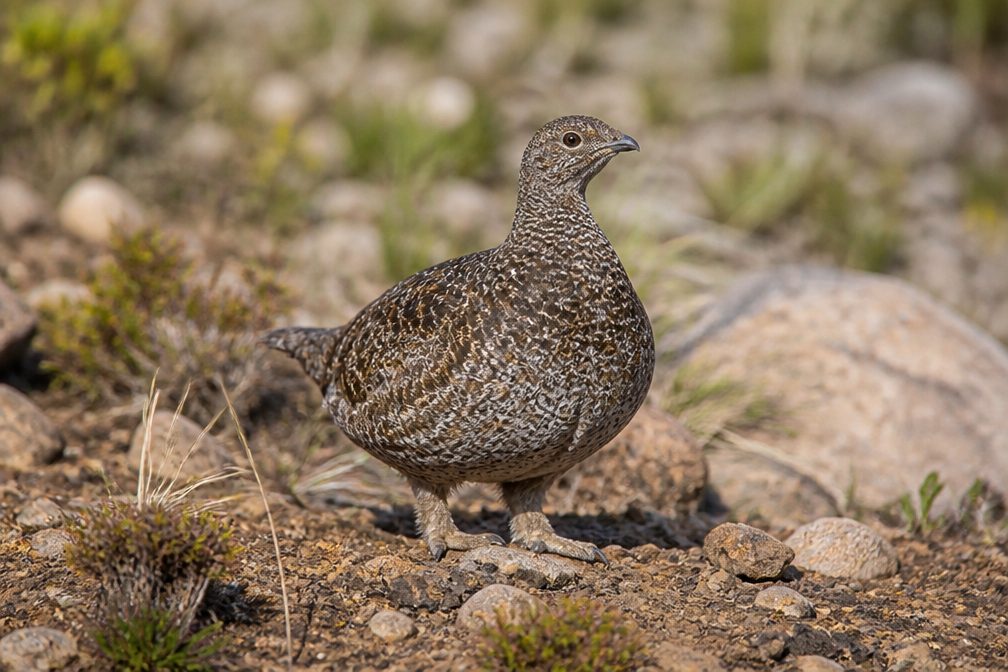 77 sightingsSooty GrouseMost seen around 6 AMSighting map
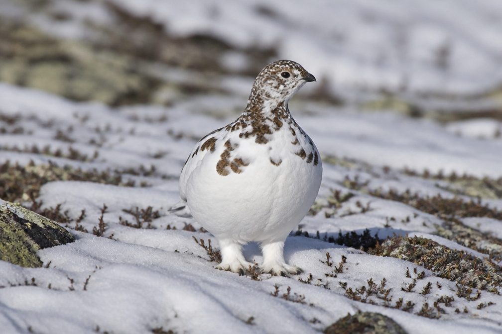 23 sightingsWhite-tailed PtarmiganMost seen around 6 PMSighting map
 75 sightingsWestern ToadMost seen around 8 PMSighting map
Sighting maps show where each species has been reported across North Cascades. Wildlife moves, so no sighting is guaranteed.
Keep exploring
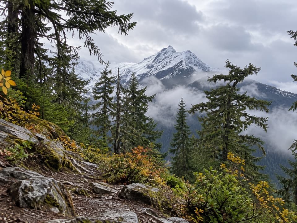 ChallengingFourth of July Pass via Thunder Creek10.4 mi · 7 hr · At the trailheadA shady creek walk gives way to steep climbing and glacier views.
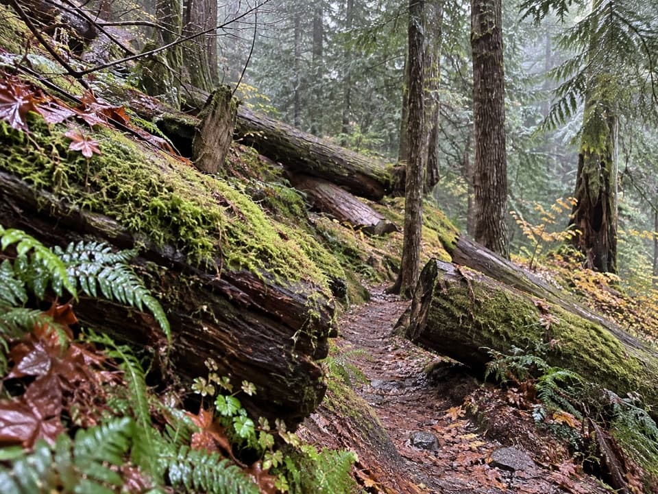 ModerateThunder Woods Nature Trail1.2 mi · 1.5 hr · At the trailheadA short mossy loop with loose rocks where steady footing helps.
 ModerateThunder Knob Trail3.8 mi · 2.5 hr · 0.5 mi awayTake the steady climb for broad views over turquoise Diablo Lake.
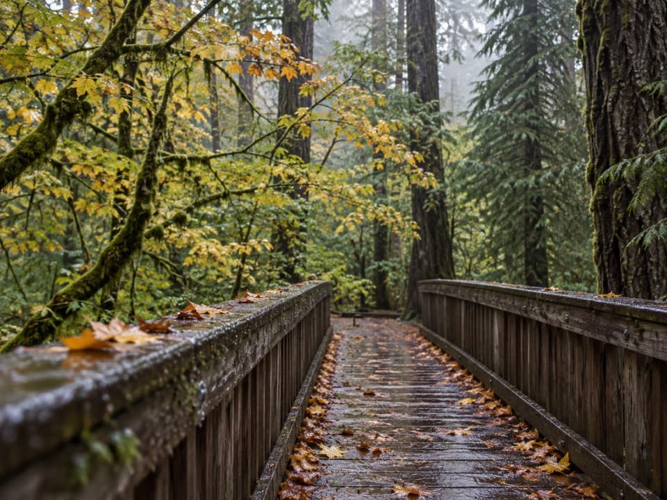 EasyDeer Creek Loop0.3 mi · 15 min · 2.5 mi awayA quarter-mile loop winds beside Deer Creek Shelter.
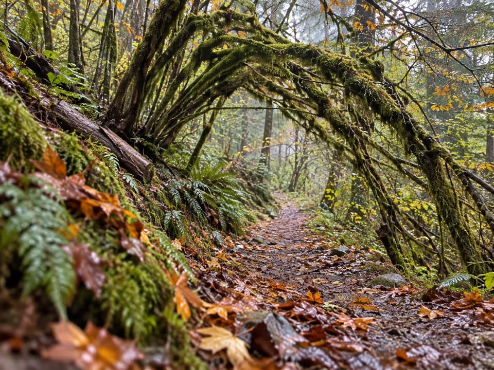 ModerateSourdough Creek Trail3.5 mi · 2.8 hr · 2.6 mi awayA forest path to Sourdough Creek Falls, with a rocky finish.
 ModerateDiablo Lake Trail7.6 mi · 4.5 hr · 2.7 mi awayA long forest climb earns a high bridge over Diablo Lake
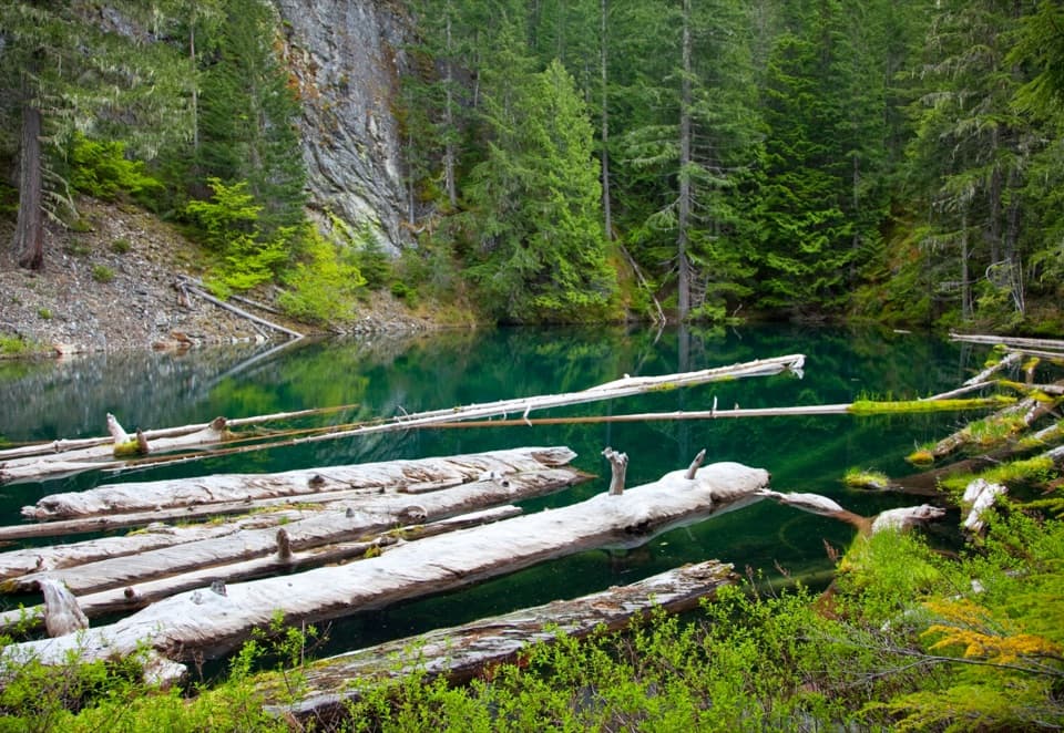 ModeratePyramid Lake Trail4.2 mi · 2.8 hr · 2.9 mi awaySteep miles to a tiny lake threaded with floating logs.
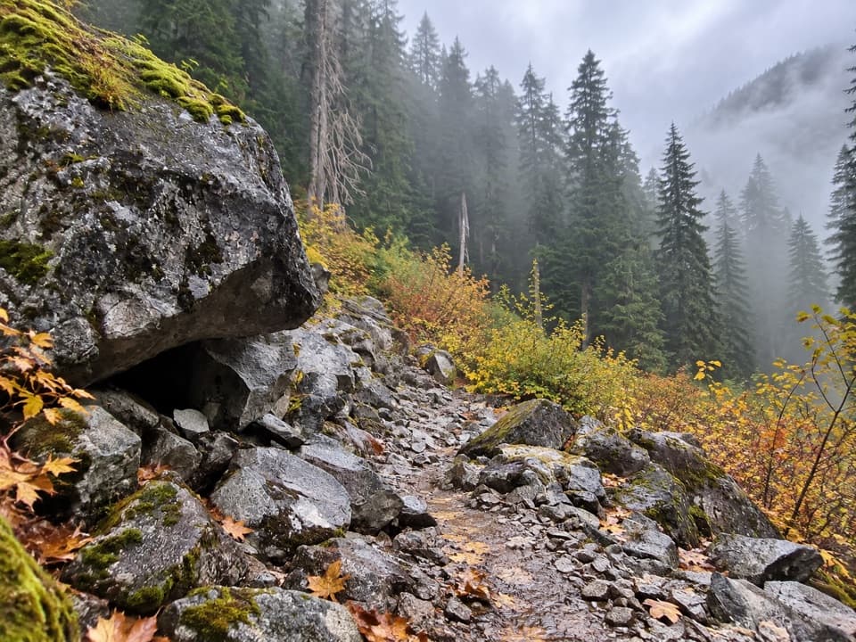 ChallengingBig Beaver Trail24.6 mi · 18 hr · 3.3 mi awayA long valley traverse past ancient cedars and beaver marshes.
 Campground · 0.4 mi awayColonial Creek South CampgroundOld-growth camping, lake access, and Thunder Creek from the south loop.
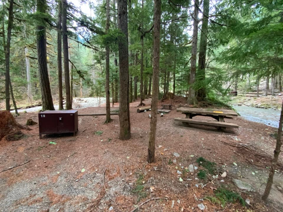 Campground · 0.5 mi awayColonial Creek North CampgroundA wooded Diablo Lake campground with an accessible pier and boat launch.
 Campground · 1.7 mi awayThunder Point CampA quiet three-site boat-in camp on Diablo Lake.
 Sight · 1.7 mi awayDiablo Lake OverlookA quick roadside view of glacial turquoise beneath the Cascades.
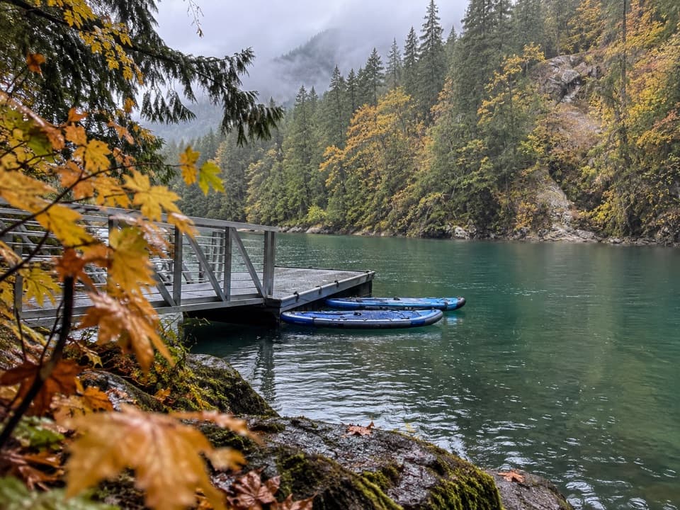 Campground · 1.9 mi awayHidden Cove CampA single-site camp with a sheltered dock, reached only by boat.
 Campground · 2.2 mi awayBuster Brown CampA lake camp reached by water, with its own boat dock.
 Sight · 2.6 mi awayNorth Cascades Environmental Learning CenterBook a program for lakeside learning, meals and trail days.
 Sight · 2.7 mi awayDiablo DamA public road crosses the 389-foot dam beside Diablo Lake.
Parkwolf’s North Cascades ranking

The audio tour guide for the drive, plus offline maps, trails, and wildlife heatmaps for when the signal drops.