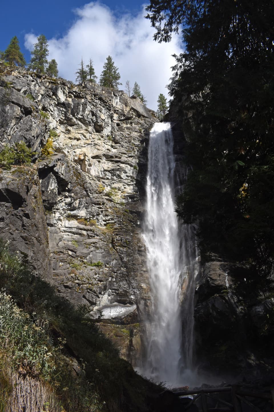
Parking
Follow Twisp River Road to the signed parking area 0.4 miles before Road’s End Campground. Northwest Forest Pass or America the Beautiful pass required.

North Cascades National Park, WA
A quiet climb past a shallow lake to broad pass views.
Overview
From the signed Twisp River Road access, this is the eastern day-hiking approach to Twisp Pass: 4.7 miles one way, 9.4 miles out and back, with about 2,464 feet of climbing. Allow roughly seven hours for the full walk. The park rates it moderate, but the distance and steady climb make it a full-day outing. The longer Bridge Creek approach from State Route 20 is 7.6 miles one way and is usually a backpacking trip.
 Parkwolf’s verdictIs this the route for you?
Map & elevation
Plan your hike

The highest, rockiest slopes around here are a summer buffet for grizzly bears.
North Cascades Tour Guide
Parkwolf is a GPS audio tour guide for North Cascades National Park. As you drive, it chimes in with what’s ahead: hidden gems, upcoming stops, history, geology, and wildlife, right through your car’s speakers.
See the North Cascades audio tourMore stories near here in the app
“Fantastic app with many points of information… It’s great to just turn on while you’re driving and it gives you an audio tour of the national Park. We love it!!!!”


Trail guide
The forested valley climb reaches shallow Dagger Lake beneath a backdrop of peaks, then continues toward Twisp Pass at 6,064 feet. The lake is a popular fishing spot. At the pass, the views open toward Lincoln Butte, Twisp Mountain, and Stiletto Peak. Informal paths continue to other viewpoints and climbs, but those are extensions beyond this mapped hike.
Use the signed parking area on Twisp River Road, 0.4 miles before Road's End Campground. This is a Forest Service trailhead, and parking requires a Northwest Forest Pass or an America the Beautiful pass. Pets are prohibited in the national park. Overnight camping at Dagger Lake requires a limited backcountry permit.
Wildlife
 101 sightingsMountain GoatMost seen around 6 PMSighting map
 70 sightingsBlack BearMost seen around 8 PMSighting map
 20 sightingsMule DeerMost seen around 7 PMSighting map
 77 sightingsSooty GrouseMost seen around 6 AMSighting map
 23 sightingsWhite-tailed PtarmiganMost seen around 6 PMSighting map
 75 sightingsWestern ToadMost seen around 8 PMSighting map
Sighting maps show where each species has been reported across North Cascades. Wildlife moves, so no sighting is guaranteed.
Keep exploring
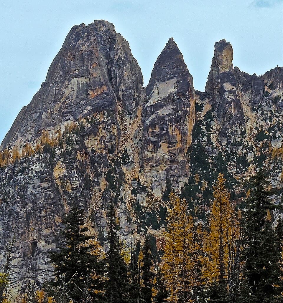 ModerateBlue Lake Trail4.4 mi · 3 hr · 6.4 mi awayA shaded climb ends at a turquoise lake beneath granite towers.
 ChallengingPacific Crest Trail: SR 20 to High Bridge18.1 mi · 10 hr · 7.6 mi awayA long PCT traverse from SR 20 to High Bridge.
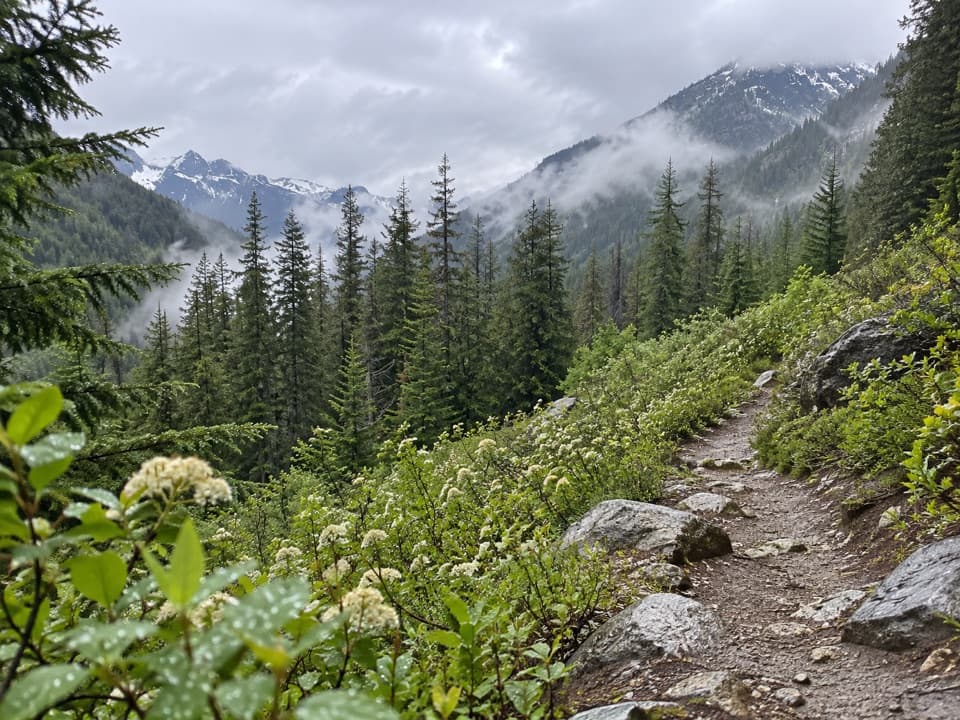 ModerateBridge Creek (Pacific Crest) Trail12.8 mi · 7 hr · 7.7 mi awayA long PCT descent from SR 20 to Bridge Creek Camp.
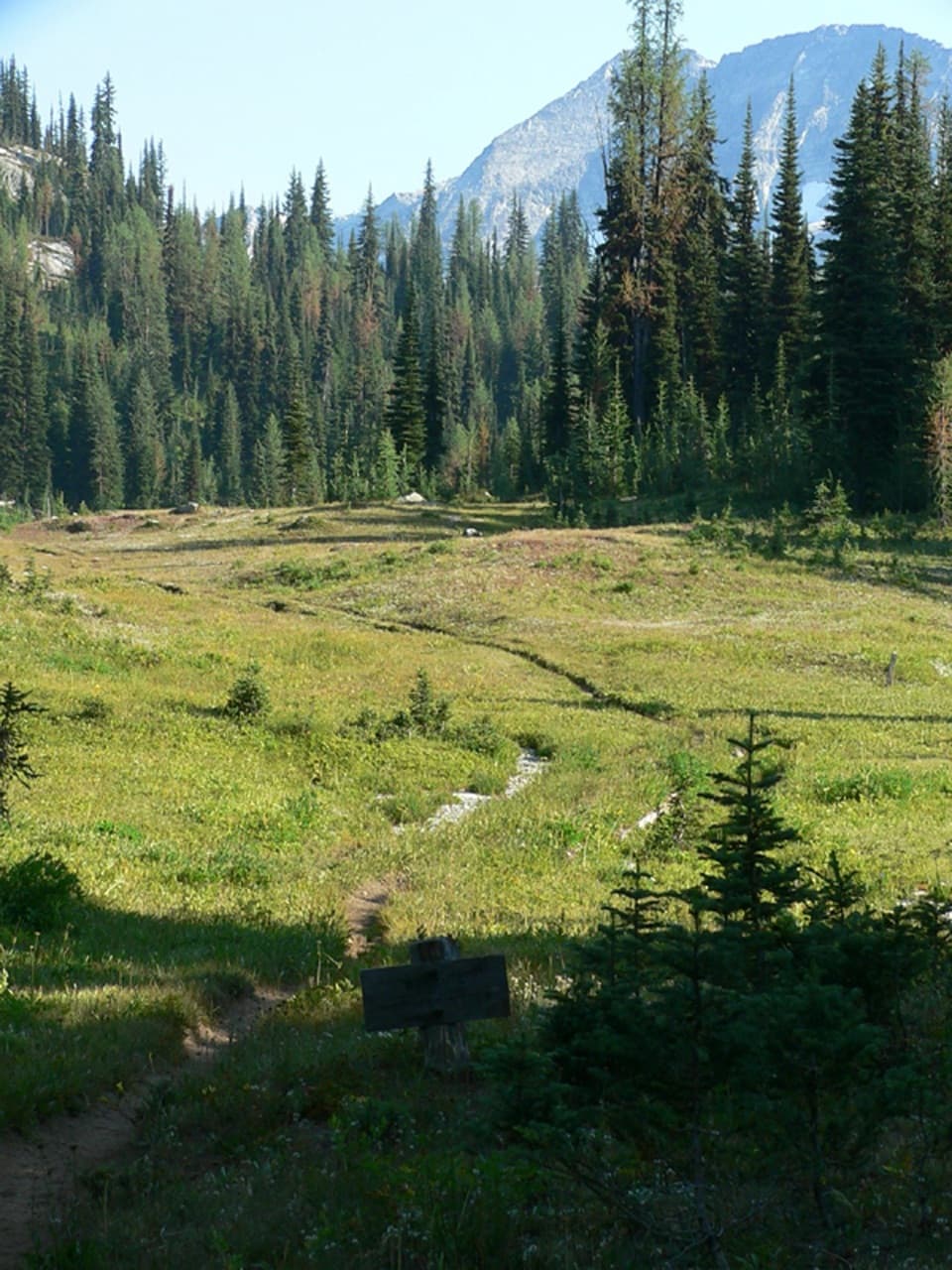 ModerateMcAlester Lake Trail15.2 mi · 10 hr · 7.7 mi awayA long climb through forest and meadows to a Cascade lake
 ChallengingStiletto Peak Trail10.4 mi · 10 hr · 7.7 mi awayClimb through flower meadows to the remains of a fire lookout
 ChallengingRainbow / McAlester Pass Loop31.5 mi · 1 day · 7.7 mi awayA four-day loop links two high lakes across two rugged passes.
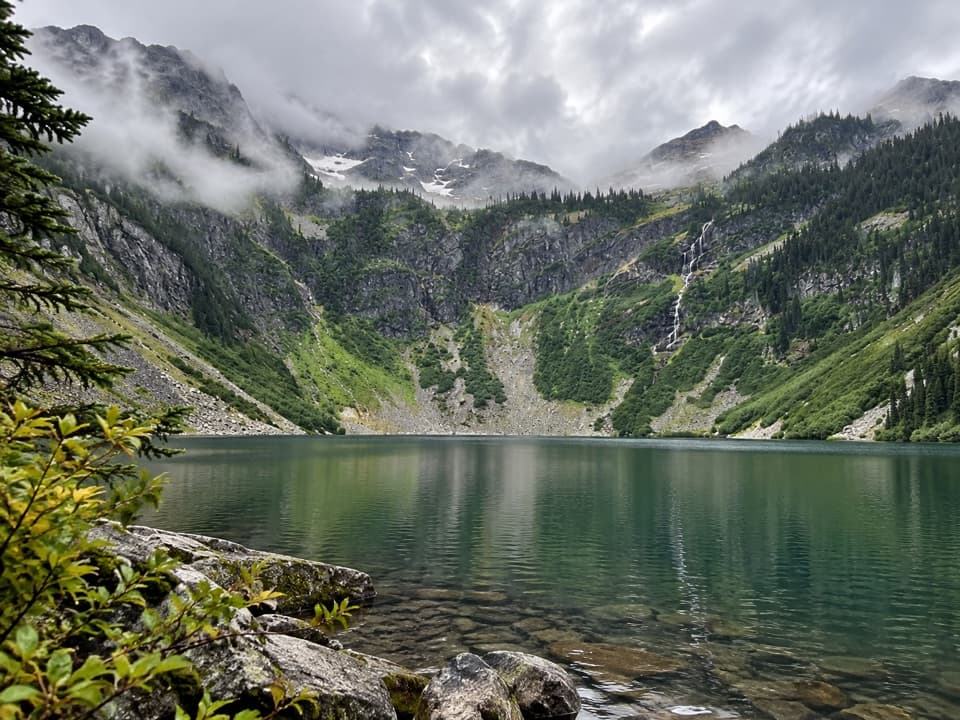 EasyRainy Lake Trail #3102 mi · 54 min · 8.6 mi awayA paved mile to a lake, waterfalls, and glacier views.
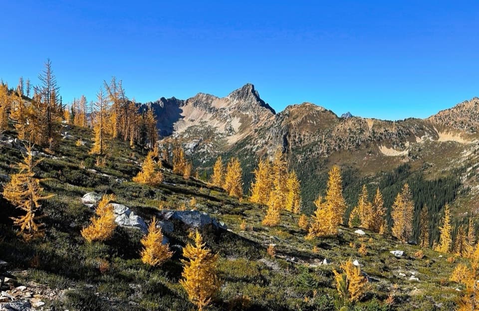 ChallengingCutthroat Pass via Pacific Crest Trail10.1 mi · 5.5 hr · 8.6 mi awayAn alpine PCT climb to Cutthroat Pass and lake views.
Parkwolf’s North Cascades ranking
The audio tour guide for the drive, plus offline maps, trails, and wildlife heatmaps for when the signal drops.