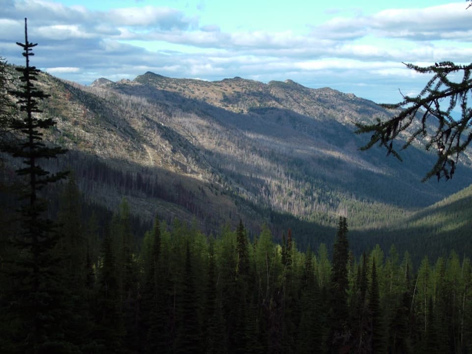
War Creek Trail to Juanita Lake in North Cascades National Park

North Cascades National Park, WA

War Creek Trail to Juanita Lake

A forest climb to a quiet lake in the larch zone.

Photo: Wikimedia Commons
Length
9.3mi
Time
7.5hr
Elev. change
3,819ft
Difficulty
Challenging
  • Dogs allowed
  • High point 6,864 ft
Parkwolf audio tour83 stories across North Cascades’s roads

Overview

About War Creek Trail to Juanita Lake

Why go

  • A remote larch-lined lake and high-country basin reward the long climb.

Heads up

  • A same-trail return makes this an 18.6-mile outing.

Map & elevation

The route

Loading the North Cascades map
Full map
Elevation3,045–6,864 ft
TrailheadWar Creek Trailhead48.35840, -120.41660
Keep this map with you offline in the Parkwolf app

Plan your hike

Before you go

Parking

Start at War Creek Trailhead on Forest Road 4430-100. From Twisp, follow Twisp River Road about 10 miles to Buttermilk Creek Road; cross the river, turn onto West Buttermilk Creek Road/Forest Road 4420, continue to Forest Road 4430, then turn left onto 4430-100 for about 1.5 miles. A Northwest Forest Pass or America the Beautiful pass is required for day use. The trailhead has a vault toilet and no potable water.

Best time to go

Snow can cover trails in the Juanita Lake area into early July and make route-finding difficult. Hunters use the basin in season, so wear bright colors. A Northwest Forest Pass or America the Beautiful pass is required at the trailhead. Pets are allowed on this route; leash them in Lake Chelan National Recreation Area.

Safety

The final half-mile is steep. Snow can linger into early July and make route-finding difficult. There is no potable water at the trailhead; the lake outlet is the best water source identified for the route. Hunters use the basin in season, so wear bright colors.

7 active North Cascades alerts

  • ClosureWildfire closures and Stehekin fire advisoryWildfire-related closures remain in effect; stay out of all closed trails, camps, and areas.Official details
  • CautionCampfires banned across the park complexCampfires and other ash-producing fires are banned throughout the North Cascades National Park Service Complex.Official details
See all 7 alerts
A park ranger sits on a dash-mounted phone, talking, as Parkwolf’s Tour Guide plays “Army Cutworm Moths: A Grizzly Bear Buffet” on Grand Loop Road below Dunraven Pass in Yellowstone
Parkwolf Tour GuideThe highest, rockiest slopes around here are a summer buffet for grizzly bears.

North Cascades Tour Guide

Your drive to War Creek Trail to Juanita Lake, narrated.

Parkwolf is a GPS audio tour guide for North Cascades National Park. As you drive, it chimes in with what’s ahead: hidden gems, upcoming stops, history, geology, and wildlife, right through your car’s speakers.

See the North Cascades audio tour
  • 83 audio storiesacross North Cascades’s roads, triggered by GPS as you drive
  • Wildlife heatmapsfor Mountain Goat, Black Bear, Mule Deer, and 10 more
  • Works offlinemaps, 88 trails, 76 places, and audio download before you lose signal
  • CarPlay readysimple controls built for the drive
★★★★★
“Fantastic app with many points of information… It’s great to just turn on while you’re driving and it gives you an audio tour of the national Park. We love it!!!!”
JMJamesApp Store review
Download Parkwolf on the App StoreGet Parkwolf on Google Play

4.7 from 8,600+ ratings

Trail guide

Hiking War Creek Trail to Juanita Lake

A long one-way climbWar Creek Trail 408 is a 9.

War Creek Trail #408 is a 9.3-mile point-to-point hike from War Creek Trailhead to Juanita Lake, gaining 3,600 feet. Allow roughly 7 to 8 hours one way. Walking back to the same trailhead makes the outing about 18.6 miles, so an overnight or a longer backcountry itinerary is a better fit for many hikers.

Forest to high countryMost of the approach is gradual and forested before it steepens near the subalpine; the last…

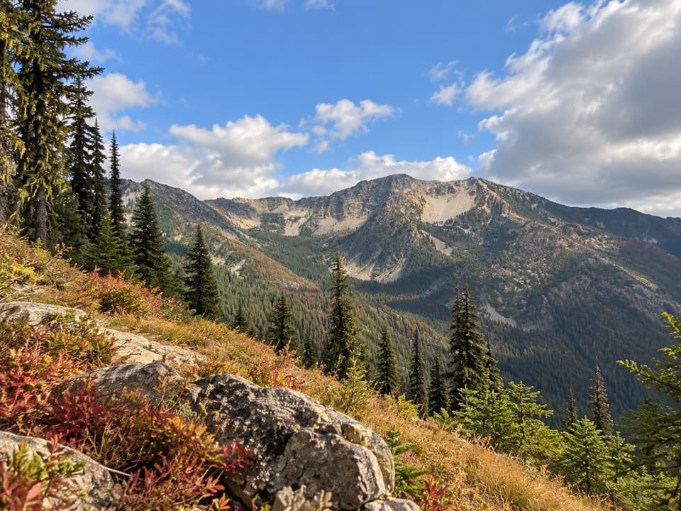
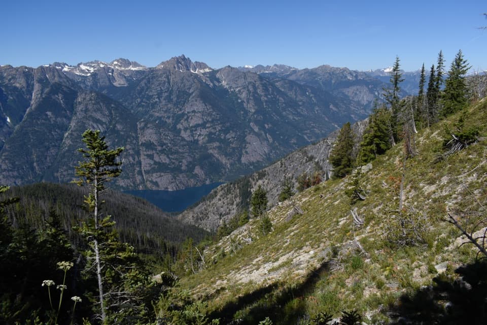
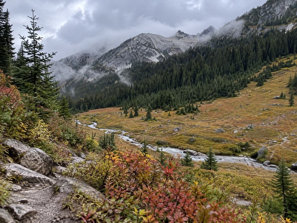
Most of the approach is gradual and forested before it steepens near the subalpine; the last half-mile is especially steep. Much of Trail 408 burned in the 2018 Crescent Mountain Fire, and the trees thin as the route climbs. The upper approach reaches a larch-dotted basin between Purple and War Creek Passes.

Juanita LakeThe shallow, reedy lake sits above 6,600 feet among meadows, larches, and subalpine fir.

The shallow, reedy lake sits above 6,600 feet among meadows, larches, and subalpine fir. Larch needles turn bright yellow in fall. Separate hiker and stock camps sit near opposite sides of the lake, and the outlet is the best water source identified for this route. Keep to the trail, snow, or rock to protect the fragile meadow.

Camp with a permitA backcountry permit is required for overnight stays.

A backcountry permit is required for overnight stays. Campfires are prohibited in the Juanita Lake basin; use a stove. The group limit is 12 total, counting people and stock.

Wildlife

Wildlife in North Cascades

All North Cascades wildlife maps

Sighting maps show where each species has been reported across North Cascades. Wildlife moves, so no sighting is guaranteed.

Parkwolf’s North Cascades ranking

Top-rated trails in North Cascades

All 88 trails
  1. 1Sahale Arm TrailChallenging · 11.8 mi
  2. 2Cascade Pass TrailModerate · 7.4 mi
  3. 3Heather–Maple Pass LoopChallenging · 7.2 mi
  4. 4Hidden Lake TrailChallenging · 9 mi
  5. 5Copper Ridge / Chilliwack River LoopChallenging · 33.5 mi
  6. 6Thunder Knob TrailModerate · 3.8 mi

Take Parkwolf to North Cascades.

The audio tour guide for the drive, plus offline maps, trails, and wildlife heatmaps for when the signal drops.

4.7 from 8,600+ ratings

Download Parkwolf on the App StoreGet Parkwolf on Google Play