Parking
Start at Lower Rainbow Loop Trailhead, 2.6 road miles from Stehekin Landing. Reach it by the valley shuttle, on foot or by bicycle; shuttle service is seasonal, so confirm it before relying on it.
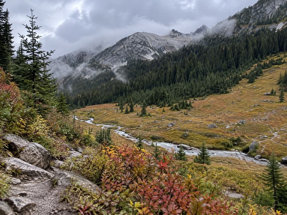
North Cascades National Park, WA
An 11-mile one-way climb from Stehekin into high country.
Overview
Map & elevation
Plan your hike

The highest, rockiest slopes around here are a summer buffet for grizzly bears.
North Cascades Tour Guide
Parkwolf is a GPS audio tour guide for North Cascades National Park. As you drive, it chimes in with what’s ahead: hidden gems, upcoming stops, history, geology, and wildlife, right through your car’s speakers.
See the North Cascades audio tourRecorded for this trailhead
Rainbow Loop: A Traverse with Lake Views“Rainbow Loop’s lower trailhead is ahead, with a climb to rocky views over Lake Chelan and the Stehekin Valley.”
Plays as you drive up to this trailhead in the Parkwolf North Cascades Tour Guide.
More stories near here in the app
“Fantastic app with many points of information… It’s great to just turn on while you’re driving and it gives you an audio tour of the national Park. We love it!!!!”


Trail guide
Boulder Creek Trail is an 11.2-mile one-way route from Lower Rainbow Loop Trailhead to the high-country junction near Lake Juanita and War Creek Pass. The distance includes about 1.6 miles on Rainbow Loop to the Boulder Creek junction, then the named Boulder Creek Trail. From the valley, the route climbs roughly 5,700 feet toward 6,900-foot country. Budget about 10 to 12 hours for the full ascent. This is a serious through-hike or overnight connector, not a loop; walking back to the same trailhead makes it more than 22 miles.
The first stretch follows long switchbacks through dry ponderosa pine and Douglas-fir forest. Look for small antlion pits in the sandy soil. At about 1.6 miles, the Boulder Creek fork leads onto a rocky bench; a little beyond it, an outcrop opens over Lake Chelan, the Stehekin River and Buckner Orchard. If you only want the lower valley walk, turn around after this viewpoint instead of taking on the high-country climb.
That bench is a hanging valley: smaller alpine glaciers carved Rainbow and Boulder creeks less deeply than the ice that filled the main Stehekin Valley. When the ice melted about 10,000 years ago, Rainbow Creek spread rock flour and sediment into an alluvial fan; the Stehekin River has worn most of it away. The outcrop is the best place on this approach to frame the lake and river together.
Beyond the junction, Boulder Creek Trail climbs through lower slopes affected by the 2010 Rainbow Bridge and 2014 Lone Mountain fires, then reaches the open, larch-dotted country around Lake Juanita. Fire-burned sections can be dry and dusty, and blowdowns are a recurring feature. Check current trail conditions before setting out. The high end joins the War Creek and Purple Creek route network; it is a remote, demanding finish rather than a place to turn around casually.
A backcountry permit is required for overnight camping, permits are limited, and campfires are prohibited in the Lake Juanita basin. Dogs are allowed on leash in this area. For a much shorter outing, Rainbow Loop is the valley-view choice: 4.4 miles one way, with a 6.8-mile road-return option from the lower trailhead. It shares the first 1.6 miles with this route, but the Boulder Creek climb is a very different commitment.
Wildlife
 101 sightingsMountain GoatMost seen around 6 PMSighting map
 70 sightingsBlack BearMost seen around 8 PMSighting map
 20 sightingsMule DeerMost seen around 7 PMSighting map
 77 sightingsSooty GrouseMost seen around 6 AMSighting map
 23 sightingsWhite-tailed PtarmiganMost seen around 6 PMSighting map
 75 sightingsWestern ToadMost seen around 8 PMSighting map
Sighting maps show where each species has been reported across North Cascades. Wildlife moves, so no sighting is guaranteed.
Keep exploring
 ChallengingRainbow Creek Trail9.7 mi · 9 hr · At the trailheadA hard climb into open meadows above Lake Chelan
 ModerateRainbow Loop Trail4.4 mi · 3.5 hr · At the trailheadA 4.4-mile traverse for Lake Chelan and Stehekin Valley views.
 EasyBuckner Orchard Walk0.6 mi · 1 hr · 0.7 mi awayA shady ditch-side path opens onto a working historic orchard.
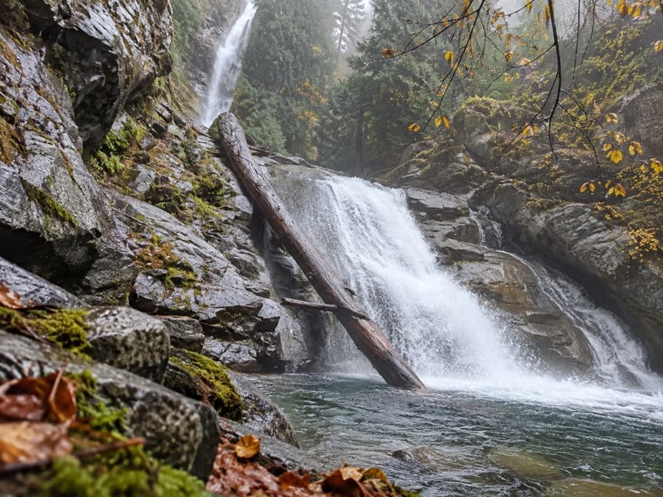 EasyRainbow Mist Trail0.3 mi · 20 min · 0.8 mi awayTwo viewpoints bring you close to a 312-foot waterfall.
 ChallengingDevore Creek Trail15 mi · 13 hr · 1.3 mi awayA steep backcountry route from Weaver Point into Ten Mile Basin.
 EasyStehekin River Trail6.4 mi · 3.5 hr · 1.4 mi awayA gentle forest walk to Weaver Point, with river and falls views
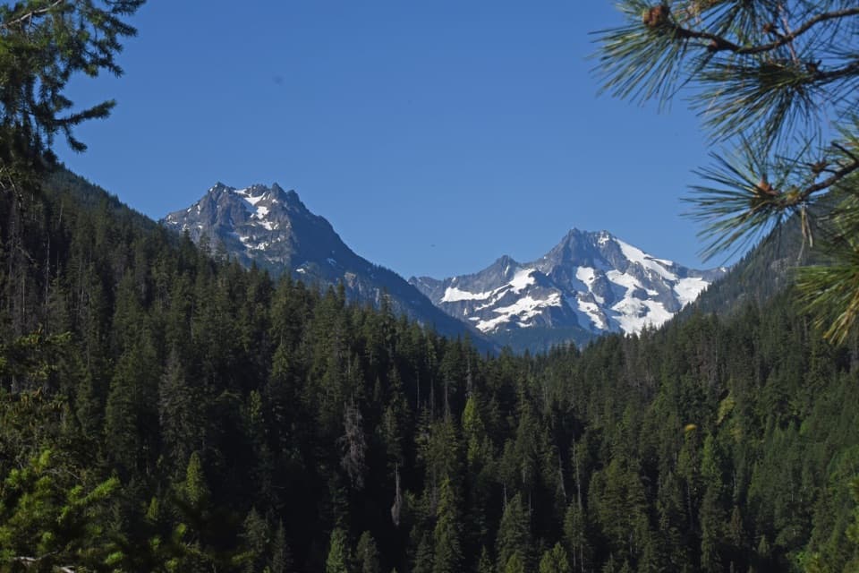 ChallengingHilgard Pass / Ten Mile Pass Loop28 mi · 20 hr · 2.2 mi awayA demanding loop from Stehekin to two high mountain passes.ChallengingCompany Creek Trail11 mi · 10 hr · 2.2 mi awayA demanding 5,400-foot climb from Stehekin to Hilgard Pass.Sight · 0.4 mi awayBuckner OrchardWalk the orchard's old irrigation ditch among heirloom apple trees.
 Sight · 0.7 mi awayStehekin Old SchoolA one-room schoolhouse shows how an isolated valley educated its kids.
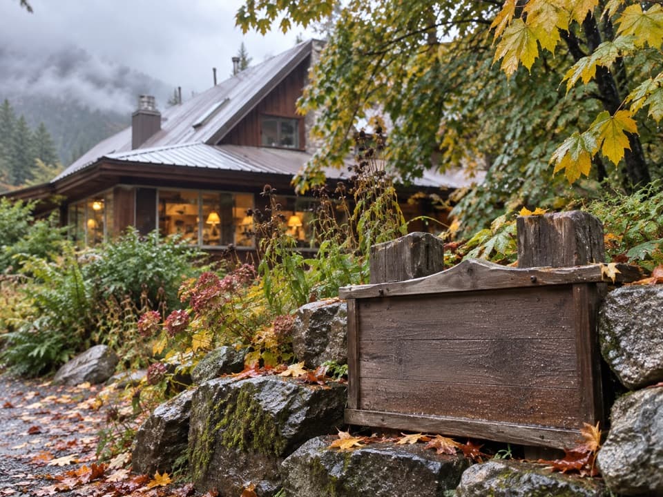 Food · 0.7 mi awayStehekin Pastry CompanyA proper pastry break, two miles up the Stehekin valley.
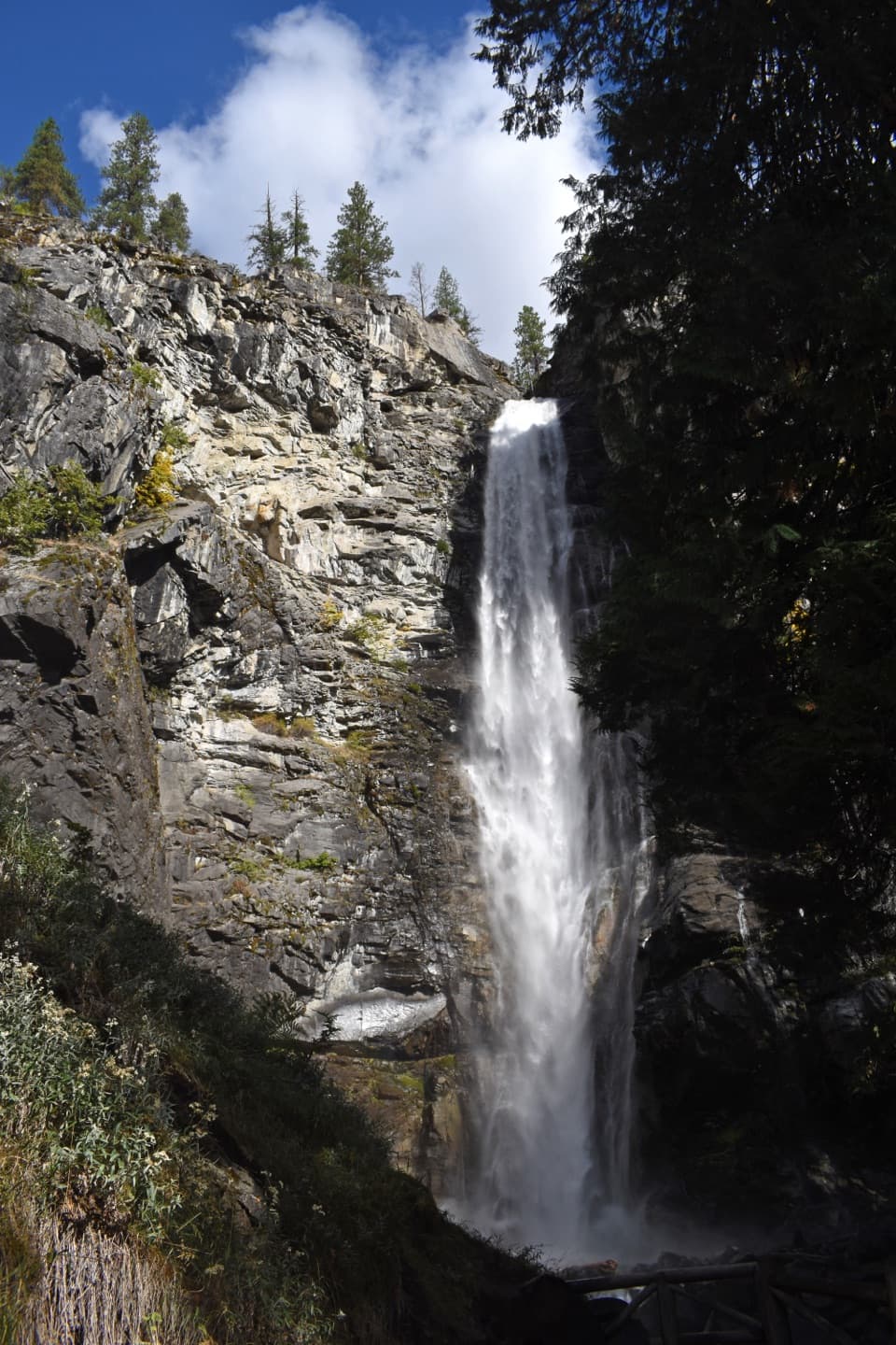 Sight · 0.8 mi awayRainbow FallsA short walk reaches a 312-foot waterfall in a glacial valley.
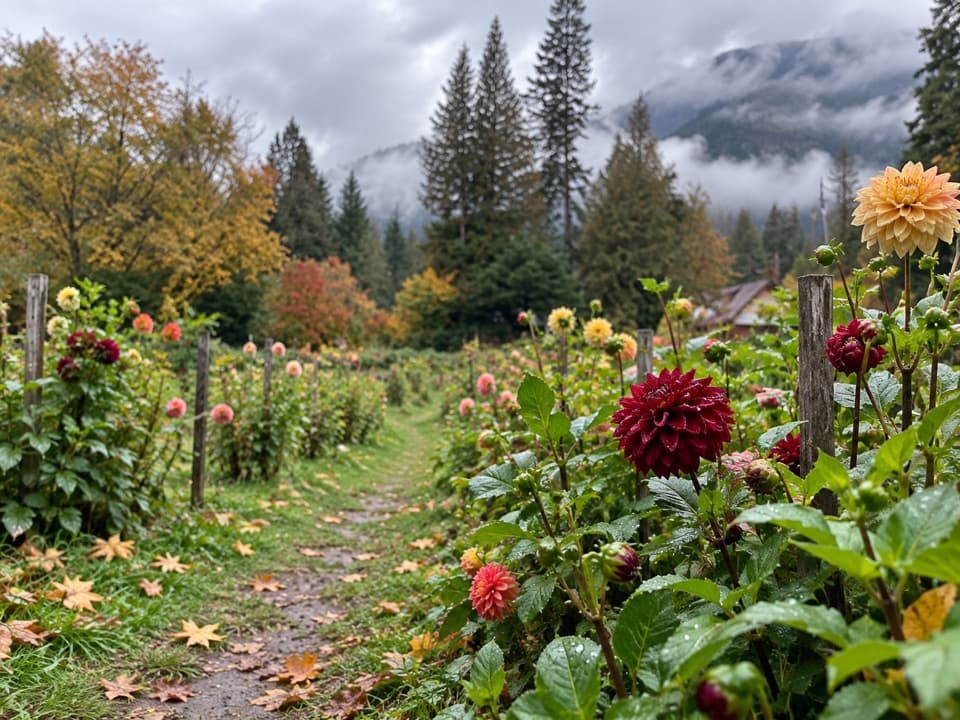 Store · 0.9 mi awayThe GardenA garden and farm stand for seasonal produce and homemade goat cheese.
 Campground · 1 mi awayRainbow Bridge CampAn overnight camp on Rainbow Loop, in the area burned in 2010.
 Campground · 1.4 mi awayWeaver Point CampgroundA boat-in Lake Chelan camp with a 3.5-mile trail approach.
 Campground · 1.4 mi awayHarlequin CampgroundA walk-in camp along the Stehekin River.
Parkwolf’s North Cascades ranking

The audio tour guide for the drive, plus offline maps, trails, and wildlife heatmaps for when the signal drops.




