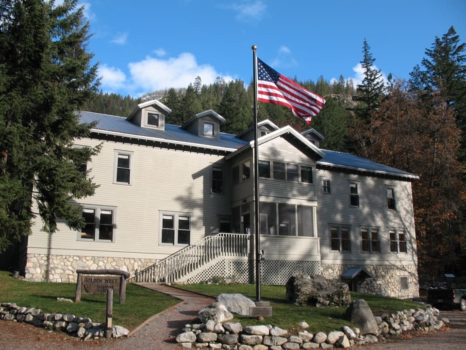
Devore Creek Trail in North Cascades National Park

North Cascades National Park, WA

Devore Creek Trail

A steep backcountry route from Weaver Point into Ten Mile Basin.

Length
15mi
Time
13hr
Elev. change
5,344ft
Difficulty
Challenging
  • Dogs allowed
  • High point 6,555 ft

Hear the audio tour

The Garden: Stehekin's Farm Stand

Overview

About Devore Creek Trail

Why go

  • A remote high-country route through Fourth of July Basin and open larch forest.
  • Connects the Lake Chelan side to the Ten Mile and Company Creek trail network.

Heads up

  • Fifteen miles one way with sustained steep climbing is a serious commitment.
  • The Harlequin Campground approach adds about 3 miles each way on another trail.

Map & elevation

The route

Loading the North Cascades map
Full map
Elevation1,211–6,555 ft
TrailheadWeaver Point / Devore Creek Trailhead48.31620, -120.68010
Keep this map with you offline in the Parkwolf app

Plan your hike

Before you go

Parking

Stehekin has no road connection to Chelan. Use boat or trail access to Stehekin; the practical road and shuttle access is Harlequin Campground, followed by about 3 miles on the Stehekin River Trail to the Devore Creek junction. The 15-mile trail distance starts near Weaver Point and excludes this approach.

Safety

A long, steep backcountry route with a dry, brushy hillside section and about 5,400 feet of reported climbing. There are no facilities; plan for a remote route and treat stream water.

7 active North Cascades alerts

  • ClosureWildfire closures and Stehekin fire advisoryWildfire-related closures remain in effect; stay out of all closed trails, camps, and areas.Official details
  • CautionCampfires banned across the park complexCampfires and other ash-producing fires are banned throughout the North Cascades National Park Service Complex.Official details
See all 7 alerts
A park ranger sits on a dash-mounted phone, talking, as Parkwolf’s Tour Guide plays “Army Cutworm Moths: A Grizzly Bear Buffet” on Grand Loop Road below Dunraven Pass in Yellowstone
Parkwolf Tour GuideThe highest, rockiest slopes around here are a summer buffet for grizzly bears.

North Cascades Tour Guide

Your drive to Devore Creek Trail, narrated.

Parkwolf is a GPS audio tour guide for North Cascades National Park. As you drive, it chimes in with what’s ahead: hidden gems, upcoming stops, history, geology, and wildlife, right through your car’s speakers.

See the North Cascades audio tour

Recorded for this area

The Garden: Stehekin's Farm Stand
0:00 / 0:18
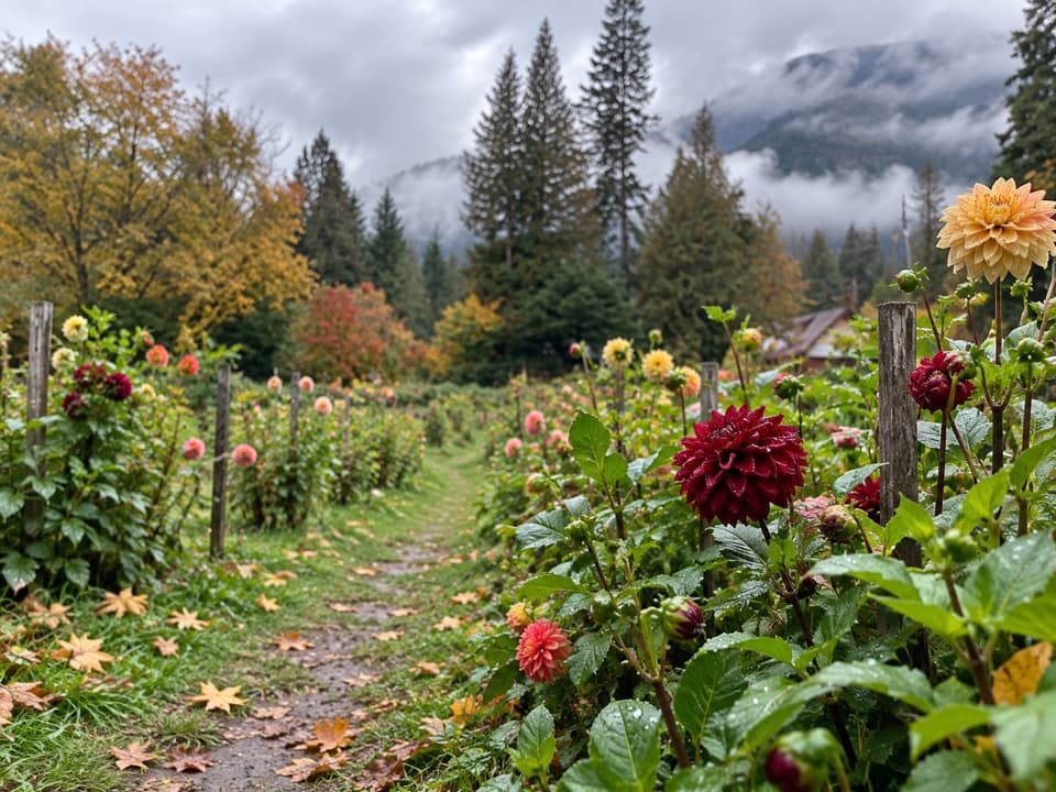
“The Garden in Stehekin is coming up, a small organic garden and farm stand. If it's open, stop for the vegetable rows and flower beds, then see what's been harvested.”

Plays on the road 0.5 mi from the trailhead in the Parkwolf North Cascades Tour Guide.

More stories near here in the app

  • Stehekin Pastry Company: Cinnamon Rolls and Coffee
  • Stehekin Landing and Golden West
  • Rainbow Loop: A Traverse with Lake Views
  • Buckner Orchard: Heirloom Apples and a Working Ditch
  • 83 audio storiesacross North Cascades’s roads, triggered by GPS as you drive
  • Wildlife heatmapsfor Mountain Goat, Black Bear, Mule Deer, and 10 more
  • Works offlinemaps, 88 trails, 76 places, and audio download before you lose signal
  • CarPlay readysimple controls built for the drive
★★★★★
“Fantastic app with many points of information… It’s great to just turn on while you’re driving and it gives you an audio tour of the national Park. We love it!!!!”
JMJamesApp Store review
Download Parkwolf on the App StoreGet Parkwolf on Google Play

4.7 from 8,600+ ratings

Trail guide

Hiking Devore Creek Trail

What this route isDevore Creek Trail 1244 is a 15-mile, one-way backcountry route from near Weaver Point to the…

Devore Creek Trail #1244 is a 15-mile, one-way backcountry route from near Weaver Point to the junction of Company Creek and 10 Mile Creek trails in Ten Mile Basin. It is not a loop or an easy out-and-back. That distance is for the named trail; if you approach from Harlequin Campground, add about 3 miles on the Stehekin River Trail before reaching the Devore Creek junction.

Treat the full route as a demanding backpacking segment or a very long one-way day. You need a plan for the far end or for retracing the route. The much-mentioned 28-mile circuit combines this trail with the Company Creek and Stehekin River trails; it is a different, longer itinerary.

The climb into Fourth of July BasinThe trail climbs steeply through rock bluffs and open forest for its first mile, then enters…

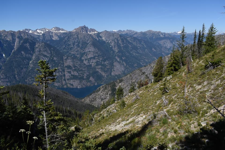
The trail climbs steeply through rock bluffs and open forest for its first mile, then enters Glacier Peak Wilderness. The next roughly three miles cross a dry, brushy hillside that stays steep. Forest returns before Fourth of July Basin. This is sustained work, with brush and a remote setting that make it a poor choice for a casual walk.

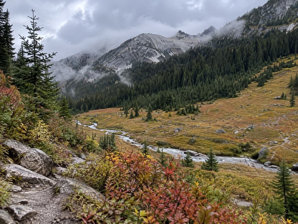
Ten Mile Pass and the route’s endFourth of July Basin is the open stretch for broad mountain views and cross-country wandering.

Fourth of July Basin is the open stretch for broad mountain views and cross-country wandering. From there, the trail switchbacks through open larch forest to Ten Mile Pass, then descends through timber into Ten Mile Basin. It finishes at the junction with Company Creek and 10 Mile Creek trails, where a separate route continues the journey. The trail crosses from Lake Chelan National Recreation Area into Glacier Peak Wilderness.

Access and suppliesStehekin has no road connection to Chelan; visitors arrive by boat or on foot.

Stehekin has no road connection to Chelan; visitors arrive by boat or on foot. From the practical road and shuttle access at Harlequin Campground, follow the Stehekin River Trail about 3 miles to the Devore Creek junction. That approach is outside the 15-mile trail distance, so include it in your plan. The Forest Service describes dispersed campsites and water along the route, but no facilities. Bring a way to treat stream water. Pets are allowed on leash in the Lake Chelan National Recreation Area; check applicable Forest Service rules farther along the route.

Wildlife

Wildlife in North Cascades

All North Cascades wildlife maps

Sighting maps show where each species has been reported across North Cascades. Wildlife moves, so no sighting is guaranteed.

Keep exploring

Near Devore Creek Trail

See it all on the map

Trails that start nearby

Places near the trailhead

Parkwolf’s North Cascades ranking

Top-rated trails in North Cascades

All 88 trails
  1. 1Sahale Arm TrailChallenging · 11.8 mi
  2. 2Cascade Pass TrailModerate · 7.4 mi
  3. 3Heather–Maple Pass LoopChallenging · 7.2 mi
  4. 4Hidden Lake TrailChallenging · 9 mi
  5. 5Copper Ridge / Chilliwack River LoopChallenging · 33.5 mi
  6. 6Thunder Knob TrailModerate · 3.8 mi

Take Parkwolf to North Cascades.

The audio tour guide for the drive, plus offline maps, trails, and wildlife heatmaps for when the signal drops.

4.7 from 8,600+ ratings

Download Parkwolf on the App StoreGet Parkwolf on Google Play