Moderate

Rainbow Loop Trail

Early-season Stehekin classic with big Lake Chelan views and flowers
Rainbow Loop Trail, North Cascades National Park
Distance6.8 mi
Typical time3.5 hr
DifficultyModerate
PetsAllowed

Overview

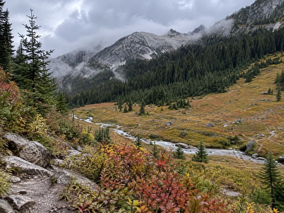
A local favorite above the Stehekin Valley, this is a moderate hike with oversized payoff: sweeping looks at Lake Chelan, the Stehekin River, and historic valley landmarks. The Rainbow Loop isn’t a true loop—think horseshoe. Most hikers link the two trailheads by walking Stehekin Valley Road to make a 6.8-mile total loop (trail plus road). Elevation gain depends on your approach, but expect roughly 1,000–1,361 feet overall.

Route options and what you’ll see

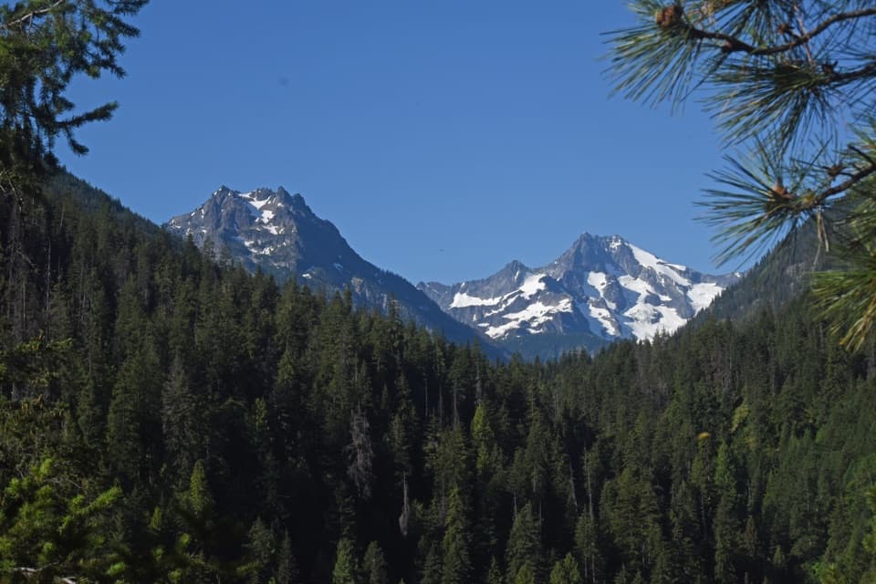
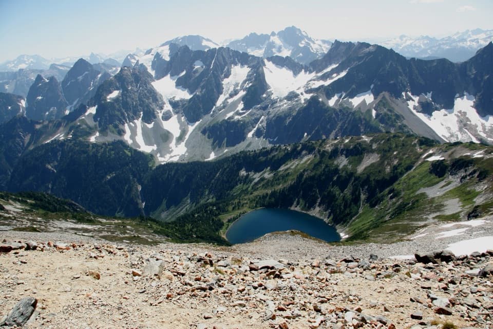
You can start at either end: the lower (southern) trailhead is 2.6 miles up-valley from Stehekin Landing; the upper (northern) trailhead is 5 miles. From the southern start, the trail climbs switchbacks through dry ponderosa pine and Douglas-fir forest—watch for tiny antlion pits in the sandy soil—before topping out on a rock bench at the base of a classic hanging valley. About 1.6 miles in, you’ll hit the Boulder Creek Trail junction and soon reach a rock outcrop with standout views over Lake Chelan, the Stehekin River, and Buckner Orchard. Cross Rainbow Creek on a sturdy bridge, pass the Rainbow Creek Trail junction (a short, vigorous 1-mile detour leads to a stellar overlook toward Lake Chelan, Tupshin Peak, and Sisi Ridge), then climb again before a long, shaded descent to the upper trailhead.

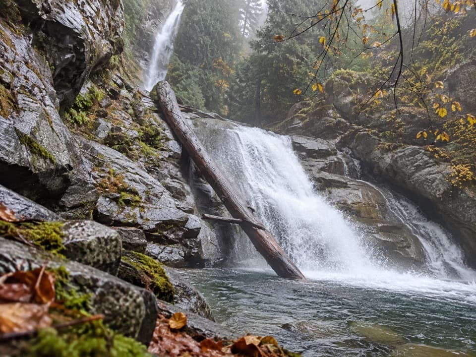
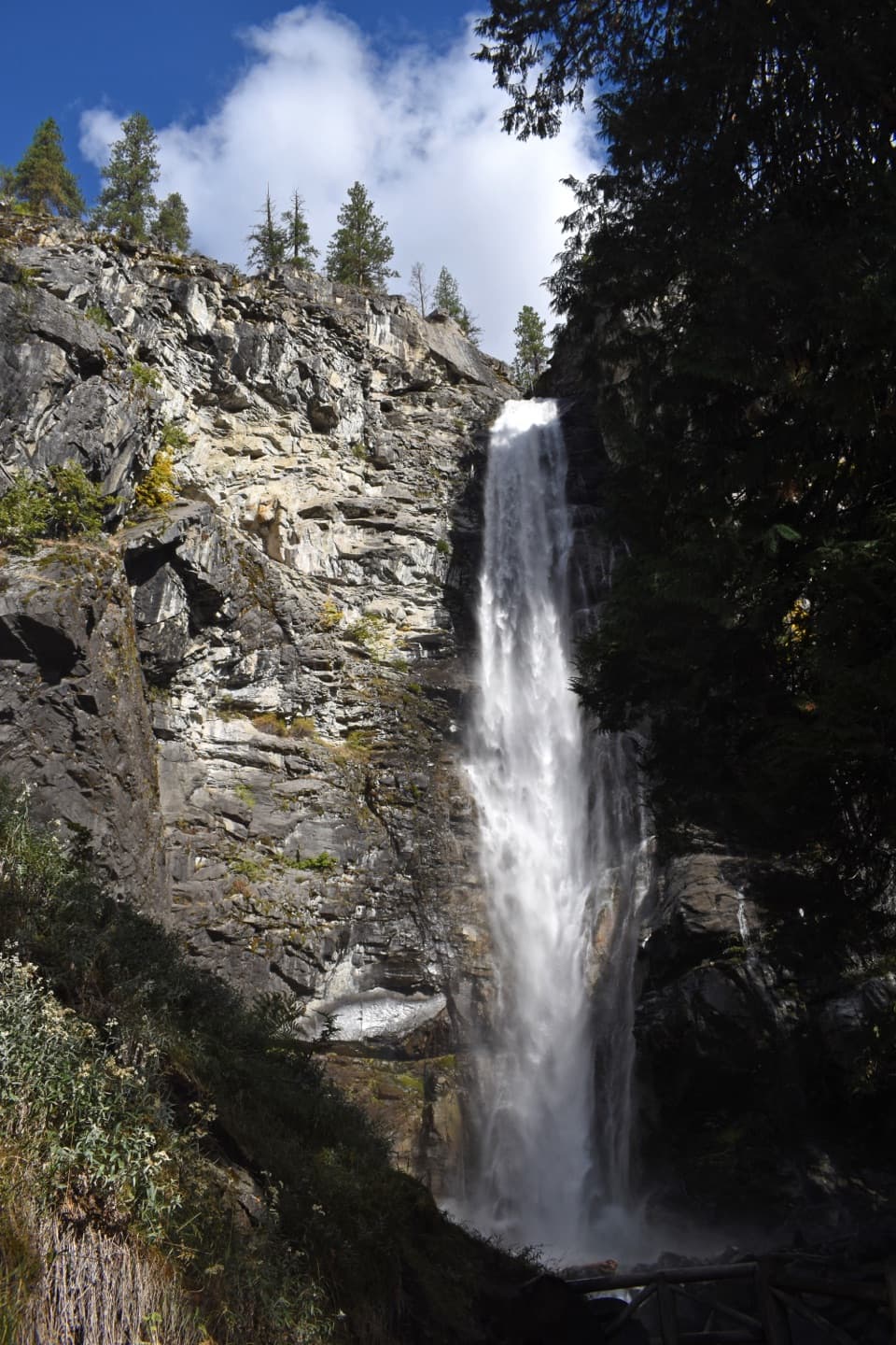
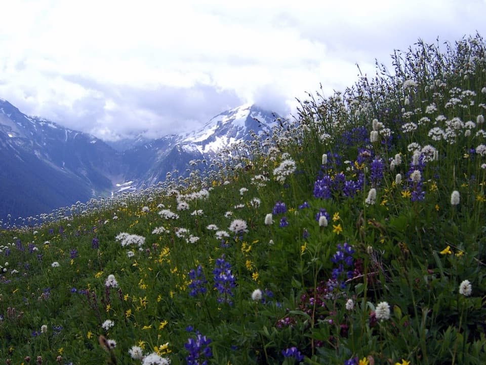
Sections burned in the 2010 Rainbow Bridge Fire leave some slopes open and sunny—hot on summer afternoons but great for views and spring wildflower shows. If you’re linking the loop via the road, it’s an easy add-on to visit Rainbow Falls from the roadside—one of the valley’s signature sights.

Distances and variations

  • Full “loop” (trail + road between trailheads): about 6.8 miles total.
  • Shorter outing from the upper trailhead: around 4.4 miles roundtrip to the high viewpoints.
  • Out-and-back versions can stretch to ~8.5–8.8 miles if you return to your starting trailhead entirely on dirt.

Most hikers take 3–3.5 hours for the 6.8-mile loop; expect more time if you tack on Rainbow Creek Trail or Rainbow Falls.

Best time to hike

Spring through early summer is prime. This route melts out earlier than higher North Cascades trails, wildflowers pop, and temperatures are friendlier for the exposed burn-scar sections. Start early on warm days for cooler temps and softer light on Lake Chelan. Shoulder seasons can be lovely; midsummer afternoons can feel toasty on the open slopes.

Logistics

You reach Stehekin by boat, small plane, or hiking in. Once there, both Rainbow Loop trailheads sit along Stehekin Valley Road and are served by the Stehekin shuttle (summer schedule runs four times daily). Biking the road between the landing, Rainbow Falls, and the trailheads is popular; bikes are not allowed on the trail itself. Leashed dogs are allowed here (a relative rarity in a national park setting).

Geology and nature notes

You’re walking the rim of a textbook, glacier-carved U-shaped valley. Rainbow Creek occupies a smaller tributary “hanging valley,” which explains Rainbow Falls and the dramatic benches you traverse. The trail climbs the remnants of an ancient alluvial fan to a bedrock shelf, with frequent vantage points into the deep Stehekin trough. Keep an eye out for spring bloom, antlions in sandy pockets, and the occasional bear sign.

Permits, etiquette, and cautions

Day hiking requires no permit. For overnights, you’ll need a backcountry permit; designated options include Rainbow Bridge Camp along the trail and Harlequin Camp near the road between trailheads. Expect to meet stock parties at times—step off on the downhill side and talk calmly to the lead rider. Ticks can be abundant in May–June. Parts of the trail are exposed and can be hot; carry ample water and sun protection. Mechanized and motorized equipment (including bikes) are prohibited on the trail; follow Leave No Trace in this heavily protected wilderness corridor.

Pros

  • Melts out earlier than most North Cascades hikes, making it a prime spring option
  • Shuttle and easy road connection make one-way or loop logistics simple
  • Dog friendly on leash within a national park unit

Cons

  • Not a true loop—requires a road walk to connect trailheads
  • Burn-scar sections offer limited shade and can be hot in summer

Parking

Reach the upper or lower trailheads via the Stehekin Valley shuttle (summer, four runs daily) or by biking Stehekin Valley Road from the landing; trailheads are along the road in the Stehekin Valley.

Caution

Ticks are common in May–June; some long, exposed burn-scar stretches get very hot. Expect occasional horseback traffic—yield on the downhill side. No bikes or other mechanized gear on trail.

The Parkwolf tour guide sitting on a phone mounted in a car

Parkwolf Tour Guide

Like a tour guide in your car.

Bring North Cascades trail research into the car, with offline maps and stories that play as you drive.Download Parkwolf on the App Store