Parking
Stehekin has no road access. Arrive by boat, float plane or on foot, then walk about five minutes from Stehekin Landing to the trailhead behind the Golden West Visitor Center.
North Cascades National Park, WA
A punishing climb to a tucked-away larch basin.
Overview
Map & elevation
Plan your hike

The highest, rockiest slopes around here are a summer buffet for grizzly bears.
North Cascades Tour Guide
Parkwolf is a GPS audio tour guide for North Cascades National Park. As you drive, it chimes in with what’s ahead: hidden gems, upcoming stops, history, geology, and wildlife, right through your car’s speakers.
See the North Cascades audio tourRecorded for this trailhead
Stehekin Landing and Golden West“You're approaching Stehekin Landing, the boat gateway at the head of Lake Chelan. Make this a waterfront break, with a short uphill walk to Golden West Visitor Center.”
Plays as you drive up to this trailhead in the Parkwolf North Cascades Tour Guide.
More stories near here in the app
“Fantastic app with many points of information… It’s great to just turn on while you’re driving and it gives you an audio tour of the national Park. We love it!!!!”


Trail guide
Purple Creek Trail is a 16-mile out-and-back from Stehekin Landing to Juanita Lake, climbing about 5,800 feet before a gentler drop into the high basin. It is a very strenuous, mostly exposed day hike, not a casual lake stroll. Allow about 12 hours and make sure your arrival and return to Stehekin fit your boat or float-plane plans. The payoff is a high pass with Lake Chelan and Glacier Peak Wilderness views, followed by a remote lake between Purple and War Creek passes.
Start behind the Golden West Visitor Center on the Imus Creek Trail, then turn right for Purple Creek shortly after the first bridge. The route climbs steadily from the valley, traverses a dry south-facing slope, then works back into the Purple Creek drainage on long switchbacks. That sunny traverse can be dusty, brushy and loose underfoot. Purple Creek, about two miles from the start, is the only reliable water before Juanita Lake, so carry what you need for the exposed climb beyond it.
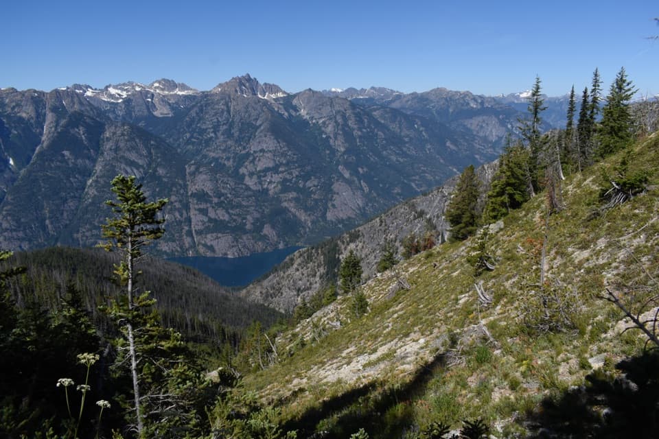
Above roughly 5,500 feet, the route reaches subalpine fir, larch, wildflowers and broader views. A final traverse across a granite face brings you to Purple Pass at about 6,900 feet. Lake Chelan sits far below, with ridges stretching west toward Glacier Peak Wilderness and peaks around Holden. This is the signature view; include some of the steep foreground with the lake in a wide photo.
A marked north spur shortly after the pass climbs about 0.5 mile and 450 feet to Boulder Butte, the site of an old fire lookout. Only scattered glass fragments remain, so leave them where they are. The 7,350-foot summit opens a 360-degree view up Stehekin Valley toward Cascade Pass and Mount Goode. It is an optional detour and is not part of the mapped route or 16-mile distance.
The main trail continues about half a mile beyond Purple Pass, descending gently to Juanita Lake at roughly 6,800 feet. The lake is shallow and reedy, in a meadow basin of larch and subalpine fir; separate hiker and stock camps sit on opposite sides, and the hiker camp looks down the Fourmile Creek drainage. Larch needles turn bright yellow in fall. Snow can cover the lake-area trails into early July and make the route harder to follow.
Stehekin has no road access: reach the landing by boat, float plane or on foot. The trail begins behind the visitor center, about a five-minute walk from the dock. Overnight stays require a limited backcountry permit; campfires are prohibited at Juanita Lake, and hunting is allowed in season, so wear bright colors then. Leashed pets are allowed in this Lake Chelan recreation area; keep them on a leash no longer than six feet.
If you are approaching from Twisp instead, the separate War Creek route reaches Juanita Lake in 9.3 miles one way with about 3,600 feet of gain. It is longer but less steep, and its trailhead requires a Northwest Forest or America the Beautiful pass.
Wildlife
 101 sightingsMountain GoatMost seen around 6 PMSighting map
 70 sightingsBlack BearMost seen around 8 PMSighting map
 20 sightingsMule DeerMost seen around 7 PMSighting map
 77 sightingsSooty GrouseMost seen around 6 AMSighting map
 23 sightingsWhite-tailed PtarmiganMost seen around 6 PMSighting map
 75 sightingsWestern ToadMost seen around 8 PMSighting map
Sighting maps show where each species has been reported across North Cascades. Wildlife moves, so no sighting is guaranteed.
Keep exploring
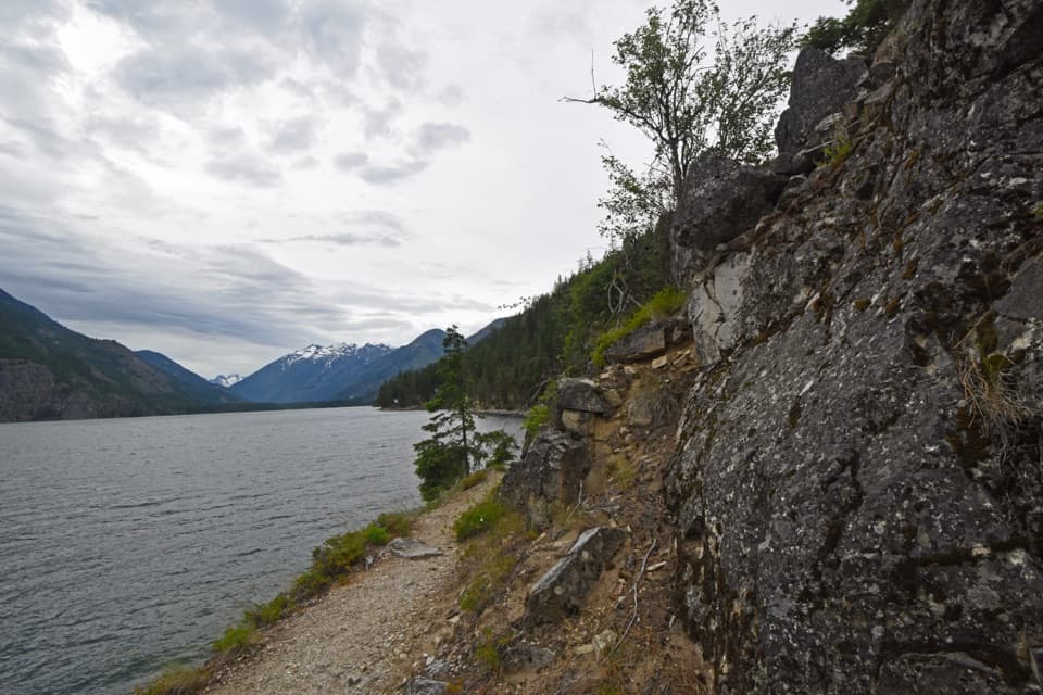 ModerateLakeshore Trail17.2 mi · 9 hr · At the trailheadThe long Lake Chelan traverse ends at Prince Creek.ChallengingPurple Pass / Boulder Creek Loop22.4 mi · 18 hr · 0.1 mi awayA hard climb to Purple Pass, then a long Boulder Creek descent.
 ChallengingDevore Creek Trail15 mi · 13 hr · 1.3 mi awayA steep backcountry route from Weaver Point into Ten Mile Basin.
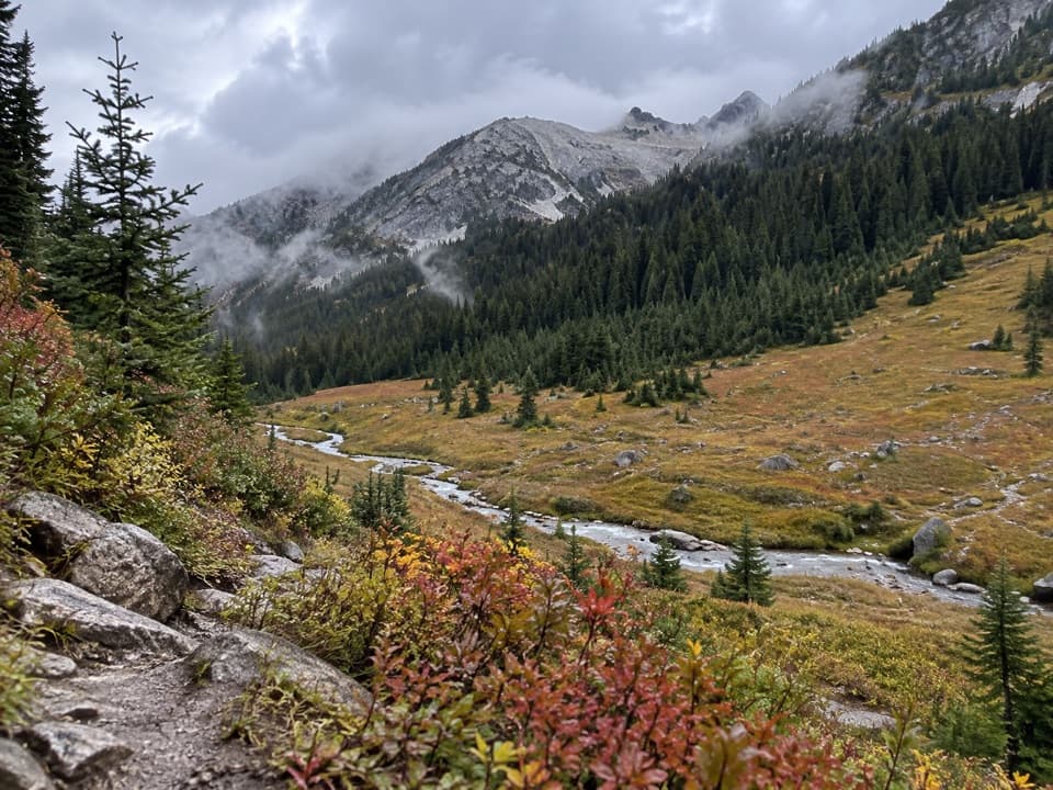 ChallengingBoulder Creek Trail11.2 mi · 10.5 hr · 2.4 mi awayAn 11-mile one-way climb from Stehekin into high country.
 ChallengingRainbow Creek Trail9.7 mi · 9 hr · 2.4 mi awayA hard climb into open meadows above Lake Chelan
 ModerateRainbow Loop Trail4.4 mi · 3.5 hr · 2.4 mi awayA 4.4-mile traverse for Lake Chelan and Stehekin Valley views.
 EasyBuckner Orchard Walk0.6 mi · 1 hr · 3.1 mi awayA shady ditch-side path opens onto a working historic orchard.
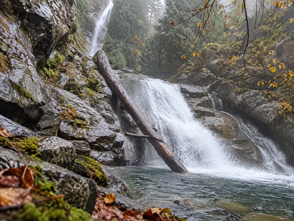 EasyRainbow Mist Trail0.3 mi · 20 min · 3.2 mi awayTwo viewpoints bring you close to a 312-foot waterfall.
 Campground · At the trailheadLakeview CampgroundA nine-site walk-in camp, five minutes from the landing.
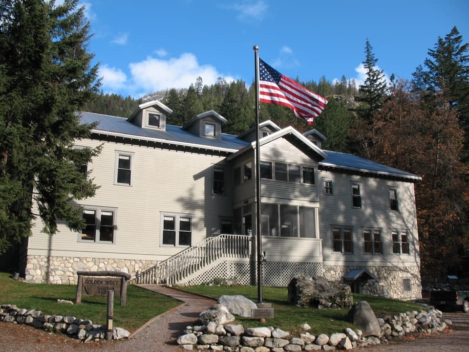 Visitor center · 0.1 mi awayGolden West Visitor CenterStehekin's visitor center sits inside a historic lodge.
 Sight · 0.1 mi awayStehekin LandingThe ferry dock is the doorway to a roadless valley.
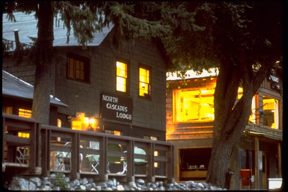 Lodging · 0.2 mi awayNorth Cascades Lodge at StehekinA lakeside Stehekin base reached by ferry, boat, or a long hike.
 Picnic area · 0.2 mi awayLakeview Point and Picnic AreaA picnic-table view into Stehekin’s glacier-carved valley.
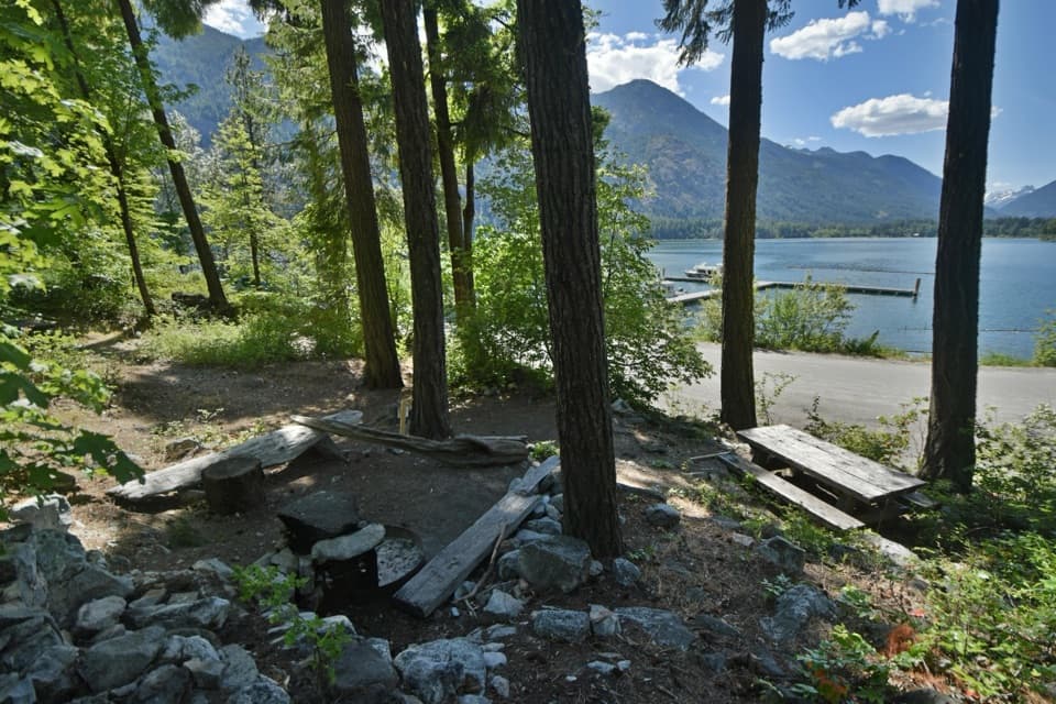 Campground · 0.4 mi awayPurple Point CampgroundSix walk-in tent sites, a short walk from Stehekin Landing.
 Campground · 1.1 mi awayWeaver Point CampgroundA boat-in Lake Chelan camp with a 3.5-mile trail approach.
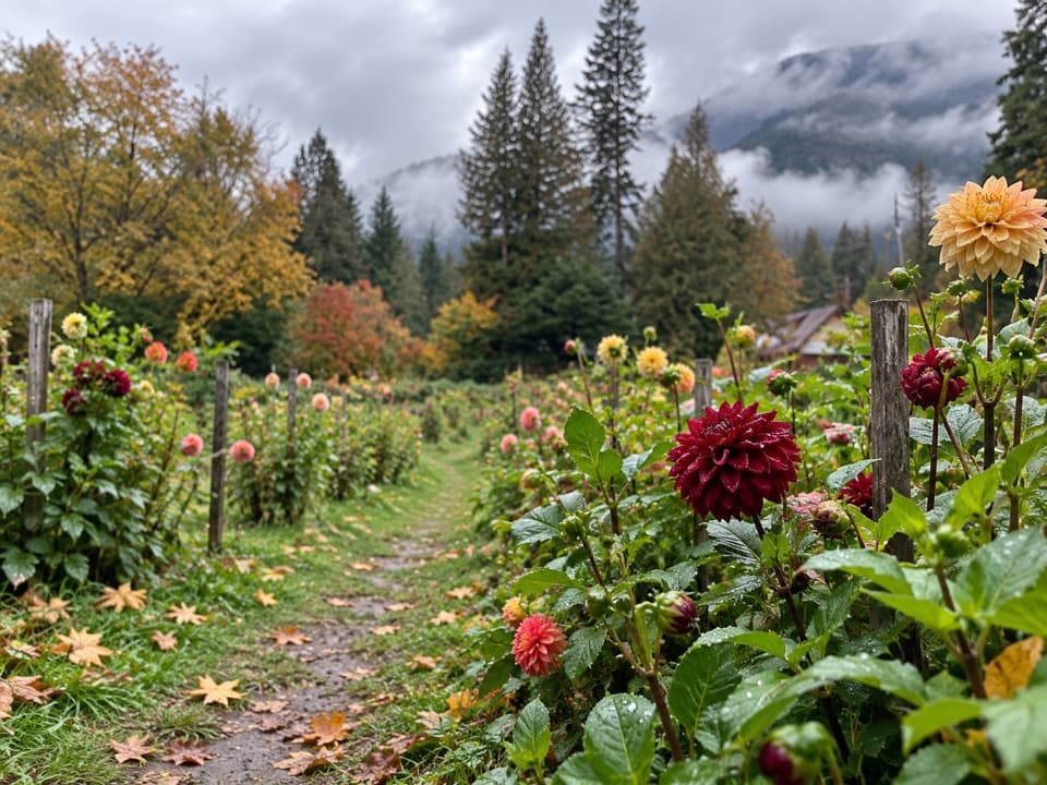 Store · 1.5 mi awayThe GardenA garden and farm stand for seasonal produce and homemade goat cheese.
Parkwolf’s North Cascades ranking

The audio tour guide for the drive, plus offline maps, trails, and wildlife heatmaps for when the signal drops.




