Parking
From Stehekin Landing, walk past the Golden West Visitor Center to Lakeview Campground; the signed trailhead is just south of the campground. Arrange the Prince Creek boat pickup in advance.
North Cascades National Park, WA
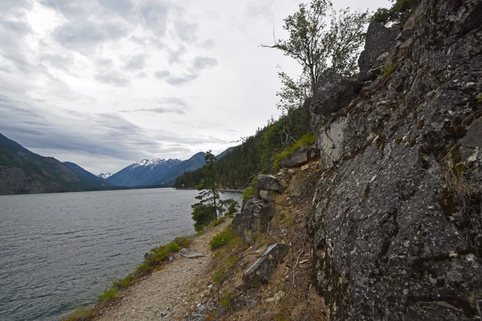
The long Lake Chelan traverse ends at Prince Creek.
Overview
Map & elevation
Plan your hike

The highest, rockiest slopes around here are a summer buffet for grizzly bears.
North Cascades Tour Guide
Parkwolf is a GPS audio tour guide for North Cascades National Park. As you drive, it chimes in with what’s ahead: hidden gems, upcoming stops, history, geology, and wildlife, right through your car’s speakers.
See the North Cascades audio tourRecorded for this trailhead
Stehekin Landing and Golden West“You're approaching Stehekin Landing, the boat gateway at the head of Lake Chelan. Make this a waterfront break, with a short uphill walk to Golden West Visitor Center.”
Plays as you drive up to this trailhead in the Parkwolf North Cascades Tour Guide.
More stories near here in the app
“Fantastic app with many points of information… It’s great to just turn on while you’re driving and it gives you an audio tour of the national Park. We love it!!!!”


Trail guide
The Lakeshore Trail is a 17.2-mile point-to-point route along Lake Chelan’s northeast shore, from the signed trailhead just south of Lakeview Campground in Stehekin to Prince Creek. The line here runs south from Stehekin. This is a full-day commitment: allow about nine hours on foot, then plan around the boat transfer. Arrange a pickup at Prince Creek ahead of time. The mileage and logistics make this a better fit for a long traverse or backcountry trip than a casual lake stroll.
The route follows the steep northeast side of Lake Chelan, with views across the water toward the surrounding peaks. It has little shade and few direct lake-access points, so expect more hiking above the shore than walking beside the water. The trail’s elevation gain and loss is modest by mountain-route standards: published figures are about 500 feet within the park complex and up to 1,100 feet on the southern section. The distance, not a summit climb, is the main effort.
You can use the same trail for a shorter out-and-back. Flick Creek Camp is about 3.5 miles one way, Hunts Bluff about 5, and Moore Point about 7. Double those figures if you return to Stehekin on foot. These are useful choices when you want the shoreline without committing to the whole through-hike.
Just beyond Flick Creek, around mile 3.5, the route leaves the North Cascades National Park Service Complex and enters Okanogan-Wenatchee National Forest. Vault toilets and picnic tables are available at Flick Creek, Moore Point, and Prince Creek. Backcountry camping is allowed at Flick Creek and on National Forest land without a backcountry permit. Keep dogs leashed.
Wildlife
 101 sightingsMountain GoatMost seen around 6 PMSighting map
 70 sightingsBlack BearMost seen around 8 PMSighting map
 20 sightingsMule DeerMost seen around 7 PMSighting map
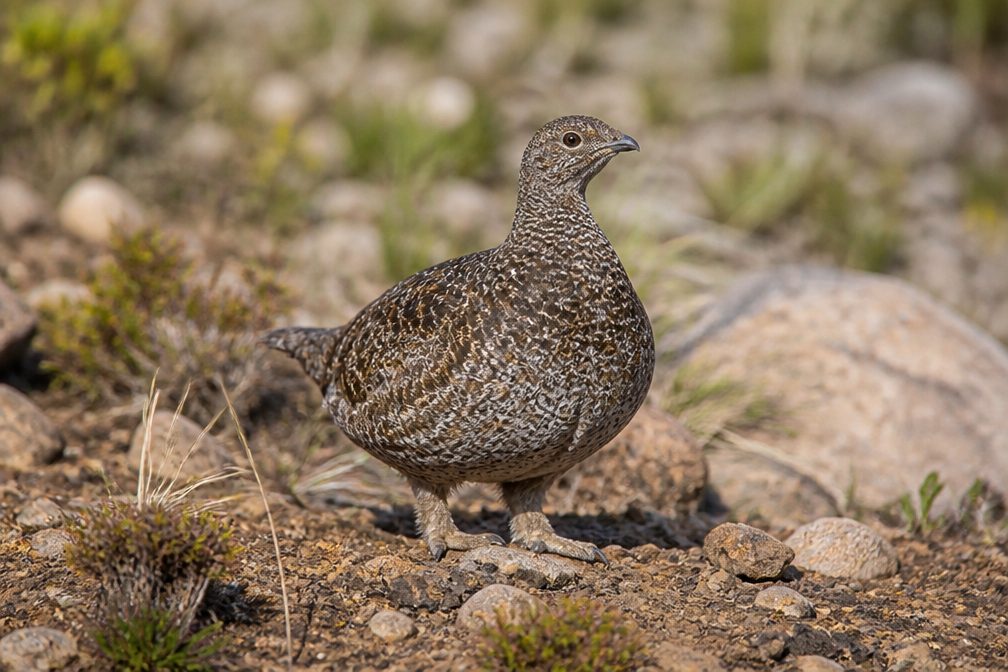 77 sightingsSooty GrouseMost seen around 6 AMSighting map
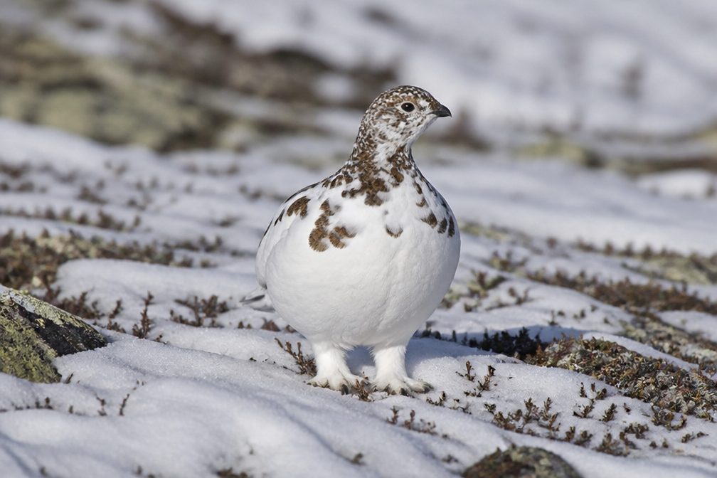 23 sightingsWhite-tailed PtarmiganMost seen around 6 PMSighting map
 75 sightingsWestern ToadMost seen around 8 PMSighting map
Sighting maps show where each species has been reported across North Cascades. Wildlife moves, so no sighting is guaranteed.
Keep exploring
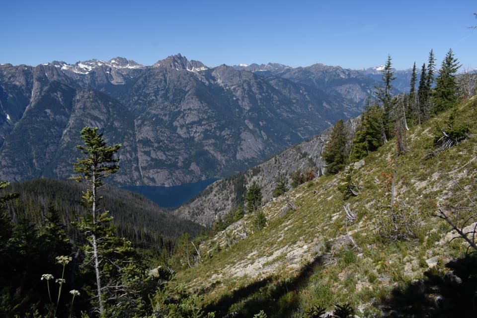 ChallengingPurple Pass / Boulder Creek Loop22.4 mi · 18 hr · At the trailheadA hard climb to Purple Pass, then a long Boulder Creek descent.ChallengingPurple Creek Trail16 mi · 12 hr · At the trailheadA punishing climb to a tucked-away larch basin.
 ChallengingDevore Creek Trail15 mi · 13 hr · 1.3 mi awayA steep backcountry route from Weaver Point into Ten Mile Basin.
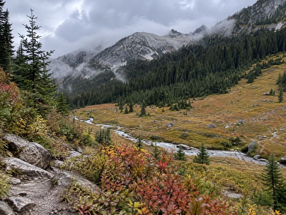 ChallengingBoulder Creek Trail11.2 mi · 10.5 hr · 2.4 mi awayAn 11-mile one-way climb from Stehekin into high country.
 ChallengingRainbow Creek Trail9.7 mi · 9 hr · 2.4 mi awayA hard climb into open meadows above Lake Chelan
 ModerateRainbow Loop Trail4.4 mi · 3.5 hr · 2.4 mi awayA 4.4-mile traverse for Lake Chelan and Stehekin Valley views.
 EasyBuckner Orchard Walk0.6 mi · 1 hr · 3 mi awayA shady ditch-side path opens onto a working historic orchard.
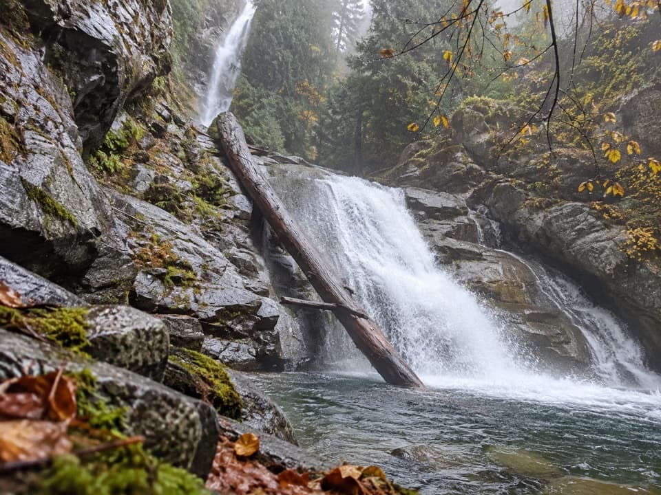 EasyRainbow Mist Trail0.3 mi · 20 min · 3.2 mi awayTwo viewpoints bring you close to a 312-foot waterfall.
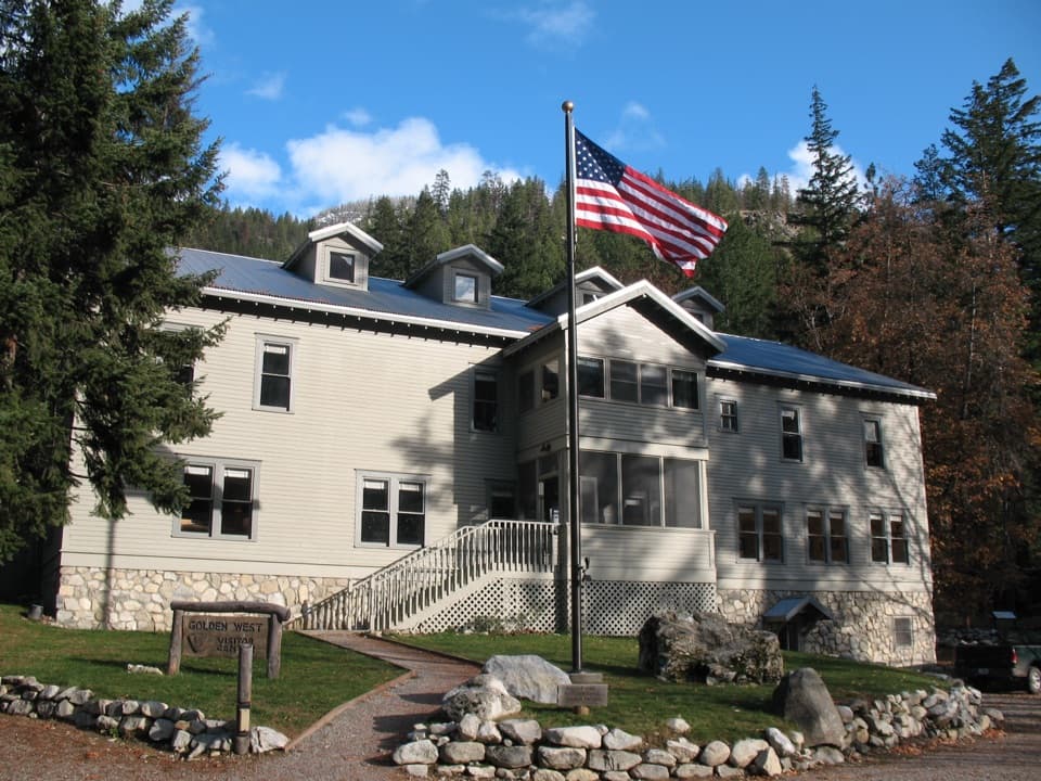 Visitor center · At the trailheadGolden West Visitor CenterStehekin's visitor center sits inside a historic lodge.
 Campground · 0.1 mi awayLakeview CampgroundA nine-site walk-in camp, five minutes from the landing.
 Sight · 0.1 mi awayStehekin LandingThe ferry dock is the doorway to a roadless valley.
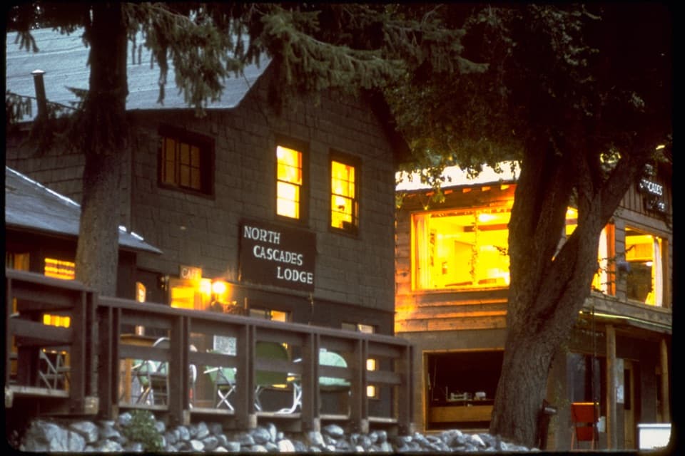 Lodging · 0.1 mi awayNorth Cascades Lodge at StehekinA lakeside Stehekin base reached by ferry, boat, or a long hike.
 Picnic area · 0.2 mi awayLakeview Point and Picnic AreaA picnic-table view into Stehekin’s glacier-carved valley.
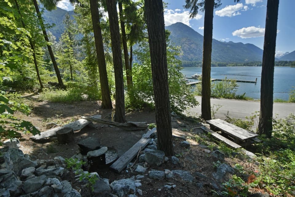 Campground · 0.4 mi awayPurple Point CampgroundSix walk-in tent sites, a short walk from Stehekin Landing.
 Campground · 1.1 mi awayWeaver Point CampgroundA boat-in Lake Chelan camp with a 3.5-mile trail approach.
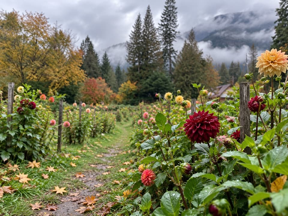 Store · 1.5 mi awayThe GardenA garden and farm stand for seasonal produce and homemade goat cheese.
Parkwolf’s North Cascades ranking

The audio tour guide for the drive, plus offline maps, trails, and wildlife heatmaps for when the signal drops.