Hawnby Circular in North York Moors National Park

North York Moors National Park, EN

Hawnby Circular

A hilly mix of woodland, river crossings and open moorland.

Photo: Wikimedia Commons
Length
4.3km
Time
1hr
Elev. change
77m
Difficulty
Easy
  • Loop
  • High point 215 m
  • #36 of 126 in North York Moors

Hear the audio tour

Hazel Heads and Anya's Wood

Overview

About Hawnby Circular

Why go

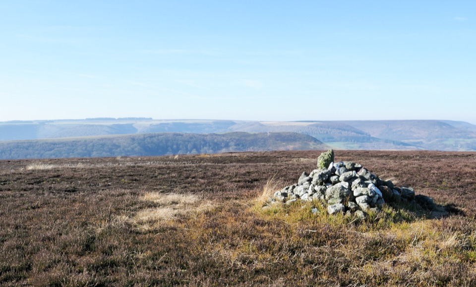
  • Varied woodland, river and moorland scenery
  • Good birdwatching stops by the Rye and Blow Gill

Heads up

  • Several stiles and one steep climb
  • Informal grassy parking and narrow approach roads

Map & elevation

The route

Loading the North York Moors map
Full map
Elevation138–215 m
TrailheadHazel Heads Car Park54.32831, -1.18818
Keep this map with you offline in the Parkwolf app

Plan your hike

Before you go

Parking

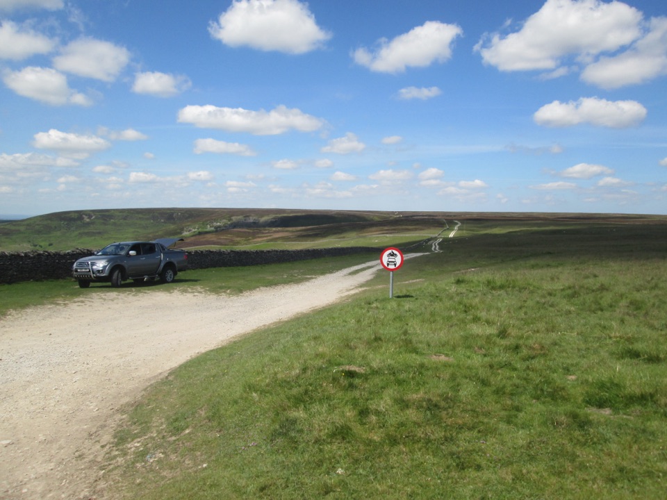
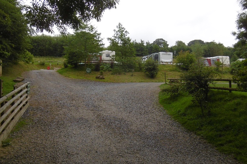
Use Hazel Heads Car Park, the Anya's Wood parking area, at grid reference SE 529 928 near postcode DL6 3QF. It is an informal grassy area that can look like a plain field when empty; use the Anya's Wood interpretation sign by the wall to identify it. The route entrance is not through the plantation gate: use the right-of-way stile about 50 m farther north along the road, or pick up the walk through Anya's Wood from the parking area.


Safety

Uneven ground, rough pasture, bridges, stiles and fence crossings, plus a steep climb at Brewster Hill. The route also includes a short road section at Blow Gill and a field crossing; follow the waymarkers and use the right-of-way access rather than the plantation gate.

8 active North York Moors alerts

  • ClosureHawnby Bridleway 110 closurePublic Bridleway 25.122/110/1 in Hawnby is closed to pedestrians, cyclists and equestrians because its bridge is unsafe. - The closure is between grid references SE 5309 9073 and SE 5335 9097.Official details
  • ClosureWest Ayton Footpath 1 closurePublic Footpath 1 in West Ayton (Forge Valley) is temporarily closed because its boardwalk is unsafe. - The closure is between SE 9860 8494 and SE 9839 8712.Official details
See all 8 alerts
A park ranger sits on a dash-mounted phone, talking, as Parkwolf’s Tour Guide plays “Army Cutworm Moths: A Grizzly Bear Buffet” on Grand Loop Road below Dunraven Pass in Yellowstone
Parkwolf Tour GuideThe highest, rockiest slopes around here are a summer buffet for grizzly bears.

North York Moors Tour Guide

Your drive to Hawnby Circular, narrated.

Parkwolf is a GPS audio tour guide for North York Moors National Park. As you drive, it chimes in with what’s ahead: hidden gems, upcoming stops, history, geology, and wildlife, right through your car’s speakers.

Recorded for this trailhead

Hazel Heads and Anya's Wood
0:00 / 0:25
“You're nearing Hazel Heads Car Park by Anya's Wood, the start of a short Hawnby loop that packs river, woodland and a little open moor into one walk.”

Plays as you drive up to this trailhead in the Parkwolf North York Moors Tour Guide.

More stories near here in the app

  • Hawnby Hill and Easterside Hill
  • Why Hawnby Has Two Halves
  • The Deer That Barks
  • Hambleton Drove Road Viewpoint
  • 298 audio storiesacross North York Moors’s roads, triggered by GPS as you drive
  • Wildlife heatmapsfor Eurasian Otter, Red Deer, Grey Seal, and 13 more
  • Works offlinemaps, 126 trails, 65 places, and audio download before you lose signal
  • CarPlay readysimple controls built for the drive
★★★★★
“Fantastic app with many points of information… It’s great to just turn on while you’re driving and it gives you an audio tour of the national Park. We love it!!!!”
JMJamesApp Store review
Download Parkwolf on the App StoreGet Parkwolf on Google Play

4.7 from 8,600+ ratings

Trail guide

Hiking Hawnby Circular

The basicsA closed loop of 2.7 miles (about 4.

A closed loop of 2.7 miles (about 4.3 km) starting and finishing at the Anya's Wood parking area near Hawnby, in the North York Moors. Allow around 1 hour at a steady pace, with 123 m of ascent and 119 m of descent between 137 m and 218 m. It is graded easy, but that means short rather than effortless.

This is the short Hawnby circular from Hazel Heads. The longer Hawnby Hill and Hawnby Round circuits are separate routes, and this one does not go over the summit of Hawnby Hill.

How the walk goesSet off through Anya's Wood to its northeastern corner and cross a bridge.
  • Set off through Anya's Wood to its northeastern corner and cross a bridge.
  • Drop down through woodland to the River Rye and a second bridge.
  • Follow waymarkers through farmland and past ancient trees, then take a steep pull up to Brewster Hill, where the outbuildings are unusually ornate.
  • Descend through woodland and rough pasture, cross another bridge, and climb through the farm to the road at Blow Gill, with its old lime kiln.
  • Walk about 150 m up the road, cross a stile on the right and a field over Blow Gill, then climb through woodland.
  • Cross a fence for a short moorland stretch past the Old Chapel, turn south at the top, follow woodland past the old farm, and come back through open grassland to the road and Anya's Wood.
Underfoot and how hard it feelsAbout 83% of the route is on path, with short sections of asphalt, dirt road and rougher forest…

About 83% of the route is on path, with short sections of asphalt, dirt road and rougher forest trail. Expect uneven ground, bridges, stiles, rough pasture and fields, plus that one steep climb. The distance is modest, so most reasonably active walkers will manage it comfortably, but it is a hilly countryside walk rather than a level or step free one. Grass and woodland sections can be slippery after rain, so boots with grip are worth having.

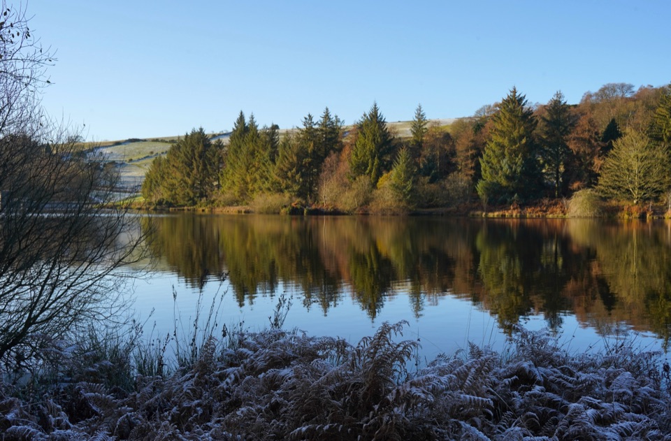
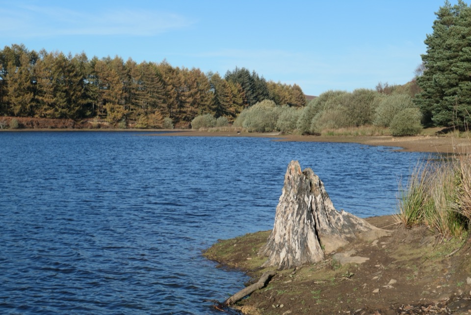
Scenery and wildlifeThe variety is the payoff: riverside and beck, mixed woodland, farmland with old trees, open…

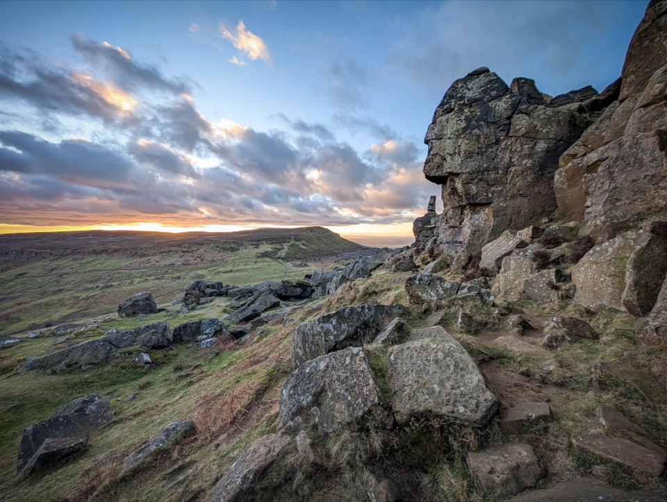
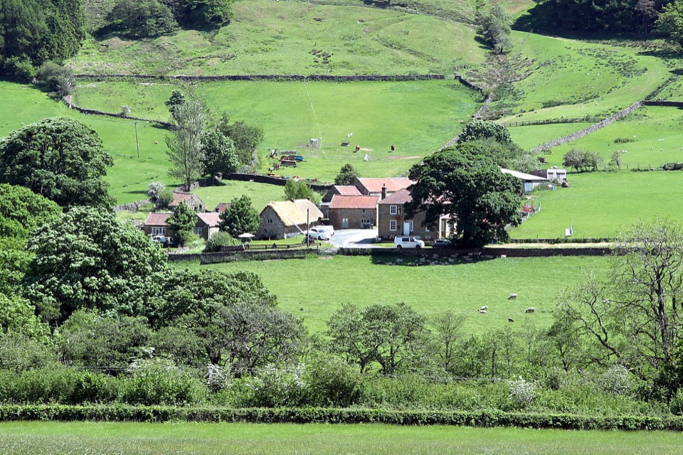
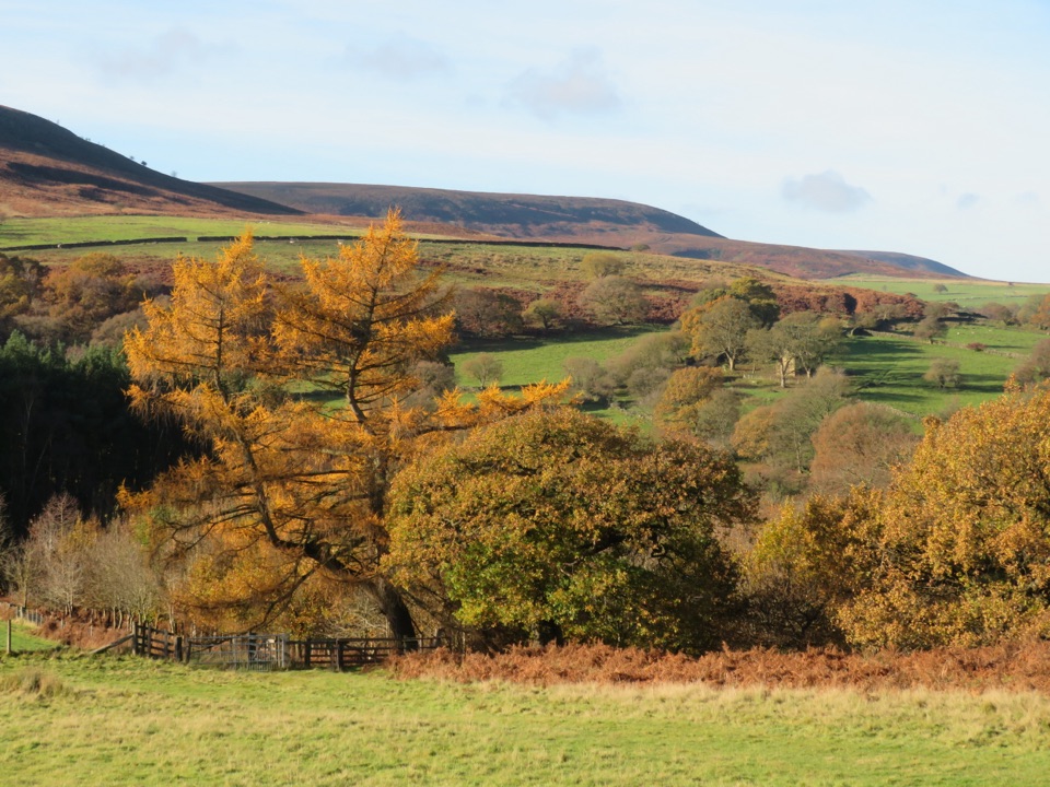
The variety is the payoff: riverside and beck, mixed woodland, farmland with old trees, open grassland and a brief taste of moorland with wider views from the high point around 218 m. Two birds are worth slowing down for:

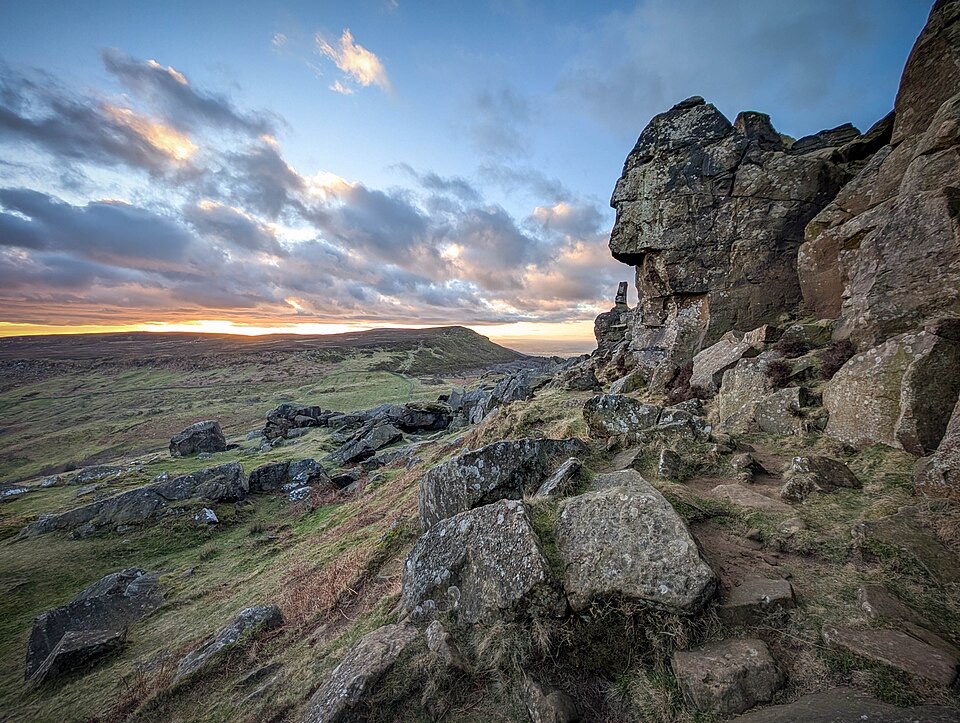
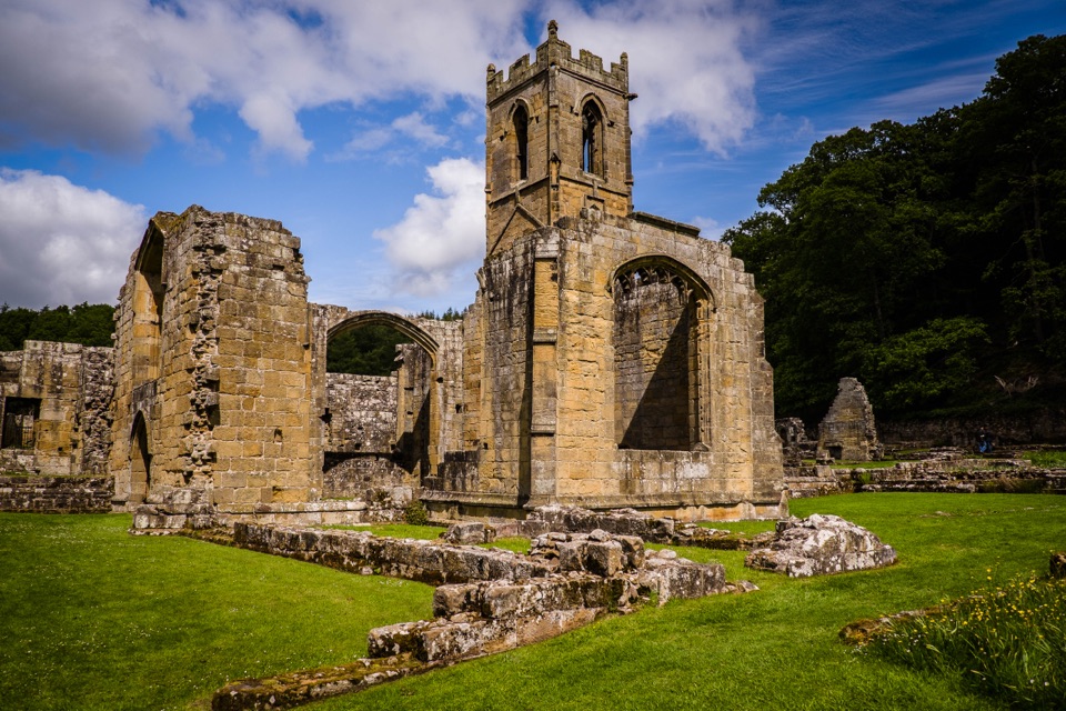
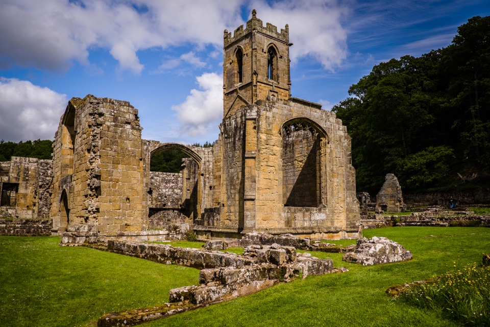
The lime kiln at Blow Gill, the Old Chapel and the decorative outbuildings at Brewster Hill are the built highlights, and all photograph well in low, angled light early or late in the day.

  • Dipper at the River Rye bridge, bobbing on rocks in the shallows.
  • Pied Flycatcher around the beck at Blow Gill.
Parking and getting startedUse Hazel Heads Car Park, the Anya's Wood parking area, at grid reference SE 529 928, near…

Use Hazel Heads Car Park, the Anya's Wood parking area, at grid reference SE 529 928, near postcode DL6 3QF. It is an informal grassy area rather than a formal surfaced car park, so when empty it can look like a plain field. Look for the Anya's Wood interpretation sign by the wall to confirm you are in the right place. Approach roads are narrow and rural, so allow time and drive accordingly.

One easy mistake to avoid at the start: the way onto the route is not through the plantation gate. The right of way stile sits about 50 m farther north along the road, or you can pick up the walk through Anya's Wood from the parking area.

Honest tradeoffsIt is a short loop with a lot packed in, which also means frequent changes of surface, several…

It is a short loop with a lot packed in, which also means frequent changes of surface, several stiles and gates, and a climb that will have you breathing hard. If you want a gentle, flat stroll or a big summit day, this is not it. If you want an hour of varied Rye valley walking with good chances of river birds, it delivers.

Wildlife

Wildlife in North York Moors

All North York Moors wildlife maps

Sighting maps show where each species has been reported across North York Moors. Wildlife moves, so no sighting is guaranteed.

Keep exploring

Near Hawnby Circular

See it all on the map

Trails that start nearby

Places near the trailhead

Parkwolf’s North York Moors ranking

Top-rated trails in North York Moors

All 126 trails
  1. 1Cleveland Way National TrailChallenging · 175.4 km
  2. 2Coast to Coast Path National TrailChallenging · 305.8 km
  3. 3Roseberry Topping and Cook’s MonumentModerate · 11.6 km
  4. 4Levisham Moor & Hole of HorcumModerate · 8.4 km
  5. 5Ravenscar to Robin Hood's BayChallenging · 17.7 km
  6. 6Lyke Wake WalkChallenging · 64.7 km

Take Parkwolf to North York Moors.

The audio tour guide for the drive, plus offline maps, trails, and wildlife heatmaps for when the signal drops.

4.7 from 8,600+ ratings

Download Parkwolf on the App StoreGet Parkwolf on Google Play