Parking
Start at Whitby Swing Bridge. Marina Front and Marina Back Car Parks on Langborne Road are nearby named options; walk to the bridge.
North York Moors National Park, EN
Climb the 199 Steps, walk clifftops, loop home on the Cinder Track
Overview
A circular walk starting and finishing at Whitby Swing Bridge. The figure quoted here, 7.9 miles (12.7 km), is the total for the whole loop, not a one way distance. You may see it described as a 7 mile walk elsewhere; that is a rounded number, and the mapped line measures closer to 7.9 miles. Allow around 4 hours 10 minutes at a steady pace, with about 222 m of ascent and the same descent, a high point near 115 m and a low point at roughly sea level.
Map & elevation
Plan your hike

The highest, rockiest slopes around here are a summer buffet for grizzly bears.
North York Moors Tour Guide
Parkwolf is a GPS audio tour guide for North York Moors National Park. As you drive, it chimes in with what’s ahead: hidden gems, upcoming stops, history, geology, and wildlife, right through your car’s speakers.
Recorded for this area
Endeavour Was a Coal Ship“Whitby’s most famous ship began as a coal carrier. Built in the town in 1764 and named Earl of Pembroke, she had a sturdy, flat-floored hull made for heavy loads and shallow harbours.”
Plays on the road 1 km from the trailhead in the Parkwolf North York Moors Tour Guide.
More stories near here in the app
“Fantastic app with many points of information… It’s great to just turn on while you’re driving and it gives you an audio tour of the national Park. We love it!!!!”


Trail guide
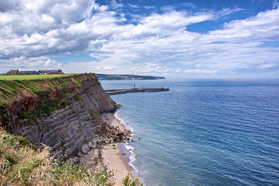
From the bridge you climb up through the old town and the 199 Steps to the Whitby Abbey area, then pick up the Cleveland Way / King Charles III England Coast Path and follow the coast south toward High Hawsker. The return is inland, through field and path sections and along the Cinder Track corridor, dropping back to the River Esk and the bridge. The contrast is the point: harbour, abbey and shipwreck views on the coastal half, quieter farmland and old railway line on the way back. Whitby is also known for its traditional kippers if you want a reason to linger at the end.
Moderate. Nothing technical, but the 199 Steps are a genuinely demanding pull early on, and the route keeps changing surface and gradient rather than settling into one rhythm. Steady rather than steep for most of the coastal and inland sections.
Roughly 40% asphalt, 35% path, 13% dirt road, 9% forested or wilder trail and 2% road. In practice that means town pavement and short road stretches, then coast path, field tracks and the graded Cinder Track. This is a town and coast walk rather than a remote wilderness hike, but the middle section is still exposed and open.
The coastal section runs beside high, unfenced cliffs. Keep well back from the edge, especially with children, and do not stray onto the seaward side of the path. Expect stiles on the inland sections, and livestock in farm fields is common, so leave gates as you find them and give animals room.
The town streets, the steps and the abbey area draw plenty of visitors and are likely to feel busy. The coastal and inland stretches are generally the quieter, more open part of the day.
Primary access is at Whitby Swing Bridge; the mapped start sits about 27 m from the bridge itself, which is just a short access offset. Marina Front Car Park and Marina Back Car Park on Langborne Road are the durable nearby parking options, a short walk from the bridge. This is a public, legal walking route on rights of way and no permit is needed.
Wear shoes you can both walk pavement and cross muddy field paths in, carry water and a windproof layer for the exposed clifftop, and plan the climb early rather than saving it for tired legs. Dogs are allowed on rights of way: keep them on a short lead near livestock and under close control around cliffs, roads, cyclists and other walkers. In most moorland areas dogs must stay on rights of way, and between 1 March and 31 July a lead under 2 metres is required on moorland to protect ground nesting birds. Note this is the full circular visitor walk from the Swing Bridge, which is a different route from the separate Whitby and Hawsker Circular and from the Cleveland Way long distance trail.
Wildlife
 15 sightingsEurasian OtterMost seen around 7 PMSighting map
 10 sightingsRed DeerMost seen around 7 AMSighting map
 79 sightingsGrey SealMost seen around noonSighting map
 26 sightingsWestern Barn OwlMost seen around 7 PMSighting map
 33 sightingsEuropean BadgerMost seen around 7 PMSighting map
 10 sightingsMute SwanMost seen around noonSighting map
Sighting maps show where each species has been reported across North York Moors. Wildlife moves, so no sighting is guaranteed.
Keep exploring
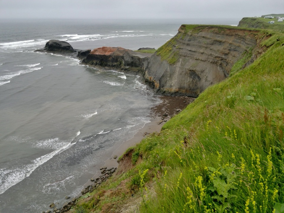 ModerateWhitby to Robin Hood's Bay11.3 km · 3.8 hr · At the trailheadSeven clifftop miles from the 199 Steps to Robin Hood's Bay
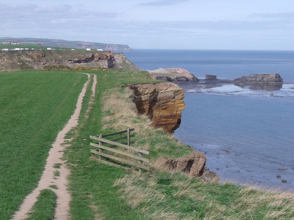 ModerateWhitby and Hawsker Circular12.7 km · 3.8 hr · At the trailheadCliff-top Cleveland Way out, easy Cinder Track home, past Whitby Abbey
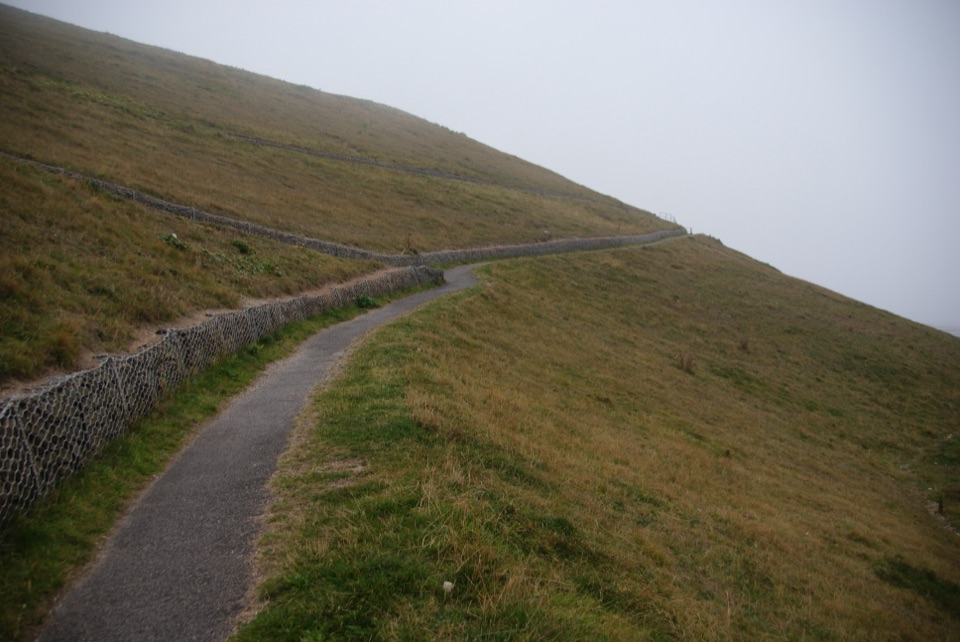 EasyMiles without Stiles (For all) - Whitby3.1 km · 1.1 hr · 0.6 km awayLevel clifftop path above Whitby Abbey, out and back with sea views
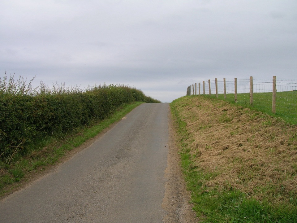 ModerateMulgrave Way14.5 km · 4 hr · 4.2 km awayNine miles one way from Sandsend's coast to Glaisdale's Esk Valley
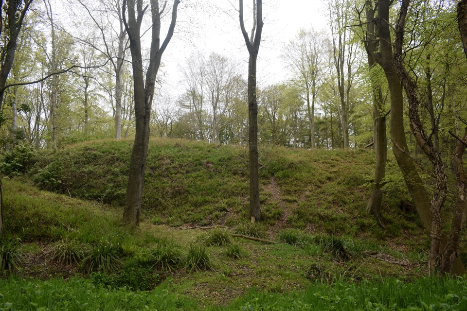 ModerateFoss Mill Crossing8 km · 2.8 hr · 7 km awayField paths and beck bridges to Foss Mill's ruins and Foss Castle
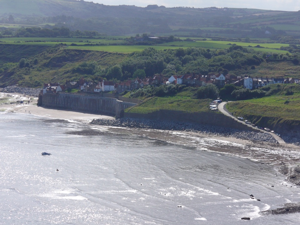 EasyRobin Hood's Bay Miles without Stiles Walk1.4 km · 45 min · 7.5 km awaySurfaced clifftop stroll to a sweeping view across the bay to Ravenscar
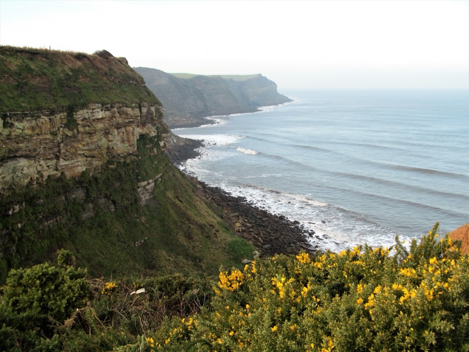 ModerateRobin Hood's Bay and Maw Wyke9.7 km · 4 hr · 7.6 km awayClifftop seabird views to a sheltered inlet, easy railway return
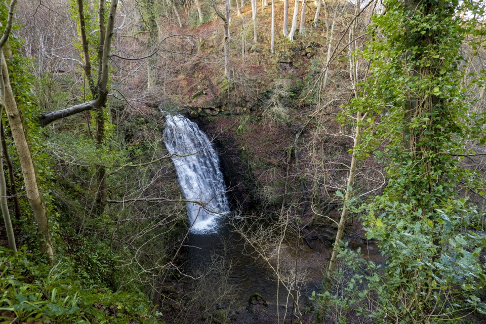 ModerateMay Beck and Falling Foss3.1 km · 1.5 hr · 8.6 km awayShady woodland loop to a waterfall, tea garden and beckside path
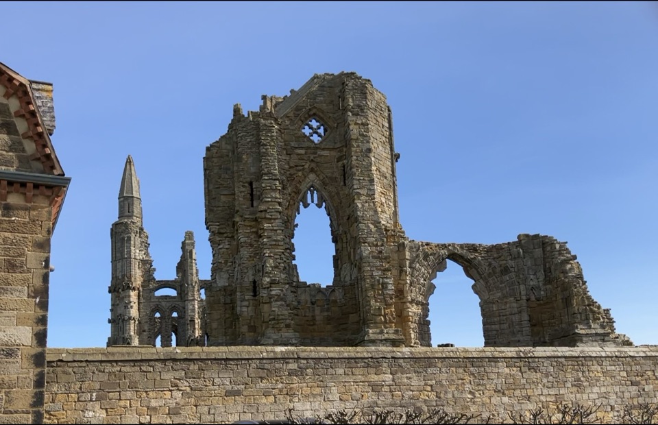 Sight · 0.4 km awayWhitby AbbeyGothic clifftop ruins above Whitby, from St Hild to Dracula
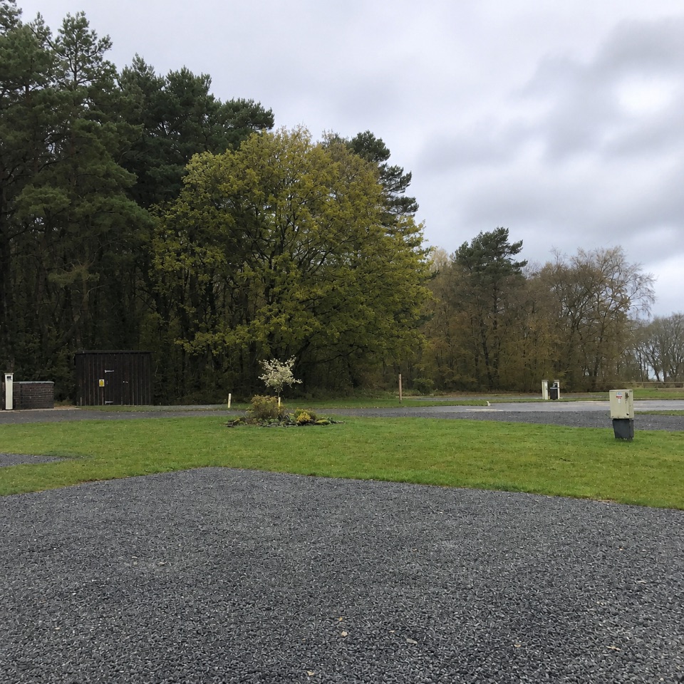 Campground · 7.1 km awayNorth Yorkshire Moors Club CampsiteQuiet wooded pitches with moorland views and walks from the gate
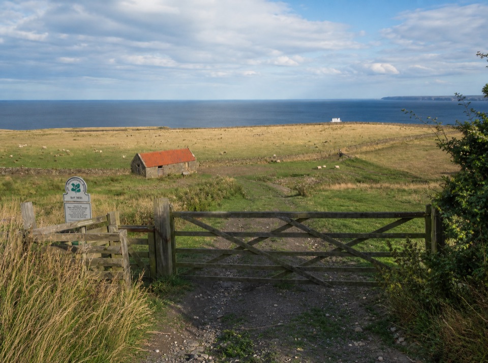 Campground · 7.2 km awayBay Ness Farm CampsiteSea-view farm pitches a short walk above Robin Hood's BaySight · 7.7 km awayFalling Foss WaterfallA 9-metre fall of water in a steep, wooded valley near Whitby
 Sight · 7.9 km awayRobin Hood's Bay and BeachCobbled smugglers' village tumbling to Jurassic rock scaurs and rockpools
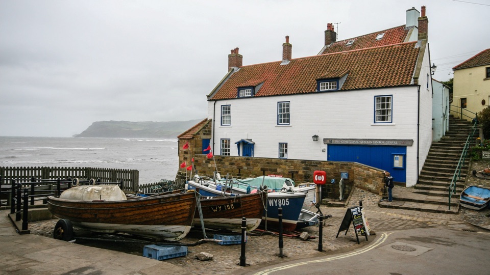 Sight · 8.2 km awayThe Old Coastguard StationSea-edge stone by the slipway, with rock scaurs at low tide
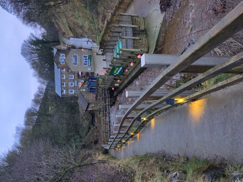 Beach · 8.9 km awayBoggle HoleTide-timed cove of ridged scaurs, rock pools and fossil-flecked shingle
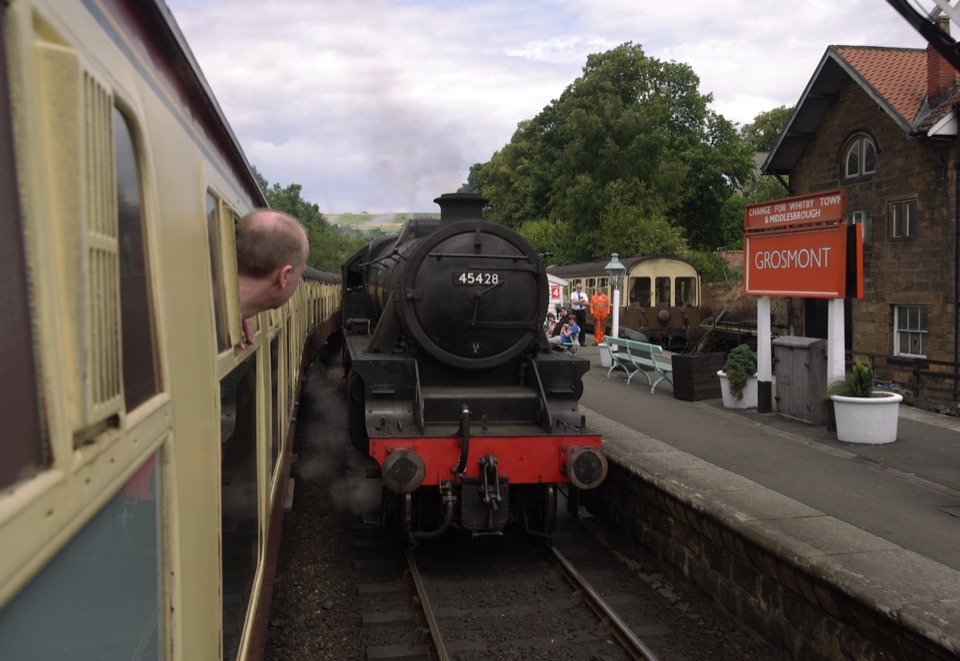 Sight · 9.2 km awayGrosmont StationEngine sheds, an 1835 tunnel and steam locomotives at work
Parkwolf’s North York Moors ranking

The audio tour guide for the drive, plus offline maps, trails, and wildlife heatmaps for when the signal drops.





