Parking
Start in central Whitby at Swing Bridge and St Ann's Staith, using the town's signed public car parks. Because the walk is linear, arrange your return from Robin Hood's Bay before setting out.
North York Moors National Park, EN
Seven clifftop miles from the 199 Steps to Robin Hood's Bay
Overview
Map & elevation
Plan your hike

The highest, rockiest slopes around here are a summer buffet for grizzly bears.
North York Moors Tour Guide
Parkwolf is a GPS audio tour guide for North York Moors National Park. As you drive, it chimes in with what’s ahead: hidden gems, upcoming stops, history, geology, and wildlife, right through your car’s speakers.
Recorded for this area
Endeavour Was a Coal Ship“Whitby’s most famous ship began as a coal carrier. Built in the town in 1764 and named Earl of Pembroke, she had a sturdy, flat-floored hull made for heavy loads and shallow harbours.”
Plays on the road 1 km from the trailhead in the Parkwolf North York Moors Tour Guide.
More stories near here in the app
“Fantastic app with many points of information… It’s great to just turn on while you’re driving and it gives you an audio tour of the national Park. We love it!!!!”


Trail guide
This is a point-to-point coastal section of the Cleveland Way, measured one way at 7.0 miles (11.26 km). There is no loop back, so plan your return before you set off. Most walkers take about 3 to 4 hours with photo stops and the ordinary climbs along the way.
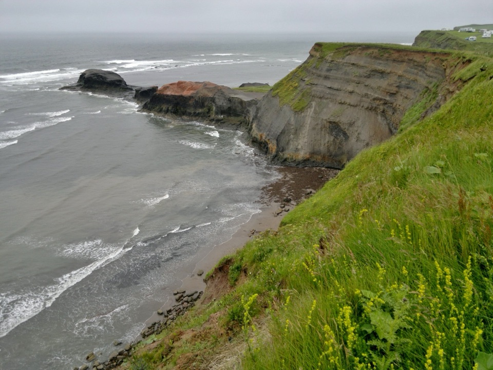
Start at the Swing Bridge and St Ann's Staith in central Whitby, using the town car parks as your access point rather than a dedicated trail lot. The climb up the 199 Steps comes early, bringing you to the Abbey side of the headland. From there the signed path turns south past Saltwick Bay, on past the high lighthouse and former foghorn station, then follows the cliff line across fields and tracks to the upper village of Robin Hood's Bay. Any cafe along the way may or may not be open when you pass.
Moderate, around 5 out of 10. The path is well signed and the footing is reasonably straightforward, but the steps, the repeated ups and downs, gates and field paths, and a few stream crossing places all add up. Winter and wet spells bring mud. Terrain samples along the corridor range from roughly sea level to about 89 m, which gives a sense of the rolling clifftop profile rather than a total ascent figure. A current map or GPS is worth carrying even on a signed trail.
Sections run close to unfenced, sheer cliff edges, and near Robin Hood's Bay the path narrows between the drop and houses. Keep children close and stay away from the edge, especially in wind.
Dogs are allowed on this public rights of way route. Keep them on a short lead or under close control near livestock and along unfenced cliffs, and never let them chase animals or birds. Short leads matter most in sensitive nesting periods.
At the eastern end of Mount Pleasant North in Robin Hood's Bay, coastal erosion has led to a long-standing inland diversion: the route crosses Rocket Post Field and drops down an accessible ramp onto a short stretch of the Cinder Track as it enters the village. Follow the waymarked diversion and do not attempt the eroded cliff line.
The walk ends at the upper village, near the Station Road and Bank Top parking area, where there is food and onward public transport. The stored route stops at the village approach and does not descend to the shore; the walk down into the lower village is steep and vehicle access there is difficult. For the return, walkers commonly either follow the inland Cinder Track back toward Whitby or take the X93/X94 bus from Thorpe Lane. Check current times yourself, as services vary.
Wildlife
 15 sightingsEurasian OtterMost seen around 7 PMSighting map
 10 sightingsRed DeerMost seen around 7 AMSighting map
 79 sightingsGrey SealMost seen around noonSighting map
 26 sightingsWestern Barn OwlMost seen around 7 PMSighting map
 33 sightingsEuropean BadgerMost seen around 7 PMSighting map
 10 sightingsMute SwanMost seen around noonSighting map
Sighting maps show where each species has been reported across North York Moors. Wildlife moves, so no sighting is guaranteed.
Keep exploring
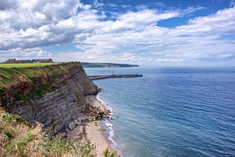 ModerateWhitby Wander12.7 km · 4.2 hr · At the trailheadClimb the 199 Steps, walk clifftops, loop home on the Cinder Track
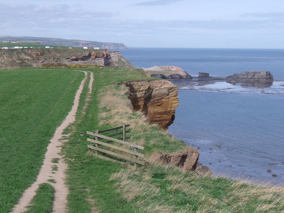 ModerateWhitby and Hawsker Circular12.7 km · 3.8 hr · At the trailheadCliff-top Cleveland Way out, easy Cinder Track home, past Whitby Abbey
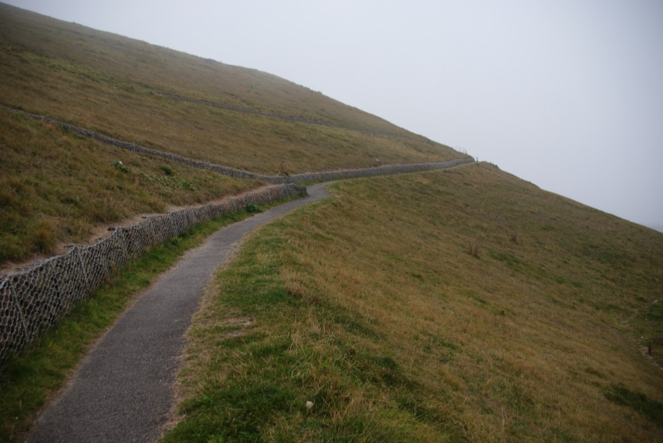 EasyMiles without Stiles (For all) - Whitby3.1 km · 1.1 hr · 0.6 km awayLevel clifftop path above Whitby Abbey, out and back with sea views
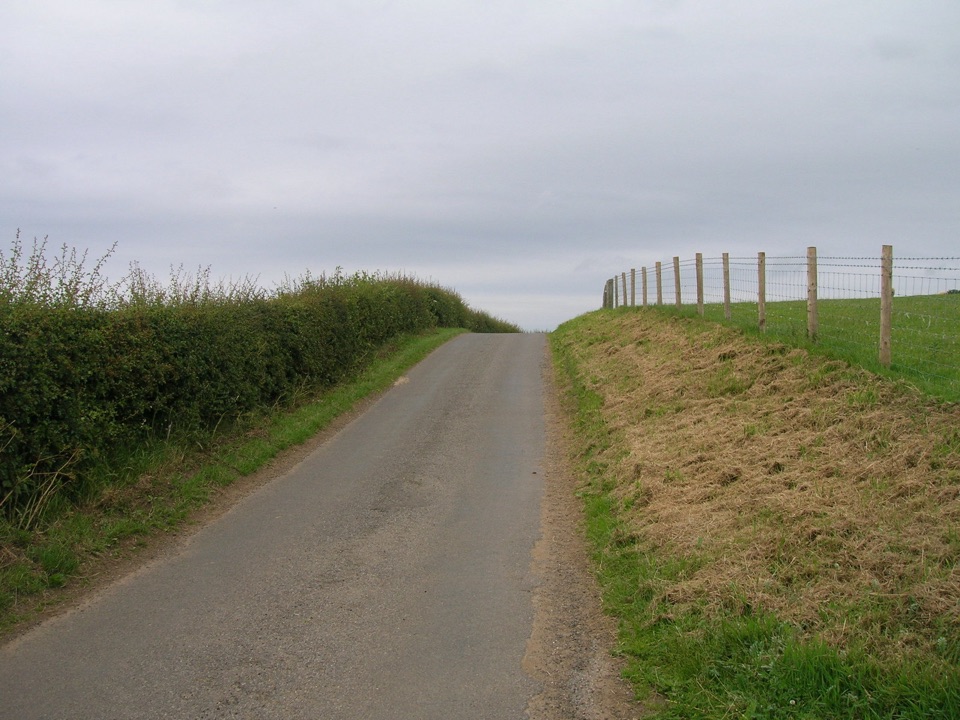 ModerateMulgrave Way14.5 km · 4 hr · 4.2 km awayNine miles one way from Sandsend's coast to Glaisdale's Esk Valley
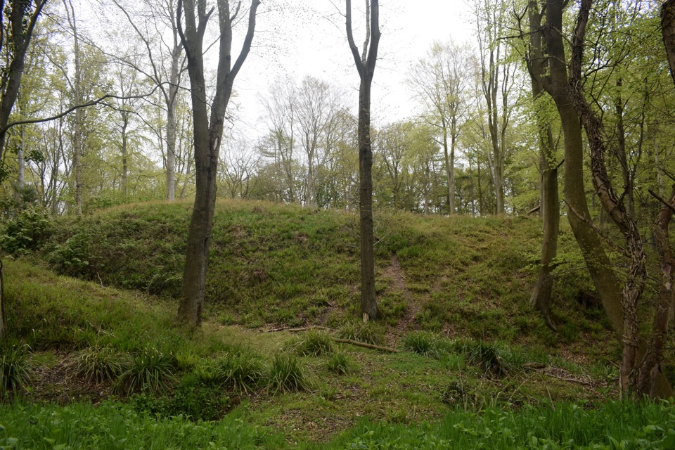 ModerateFoss Mill Crossing8 km · 2.8 hr · 7 km awayField paths and beck bridges to Foss Mill's ruins and Foss Castle
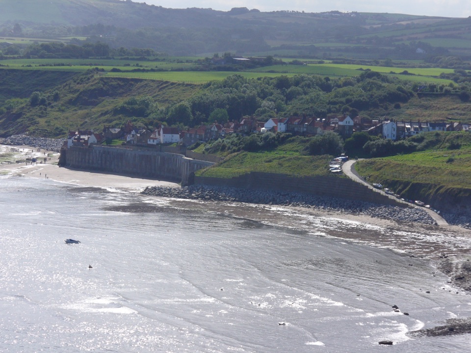 EasyRobin Hood's Bay Miles without Stiles Walk1.4 km · 45 min · 7.5 km awaySurfaced clifftop stroll to a sweeping view across the bay to Ravenscar
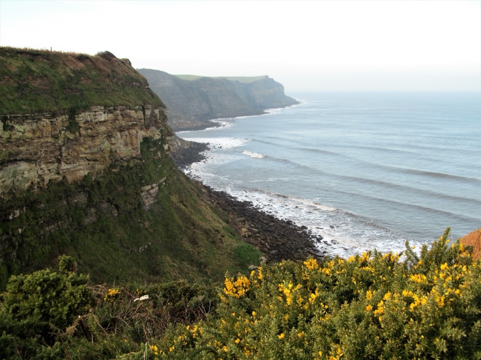 ModerateRobin Hood's Bay and Maw Wyke9.7 km · 4 hr · 7.6 km awayClifftop seabird views to a sheltered inlet, easy railway return
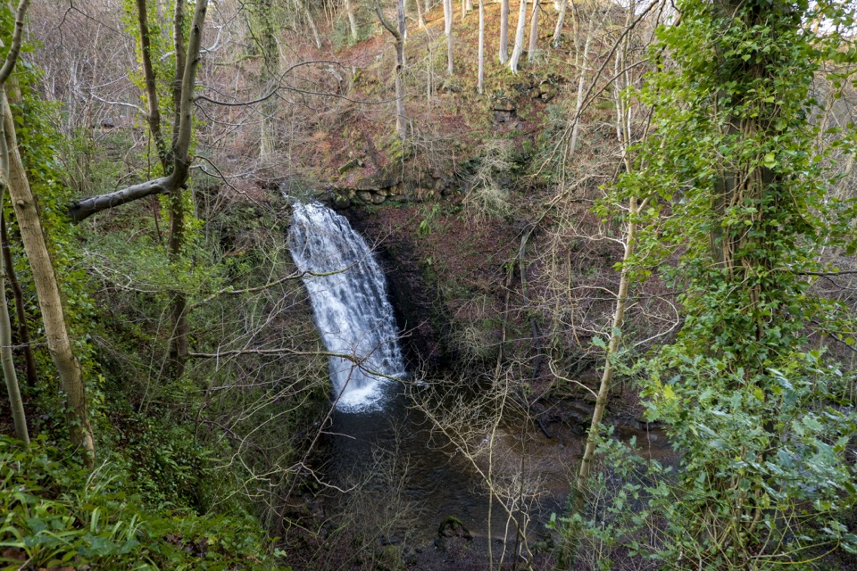 ModerateMay Beck and Falling Foss3.1 km · 1.5 hr · 8.6 km awayShady woodland loop to a waterfall, tea garden and beckside path
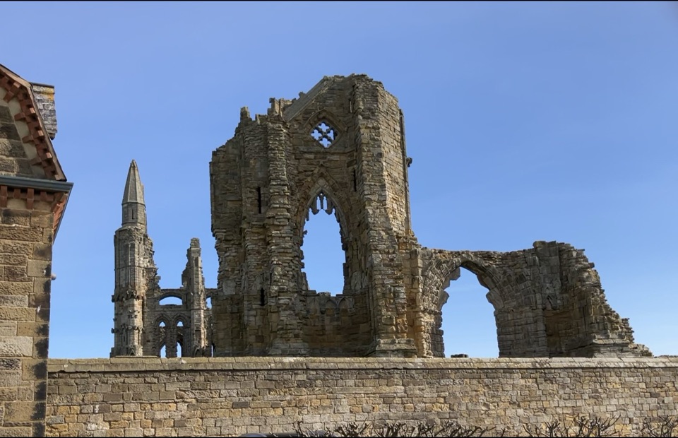 Sight · 0.4 km awayWhitby AbbeyGothic clifftop ruins above Whitby, from St Hild to Dracula
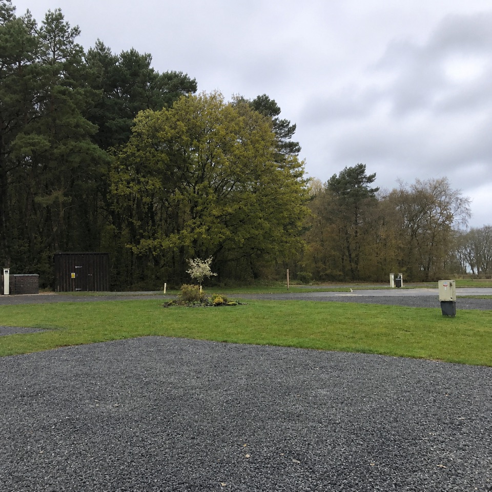 Campground · 7.1 km awayNorth Yorkshire Moors Club CampsiteQuiet wooded pitches with moorland views and walks from the gate
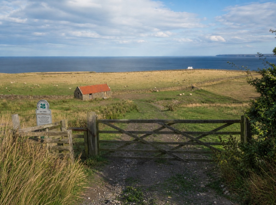 Campground · 7.2 km awayBay Ness Farm CampsiteSea-view farm pitches a short walk above Robin Hood's BaySight · 7.7 km awayFalling Foss WaterfallA 9-metre fall of water in a steep, wooded valley near Whitby
 Sight · 7.9 km awayRobin Hood's Bay and BeachCobbled smugglers' village tumbling to Jurassic rock scaurs and rockpools
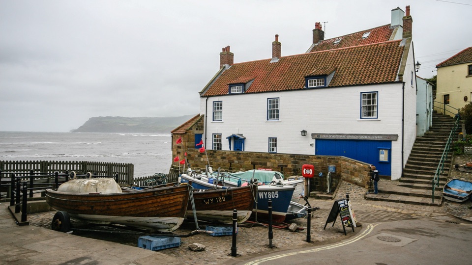 Sight · 8.2 km awayThe Old Coastguard StationSea-edge stone by the slipway, with rock scaurs at low tide
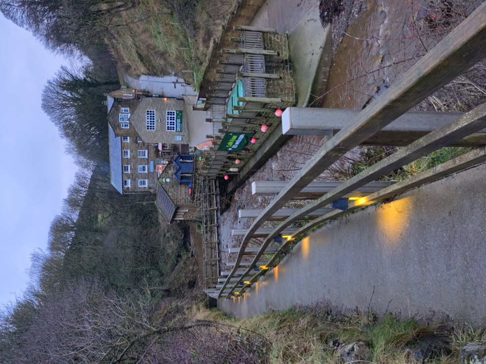 Beach · 8.9 km awayBoggle HoleTide-timed cove of ridged scaurs, rock pools and fossil-flecked shingle
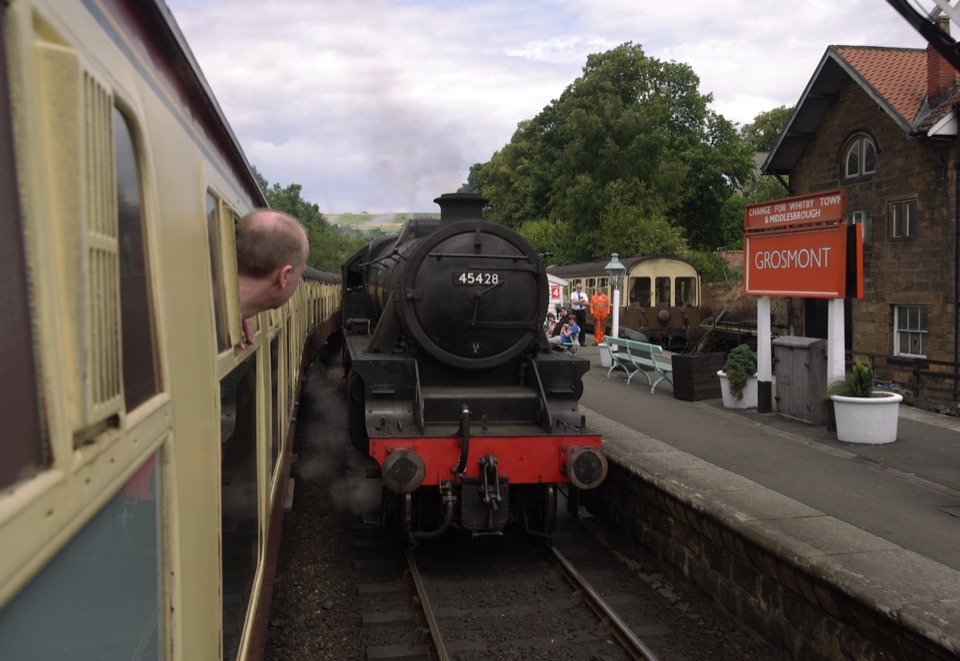 Sight · 9.2 km awayGrosmont StationEngine sheds, an 1835 tunnel and steam locomotives at work
Parkwolf’s North York Moors ranking

The audio tour guide for the drive, plus offline maps, trails, and wildlife heatmaps for when the signal drops.





