Parking
Use Wynoochee Pass Trailhead on the 400 spur off Forest Road 2270, north of Wynoochee Lake. High-clearance vehicle recommended. No fee, restroom or potable water.
Olympic National Park, WA
A rough forest climb to two small ponds at the pass.
Overview
Map & elevation
Plan your hike

The highest, rockiest slopes around here are a summer buffet for grizzly bears.
Olympic Tour Guide
Parkwolf is a GPS audio tour guide for Olympic National Park. As you drive, it chimes in with what’s ahead: hidden gems, upcoming stops, history, geology, and wildlife, right through your car’s speakers.
See the Olympic audio tourMore stories near here in the app
“Fantastic app with many points of information… It’s great to just turn on while you’re driving and it gives you an audio tour of the national Park. We love it!!!!”


Trail guide
Wynoochee Pass Trail is a 5.2-mile out-and-back from Wynoochee Pass Trailhead to two small ponds at the pass. The climb follows forested tread, crosses several streams and includes a short rock step that calls for handholds. Its payoff is reaching the drainage divide, not a wide-open panorama. Allow about four to five hours. This route turns around at the pass; Sundown Lake is a separate, much longer extension.
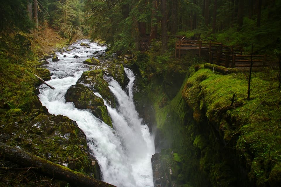
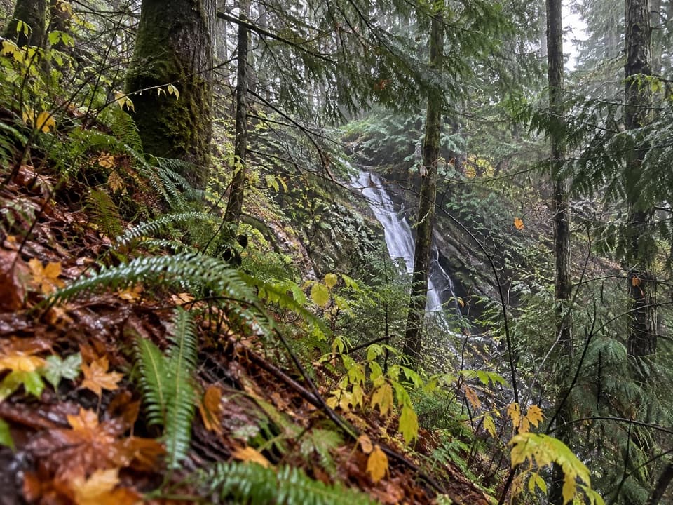
Most of the route rises beneath large trees. Steeper, rooty pitches alternate with flatter grassy sections, some of them wet. Small creek falls appear along the forest approach, but the walk is primarily a sustained climb through woods rather than a sequence of overlooks.
Several streams cross the trail. One crossing includes a roughly seven-foot rock wall with foot and toe holds. It is brief, but using your hands makes this a more involved hike than the mileage alone suggests.
Two shallow ponds mark the pass and the headwaters of Graves Creek. They make a modest turnaround point; broad mountain views are not the main attraction here. The route mapped for this entry returns by the same trail and does not include the descent toward Sundown Lake.
Reach the trailhead on the 400 spur of Forest Road 2270, north of Wynoochee Lake. The Forest Service recommends a high-clearance vehicle for the spur. There is no fee, restroom or potable water at the trailhead. Pets are prohibited on Olympic National Park trails unless a trail is specifically listed as pet-friendly, and Wynoochee Pass Trail is not on that list.
Wildlife
 710 sightingsOlympic MarmotMost seen around 11 AMSighting map
 30 sightingsHumpback WhaleMost seen around 6 PMSighting map
 42 sightingsGrey WhaleMost seen around noonSighting map
 23 sightingsMountain LionMost seen around 8 PMSighting map
 71 sightingsMountain GoatMost seen around 7 AMSighting map
 306 sightingsBald EagleMost seen around 11 AMSighting map
Sighting maps show where each species has been reported across Olympic. Wildlife moves, so no sighting is guaranteed.
Keep exploring
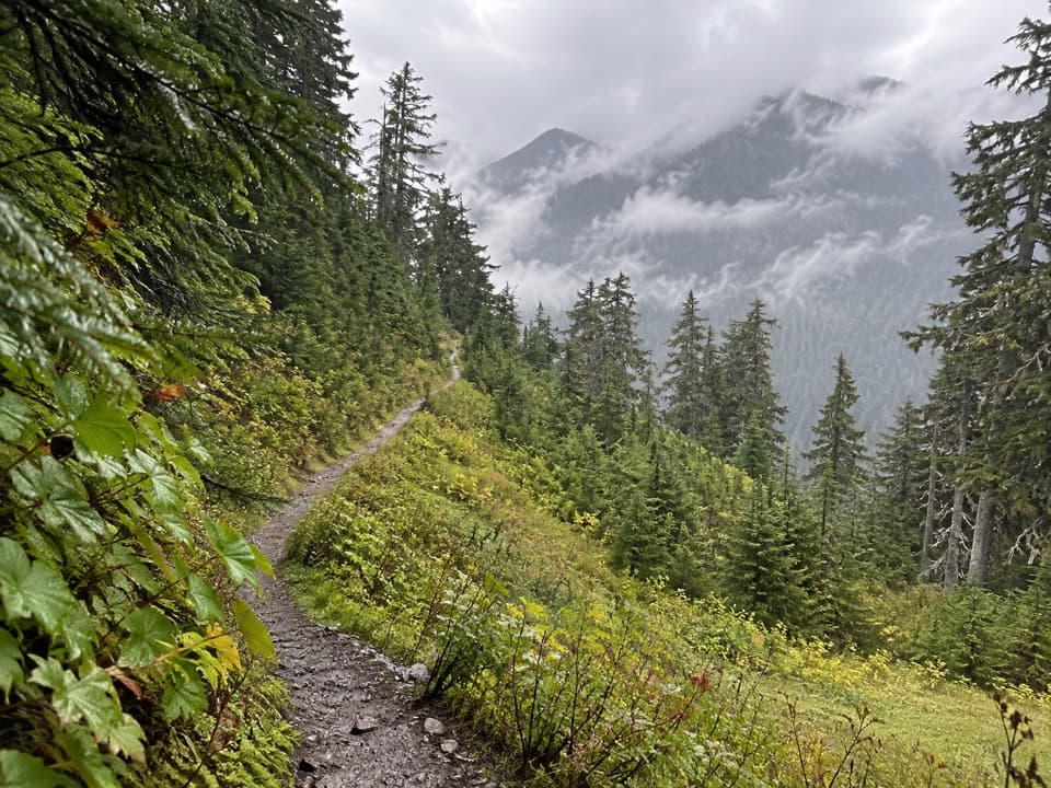 ChallengingSix Ridge Primitive Trail10.6 mi · 10 hr · 2.3 mi awayA rugged ridge crossing with quiet meadows and long climbs.
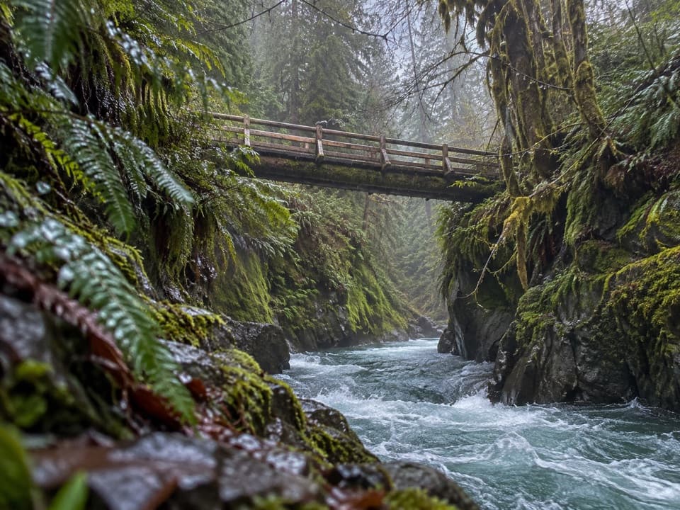 ModeratePony Bridge Trail5 mi · 3 hr · 4.3 mi awayA forested gorge with a steep approach and timber bridge.
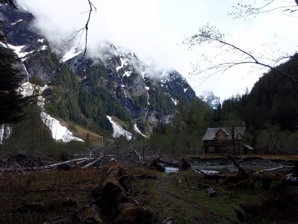 ChallengingEast Fork Quinault River Trail to Enchanted Valley26 mi · 16 hr · 4.3 mi awayA multi-day rainforest trek ends at a chalet beneath steep valley walls.
 EasyCascading Terraces Trail0.5 mi · 30 min · 4.4 mi awayA short rainforest walk to a Quinault River meadow.
 ChallengingGraves Creek Trail to Lake Sundown14.6 mi · 13.5 hr · 4.4 mi awayA rugged climb from Graves Creek forest to a remote alpine lake
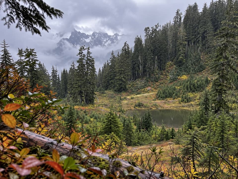 ChallengingUpper South Fork Skokomish River Trail15.2 mi · 10 hr · 4.9 mi awayOld-growth river valley, rough meadows, and a hard-won alpine lake.
 EasyIrely Lake Trail2.2 mi · 1.8 hr · 6.4 mi awayA mossy rainforest walk to a small lake with Mount Hoquiam views.
 ChallengingThree Lakes Trail via Big Creek13.8 mi · 9 hr · 6.4 mi awayA long forest climb to a mossy subalpine lake basin
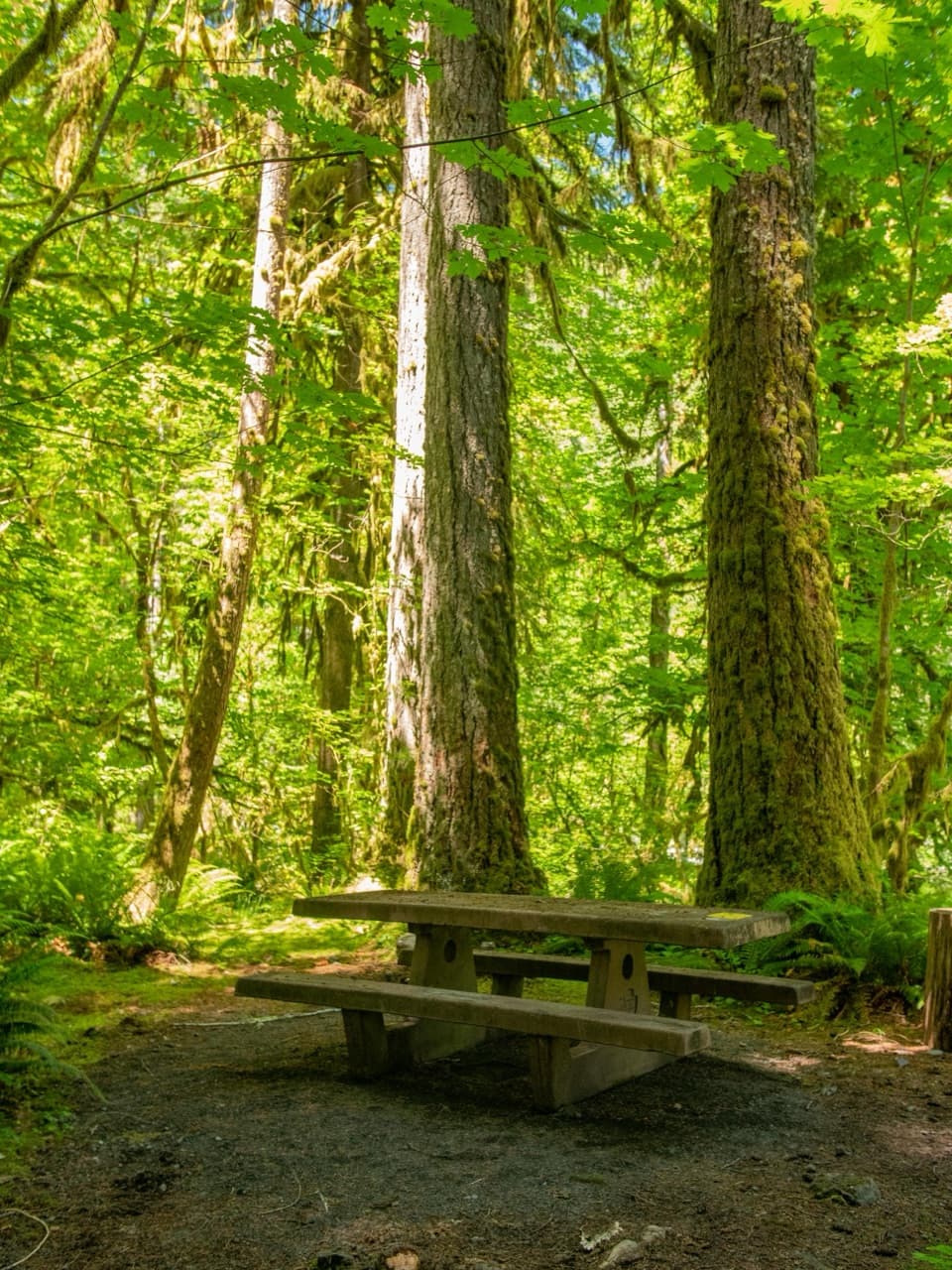 Campground · 4.5 mi awayGraves Creek CampgroundQuiet streamside camping, if you're up for a long gravel drive.
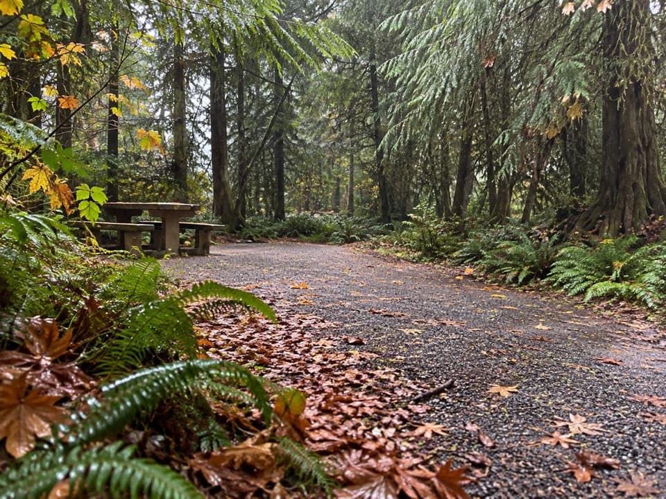 Campground · 6.3 mi awayNorth Fork CampgroundNine remote sites, with Quinault trails close by
 Sight · 7.1 mi awayBunch FallsTwo waterfall tiers spill through forest, visible from the bridge.
 Sight · 9.9 mi awayStaircase Big Cedar TreeA fallen 14-foot cedar, tucked just off an easy loop.
Parkwolf’s Olympic ranking

The audio tour guide for the drive, plus offline maps, trails, and wildlife heatmaps for when the signal drops.