Maiden Peak Trail in Olympic National Park

Olympic National Park, WA

Maiden Peak Trail

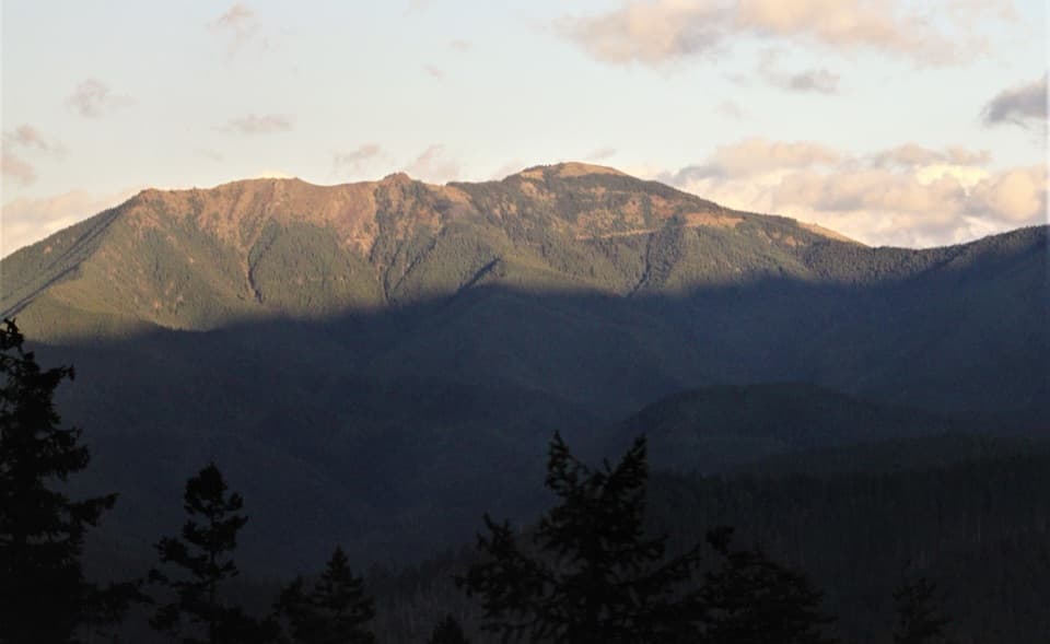
A steep climb trades forest shade for open slopes and rocky views.

Photo: Wikimedia Commons
Length
7.2mi
Time
5hr
Elev. change
1,535ft
Difficulty
Challenging
  • No dogs
  • High point 6,355 ft
  • #33 of 148 in Olympic

Hear the audio tour

Deer Park: Camping Above the Lowlands

Overview

About Maiden Peak Trail

Why go

  • Open meadow views arrive before the summit
  • A rugged high-country summit within a half-day hike

Heads up

  • The first half-mile descends before the main climb
  • The exposed summit approach uses faint boot paths

Map & elevation

The route

Loading the Olympic map
Full map
Elevation4,820–6,355 ft
TrailheadDeer Park Trailhead at Deer Park Campground47.94981, -123.26503
Keep this map with you offline in the Parkwolf app

Plan your hike

Before you go

Parking

Start at Deer Park Trailhead by Deer Park Campground. The last nine miles of Deer Park Road are narrow, steep gravel and unsuitable for RVs or trailers. The road closes seasonally from late fall until spring snowmelt; check access before driving up.

Safety

The route climbs steeply after an initial descent and crosses exposed high-country slopes. The summit boot path is informal, with faint route choices near the top. There is no potable campground water and hikers report none along the trail; carry enough for the full route.

6 active Olympic alerts

  • CautionUS 101 Hoh River Bridge reduced to one laneUS 101 at the Hoh River Bridge is restricted to one lane of alternating traffic; obey the signals and 25 mph speed limit.Official details
  • ClosureStaircase wilderness trails and campsites remain closedWilderness trails and campsites around Staircase remain closed during recovery from the Bear Gulch Fire; the developed Staircase area, including the Rapids Loop, campground, and ranger station, is…Official details
See all 6 alerts
A park ranger sits on a dash-mounted phone, talking, as Parkwolf’s Tour Guide plays “Army Cutworm Moths: A Grizzly Bear Buffet” on Grand Loop Road below Dunraven Pass in Yellowstone
Parkwolf Tour GuideThe highest, rockiest slopes around here are a summer buffet for grizzly bears.

Olympic Tour Guide

Your drive to Maiden Peak Trail, narrated.

Parkwolf is a GPS audio tour guide for Olympic National Park. As you drive, it chimes in with what’s ahead: hidden gems, upcoming stops, history, geology, and wildlife, right through your car’s speakers.

See the Olympic audio tour

Recorded for this trailhead

Deer Park: Camping Above the Lowlands
0:00 / 0:29
“Deer Park Campground is coming up, a small tent camp about fifty-four hundred feet above sea level. The mountain views and dark skies are the draw if you want to stay up in the high country.”

Plays as you drive up to this trailhead in the Parkwolf Olympic Tour Guide.

More stories near here in the app

  • Blue Mountain: The Rain Shadow Loop
  • How Ice Splits Rock
  • How a Sea Star Eats a Mussel
  • The Dots Beneath a Fern
  • 204 audio storiesacross Olympic’s roads, triggered by GPS as you drive
  • Wildlife heatmapsfor Olympic Marmot, Humpback Whale, Grey Whale, and 13 more
  • Works offlinemaps, 148 trails, 94 places, and audio download before you lose signal
  • CarPlay readysimple controls built for the drive
★★★★★
“Fantastic app with many points of information… It’s great to just turn on while you’re driving and it gives you an audio tour of the national Park. We love it!!!!”
JMJamesApp Store review
Download Parkwolf on the App StoreGet Parkwolf on Google Play

4.7 from 8,600+ ratings

Trail guide

Hiking Maiden Peak Trail

The route in briefMaiden Peak Trail is a 7.

Maiden Peak Trail is a 7.2-mile out-and-back from Deer Park Campground, following the trail toward Obstruction Point before turning up an informal boot path to the peak. The mapped one-way corridor is 3.49 miles; at about 3.5 miles each way, that fits a 7.2-mile return. Allow about five hours. The first half-mile drops downhill, so the long climb starts after you have already lost ground. Most of the way back begins uphill.

A climb through forest and meadowThe route starts under trees, then opens into exposed meadows.

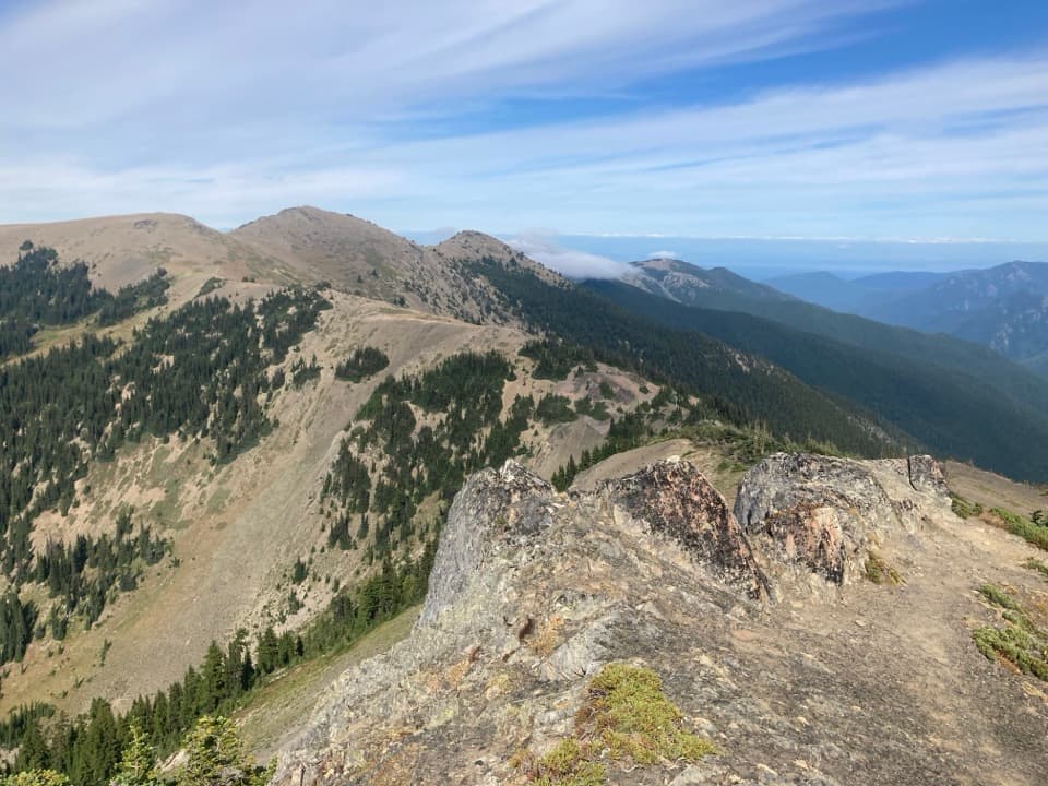
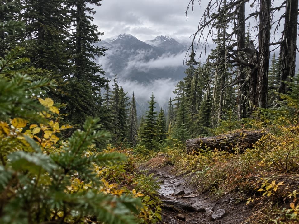
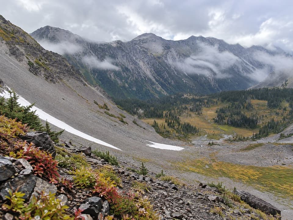
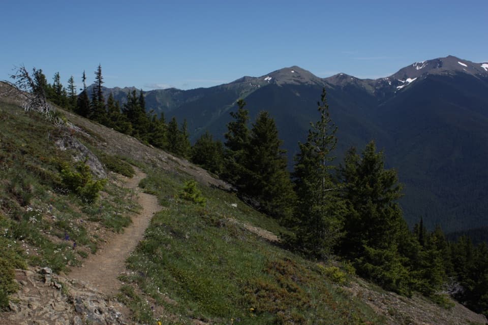
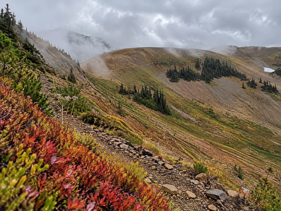
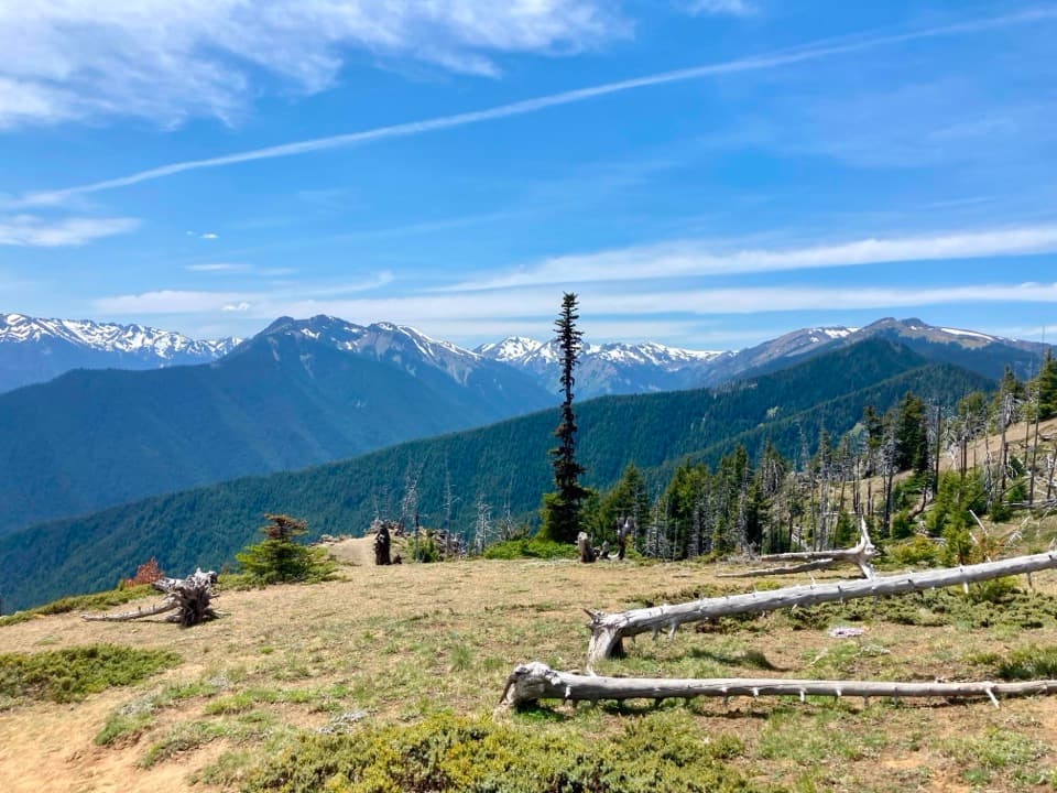
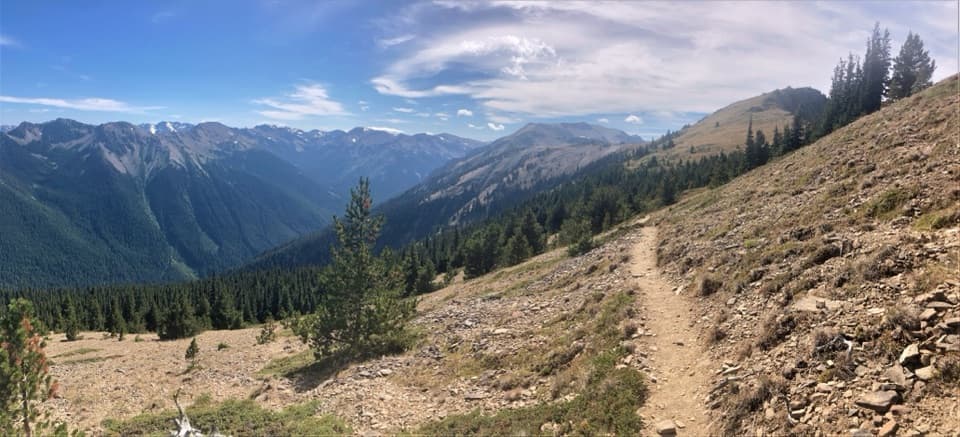
The route starts under trees, then opens into exposed meadows. The climb gets steep in places, and the open slope brings wind and sun after the shaded start. Views begin at the meadows and first subpeak, so you can turn back there if the final peak approach looks too rough. The summit is about 6,434 feet high; expect to work for it even though the mileage looks manageable.

The final approach and the viewThe peak is rocky, with views across the Olympic Mountains and north toward the Strait-side…

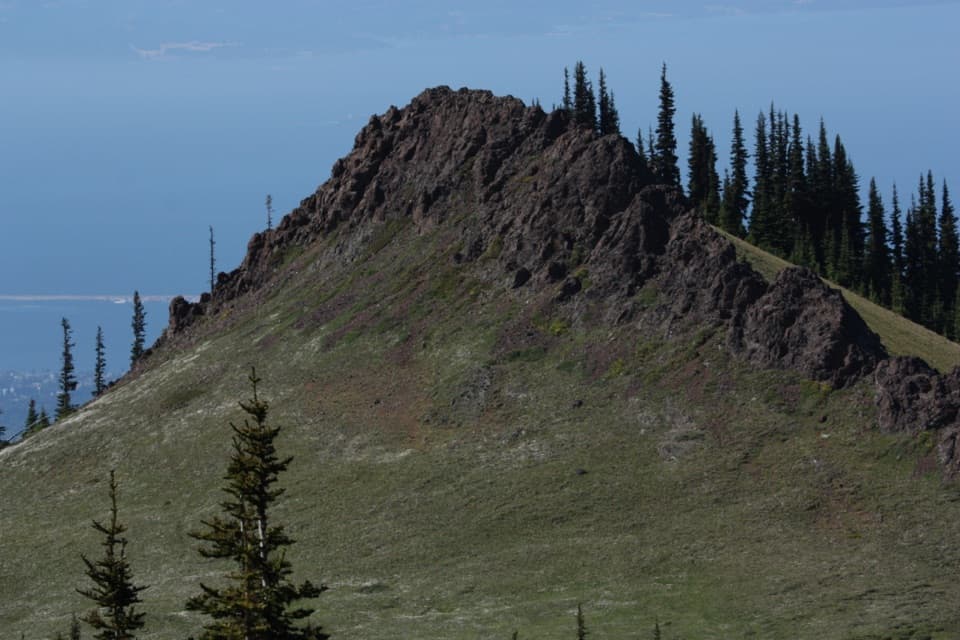
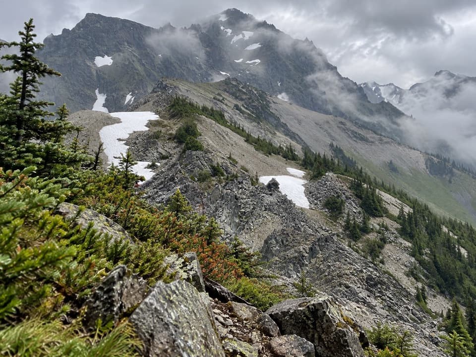
The peak is rocky, with views across the Olympic Mountains and north toward the Strait-side communities when the sky is clear. The last approach follows a ground boot path, not a developed summit walkway. More than one faint use path appears near the top, and some reports describe exposed footing. Keep to the clear mapped line, turn around if it becomes hard to follow, and do not treat an unmarked scramble as required. From the open slope, a photo with the trail crossing the hillside gives the view a sense of scale.

Access and trail rulesStart at Deer Park Trailhead by the campground.

Start at Deer Park Trailhead by the campground. Deer Park Road is narrow and steep; its final nine miles are gravel and unsuitable for RVs and trailers. The road closes seasonally from late fall until spring snowmelt, so check access before driving up. There is no potable water at the campground and hikers report none along the trail; carry enough for the full climb. Pets and bicycles are prohibited on Deer Park trails.

Wildlife

Wildlife in Olympic

All Olympic wildlife maps

Sighting maps show where each species has been reported across Olympic. Wildlife moves, so no sighting is guaranteed.

Keep exploring

Near Maiden Peak Trail

See it all on the map

Trails that start nearby

Places near the trailhead

Parkwolf’s Olympic ranking

Top-rated trails in Olympic

All 148 trails
  1. 1Hall of Mosses TrailEasy · 0.8 mi
  2. 2Hurricane Hill TrailModerate · 3.3 mi
  3. 3Sol Duc Falls Nature TrailEasy · 1.6 mi
  4. 4High Divide Loop (Seven Lakes Basin)Challenging · 19 mi
  5. 5Hoh River TrailChallenging · 34.8 mi
  6. 6Shi Shi Beach and Point of Arches TrailModerate · 8 mi

Take Parkwolf to Olympic.

The audio tour guide for the drive, plus offline maps, trails, and wildlife heatmaps for when the signal drops.

4.7 from 8,600+ ratings

Download Parkwolf on the App StoreGet Parkwolf on Google Play