Parking
At Blue Mountain Trail Head at the end of Deer Park Road, by the Deer Park campground area. From US 101 the approach is about 18 miles; the final nine miles are narrow, steep gravel.
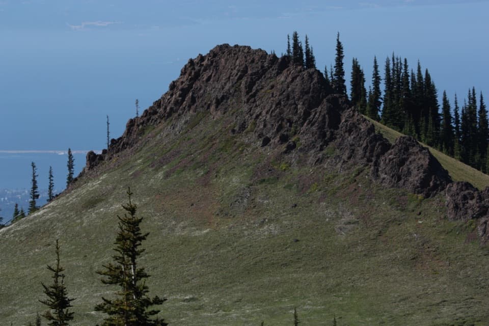
Olympic National Park, WA
A short summit climb for Blue Mountain’s wide-open views.
Overview
Map & elevation
Plan your hike

The highest, rockiest slopes around here are a summer buffet for grizzly bears.
Olympic Tour Guide
Parkwolf is a GPS audio tour guide for Olympic National Park. As you drive, it chimes in with what’s ahead: hidden gems, upcoming stops, history, geology, and wildlife, right through your car’s speakers.
See the Olympic audio tourRecorded for this trailhead
Blue Mountain: The Rain Shadow Loop“You're approaching the Rain Shadow Loop on Blue Mountain, a half-mile walk to a broad view over the Strait of Juan de Fuca and Dungeness Spit.”
Plays as you drive up to this trailhead in the Parkwolf Olympic Tour Guide.
More stories near here in the app
“Fantastic app with many points of information… It’s great to just turn on while you’re driving and it gives you an audio tour of the national Park. We love it!!!!”


Trail guide
Rain Shadow Loop is a half-mile circuit from the end of Deer Park Road to Blue Mountain’s open summit, with about 170 feet of climbing. The route starts uphill, then levels out near the top. Allow 30 to 45 minutes for the walk, plus time to look around; this is a quick viewpoint hike rather than a long outing.
The trailhead is at the end of Deer Park Road, about 18 miles from US 101. The last nine miles are narrow, steep gravel with turnouts, and the road is not suitable for RVs or trailers. It closes from late fall until snow melts in late spring, so check current road information before driving up.
The summit opens to broad views over the lowlands and surrounding mountains. On a clear day, look for the Cascades, Vancouver Island, the Strait of Juan de Fuca and Gray Wolf Ridge. The rocky summit ridge makes a strong foreground for a photo with the water and distant peaks behind it.
Pacific storms lose much of their moisture as they rise over the Olympic Mountains, leaving the eastern side drier. The park compares about 140 inches of annual precipitation in the Hoh Rain Forest with around 16 inches in Sequim, just north of Deer Park. The difference is the rain shadow this loop is named for.
During the last ice age, high Olympic peaks escaped extensive glaciation and became refuges for isolated plants and animals. Endemic Olympic bellflower grows on Blue Mountain’s summit; its bloom timing is not specified.
Pets and bicycles are not allowed on Deer Park trails. Nearby Deer Park Campground has picnic tables, fire rings and accessible pit toilets, but no potable water; those facilities are at the campground, not along the loop. No food service was found at the trailhead or on the route.
Wildlife
 710 sightingsOlympic MarmotMost seen around 11 AMSighting map
 30 sightingsHumpback WhaleMost seen around 6 PMSighting map
 42 sightingsGrey WhaleMost seen around noonSighting map
 23 sightingsMountain LionMost seen around 8 PMSighting map
 71 sightingsMountain GoatMost seen around 7 AMSighting map
 306 sightingsBald EagleMost seen around 11 AMSighting map
Sighting maps show where each species has been reported across Olympic. Wildlife moves, so no sighting is guaranteed.
Keep exploring
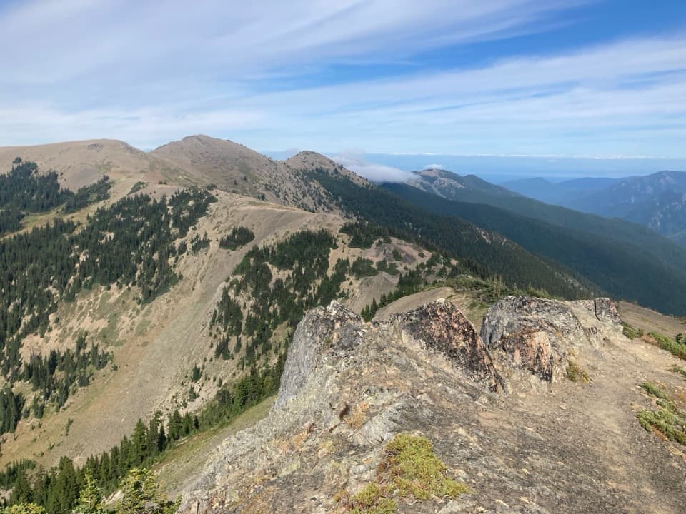 ModerateElk Mountain Trail11 mi · 7.5 hr · 0.5 mi awayEleven ridge miles lead to Elk Mountain and views over the Strait.
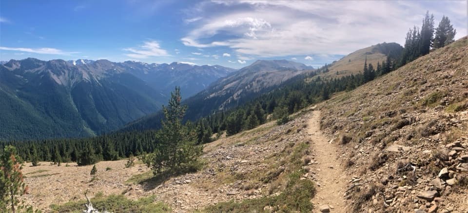 ChallengingMaiden Peak Trail7.2 mi · 5 hr · 0.5 mi awayA steep climb trades forest shade for open slopes and rocky views.
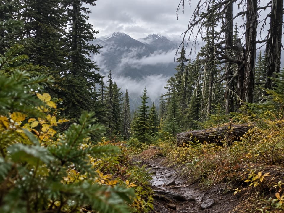 ChallengingThree Forks Trail8.5 mi · 7.5 hr · 0.5 mi awayA steep drop into the valley, then the whole climb back.
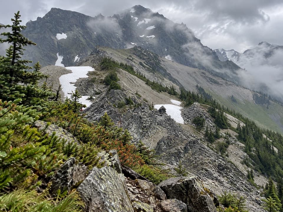 ChallengingUpper Graywolf River Trail9.1 mi · 8.5 hr · 3 mi awayA hard river-valley climb into the high country at Gray Wolf Pass.
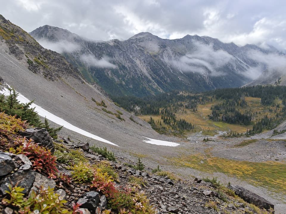 ChallengingCameron Creek Trail7 mi · 5.5 hr · 3 mi awayA creekside climb into brushy high-country meadows.
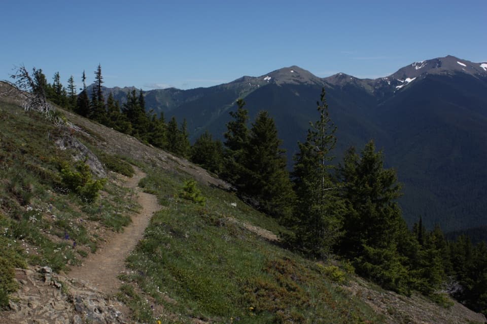 ChallengingDeer Ridge Trail4.8 mi · 5 hr · 3.2 mi awayRhododendrons give way to open ridges above the Gray Wolf valley.
 ModerateObstruction Point to Deer Park Trail7.4 mi · 4.5 hr · 6.2 mi awayA high ridge crossing opens views across the Strait and Olympic range.
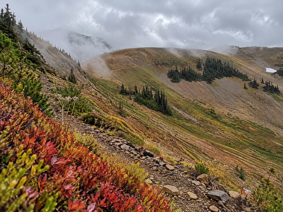 ChallengingBadger Valley Primitive Trail8.6 mi · 6.5 hr · 6.2 mi awayA steep descent into wildflower meadows, followed by a long climb back.
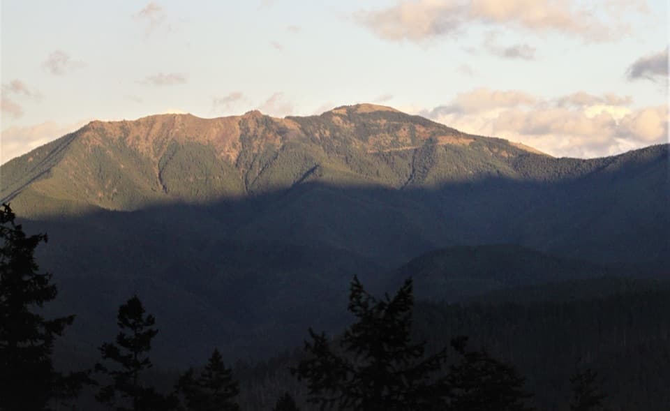 Sight · 0.1 mi awayBlue MountainA half-mile loop to broad Strait and Olympic Mountain views.
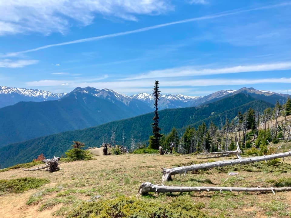 Campground · 0.6 mi awayDeer Park CampgroundA 5,400-foot camp with mountain views and a steep gravel approach.
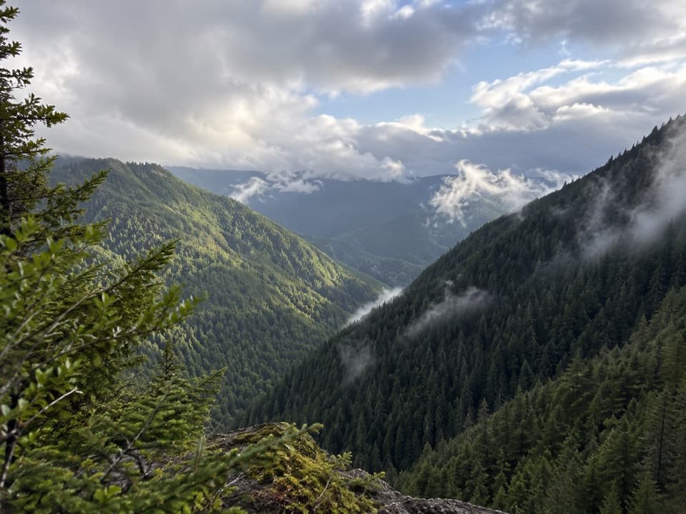 Sight · 6.4 mi awayWater Journey OverlookA quick mountain view on the way up Hurricane Ridge Road.
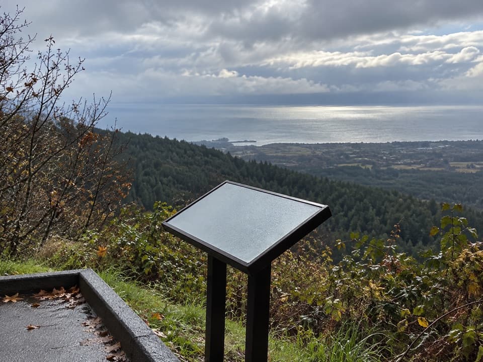 Sight · 6.4 mi awayNorth Peninsula OverlookA roadside pause for the Strait and a forested valley.
 Sight · 7 mi awayMorse Creek OverlookA quick roadside geology stop with an ice-age lake and pillow basalt.
 Campground · 9.6 mi awayHeart O' the Hills CampgroundA quiet forest base for Hurricane Ridge and a woodland walk.
 Entrance station · 9.7 mi awayHeart O' the Hills Entrance StationA quick fee stop before the road climbs toward Hurricane Ridge.
Parkwolf’s Olympic ranking

The audio tour guide for the drive, plus offline maps, trails, and wildlife heatmaps for when the signal drops.





