Parking
Start at Third Beach Trailhead parking at the end of La Push Road. This is a point-to-point route: arrange a ride or leave a vehicle at Oil City Trailhead, at the end of Oil City Road. Both trailheads have privies.
Olympic National Park, WA
A 17-mile tide-timed traverse past sea stacks, ladders and remote coves.
Overview
Map & elevation
Plan your hike

The highest, rockiest slopes around here are a summer buffet for grizzly bears.
Olympic Tour Guide
Parkwolf is a GPS audio tour guide for Olympic National Park. As you drive, it chimes in with what’s ahead: hidden gems, upcoming stops, history, geology, and wildlife, right through your car’s speakers.
See the Olympic audio tourRecorded for this trailhead
Third Beach: Forest, Stacks and a Waterfall“Up ahead is the Third Beach trailhead, for a forest walk to the sea stacks of Giants Graveyard.”
Plays as you drive up to this trailhead in the Parkwolf Olympic Tour Guide.
More stories near here in the app
“Fantastic app with many points of information… It’s great to just turn on while you’re driving and it gives you an audio tour of the national Park. We love it!!!!”


Trail guide
South Coast Route is a 17-mile, one-way wilderness traverse from Third Beach Trailhead to Oil City Trailhead, following Olympic’s outer coast through long beaches, rocky headlands and forest bypasses. It is a point-to-point backpack, not a loop; most parties take two or three days and camp along the shore. The park rates it moderate to difficult and lists about 1,900 feet of cumulative climbing. Even level beach sections can be slow: soft sand, gravel, drift logs, tides and creek fords all affect the pace. The mapped line follows connected coastal paths, but the beach corridor shifts with water level and is not a precise track to follow at every tide.
Carry a tide table and current topographic map, and plan each headland crossing before leaving camp. The passage south of Scott Creek is passable only at tides of 4 feet or lower; Diamond Rock near Jefferson Cove requires 2 feet or lower and can remain impassable across several tide cycles. Treat those as firm limits. Narrow beaches can disappear against bluffs, sending the route steeply inland on laddered or rope-assisted bypasses. Check park conditions and tides before setting out. This point-to-point trip also requires transport at both ends.
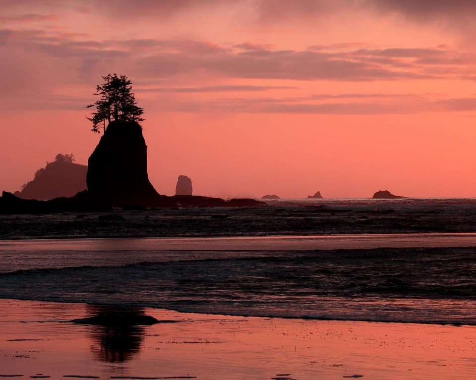
From the trailhead, a 1.4-mile forest approach descends about 200 feet to Third Beach. Look south toward the offshore sea stacks known as Giants Graveyard. Taylor Point forces a steep climb into coastal forest, then a descent back to the beach using ladders and ropes. Southward, the route alternates between sand and short headland bypasses before reaching Scott Creek, Strawberry Point and Toleak Point. A small cove near Taylor Point may be submerged at tides above 4.5 feet; the stretch south of Scott Creek has its separate 4-foot limit. Toleak is a major campsite and water stop, not the end of this route.
Beyond Toleak, beach walking gives way to a steep forest bypass around cliffs at Goodman Creek. This muddy overland section is about 1.5 miles. Falls and Goodman Creeks are fords rather than bridges; their depth varies, and high water can push saltwater up Falls Creek. The route returns to the coast for roughly 2.2 miles before the Mosquito Creek crossing. Leave extra time for wet footing and variable crossings instead of treating the segment distances as a pace guarantee.
From Mosquito Creek, the route turns inland for a roughly 3.5-mile forest bypass to Jefferson Cove, its longest overland stretch. The tread can be muddy and overgrown, and weathered stairs and a ladder descend steeply to the cove. Diamond Rock is the tightest tide restriction at 2 feet or lower. At the Hoh River, do not attempt a ford: follow the trail along the south bank for about 0.6 mile to Oil City Trailhead. The end of the beach is not the road access.
Sea stacks and offshore rocks define much of the walk, with seals and seabirds using the rocks and nearby water. Gray whales migrate along this coast in March and April and again in October; sightings are possible, never guaranteed. Low tides expose tide pools, but access depends on safe water and surf conditions. The long distances between camps make the quiet coves and changing shoreline part of the experience, not just scenery between destinations.
Overnight trips require an Olympic wilderness permit and a bear canister; groups are limited to 12, and pets are prohibited on park trails and beaches. Privies are available at the trailheads and at several camps, including south Third Beach, Toleak Point and the Mosquito Creek area. Jackson Creek near Toleak is the nearest reliable water noted for that section; treat natural water before drinking. Plan food and water for the full route because there are no services along the coast.
For a day walk, Third Beach is about 1.4 miles from parking. Return for a roughly 2.8-mile outing; this covers only the northern access, not the remote through-route.
Wildlife
 710 sightingsOlympic MarmotMost seen around 11 AMSighting map
 30 sightingsHumpback WhaleMost seen around 6 PMSighting map
 42 sightingsGrey WhaleMost seen around noonSighting map
 23 sightingsMountain LionMost seen around 8 PMSighting map
 71 sightingsMountain GoatMost seen around 7 AMSighting map
 306 sightingsBald EagleMost seen around 11 AMSighting map
Sighting maps show where each species has been reported across Olympic. Wildlife moves, so no sighting is guaranteed.
Keep exploring
EasyThird Beach Trail2.8 mi · 2 hr · At the trailheadA forest path drops to a driftwood beach and sea stacks.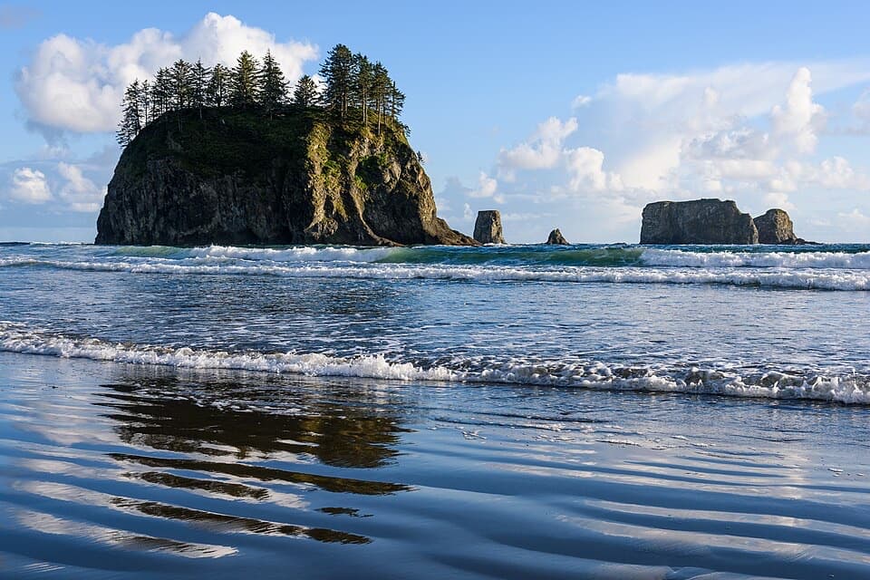 EasySecond Beach Trail1.4 mi · 1.5 hr · 1.3 mi awayA rooty forest trail drops to tide pools beneath sea stacks.
 EasyQuillayute River Slough Trail1.4 mi · 1 hr · 1.9 mi awayA mossy forest walk opens to a quiet river view
 EasyJames Pond Trail0.4 mi · 15 min · 1.9 mi awayA flat forest loop where the pond can be hard to spot
 ModerateRialto Beach to Hole-in-the-Wall Trail3.3 mi · 3 hr · 2.8 mi awayA low-tide walk to tidepools, sea stacks and a rock arch
 ChallengingAllens Bay Route2.2 mi · 3 hr · 12.3 mi awayA rough lake-to-coast route to a remote shipwreck memorial.
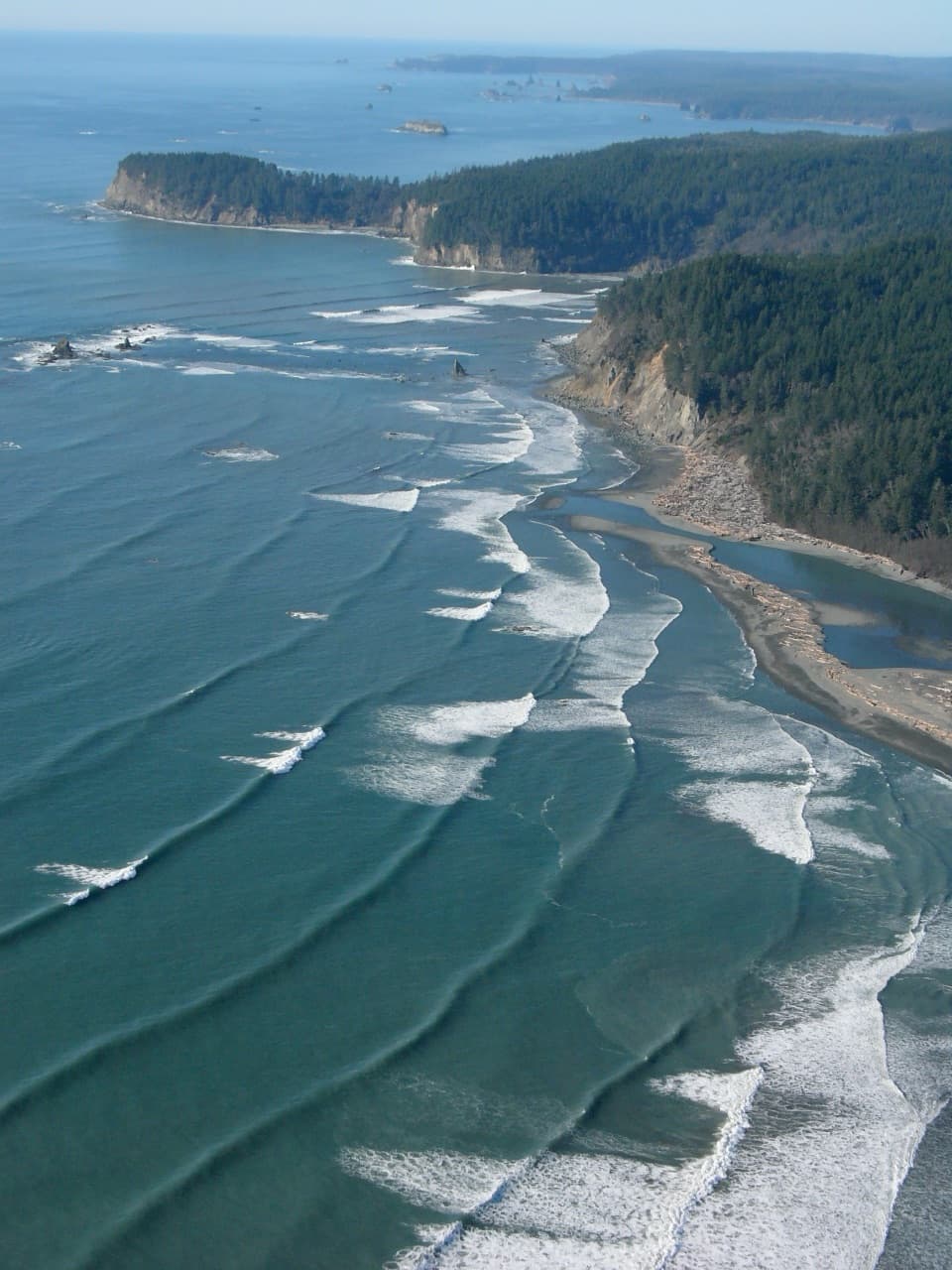 EasyOil City Trail1.2 mi · 1.5 hr · 12.9 mi awayA flat forest walk to the Hoh's driftwood-framed mouth.
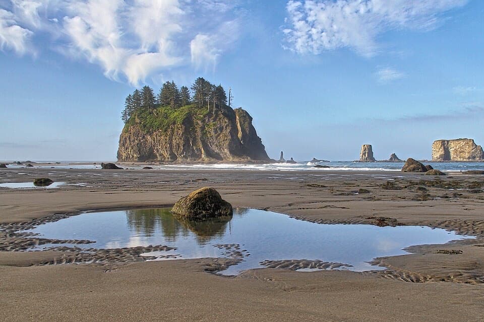 Beach · 1 mi awaySecond BeachSea stacks, tide pools, and a wind-whistling arch reward the stair climb.
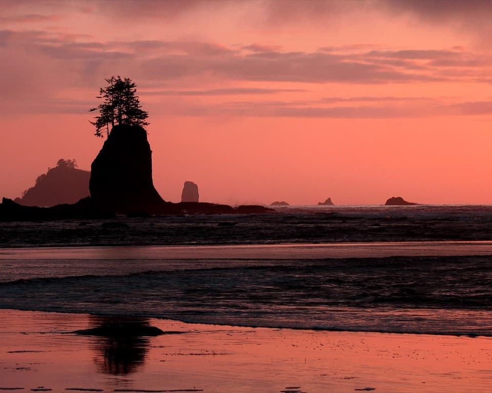 Beach · 1.1 mi awayThird BeachForest, driftwood and sea stacks reward the muddy walk in.
 Beach · 1.9 mi awayFirst Beach, La PushAn easy shore walk, with driftwood and sea stacks on Quileute land.
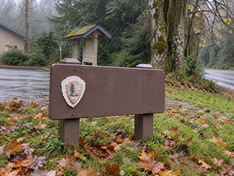 Ranger station · 1.9 mi awayMora Ranger StationA useful coastal stop for permits, water and local guidance.
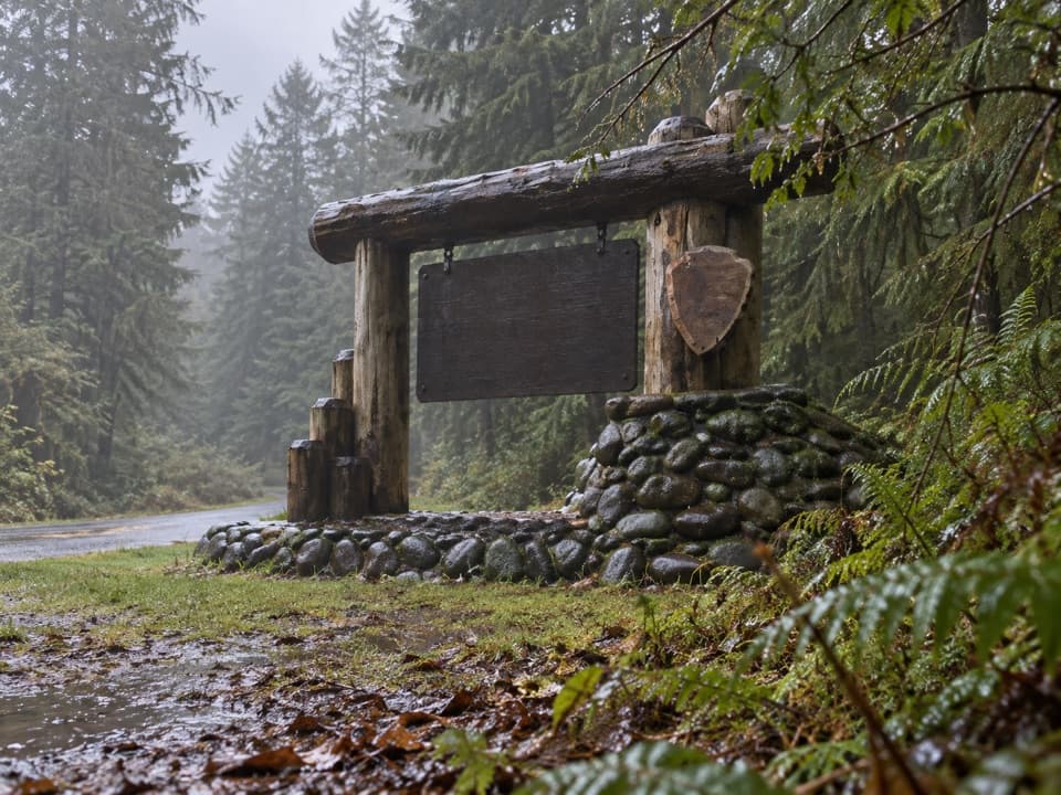 Sight · 1.9 mi awayMora Area Park Entrance SignA log-and-stone sign makes a memorable welcome photo at Mora.
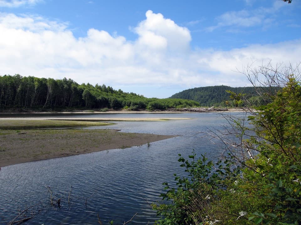 Campground · 1.9 mi awayMora CampgroundA wooded base camp two miles from Rialto Beach.
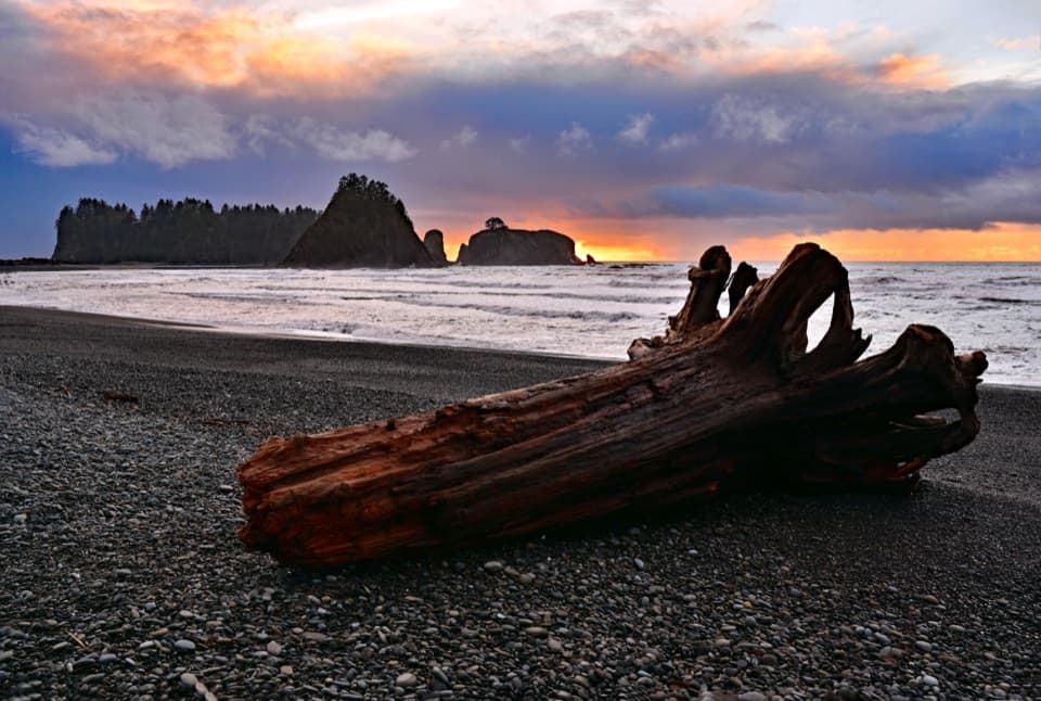 Beach · 2.8 mi awayRialto BeachSea stacks, surf and giant driftwood crowd this rugged shore.
 Sight · 4.3 mi awayHole-in-the-WallA sea arch and tide pools reached on the tide’s schedule.
Parkwolf’s Olympic ranking

The audio tour guide for the drive, plus offline maps, trails, and wildlife heatmaps for when the signal drops.





