Parking
Use the parking beside the Mora Campground entrance gate on Mora Road, by the ranger-station area. Campers can walk from their site back to the signed River Trail entrance.

Olympic National Park, WA
A mossy forest walk opens to a quiet river view
Overview
Map & elevation
Plan your hike

The highest, rockiest slopes around here are a summer buffet for grizzly bears.
Olympic Tour Guide
Parkwolf is a GPS audio tour guide for Olympic National Park. As you drive, it chimes in with what’s ahead: hidden gems, upcoming stops, history, geology, and wildlife, right through your car’s speakers.
See the Olympic audio tourRecorded for this trailhead
Mora: A Forest Base Near Rialto“Mora Ranger Station is coming up, a small forest office inland from Rialto Beach. Stop for drinking water or local trip advice if a ranger's on duty, but staffing is intermittent, so don't count on a staffed counter.”
Plays as you drive up to this trailhead in the Parkwolf Olympic Tour Guide.
More stories near here in the app
“Fantastic app with many points of information… It’s great to just turn on while you’re driving and it gives you an audio tour of the national Park. We love it!!!!”


Trail guide
This is an easy out-and-back from the signed River Trail near the Mora Campground gate to a view of the Quillayute River. The mapped corridor is about 0.7 mile each way, or 1.4 miles round-trip; allow about an hour with a pause at the river. Published figures vary from 0.9 mile to the river to 1.8 miles of trails, so treat the total as approximate. The campground has restrooms and water near the access; there are no facilities on the walk. Pets are not allowed on this trail.
Start at the River Trail sign by the Mora Campground entrance. The shaded path winds under spruce and hemlock through moss, ferns, and salmonberry. At the first T, about a quarter mile in, take the left branch. Near the half-mile mark, turn right downhill at the wooden post for the short spur to the river view. The other branch continues toward a second trailhead on Mora Road; that is a longer option. For the river walk, turn down to the water and retrace your route.
The reward is a broad, slow-moving brown channel edged with willows and alders. The short spur gives you a close view from above the bank rather than a beach or place to wade. If you want a shorter companion walk, James Pond is a separate 0.3-mile loop by the campground; it is not part of this route.
Wildlife
 710 sightingsOlympic MarmotMost seen around 11 AMSighting map
 30 sightingsHumpback WhaleMost seen around 6 PMSighting map
 42 sightingsGrey WhaleMost seen around noonSighting map
 23 sightingsMountain LionMost seen around 8 PMSighting map
 71 sightingsMountain GoatMost seen around 7 AMSighting map
 306 sightingsBald EagleMost seen around 11 AMSighting map
Sighting maps show where each species has been reported across Olympic. Wildlife moves, so no sighting is guaranteed.
Keep exploring
 EasyJames Pond Trail0.4 mi · 15 min · At the trailheadA flat forest loop where the pond can be hard to spot
 ModerateRialto Beach to Hole-in-the-Wall Trail3.3 mi · 3 hr · 1.7 mi awayA low-tide walk to tidepools, sea stacks and a rock arch
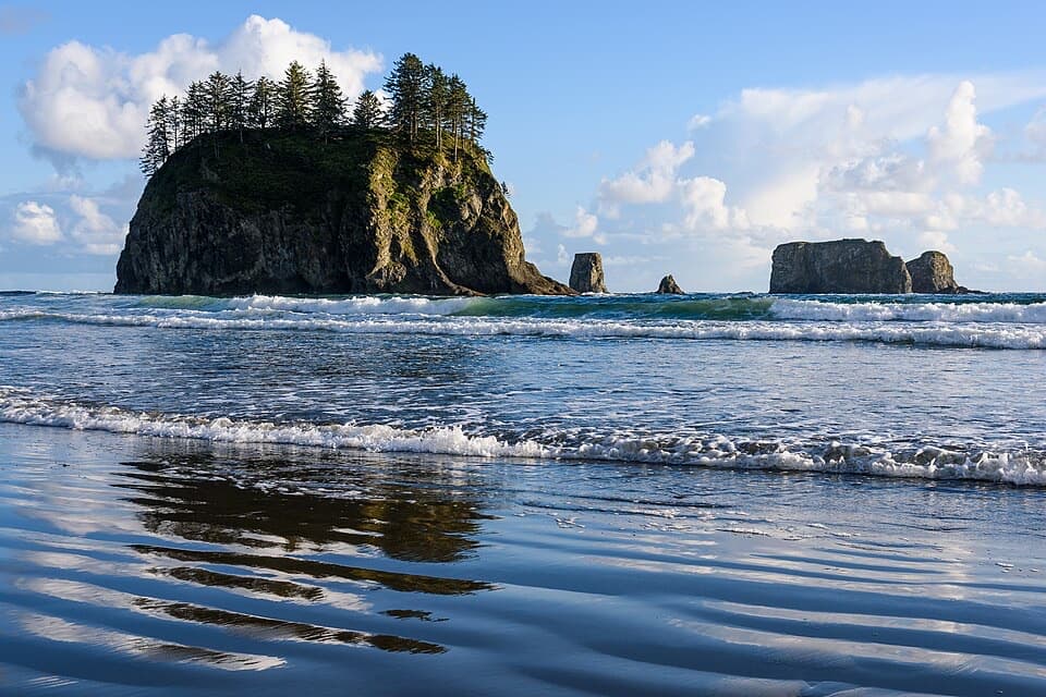 EasySecond Beach Trail1.4 mi · 1.5 hr · 1.7 mi awayA rooty forest trail drops to tide pools beneath sea stacks.
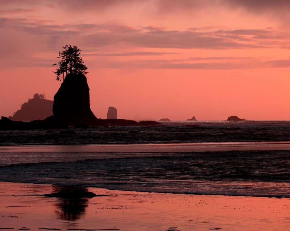 EasyThird Beach Trail2.8 mi · 2 hr · 1.9 mi awayA forest path drops to a driftwood beach and sea stacks.ChallengingSouth Coast Route17 mi · 16 hr · 1.9 mi awayA 17-mile tide-timed traverse past sea stacks, ladders and remote coves.
 ChallengingAllens Bay Route2.2 mi · 3 hr · 10.4 mi awayA rough lake-to-coast route to a remote shipwreck memorial.
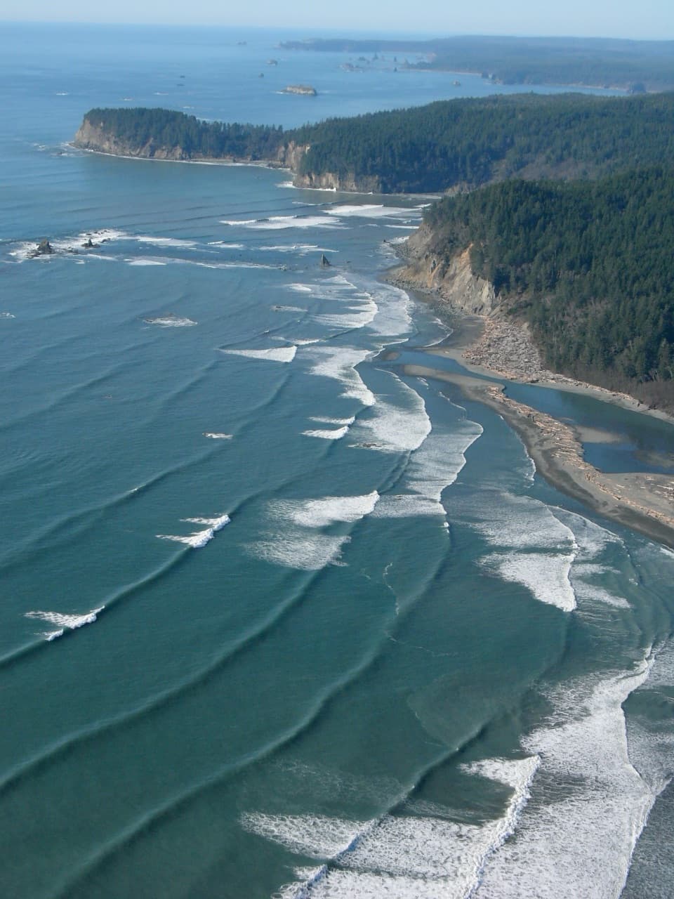 EasyOil City Trail1.2 mi · 1.5 hr · 14.5 mi awayA flat forest walk to the Hoh's driftwood-framed mouth.
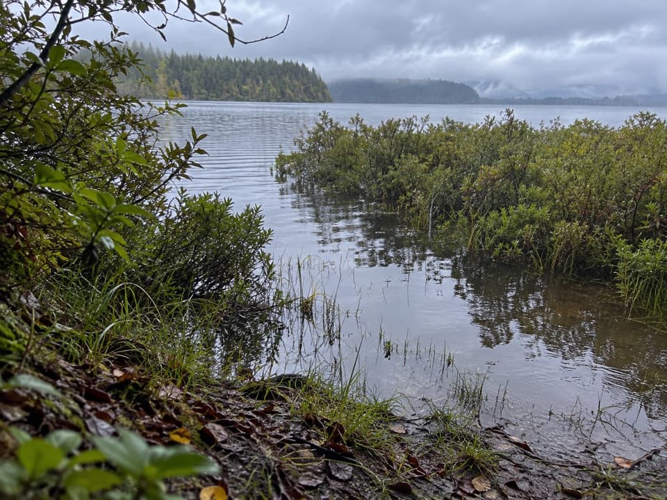 ModerateEricson's Bay Primitive Trail2 mi · 1.5 hr · 14.6 mi awayA remote, flat coast-to-lake walk on slick old boardwalk.
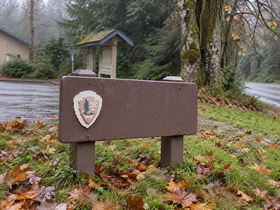 Ranger station · At the trailheadMora Ranger StationA useful coastal stop for permits, water and local guidance.
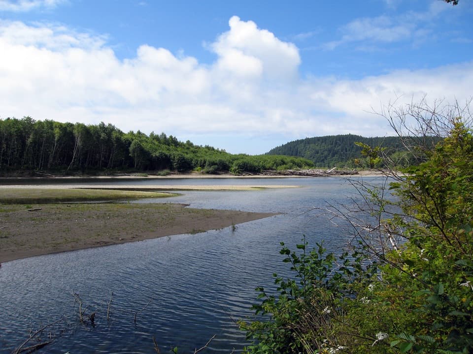 Campground · 0.2 mi awayMora CampgroundA wooded base camp two miles from Rialto Beach.
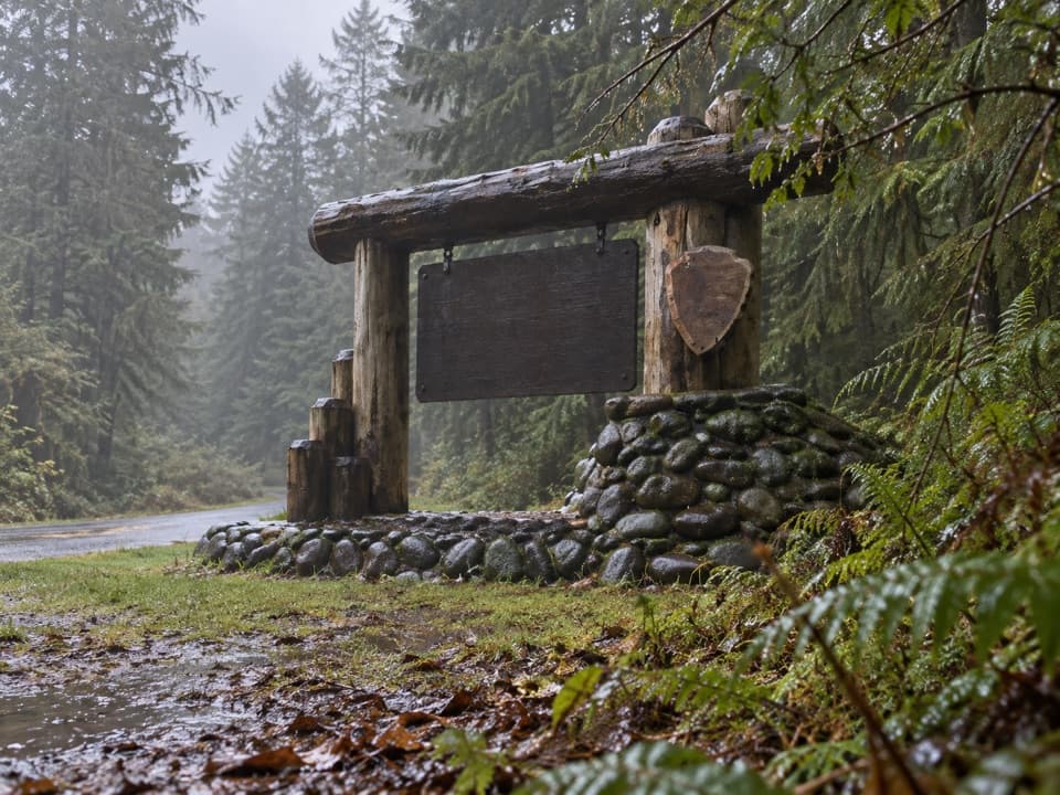 Sight · 0.5 mi awayMora Area Park Entrance SignA log-and-stone sign makes a memorable welcome photo at Mora.
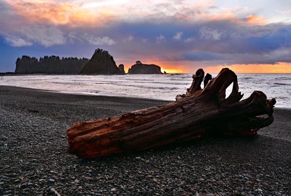 Beach · 1.7 mi awayRialto BeachSea stacks, surf and giant driftwood crowd this rugged shore.
 Beach · 1.9 mi awayFirst Beach, La PushAn easy shore walk, with driftwood and sea stacks on Quileute land.
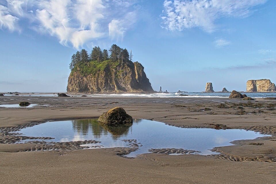 Beach · 2.5 mi awaySecond BeachSea stacks, tide pools, and a wind-whistling arch reward the stair climb.
 Sight · 2.8 mi awayHole-in-the-WallA sea arch and tide pools reached on the tide’s schedule.
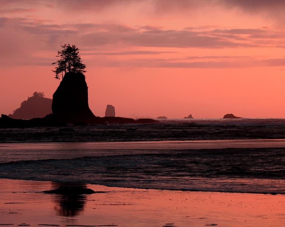 Beach · 2.9 mi awayThird BeachForest, driftwood and sea stacks reward the muddy walk in.
Parkwolf’s Olympic ranking

The audio tour guide for the drive, plus offline maps, trails, and wildlife heatmaps for when the signal drops.





