Parking
Use the Combers Beach Trail parking lot on the ocean side of Highway 4, about 3 km south of Green Point Campground. The large lot accommodates RVs and buses; two large outhouses are at the trailhead.
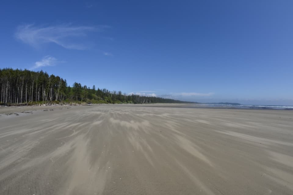
Pacific Rim National Park Reserve, BC
A short forest descent to a broad Pacific beach.
Overview
Map & elevation
Plan your hike

The highest, rockiest slopes around here are a summer buffet for grizzly bears.
Pacific Rim Tour Guide
Parkwolf is a GPS audio tour guide for Pacific Rim National Park Reserve. As you drive, it chimes in with what’s ahead: hidden gems, upcoming stops, history, geology, and wildlife, right through your car’s speakers.
See the Pacific Rim audio tourRecorded for this trailhead
Combers Beach“You're nearing the access to Combers Beach, where a short forest walk opens onto a broad sandy shore. Allow half an hour to an hour for a look around, with five hundred metres each way and a steep climb back to the lot.”
Plays as you drive up to this trailhead in the Parkwolf Pacific Rim Tour Guide.
More stories near here in the app
“Fantastic app with many points of information… It’s great to just turn on while you’re driving and it gives you an audio tour of the national Park. We love it!!!!”


Trail guide
Combers Beach Trail is a 500 m one-way route from the ocean-side Highway 4 parking lot to the Pacific shore; return the same way for 1 km total. It drops through cedar-hemlock forest and a spruce-fringe stretch before opening onto a wide sandy beach. It is a good short choice if you want a real coast payoff without committing to a long hike, though the steep gravel slope makes the climb back more work than the distance suggests. Allow about 30–60 minutes for the walk and a look around.
The upper gravel section is about 2 m wide and slopes more than 10%. Lower down, a roughly 1.2 m-wide boardwalk has several steps and 2.5 cm gaps. The route passes through cedar-hemlock forest, then spruce fringe; on the way back you retrace the same steep descent and climb.
At the boardwalk bottom, the forest opens onto the Pacific and an expansive sandy shore. This is the payoff: frame the trees at the trail exit against the open beach and surf. Shorebirds use the sand as a resting place, though a particular sighting is never guaranteed. Sandhill Creek reaches the beach on the left and shifts its course; it can run deep and strong, so do not assume a crossing is safe.
Start at the Combers Beach parking lot on Highway 4, about 3 km south of Green Point Campground. The large lot has room for RVs and buses, and two large outhouses are at the trailhead. The annual dog restriction runs April 1 through October 1; outside those dates, dogs must be leashed and under physical control. Beach access is not maintained in winter and early spring, when storms can leave steep banks or driftwood in the way; tides, currents and erosion also change access.
Wildlife
 11 sightingsOrcaMost seen around 10 AMSighting map
 16 sightingsHumpback WhaleMost seen around 5 PMSighting map
 174 sightingsBlack BearMost seen around 8 PMSighting map
 16 sightingsSea OtterMost seen around 6 PMSighting map
 134 sightingsSteller Sea LionMost seen around 6 PMSighting map
 18 sightingsCalifornia Sea LionMost seen around noonSighting map
Sighting maps show where each species has been reported across Pacific Rim. Wildlife moves, so no sighting is guaranteed.
Keep exploring
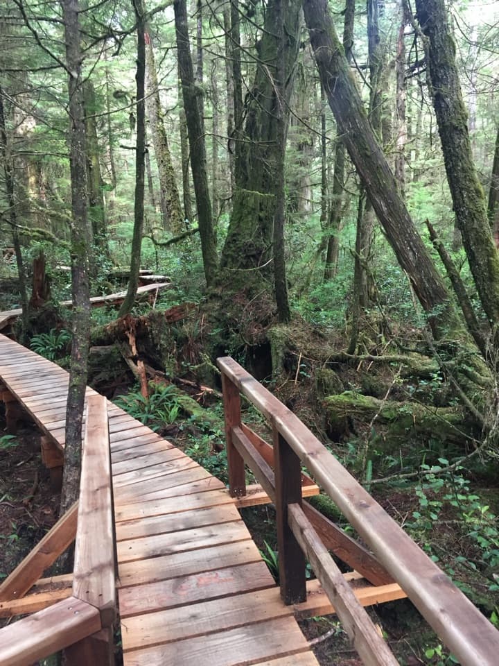 ModerateRainforest Trail A1 km · 30 min · 1.5 km awayBoardwalks thread giant cedars and stair-stepped ravines.
 ModerateRainforest Trail B1 km · 30 min · 1.5 km awayA short boardwalk loop with more stairs than its distance suggests.
 EasyGreen Point South Trail1 km · 30 min · 1.8 km awayA brief forest descent opens onto Combers Beach.
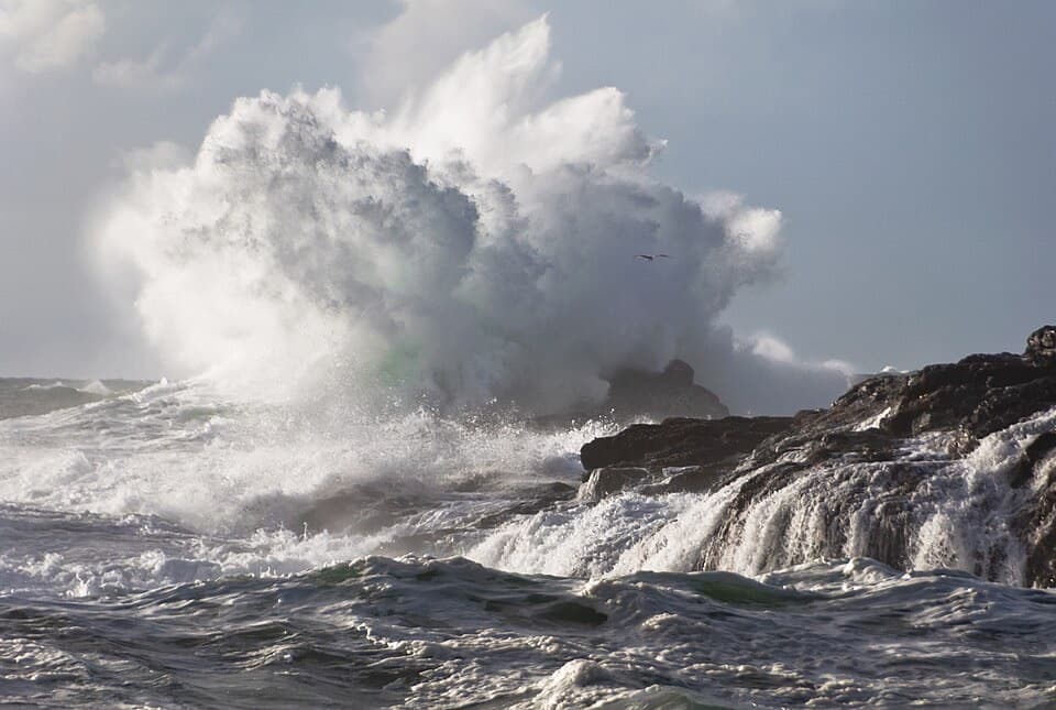 ModerateSouth Beach Trail1.6 km · 45 min · 4.1 km awayA short walk to hear waves wash over a pebble beach.
 EasyShorepine Bog Trail0.8 km · 15 min · 4.8 km awayA short boardwalk loop through stunted shore pines and open bog.
 EasyFlorencia Bay North Beach Access0.6 km · 30 min · 5.7 km awayA short trail drops to sand, surf, and a forested islet.
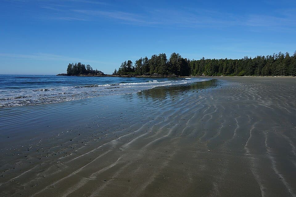 ModerateSchooner Cove Trail2 km · 1 hr · 6.9 km awayA rainforest stairway drops to the Pacific at Schooner Cove.
 ModerateCanso Bomber Ruins Trail5 km · 2.5 hr · 10.8 km awayA wartime bomber lies beyond a muddy coastal bog.
 Beach · 1 km awayCombers BeachA broad, quieter beach after a short, steep forest walk.
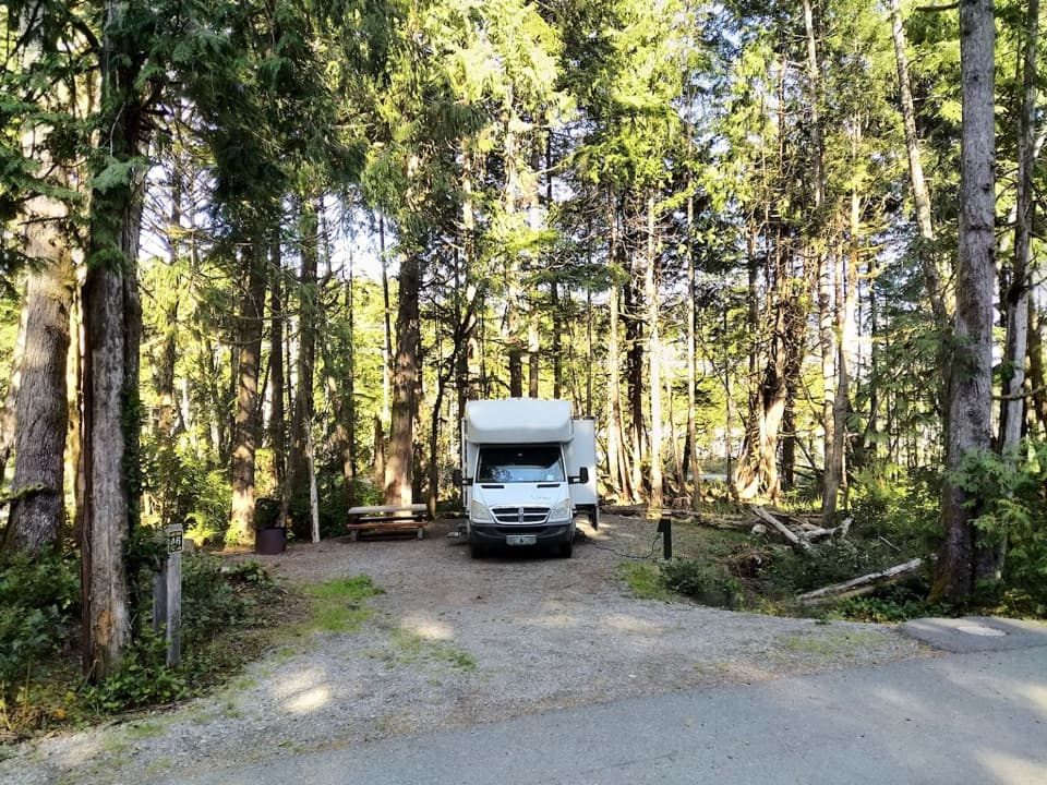 Campground · 2 km awayGreen Point CampgroundA forested campground with Long Beach just down the bluff.
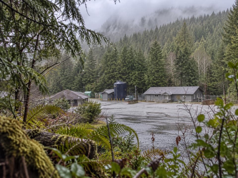 Sight · 2.3 km awayNational Park Reserve Administration OfficeA useful roadside errand for visitors who need park services.
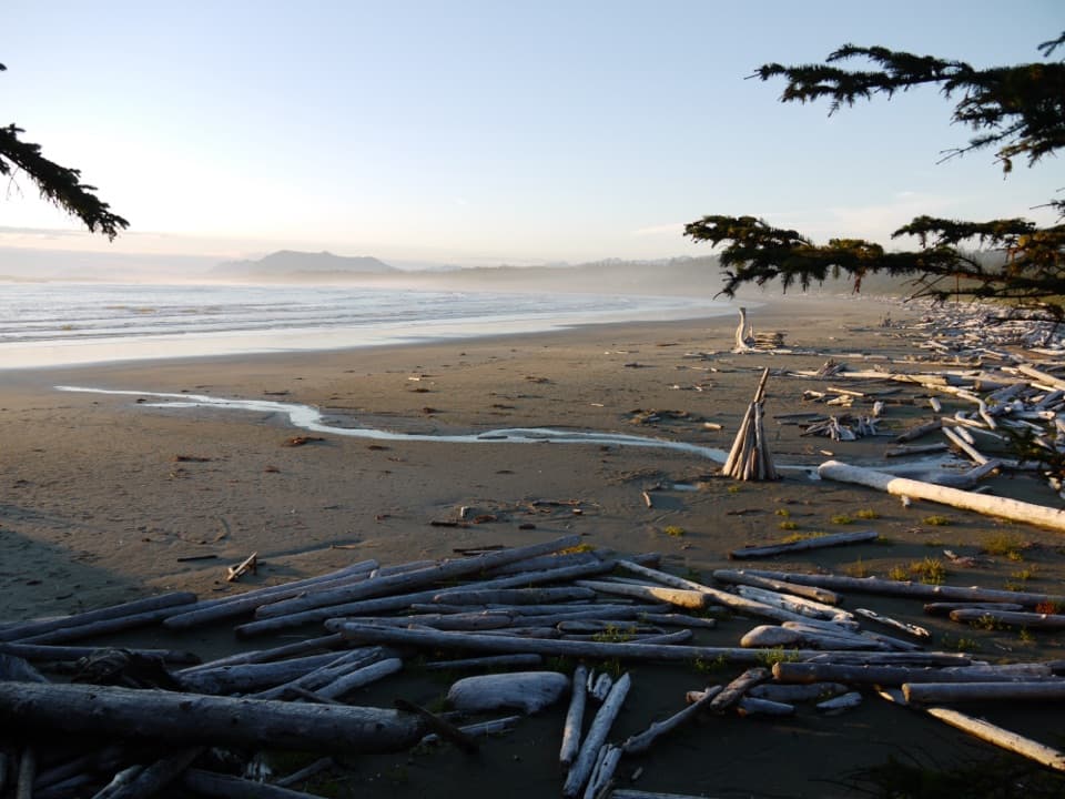 Beach · 2.6 km awayWickaninnish BeachDriftwood, wide sand and Pacific surf make this a proper beach stop.
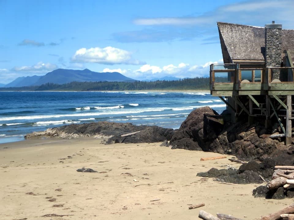 Visitor center · 4 km awayKwisitis Visitor CentreExhibits and a Pacific view above Wickaninnish Beach.Beach · 4.7 km awaySouth BeachA short, hilly walk ends where the waves put on a show.
 Beach · 4.9 km awayLong BeachA wide Pacific beach made for long, unrushed walks.
 Sight · 5.6 km awayIncinerator RockA tree-covered rock with Long Beach surf on both sides.
Parkwolf’s Pacific Rim ranking

The audio tour guide for the drive, plus offline maps, trails, and wildlife heatmaps for when the signal drops.

