Find the right facility
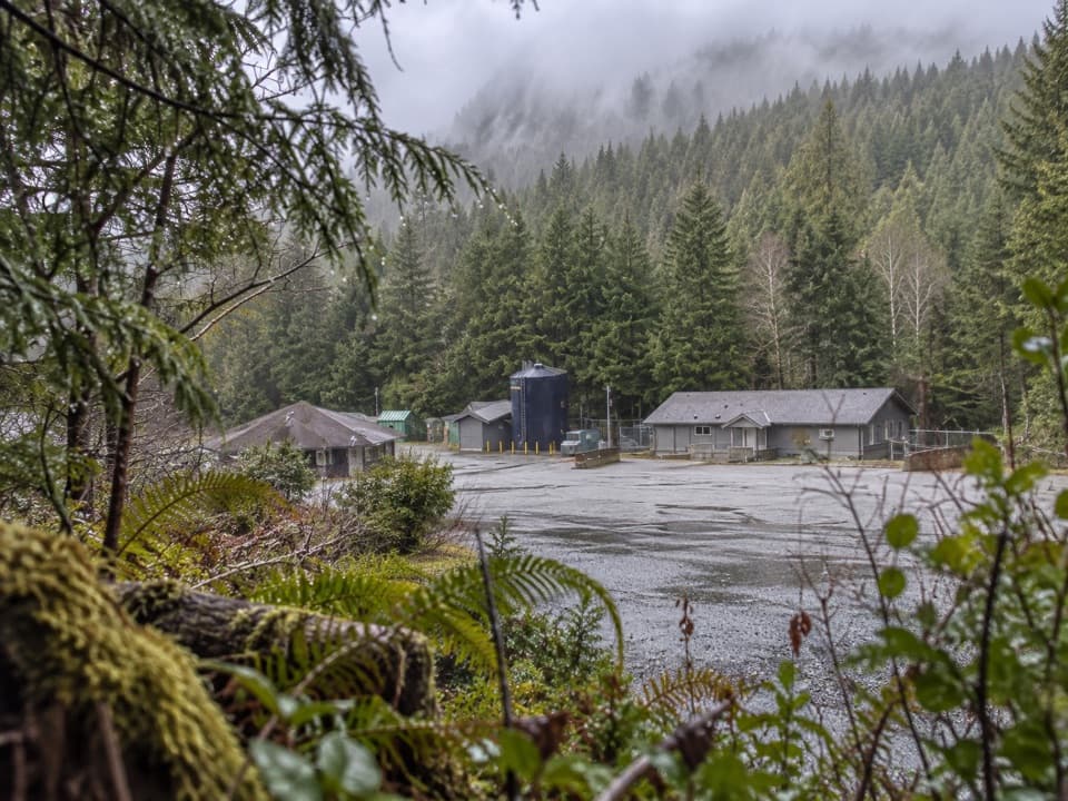
The administration office is a separate facility from Pacific Rim Visitor Centre and Kwisitis Visitor Centre. Use the 2040 Pacific Rim Highway address when navigating to this office.
Sight · Pacific Rim National Park Reserve
A useful roadside errand for visitors who need park services.
Overview
Map
Plan your stop

The highest, rockiest slopes around here are a summer buffet for grizzly bears.
Pacific Rim Tour Guide
Parkwolf is a GPS audio tour guide for Pacific Rim National Park Reserve. As you drive, it chimes in with what’s ahead: hidden gems, upcoming stops, history, geology, and wildlife, right through your car’s speakers.
See the Pacific Rim audio tourRecorded for this place
National Park Reserve Administration Office“Coming up is the National Park Reserve Administration Office. Stop here for an annual pass or official park souvenirs, including mugs, postcards and playing cards.”
Plays as you drive up to National Park Reserve Administration Office in the Parkwolf Pacific Rim Tour Guide.
More stories near here in the app
“Fantastic app with many points of information… It’s great to just turn on while you’re driving and it gives you an audio tour of the national Park. We love it!!!!”


Guide
This is the administration office for Pacific Rim National Park Reserve at 2040 Pacific Rim Highway, between Ucluelet and Tofino. Stop if you need to handle park business or pick up official merchandise; otherwise, keep going to one of the reserve's beaches or viewpoints.
You can buy an annual pass here. The shop carries official merchandise such as T-shirts, hats, mugs, playing cards and postcards. In the Long Beach Unit, a valid park entry pass must be displayed in your vehicle when you stop.
Wildlife
 11 sightingsOrcaMost seen around 10 AMSighting map
 16 sightingsHumpback WhaleMost seen around 5 PMSighting map
 174 sightingsBlack BearMost seen around 8 PMSighting map
 16 sightingsSea OtterMost seen around 6 PMSighting map
 134 sightingsSteller Sea LionMost seen around 6 PMSighting map
 18 sightingsCalifornia Sea LionMost seen around noonSighting map
Sighting maps show where each species has been reported across Pacific Rim. Wildlife moves, so no sighting is guaranteed.
Keep exploring
 EasyGreen Point South Trail1 km · 30 min · 0.7 km awayA brief forest descent opens onto Combers Beach.
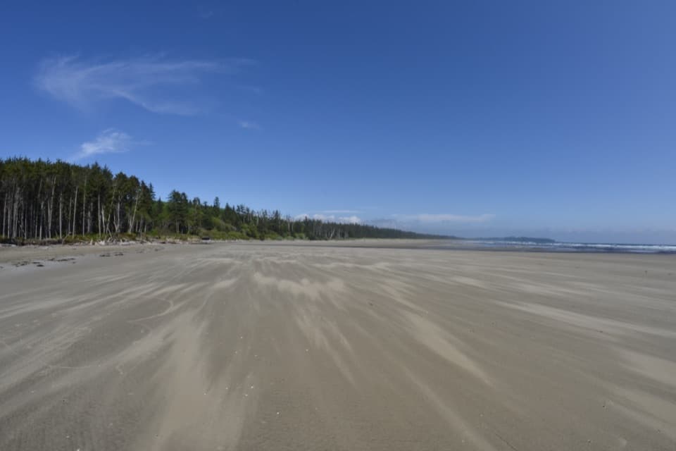 ModerateCombers Beach Trail1 km · 45 min · 2.3 km awayA short forest descent to a broad Pacific beach.
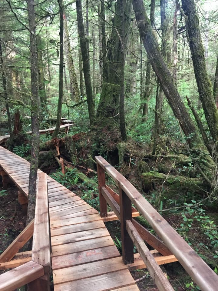 ModerateRainforest Trail A1 km · 30 min · 3.6 km awayBoardwalks thread giant cedars and stair-stepped ravines.
 ModerateRainforest Trail B1 km · 30 min · 3.7 km awayA short boardwalk loop with more stairs than its distance suggests.
 ModerateSchooner Cove Trail2 km · 1 hr · 4.8 km awayA rainforest stairway drops to the Pacific at Schooner Cove.
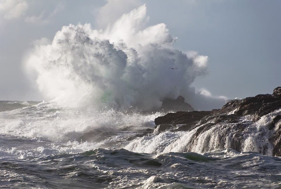 ModerateSouth Beach Trail1.6 km · 45 min · 6.3 km awayA short walk to hear waves wash over a pebble beach.
 EasyShorepine Bog Trail0.8 km · 15 min · 7.2 km awayA short boardwalk loop through stunted shore pines and open bog.
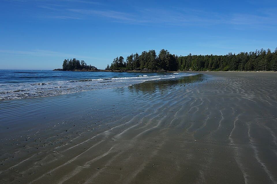
 EasyFlorencia Bay North Beach Access0.6 km · 30 min · 8 km awayA short trail drops to sand, surf, and a forested islet.
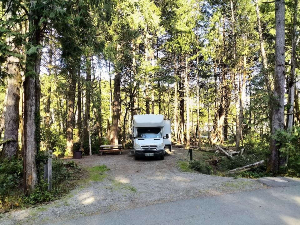 Campground · 0.4 km awayGreen Point CampgroundA forested campground with Long Beach just down the bluff.
 Beach · 1.5 km awayCombers BeachA broad, quieter beach after a short, steep forest walk.
 Beach · 2.8 km awayLong BeachA wide Pacific beach made for long, unrushed walks.
 Sight · 3.4 km awayIncinerator RockA tree-covered rock with Long Beach surf on both sides.
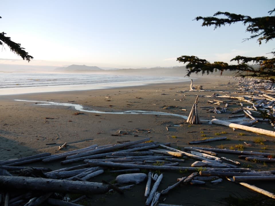 Beach · 4.9 km awayWickaninnish BeachDriftwood, wide sand and Pacific surf make this a proper beach stop.
 Beach · 5.8 km awaySchooner Cove BeachForest gives way to a sandy cove with a tree-covered rock offshore.
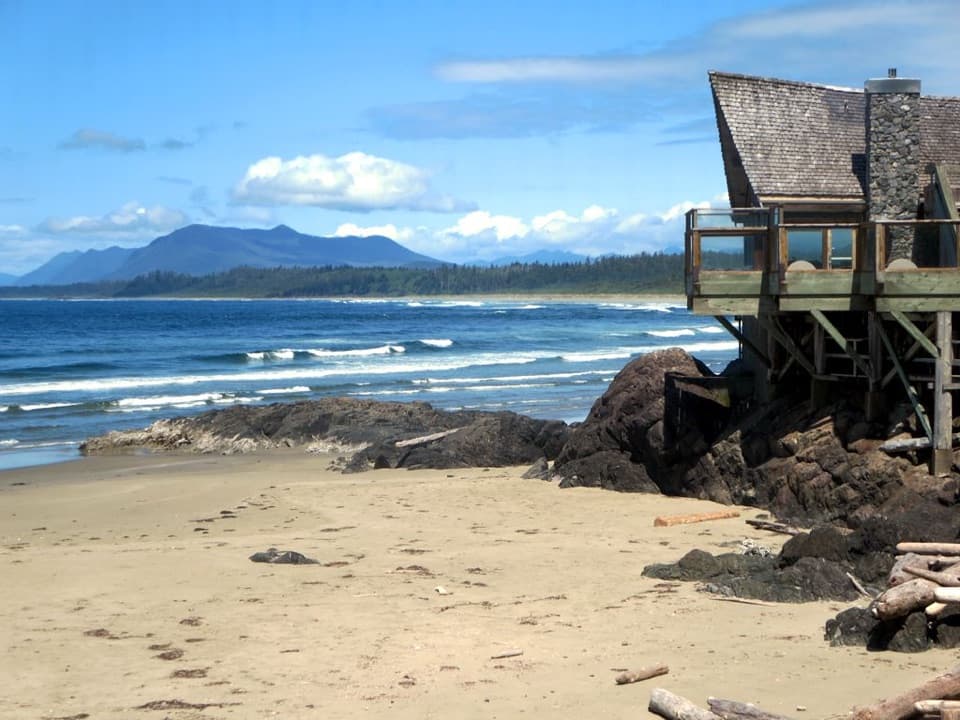 Visitor center · 6.3 km awayKwisitis Visitor CentreExhibits and a Pacific view above Wickaninnish Beach.Beach · 6.9 km awaySouth BeachA short, hilly walk ends where the waves put on a show.
Parkwolf’s Pacific Rim ranking

The audio tour guide for the drive, plus offline maps, trails, and wildlife heatmaps for when the signal drops.