Thorpe Cloud in Peak District National Park

Sight · Peak District National Park

Thorpe Cloud

A short, steep limestone climb to huge views over Dovedale

Photo: Wikimedia Commons
Type
Sight
Nearest trail
0.5 km
Audio stories
9 nearby
  • Scenic viewpoint
  • Parking

Hear the audio tour

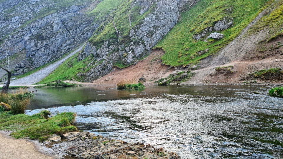
Dovedale Stepping Stones and Thorpe Cloud

Overview

About Thorpe Cloud

Why stop

  • Wide Dove valley and White Peak views
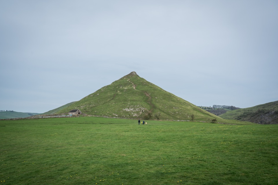
  • Distinctive limestone reef-knoll profile

Heads up

  • Steep, slippery descent after wet weather
  • Busy access area in fine weather

Map

Where it is

Loading the Peak District map
Full map
SightThorpe Cloud53.05595, -1.77481
Keep this map with you offline in the Parkwolf app

Plan your stop

Before you go

5 active Peak District alerts

  • ClosureA54 Cat and Fiddle road closureThe A54 Macclesfield Main Road (Cat and Fiddle) is fully closed to all traffic from 27 July through 30 October 2026 during phase 1 improvement works.Official details
  • ClosureHooks Carr (Stanage Popular) car park closureHooks Carr (Stanage Popular) car park will be partially or fully closed from 6 October for four weeks.Official details

See all 5 alerts
A park ranger sits on a dash-mounted phone, talking, as Parkwolf’s Tour Guide plays “Army Cutworm Moths: A Grizzly Bear Buffet” on Grand Loop Road below Dunraven Pass in Yellowstone
Parkwolf Tour GuideThe highest, rockiest slopes around here are a summer buffet for grizzly bears.

Peak District Tour Guide

Your drive to Thorpe Cloud, narrated.

Parkwolf is a GPS audio tour guide for Peak District National Park. As you drive, it chimes in with what’s ahead: hidden gems, upcoming stops, history, geology, and wildlife, right through your car’s speakers.

Recorded for this place

Dovedale Stepping Stones and Thorpe Cloud
0:00 / 0:33
“Up ahead is Dovedale, where a short riverside walk leads to the stepping stones beneath Thorpe Cloud.”

Plays as you drive up to Thorpe Cloud in the Parkwolf Peak District Tour Guide.

More stories near here in the app

  • The Coins in Reynard's Kitchen
  • The Spires Above Dovedale
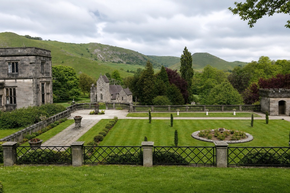
  • Ilam Park and Holy Cross Church
  • The River's Hidden Crayfish
  • 298 audio storiesacross Peak District’s roads, triggered by GPS as you drive
  • Wildlife heatmapsfor Red Deer, Red Fox, Eurasian Otter, and 13 more
  • Works offlinemaps, 88 trails, 76 places, and audio download before you lose signal
  • CarPlay readysimple controls built for the drive
★★★★★
“Fantastic app with many points of information… It’s great to just turn on while you’re driving and it gives you an audio tour of the national Park. We love it!!!!”
JMJamesApp Store review
Download Parkwolf on the App StoreGet Parkwolf on Google Play

4.7 from 8,600+ ratings

Guide

More about Thorpe Cloud

Why it stands outAn isolated limestone hill, known as a reef knoll, rising between Thorpe and Ilam on the…

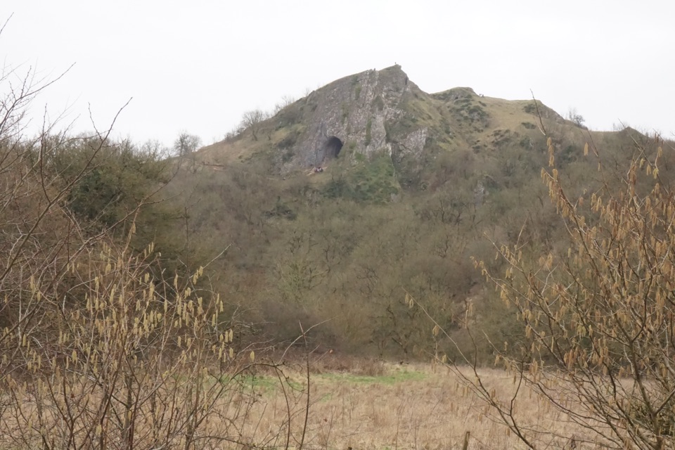
An isolated limestone hill, known as a reef knoll, rising between Thorpe and Ilam on the Derbyshire/Staffordshire border. At 287 metres it is small by mountain standards, but its shape and position above the Dove valley make it one of the most recognisable landmarks in the White Peak, and the summit view is out of all proportion to the effort.

What you see and doThe top is a broad, grassy-and-limestone crown with wide, open views across Staffordshire and…

The top is a broad, grassy-and-limestone crown with wide, open views across Staffordshire and Derbyshire countryside and down into the valley, where the River Dove curls below. It is a natural place to sit for a while, pick out the ridges, and watch walkers moving along the dale far below.

How the climb feelsQuick but genuinely steep. Expect roughly 20 to 30 minutes up from the usual valley approaches.
  • Quick but genuinely steep. Expect roughly 20 to 30 minutes up from the usual valley approaches.
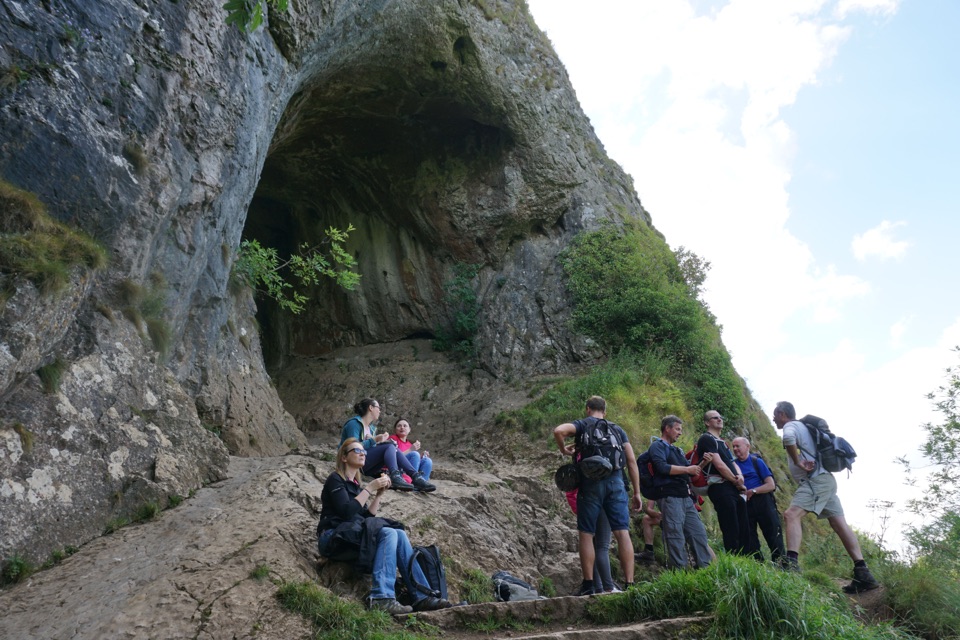
  • The upper section steepens into a short scramble over rock and worn ground.
  • The descent is the harder half for many people: loose stone, uneven footing and slopes that punish poor footwear.
  • A popular circular option is the short loop round Thorpe Cloud from Dovedale Car Park, about 1.2 miles and roughly an hour, if you would rather walk beneath it than climb it.
Dovedale and the stepping stonesDovedale is the setting and the usual access point.

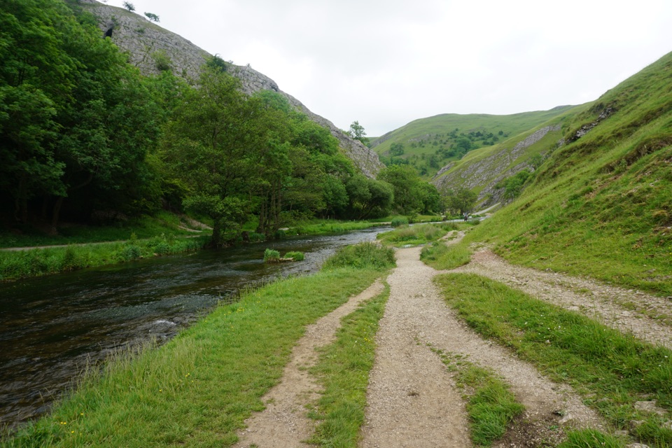
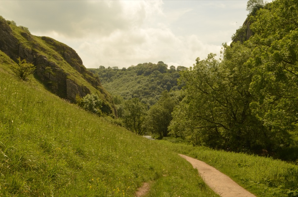
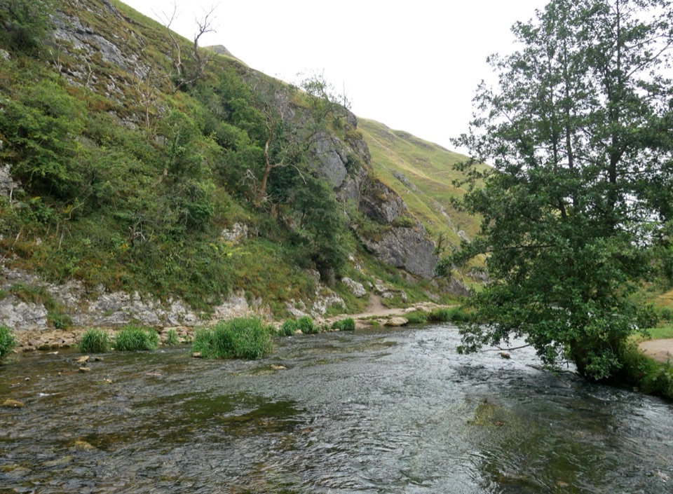
Dovedale is the setting and the usual access point. The famous stepping stones across the River Dove sit down in the dale, not on the hill, so treat them as a separate stop on the same outing. The riverside path beyond the hill is clearer and flatter, with woodland and wildlife, and makes a good gentler companion to the climb or a plan B if the summit looks too much.

Practical adviceWear sturdy walking boots.
  • Wear sturdy walking boots. Fields, slopes and scree can be muddy, eroded and slippery, especially after heavy rain.
  • Go in drier weather if you can; wet limestone and churned grass turn the steep parts into hard work.
  • Early morning or late afternoon visits are quieter and more comfortable. The area is popular and car parks at Dovedale and Ilam can fill early on weekends, bank holidays and school holidays.
  • Visitor facilities, including toilets, are in the Dovedale and Ilam Park access areas, so plan around that before you start up.
  • Dogs on leads, particularly in grazing areas and the nature reserve.
  • Where waymarked alternative routes are signed around eroded ground, follow them.
Honest drawbacksThis is not an easy stroll for everyone.

This is not an easy stroll for everyone. The gradient is unrelenting for its length, the ground is uneven, and the route is unsuitable for pushchairs and awkward for anyone unsure on steep, loose descents. On sunny midday weekends both the hill and the valley below get busy, which takes some of the quiet out of the view.

Wildlife

Wildlife in Peak District

All Peak District wildlife maps

Sighting maps show where each species has been reported across Peak District. Wildlife moves, so no sighting is guaranteed.

Keep exploring

Near Thorpe Cloud

See it all on the map

Trails nearby

More stops nearby

Parkwolf’s Peak District ranking

Top sights in Peak District

All 76 places
  1. 1Chatsworth HouseSight
  2. 2Mam TorSight
  3. 3Dovedale Stepping StonesSight
  4. 4Ladybower ReservoirSight
  5. 5Stanage EdgeSight
  6. 6Kinder ScoutSight

Take Parkwolf to Peak District.

The audio tour guide for the drive, plus offline maps, trails, and wildlife heatmaps for when the signal drops.

4.7 from 8,600+ ratings

Download Parkwolf on the App StoreGet Parkwolf on Google Play