Parking
Use Ilam Park car park at the stableyard, the published start and finish. National Trust members park free; other visitors use pay-and-display parking. Toilets and the Manifold tea-room are beside the stableyard.
Peak District National Park, EN
River crossings, limestone views and old mine workings fill this long loop
Overview
Map & elevation
Plan your hike

The highest, rockiest slopes around here are a summer buffet for grizzly bears.
Peak District Tour Guide
Parkwolf is a GPS audio tour guide for Peak District National Park. As you drive, it chimes in with what’s ahead: hidden gems, upcoming stops, history, geology, and wildlife, right through your car’s speakers.
Recorded for this trailhead
Ilam Park and Holy Cross Church“Up ahead is Ilam Park, where Ilam Hall and Holy Cross Church stand above lawns with Thorpe Cloud beyond.”
Plays as you drive up to this trailhead in the Parkwolf Peak District Tour Guide.
More stories near here in the app
“Fantastic app with many points of information… It’s great to just turn on while you’re driving and it gives you an audio tour of the national Park. We love it!!!!”


Trail guide
This 10-mile (16 km) loop starts at Ilam Park stableyard and reaches Wetton by way of the Manifold and Hamps valleys, then returns through Castern Hall and Ilam Park. It links river paths with open limestone farm country rather than following one valley the whole way. Allow about 4 hours 15 minutes; the viewpoint, hills and stiles make it a substantial day out.
From the stableyard, descend a stone track to the River Manifold and cross the metal bridge. Squeeze stiles and field paths lead to a road climb toward Throwley, then more farm ground takes you to Beeston Tor Farm and the Manifold Trail. That former railway path follows the river valley and crosses the Hamps. After Weags Bridge, take the signed uphill spur to the limestone viewpoint, then return to the main path. The route enters Wetton through fields and the churchyard, passing the Royal Oak.
From Wetton, head across fields toward Grindon. The path runs beside the escarpment, passes old mine workings, then follows a green farm track to a lane behind Castern Hall. It is still open hill country, with livestock fields and gates. Descend past Castern Hall and River Lodge before crossing back into Ilam Park. Paradise Walk runs beneath lime trees; near the river, a rock face has boil holes where the Hamps and Manifold reappear after flowing underground. A final climb through the Italian Garden brings you back to the stableyard.
Use Ilam Park car park at the stableyard, the official start and finish. National Trust members park free; others pay and display. Toilets and the Manifold tea-room are by the start, and the Royal Oak is passed in Wetton. Expect several climbs, uneven paths, stiles and a little road walking; muddy ground can slow things after rain. Dogs are welcome but need to stay on leads throughout because the route crosses fields grazed by cattle and sheep.
Wildlife
 248 sightingsRed DeerMost seen around 7 AMSighting map
 36 sightingsRed FoxMost seen around 6 AMSighting map
 15 sightingsEurasian OtterMost seen around 7 PMSighting map
 51 sightingsPeregrine FalconMost seen around 6 PMSighting map
 47 sightingsEuropean Fallow DeerMost seen around 6 AMSighting map
 54 sightingsWestern Roe DeerMost seen around 7 PMSighting map
Sighting maps show where each species has been reported across Peak District. Wildlife moves, so no sighting is guaranteed.
Keep exploring
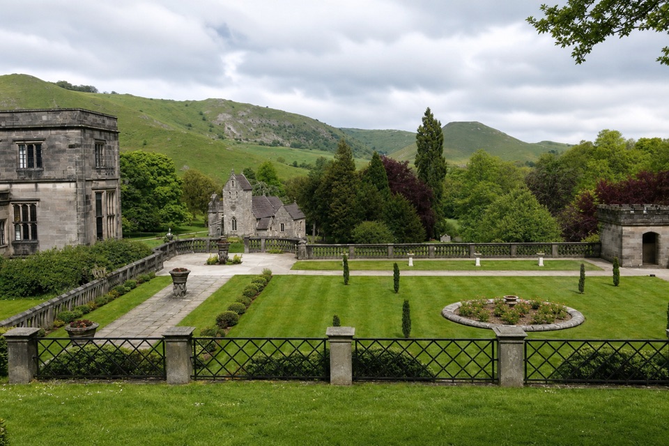 EasyIlam Park Accessible Route1 km · 30 min · At the trailheadA short accessible loop around Ilam Hall and its parkland.
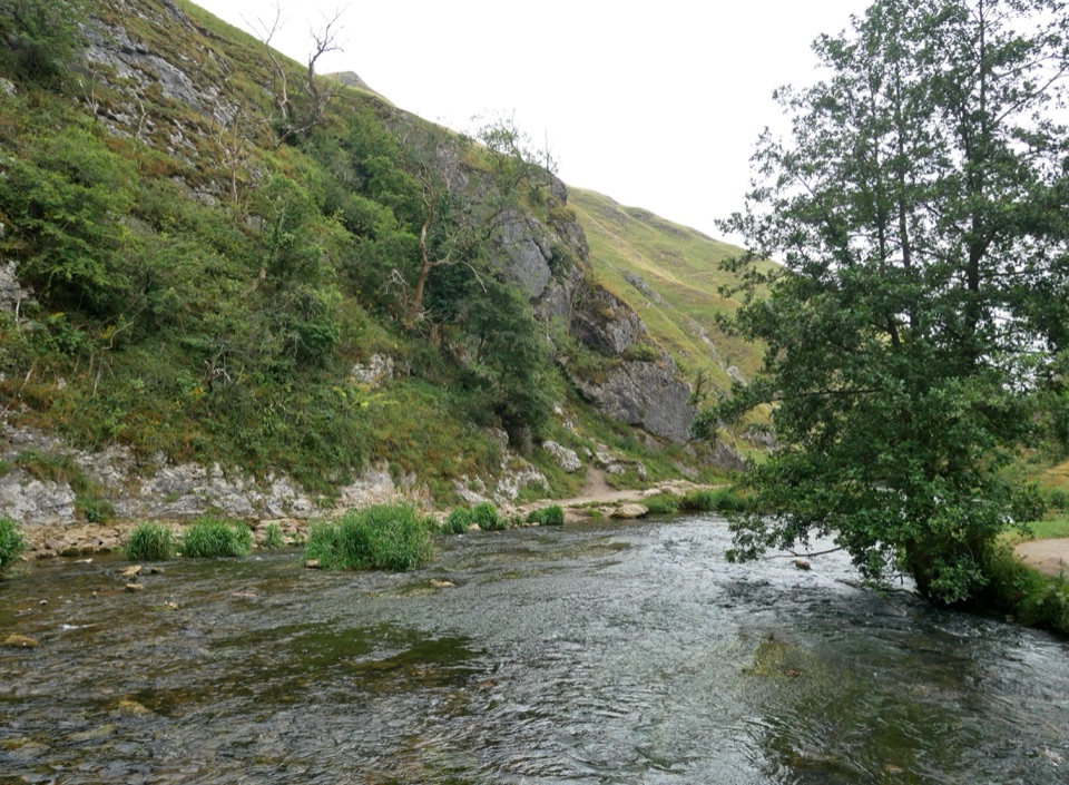 EasyIlam Park to Dovedale Stepping Stones Trail2.4 km · 40 min · 0.1 km awayA historic village walk to the River Dove’s famous stepping stones.
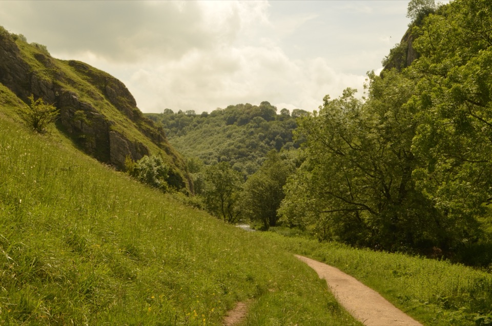 ModeratePeak Pilgrimage56.3 km · 2 days · 0.2 km awayA church-to-church pilgrimage through limestone dales and living history.
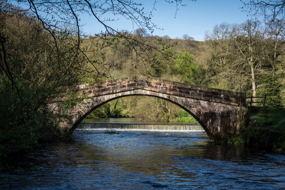 EasyHinkley Wood Route at Ilam Park1.2 km · 20 min · 0.2 km awayShort walk from St Bertram’s Bridge toward Hinkley Wood
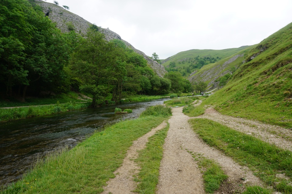 EasyDovedale Access for All1.3 km · 30 min · 1.6 km awayA short, firm riverside path to Dovedale’s famous stepping stones.
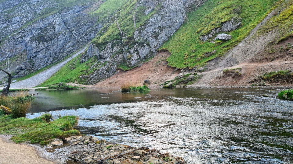 ModerateDovedale to Milldale Walk9.7 km · 4.5 hr · 1.6 km awayFollow the Dove past limestone spires to Milldale.
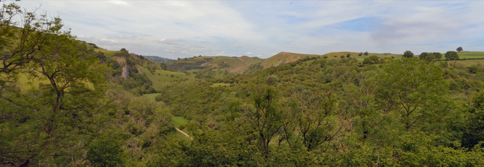 ModerateManifold Valley and Thor's Cave Circular Walk7.7 km · 3 hr · 5 km awayA limestone cave, river valley and steep return in one short loop.
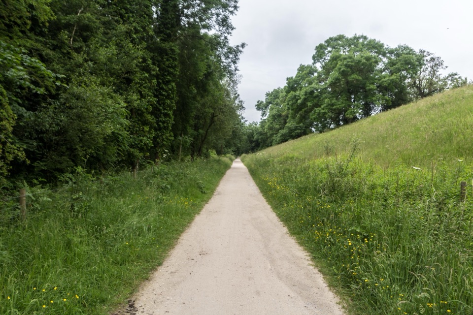 ModerateTissington Trail21.1 km · 5.5 hr · 5.8 km awayA former railway makes a long White Peak crossing feel gentler.
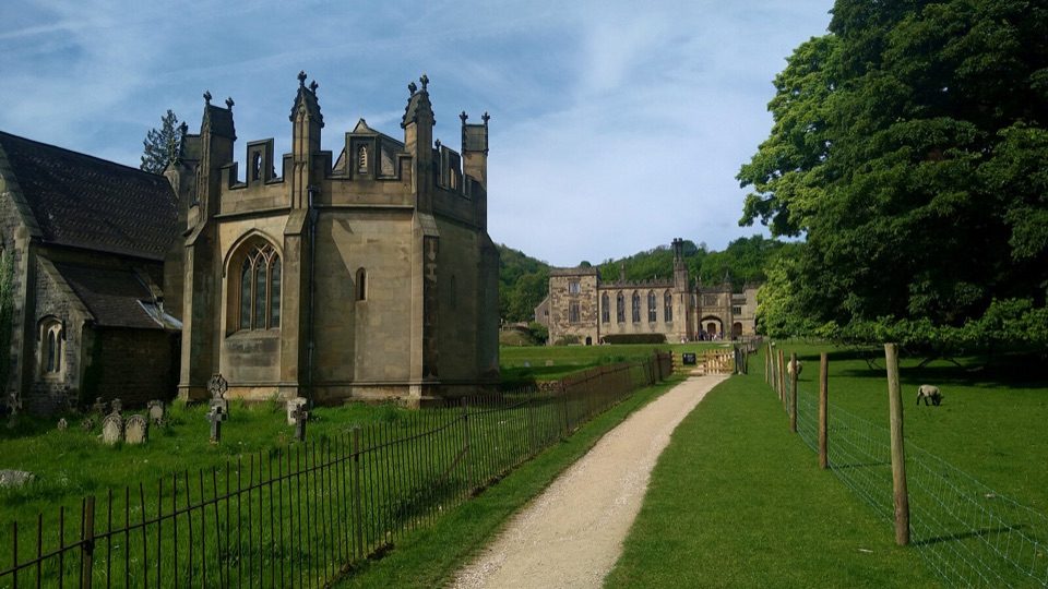 Sight · 0.1 km awayIlam ParkHall, church and park lawns framed by limestone hills above Dovedale
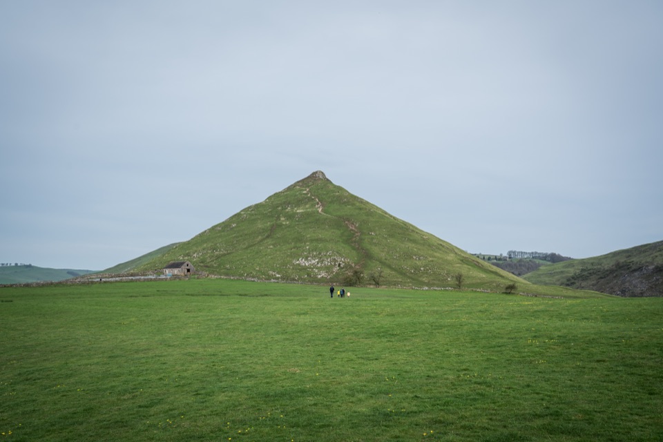 Sight · 2.2 km awayThorpe CloudA short, steep limestone climb to huge views over Dovedale
 Sight · 2.2 km awayDovedale Stepping StonesHop limestone blocks across the River Dove below Thorpe Cloud
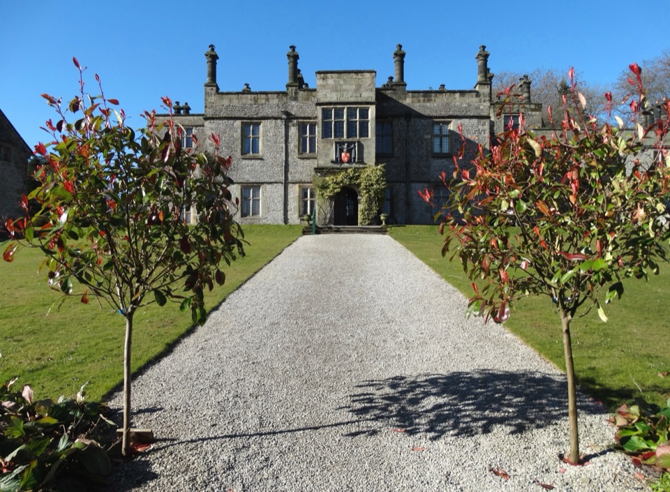 Sight · 4.7 km awayTissington HallJacobean family seat since 1609, open on selected guided-tour days
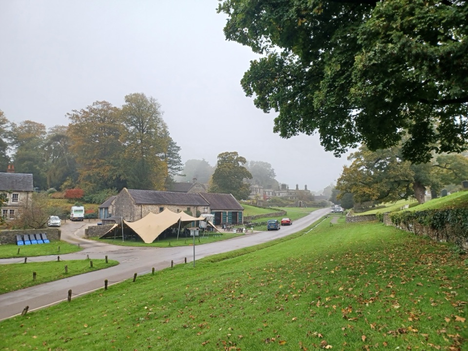 Sight · 4.7 km awayTissingtonJacobean hall, Norman church and duck pond along one estate street
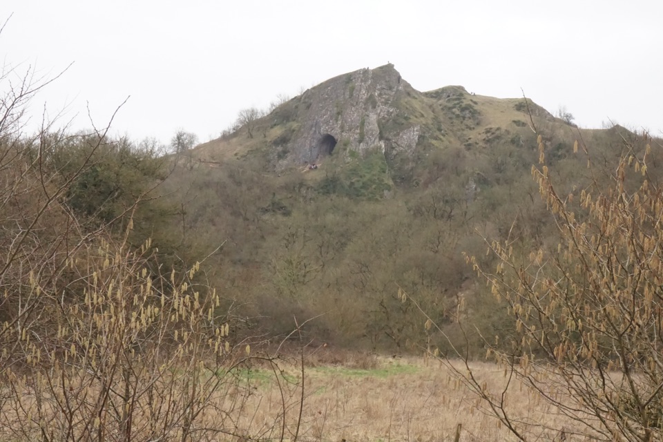
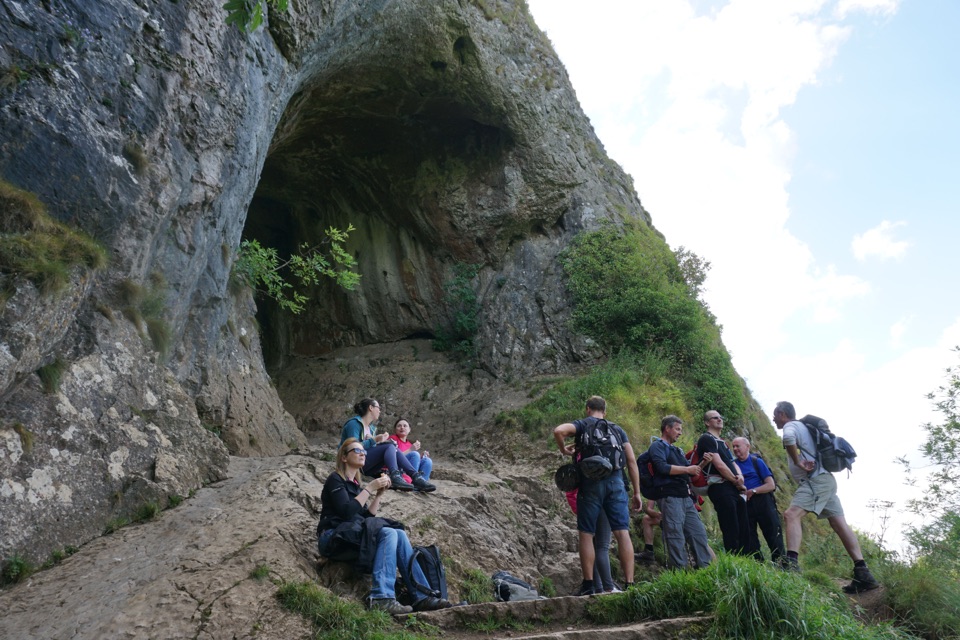 Sight · 5.4 km awayThor's CaveA gaping limestone cave mouth high above the Manifold Valley
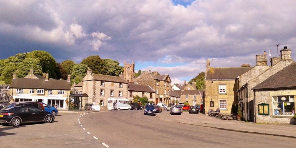 Sight · 9.8 km awayHartingtonDuck-pond square, a long-standing cheese shop, and footpaths into Dovedale
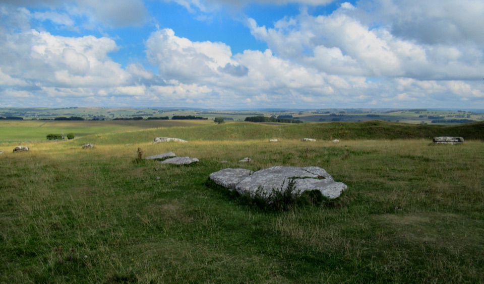 Sight · 13.3 km awayArbor Low Stone Circle and Gib Hill BarrowFallen limestone slabs ring a Neolithic henge with long Derbyshire views
Parkwolf’s Peak District ranking
 The Roaches and Lud’s Church Circular from Hen CloudModerate · 12.2 km
 Mam Tor Circular WalkModerate · 4.8 km
 Castleton, Mam Tor & the Great Ridge WalkModerate · 10.5 km
 Stanage Edge from HathersageModerate · 10.6 km
 Kinder Scout Circular via Jacob’s LadderChallenging · 12.1 km
 Padley Gorge and Burbage Brook WalkEasy · 3.7 km
The audio tour guide for the drive, plus offline maps, trails, and wildlife heatmaps for when the signal drops.