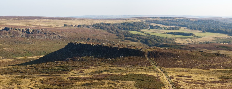
Carl Wark in Peak District National Park

Sight · Peak District National Park

Carl Wark

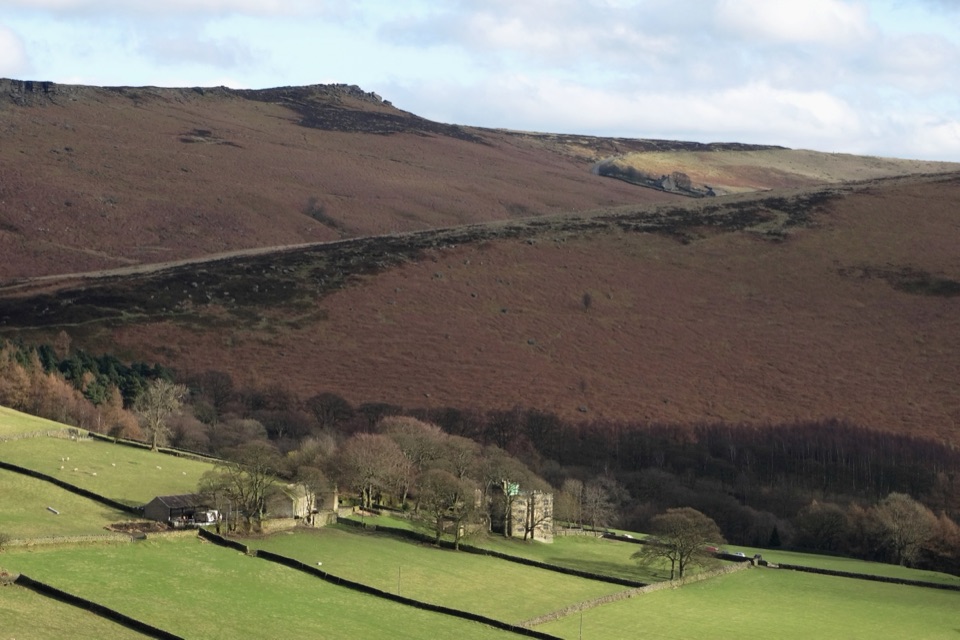
Believed Iron Age hillfort perched on gritstone above open moorland

Photo: Wikimedia Commons
Type
Sight
Nearest trail
1.5 km
Audio stories
7 nearby

Hear the audio tour

Higger Tor and Carl Wark

Overview

About Carl Wark

Why stop

  • Prehistoric hillfort and wide moorland views in one stop
  • Easy to pair with Higger Tor and Burbage routes

Heads up

  • Rocky paths, boggy patches and light scrambling
  • Understated on its own beside nearby tors

Map

Where it is

Loading the Peak District map
Full map
SightCarl Wark53.32919, -1.61189
Keep this map with you offline in the Parkwolf app

Plan your stop

Before you go

Best time to go

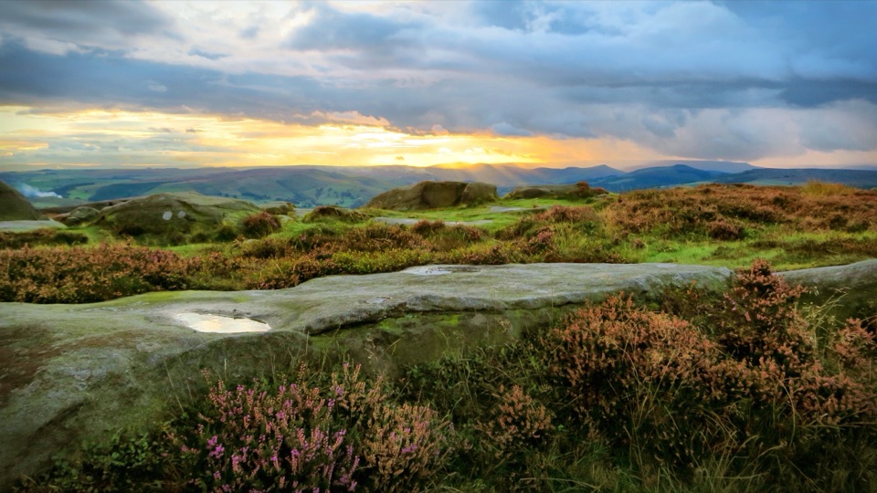
Clear, settled weather transforms the visit, because the long views over the moors and valley are most of the reward. Low sun early or late in the day picks out the texture of the gritstone and the built lines of the defences. Late summer can bring heather colour across the surrounding moor, though that is never guaranteed in any given week.


5 active Peak District alerts

  • ClosureA54 Cat and Fiddle road closureThe A54 Macclesfield Main Road (Cat and Fiddle) is fully closed to all traffic from 27 July through 30 October 2026 during phase 1 improvement works.Official details
  • ClosureHooks Carr (Stanage Popular) car park closureHooks Carr (Stanage Popular) car park will be partially or fully closed from 6 October for four weeks.Official details
See all 5 alerts
A park ranger sits on a dash-mounted phone, talking, as Parkwolf’s Tour Guide plays “Army Cutworm Moths: A Grizzly Bear Buffet” on Grand Loop Road below Dunraven Pass in Yellowstone
Parkwolf Tour GuideThe highest, rockiest slopes around here are a summer buffet for grizzly bears.

Peak District Tour Guide

Your drive to Carl Wark, narrated.

Parkwolf is a GPS audio tour guide for Peak District National Park. As you drive, it chimes in with what’s ahead: hidden gems, upcoming stops, history, geology, and wildlife, right through your car’s speakers.

Recorded for this place

Higger Tor and Carl Wark
0:00 / 0:31
“You're nearing Higger Tor, where a short rocky climb reaches a broad summit scattered with boulders.”

Plays as you drive up to Carl Wark in the Parkwolf Peak District Tour Guide.

More stories near here in the app

  • Padley Gorge and Longshaw
  • Surprise View
  • Longshaw Estate Walks and Café
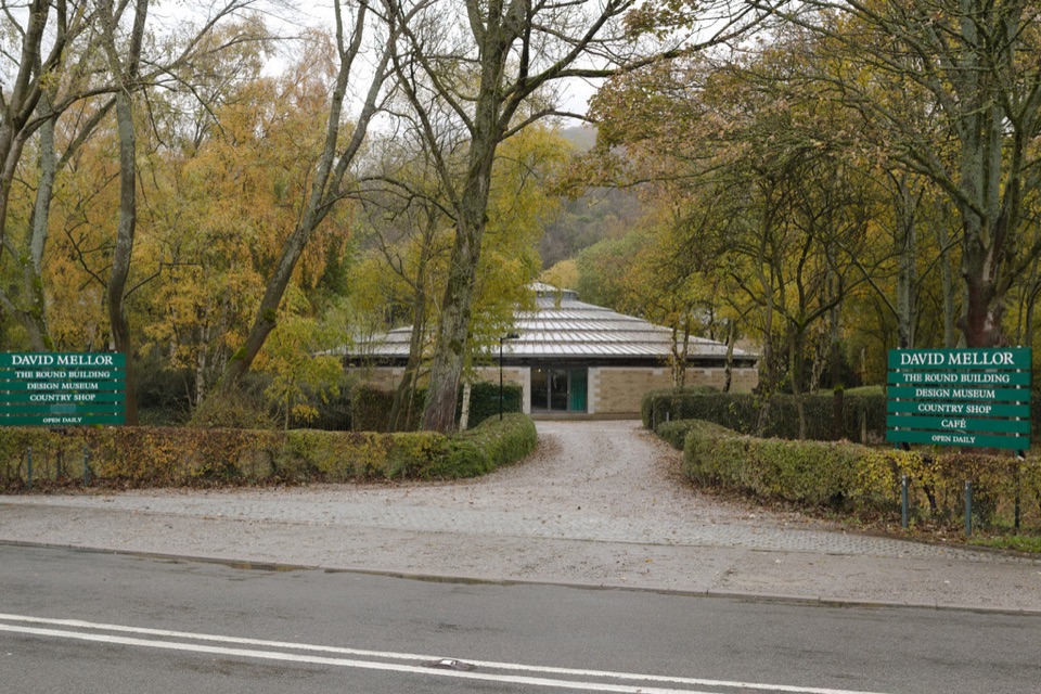
  • David Mellor Visitor Centre
  • 298 audio storiesacross Peak District’s roads, triggered by GPS as you drive
  • Wildlife heatmapsfor Red Deer, Red Fox, Eurasian Otter, and 13 more
  • Works offlinemaps, 88 trails, 76 places, and audio download before you lose signal
  • CarPlay readysimple controls built for the drive
★★★★★
“Fantastic app with many points of information… It’s great to just turn on while you’re driving and it gives you an audio tour of the national Park. We love it!!!!”
JMJamesApp Store review
Download Parkwolf on the App StoreGet Parkwolf on Google Play

4.7 from 8,600+ ratings

Guide

More about Carl Wark

What you find up hereA low, rugged gritstone promontory on Hathersage Moor that carries the remains of what is…

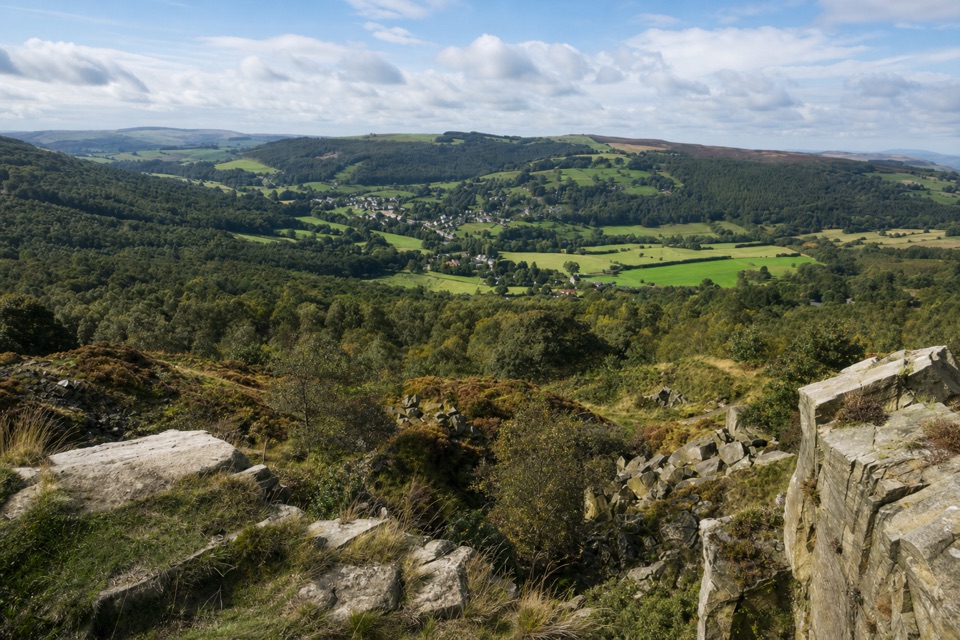
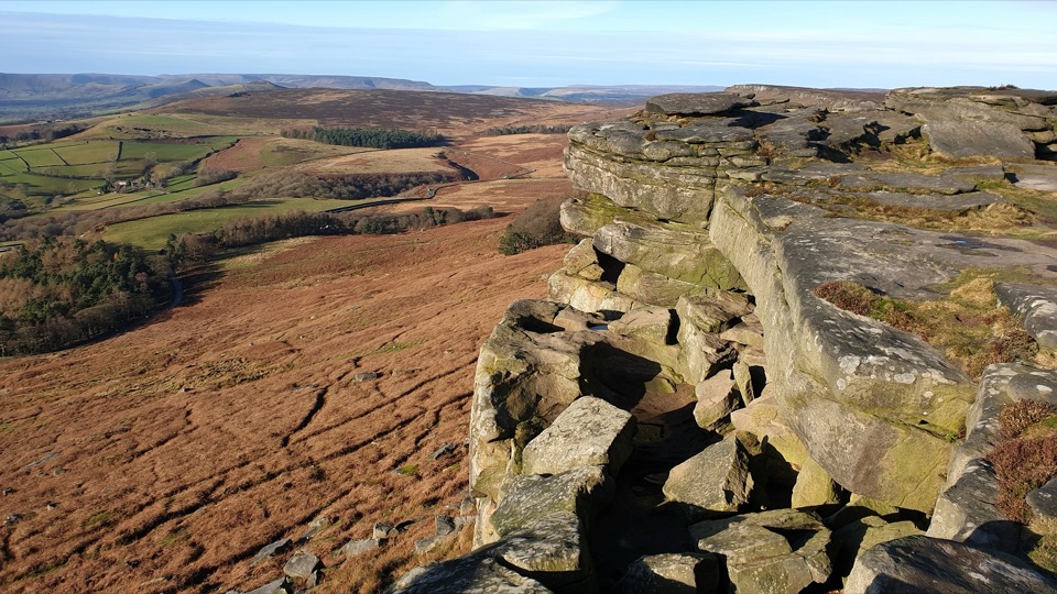
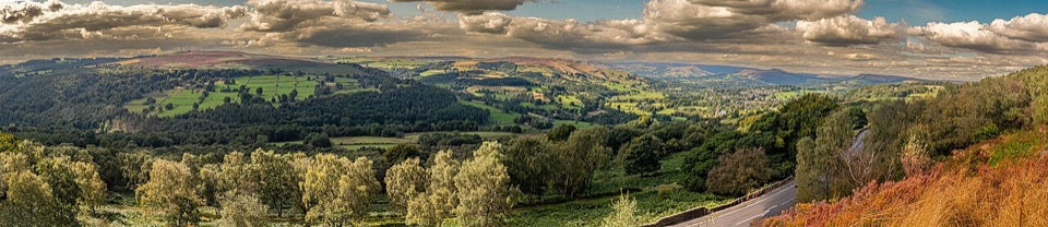
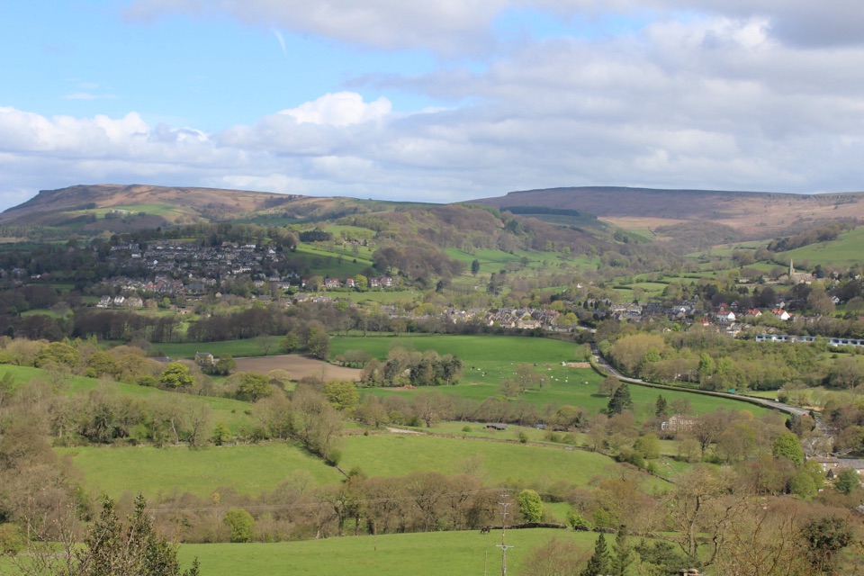
A low, rugged gritstone promontory on Hathersage Moor that carries the remains of what is regarded as an Iron Age hill fort. The date is not certain, but it is believed to have been built somewhere between roughly 500 and 800 BC. What you see today is a natural rock platform with steep, near vertical sides and built-up defensive lines, ringed by heather moorland and crossed by worn paths. From the top the ground falls away in most directions, giving broad views across the moors and the Hope Valley and out to the gritstone edges.

Why it is distinctThe interest is as much tactical as scenic.

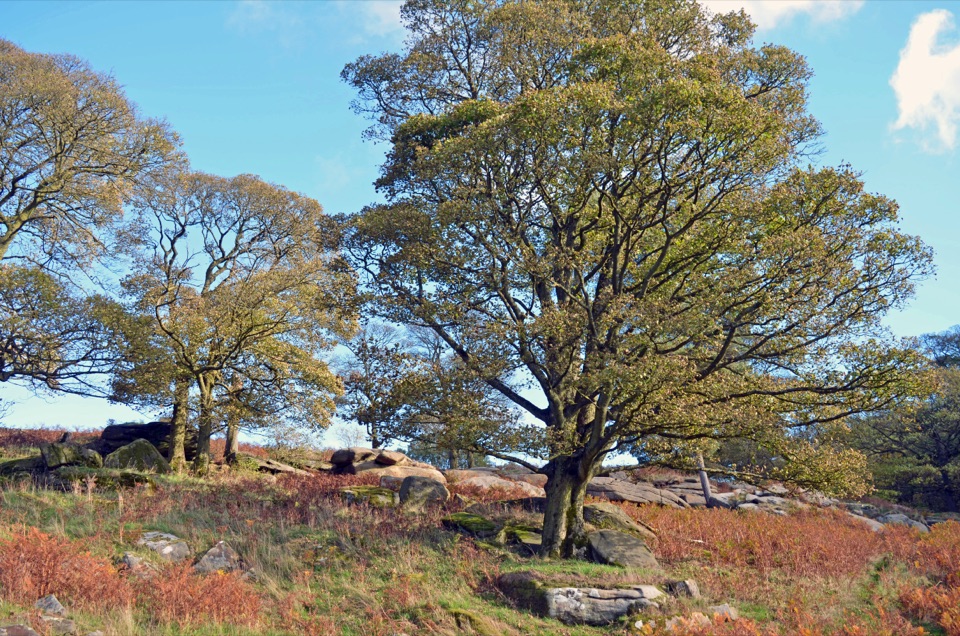
The interest is as much tactical as scenic. The fort sits on a smaller, lower outcrop than neighbouring Higger Tor, which looks like a strange choice until you stand there: the gap is wide enough to be out of missile range from the higher ground, and the crag's sheer flanks made the site far easier to defend. Seeing that logic in the landscape is the point of the visit. The surrounding terrain, with huge boulders set among heather and cotton grass, also has a cinematic quality, and this stretch of moor was used as a location in the 1987 film The Princess Bride, with Higger Tor standing in the background.

Approaching itCarl Wark is reached on foot across open moorland, and there are several sensible starting…

Carl Wark is reached on foot across open moorland, and there are several sensible starting points rather than one official route. Walkers commonly begin from Upper Burbage or Burbage Bridge to the north and link the fort into a circular loop, and other routes come in from the Surprise View area or the Longshaw side to the south. Distance and effort vary a lot depending on which start and loop you choose, so plan the walk rather than assuming a set length. The final approach involves short sections of light scrambling and uneven footing to get onto the rock platform.

Practical preparationFootwear matters: paths are sandy, rocky and uneven, with occasional small boggy patches after…
  • Footwear matters: paths are sandy, rocky and uneven, with occasional small boggy patches after wet weather.
  • Bring layers and weather protection. The approach crosses exposed upland ground where conditions can change quickly.
  • Carry what you need. No facilities at the fort itself were positively verified, so sort water and food before you set off. The Longshaw area to the south has a cafe and toilets and is a reasonable place to build in a stop, though the walking distance from the fort depends on the route you take.
Honest drawbacksVisited on its own, the fort can feel understated next to the more dramatic tors nearby, and…

Visited on its own, the fort can feel understated next to the more dramatic tors nearby, and the remains take some looking at before they read as defences. It works far better as one stop on a circular walk taking in Higger Tor and the Burbage valley. Add to that the exposed ground, the boggy patches and the scramble onto the rock, and it is a place best approached as a moorland walk with real history attached rather than a quick roadside stop.

Wildlife

Wildlife in Peak District

All Peak District wildlife maps

Sighting maps show where each species has been reported across Peak District. Wildlife moves, so no sighting is guaranteed.

Keep exploring

Near Carl Wark

See it all on the map

Trails nearby

More stops nearby

Parkwolf’s Peak District ranking

Top sights in Peak District

All 76 places
  1. 1Chatsworth HouseSight
  2. 2Mam TorSight
  3. 3Dovedale Stepping StonesSight
  4. 4Ladybower ReservoirSight
  5. 5Stanage EdgeSight
  6. 6Kinder ScoutSight

Take Parkwolf to Peak District.

The audio tour guide for the drive, plus offline maps, trails, and wildlife heatmaps for when the signal drops.

4.7 from 8,600+ ratings

Download Parkwolf on the App StoreGet Parkwolf on Google Play