Parking
Start at the paid Calton Lees car park beside Chatsworth Garden Centre.
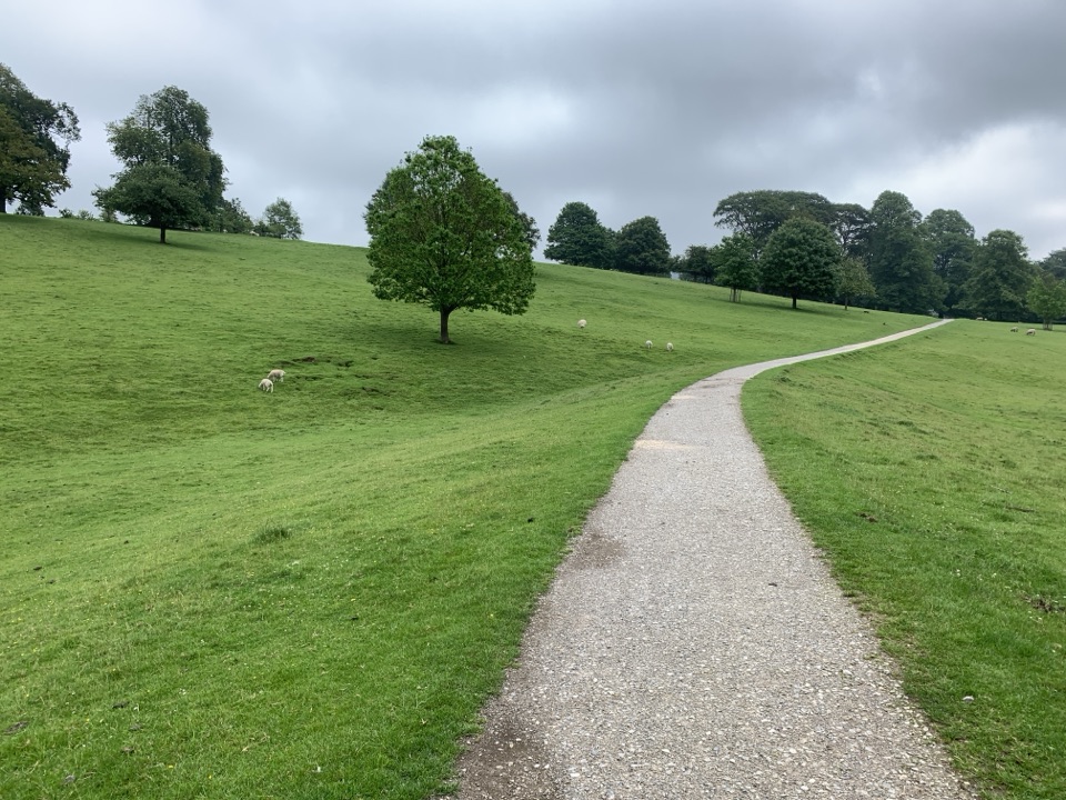
Peak District National Park, EN
Country lanes, a steep village descent and Chatsworth in view.
Overview
This 3.8-mile (about 6.2 km) loop starts at Calton Lees car park and links the hamlet of Calton Lees, field paths, Edensor and Chatsworth parkland before returning to the same car park. Allow 1½ to 2 hours. Most of the walking is on quiet lanes and estate paths, with uneven field sections and one steep stepped descent into the village. Choose it for a mix of countryside and Chatsworth views rather than a short, easy stroll.
 Parkwolf’s verdictIs this the walk for you?
Map & elevation
Plan your hike

The highest, rockiest slopes around here are a summer buffet for grizzly bears.
Peak District Tour Guide
Parkwolf is a GPS audio tour guide for Peak District National Park. As you drive, it chimes in with what’s ahead: hidden gems, upcoming stops, history, geology, and wildlife, right through your car’s speakers.
Recorded for this trailhead
Chatsworth House and Parkland“You're coming up on the Chatsworth estate, and this is a place to give most of a day if you want the house, garden and parkland.”
Plays as you drive up to this trailhead in the Parkwolf Peak District Tour Guide.
More stories near here in the app
“Fantastic app with many points of information… It’s great to just turn on while you’re driving and it gives you an audio tour of the national Park. We love it!!!!”


Trail guide
Follow the lane past the garden centre and through Calton Lees, then continue by Pingle and Rye Croft cottages until the lane narrows and reaches a wide field gate. Turn beside the stone wall for a view across the Derwent Valley, then cross pasture toward a wooded strip. Beyond the wood, the route opens onto Chatsworth parkland; keep left of a small copse and follow the line toward St Peter’s church spire. A narrow iron gate and steep, uneven steps with handrails lead down into Edensor. Gates mark the fields, but the route has no stiles.
Walk through Edensor to the blue gates, cross the road and climb the path over the small hill. From the crest, Chatsworth House comes into view ahead. The path drops toward James Paine’s Bridge, but the circuit does not cross it: cross the approach road before the bridge and follow the parkland path with the house and River Derwent on your left. The rise above Edensor is the best place to frame the house with the path in the foreground. Broad steps take you up to the B6012; cross the road and follow the gates back to the car park.
Calton Lees is a paid car park beside Chatsworth Garden Centre, whose café is handy at the start or finish. Edensor Tea Room lies around halfway, and toilets are available at the centre and near the Chatsworth House entrance. Wear sturdy footwear: field paths can be muddy after rain, and the handrailed village steps are steep. Dogs are allowed in the park but must be kept on a lead around grazing animals. A separate 3-mile circuit from the same car park also visits Edensor, but follows a different line.
Wildlife
 248 sightingsRed DeerMost seen around 7 AMSighting map
 36 sightingsRed FoxMost seen around 6 AMSighting map
 15 sightingsEurasian OtterMost seen around 7 PMSighting map
 51 sightingsPeregrine FalconMost seen around 6 PMSighting map
 47 sightingsEuropean Fallow DeerMost seen around 6 AMSighting map
 54 sightingsWestern Roe DeerMost seen around 7 PMSighting map
Sighting maps show where each species has been reported across Peak District. Wildlife moves, so no sighting is guaranteed.
Keep exploring
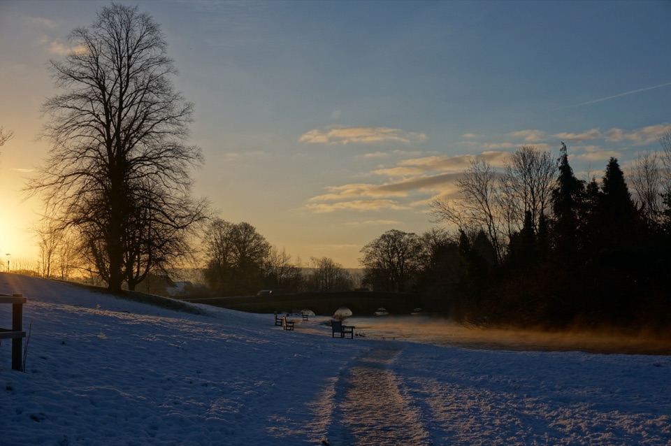 EasyBakewell and the River Wye Loop3.2 km · 1 hr · 4 km awayA short town loop for millstreams, old bridges and the River Wye.
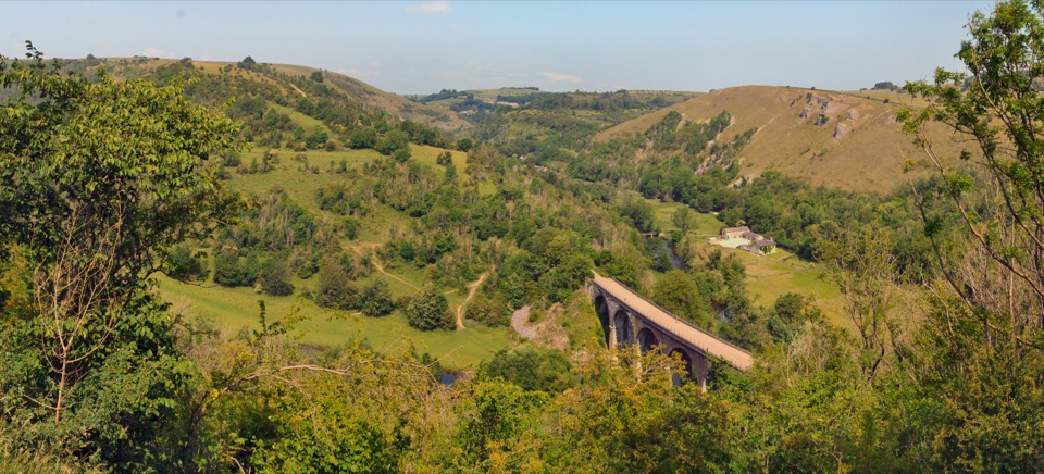 ChallengingMonsal Trail and Monsal Dale Loop from Bakewell19.7 km · 5.5 hr · 4.4 km awayViaduct views, a river dale and a lead mine in one loop
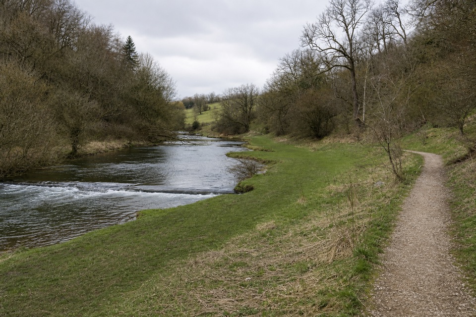 EasyConksbury Miles without Stiles1 km · 20 min · 5.5 km awayA flat riverside path ends where the firm limestone surface does.
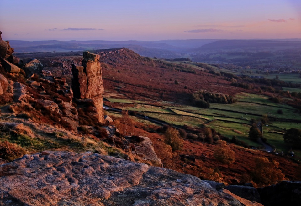 ModerateCurbar, Birchen Edge, Baslow Edge and Curbar Edge Loop13.5 km · 4 hr · 6.1 km awayThree gritstone edges, the Three Ships, and one boggy moor crossing.
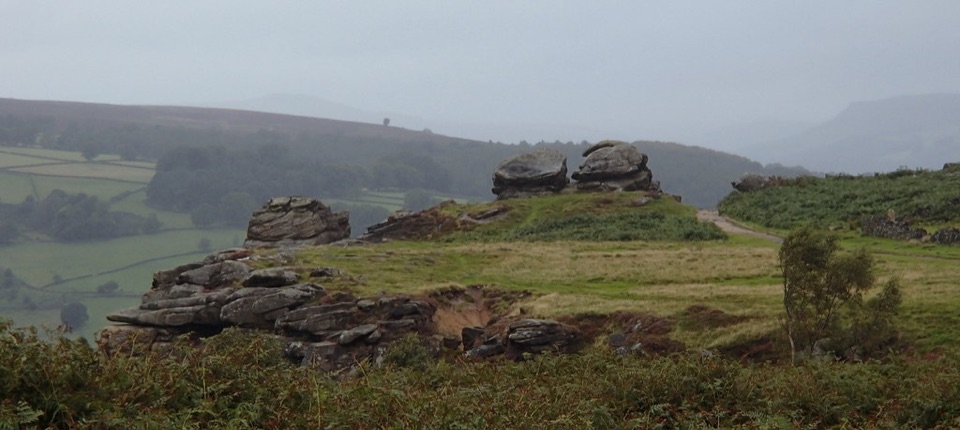 ModerateFroggatt, Curbar and White Edge Red Deer Circular Walk9.6 km · 3 hr · 6.2 km awayThree gritstone edges, a red deer moor and a pub halfway round.
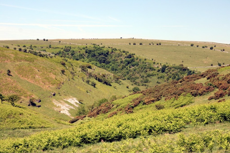 EasyCoombs Dale Miles without Stiles3.2 km · 1.3 hr · 6.9 km awayAn easy-access limestone dale walk with a surfaced track and benches
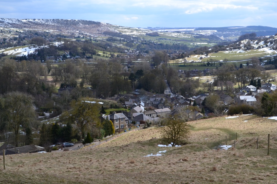 ModerateStoney Middleton Heritage Trail (Purple Walk)4.1 km · 1.5 hr · 7.9 km awayA limestone heritage loop through village lanes and cliff paths
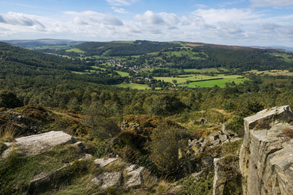 ModerateViews and Woodlands Walk at Longshaw8.4 km · 3.5 hr · 9.3 km awayWoodland paths, a boggy packhorse track, and a clifftop panorama.
 Sight · 1.6 km awayChatsworth HouseArt-filled state rooms, a 105-acre garden and 1,822 acres of parkland
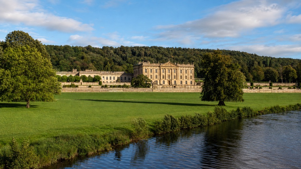 Campground · 2.6 km awayChatsworth Park Caravan and Motorhome Club CampsiteOld walled garden with its own gate into Chatsworth's parkland
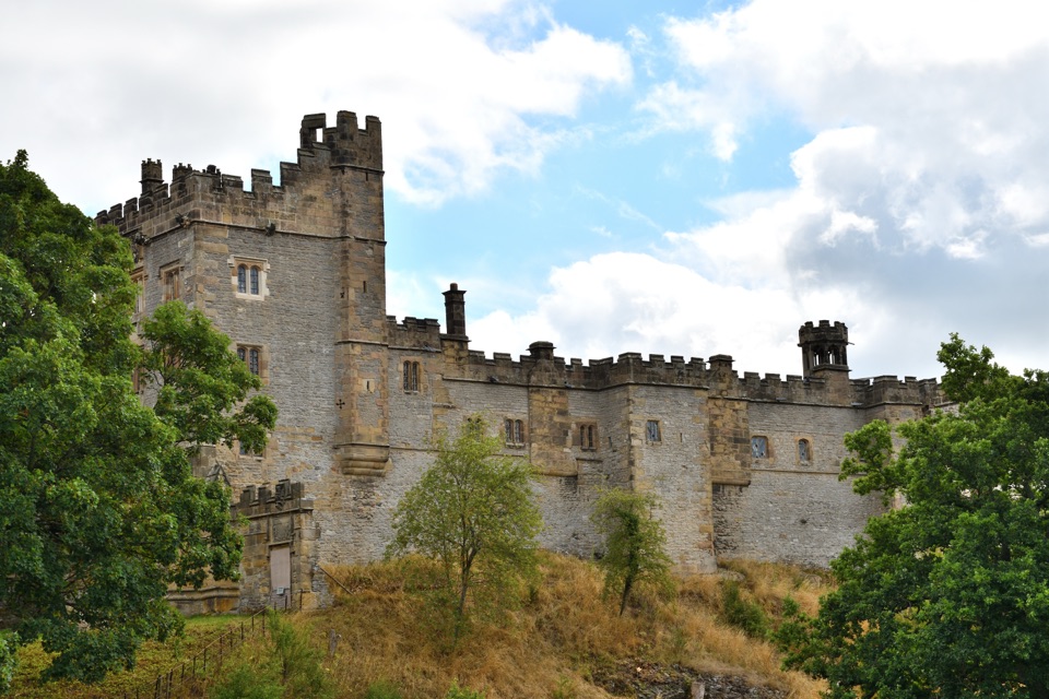 Sight · 3.3 km awayHaddon HallA 900-year-old family home with medieval halls and terraced Wye gardens
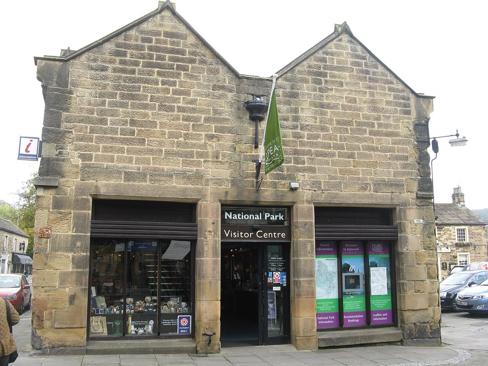 Visitor center · 4 km awayNational Park Centre - BakewellMaps, route advice and a gallery in Bakewell's 17th-century market hall
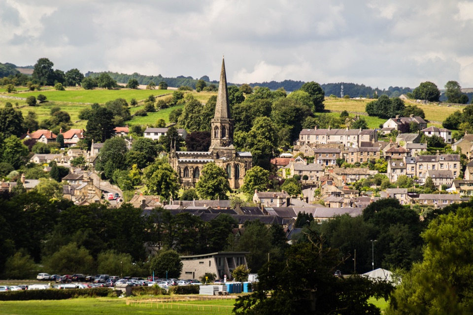 Sight · 4.2 km awayBakewellMellow stone streets, a five-arched bridge and Monday market stalls
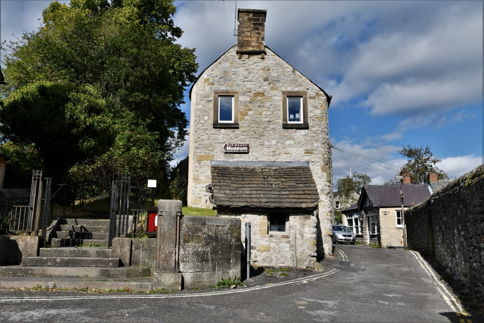 Sight · 4.4 km awayBakewell Old House Museum1534 tithe house hiding Tudor wattle and daub above town
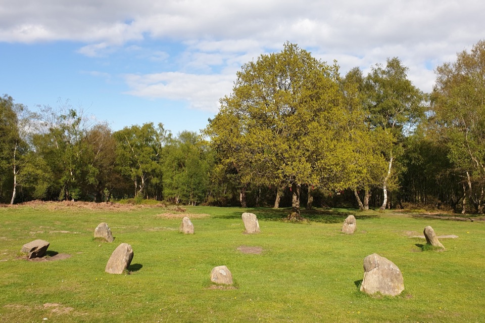 Sight · 5.1 km awayNine Ladies Stone CircleTen weathered stones on open moorland, wrapped in a dancing legend
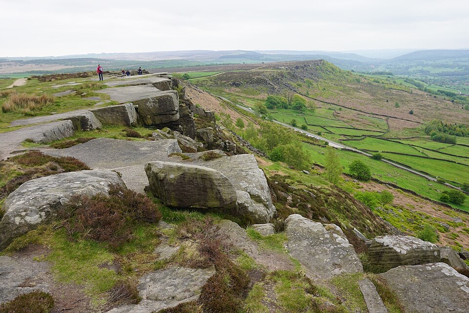 Sight · 6.5 km awayCurbar EdgeWeathered gritstone crags with wide open views over the Derwent Valley
Parkwolf’s Peak District ranking
 The Roaches and Lud’s Church Circular from Hen CloudModerate · 12.2 km
 Mam Tor Circular WalkModerate · 4.8 km
 Castleton, Mam Tor & the Great Ridge WalkModerate · 10.5 km
 Stanage Edge from HathersageModerate · 10.6 km
 Kinder Scout Circular via Jacob’s LadderChallenging · 12.1 km
 Padley Gorge and Burbage Brook WalkEasy · 3.7 km
The audio tour guide for the drive, plus offline maps, trails, and wildlife heatmaps for when the signal drops.