Parking
Langsett Barn Car Park is off the A616; its 62 spaces can fill quickly. Langsett Flouch is an alternative with a height barrier, but reaching this route from there requires crossing the A616.
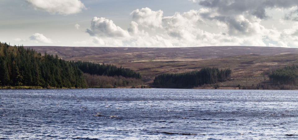
Peak District National Park, EN
A short reservoir loop with an uphill woodland return.
Overview
Map & elevation
Plan your hike

The highest, rockiest slopes around here are a summer buffet for grizzly bears.
Peak District Tour Guide
Parkwolf is a GPS audio tour guide for Peak District National Park. As you drive, it chimes in with what’s ahead: hidden gems, upcoming stops, history, geology, and wildlife, right through your car’s speakers.
Recorded for this trailhead
Langsett Barn and Reservoir Loop“You're approaching Langsett Barn and the start of a short reservoir circuit. The loop is just over two miles: it drops steeply to a level stretch beside the water, then climbs back on rougher paths through woodland.”
Plays as you drive up to this trailhead in the Parkwolf Peak District Tour Guide.
More stories near here in the app
“Fantastic app with many points of information… It’s great to just turn on while you’re driving and it gives you an audio tour of the national Park. We love it!!!!”


Trail guide
This 3.3 km (2.1 mi) circuit starts at Langsett Barn Car Park and follows a woodland path beside the reservoir before climbing back through the trees. It is the Peak District Authority’s “Access for Some” route: short, but not step-free. A separate “Access for Many” branch goes from the field-edge path to a pond and seating; the Authority lists it as 480 m to the pond without stating whether that is one way or return.
From the rear right corner of the car park, take the lower path through the gateposts and descend the steep slope to the water. The next section is level and well surfaced, with trees along the shore and views across Langsett Reservoir to the moorland. After the waterside stretch, a narrower, rougher climb reaches the return path. Turn right and climb on the forest track, then follow it parallel to the A616 at a distance before a field-edge path closes the loop. The 17th-century Langsett Barn at the start had wide doors for loaded horse-drawn carts.
Allow about 1¼ hours at an unhurried pace. The steep drop to the reservoir and uphill return are the main effort; the waterside path is the gentler stretch. Keep dogs on a lead around the reservoir. Langsett Barn Car Park is off the A616 and has 62 spaces, which can fill quickly. No toilets or drinking water are listed for the route.
Wildlife
 248 sightingsRed DeerMost seen around 7 AMSighting map
 36 sightingsRed FoxMost seen around 6 AMSighting map
 15 sightingsEurasian OtterMost seen around 7 PMSighting map
 51 sightingsPeregrine FalconMost seen around 6 PMSighting map
 47 sightingsEuropean Fallow DeerMost seen around 6 AMSighting map
 54 sightingsWestern Roe DeerMost seen around 7 PMSighting map
Sighting maps show where each species has been reported across Peak District. Wildlife moves, so no sighting is guaranteed.
Keep exploring
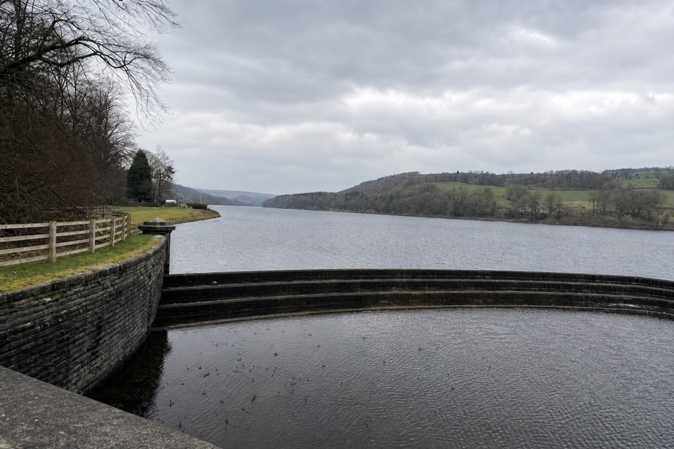 EasyDamflask Loop5.6 km · 2 hr · 9.9 km awayA gentle circuit follows both shores and cuts through Low Bradfield.
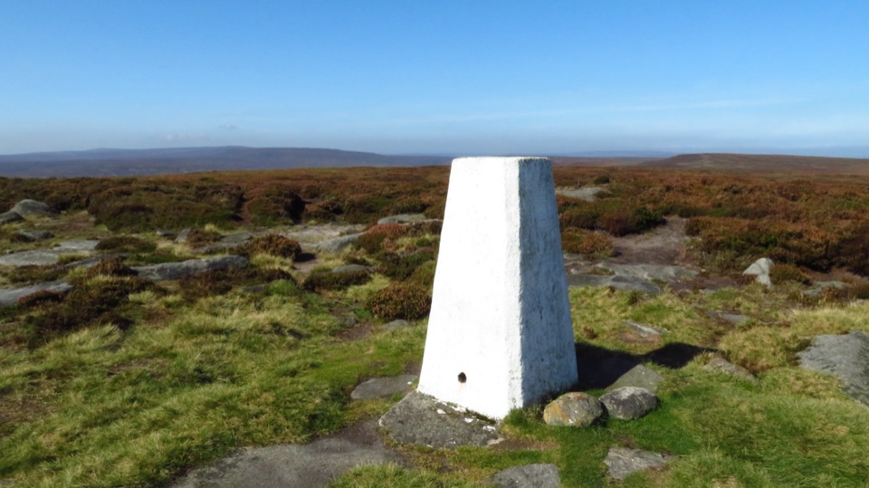 ChallengingDerwent and Howden Reservoirs and Margery Hill Circular18 km · 5.5 hr · 11.7 km awayReservoir roads lead to a lonely trig point and wide moorland views.
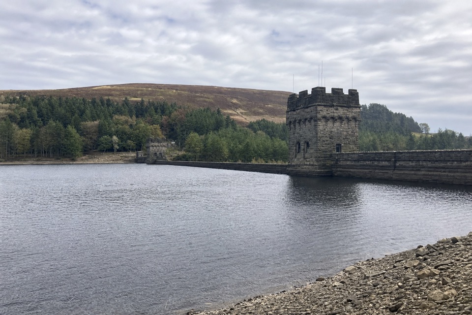 ModerateDerwent Dam Black Route4 km · 1.3 hr · 11.7 km awayA short loop for the dam’s twin stone towers and reservoir views.
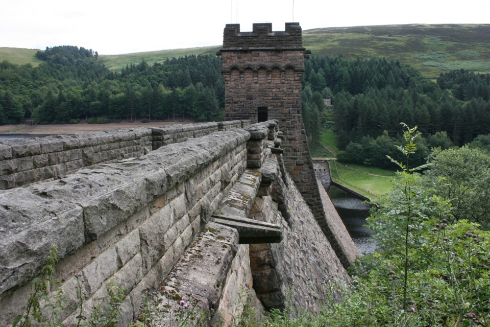 EasyDerwent Dam Green Route6 km · 1.9 hr · 11.7 km awayClimb through Hagg Side woods for broad reservoir views.
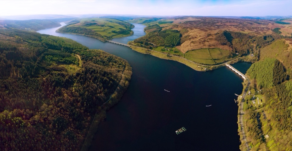 ModerateDerwent Valley and Reservoir Walk7.4 km · 2.5 hr · 11.7 km awayReservoir views, a lost village and moorland in one compact loop.
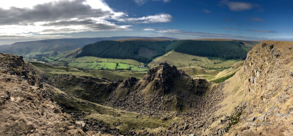 ModerateAlport Castles Walk12.1 km · 4 hr · 11.7 km awayA full moorland loop to one of the Peak’s strangest rock landscapes.
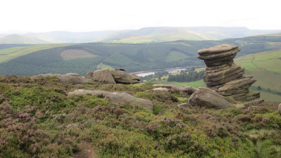 ModerateDerwent Edge Circular Walk12.9 km · 5 hr · 11.8 km awayA gritstone ridge loop with a reservoir view at every turn.
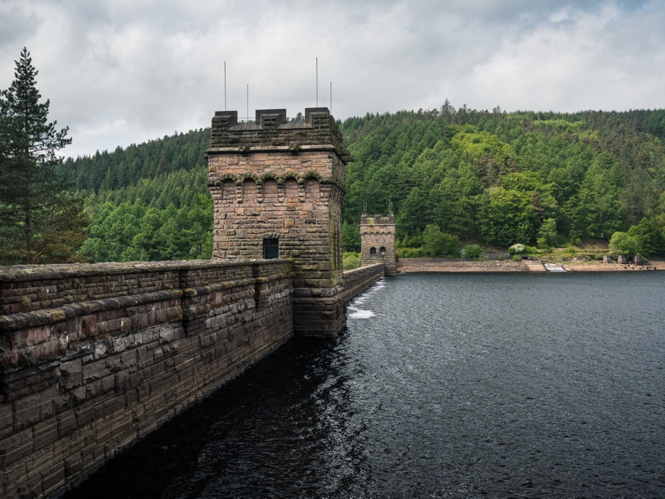 EasyDerwent Dam Red Route1.9 km · 36 min · 11.8 km awayA short loop to Peak District’s twin-towered dam
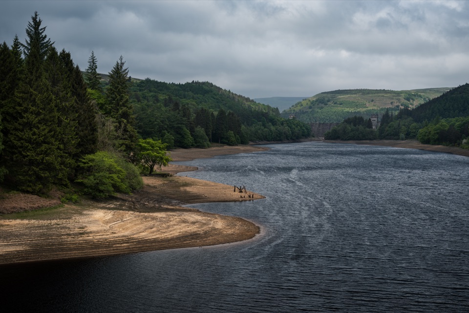 Sight · 8.3 km awayHowden ReservoirThe quiet uppermost reservoir, ending at a 1912 Grade II dam
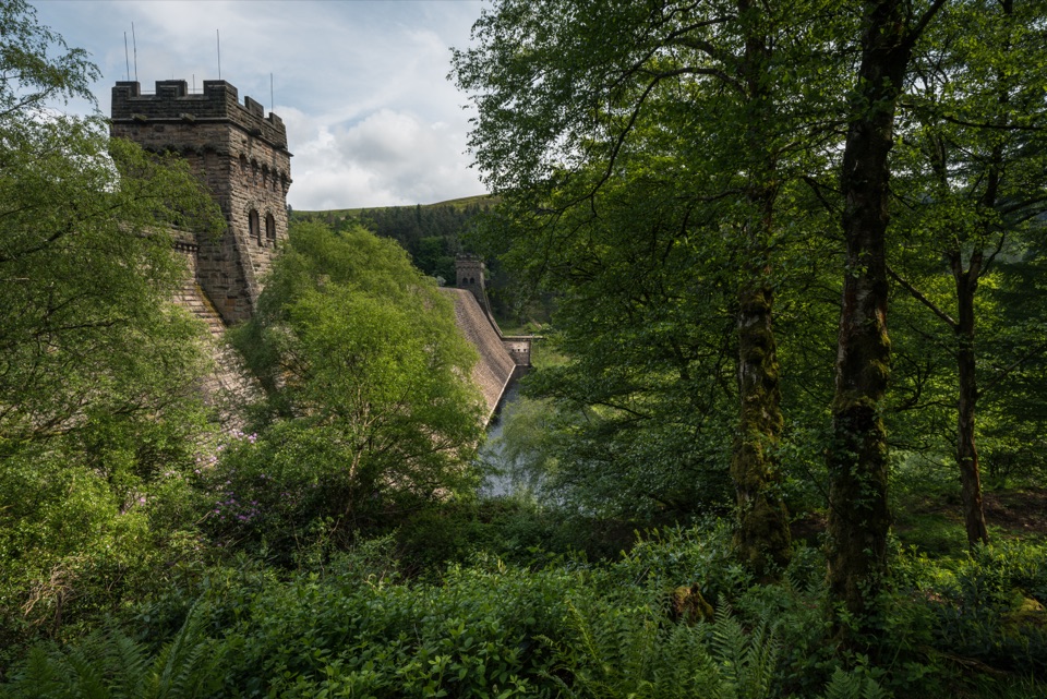 Sight · 11.3 km awayDerwent DamTwin stone towers guard a masonry wall in the Dambusters valley
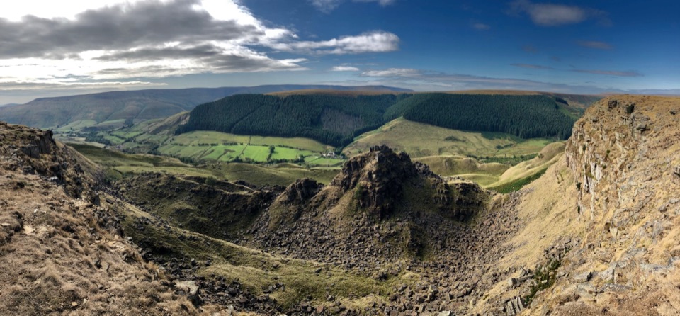 Sight · 11.4 km awayAlport CastlesHuge gritstone landslip and lonely moorland views above Alport Dale
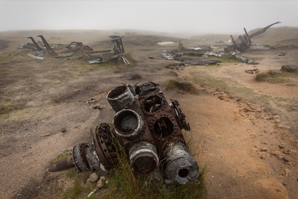 Sight · 13.2 km awayBleaklow B-29 Superfortress Crash SiteScattered bomber wreckage and a memorial deep on open moorland
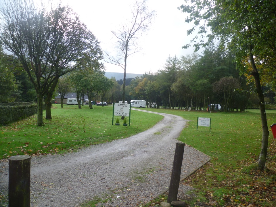 Campground · 13.9 km awayCrowden Camping and Caravanning Club SiteQuiet pitches beneath northern hills, close to the Pennine Way
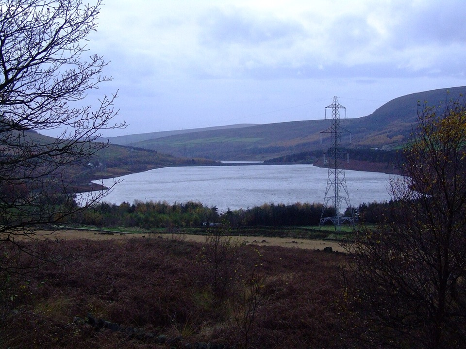 Sight · 14.5 km awayTorside ReservoirMoorland reservoir views from a flat, accessible old railway trail
 Sight · 14.7 km awayLadybower ReservoirY-shaped reservoir with waterside walks, dam views and easy short routes
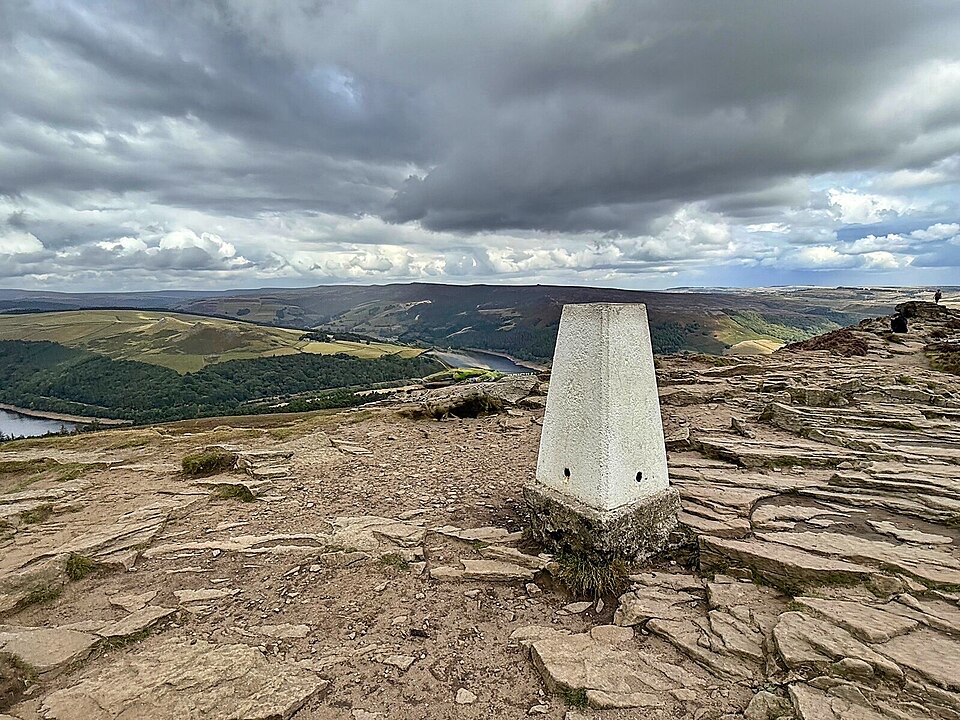 Sight · 15.6 km awayWin HillSteep, short climb to a rocky trig point above Ladybower
Parkwolf’s Peak District ranking
 The Roaches and Lud’s Church Circular from Hen CloudModerate · 12.2 km
 Mam Tor Circular WalkModerate · 4.8 km
 Castleton, Mam Tor & the Great Ridge WalkModerate · 10.5 km
 Stanage Edge from HathersageModerate · 10.6 km
 Kinder Scout Circular via Jacob’s LadderChallenging · 12.1 km
 Padley Gorge and Burbage Brook WalkEasy · 3.7 km
The audio tour guide for the drive, plus offline maps, trails, and wildlife heatmaps for when the signal drops.