Parking
Start at The Sands Car Park in Low Bradfield, a small free car park. Public toilets are in the village near the start.
Peak District National Park, EN
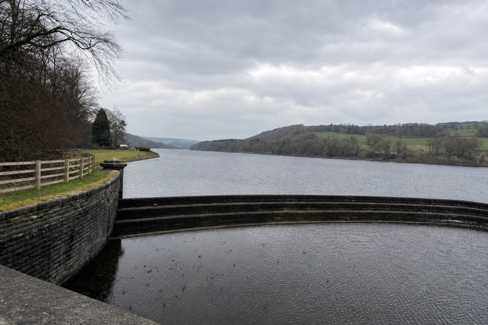
A gentle circuit follows both shores and cuts through Low Bradfield.
Overview
Map & elevation
Plan your hike

The highest, rockiest slopes around here are a summer buffet for grizzly bears.
Peak District Tour Guide
Parkwolf is a GPS audio tour guide for Peak District National Park. As you drive, it chimes in with what’s ahead: hidden gems, upcoming stops, history, geology, and wildlife, right through your car’s speakers.
Recorded for this trailhead
Damflask Reservoir from Low Bradfield“You're approaching Low Bradfield, the start of the Damflask Reservoir loop.”
Plays as you drive up to this trailhead in the Parkwolf Peak District Tour Guide.
More stories near here in the app
“Fantastic app with many points of information… It’s great to just turn on while you’re driving and it gives you an audio tour of the national Park. We love it!!!!”


Trail guide
This 3.5-mile loop (5.5 km) starts at The Sands car park and links Low Bradfield with both banks of Damflask Reservoir. Allow about two hours. It is a gentle family walk with long waterside stretches, but village lanes and short road and pavement sections are part of the circuit too.
Cross the footbridge beside the cricket ground, then pass the post office, cricket pitch and Smithy Garage before taking Lamb Hill toward the south shore. Follow the reservoir to the dam, cross it, and return along the north shore past the sailing and rowing club. Lamb Hill brings you back through the village and playing fields to the car park. Expect surfaced lanes and mostly level tracks, with occasional slopes steeper than 1:10. The dam is a good place to look back across the water. The reservoir was completed in 1896 and reaches 27 metres deep.
The Sands has free parking. Public toilets are in Low Bradfield, and the post office offers refreshments along the route. Dogs are welcome, but keep them on a lead to protect ground-nesting birds.
Wildlife
 248 sightingsRed DeerMost seen around 7 AMSighting map
 36 sightingsRed FoxMost seen around 6 AMSighting map
 15 sightingsEurasian OtterMost seen around 7 PMSighting map
 51 sightingsPeregrine FalconMost seen around 6 PMSighting map
 47 sightingsEuropean Fallow DeerMost seen around 6 AMSighting map
 54 sightingsWestern Roe DeerMost seen around 7 PMSighting map
Sighting maps show where each species has been reported across Peak District. Wildlife moves, so no sighting is guaranteed.
Keep exploring
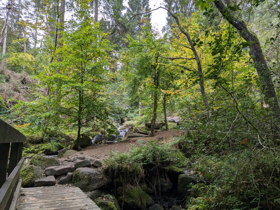 EasyWyming Brook Nature Trail2.7 km · 1 hr · 6.2 km awayWoodland footbridges, mossy rocks, and a brookside hour.
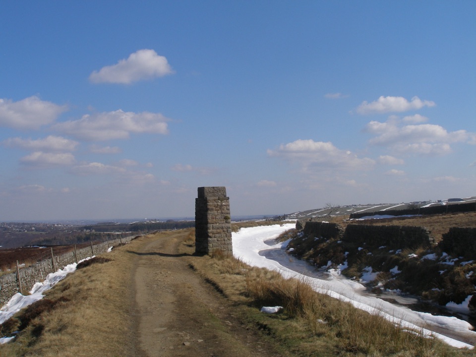 EasyRedmires Conduit Miles without Stiles1.6 km · 45 min · 6.2 km awayA short level walk to a Victorian waterworks tower
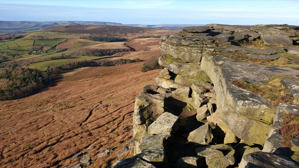 ModerateRedmires Reservoir, Stanage Edge and Hallam Moors Circular15 km · 4.8 hr · 6.4 km awayA long moorland loop linking Redmires, Stanage Edge and High Neb.
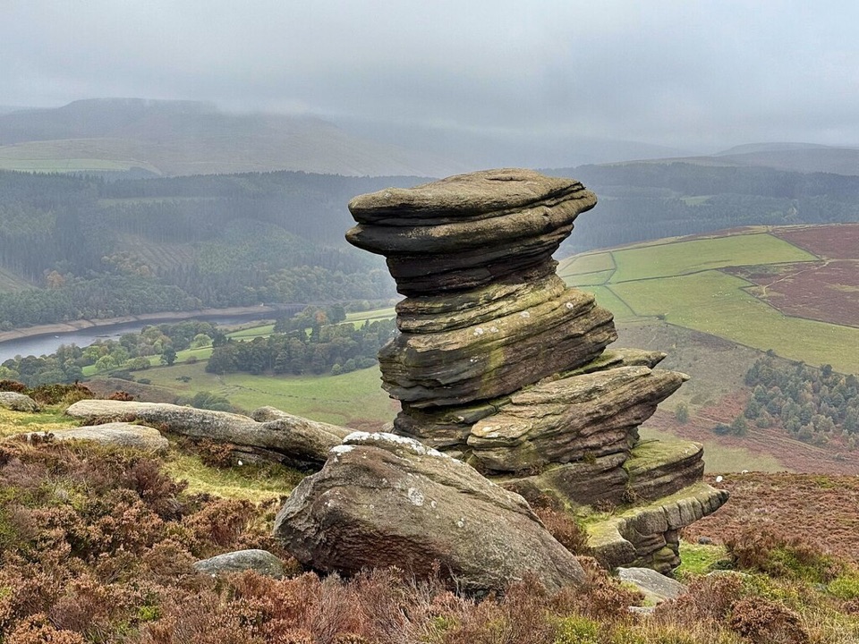 ChallengingAbbey Brook Trespass Walk30.6 km · 10 hr · 7 km awayA hard linear walk through moors and the 1932 trespass story.
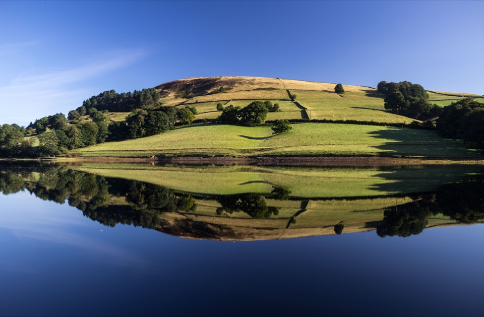 ChallengingLadybower Reservoir Circular27 km · 8.5 hr · 8 km awayA full-day reservoir circuit with viaducts, moorland and long views.
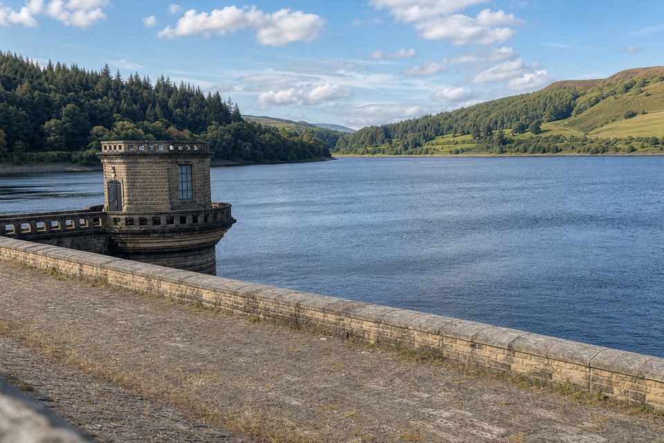 ChallengingDerwent Valley Heritage Way84.8 km · 1.1 days · 8.6 km awayA river walk linking a reservoir, old mills and the Derwent’s mouth.
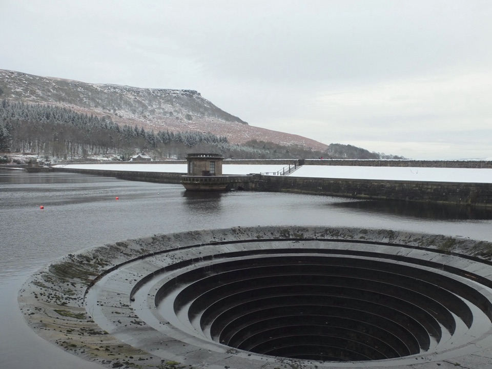 EasyLadybower Miles Without Stiles2 km · 45 min · 8.6 km awayA short surfaced route brings the dam and two plugholes into view.
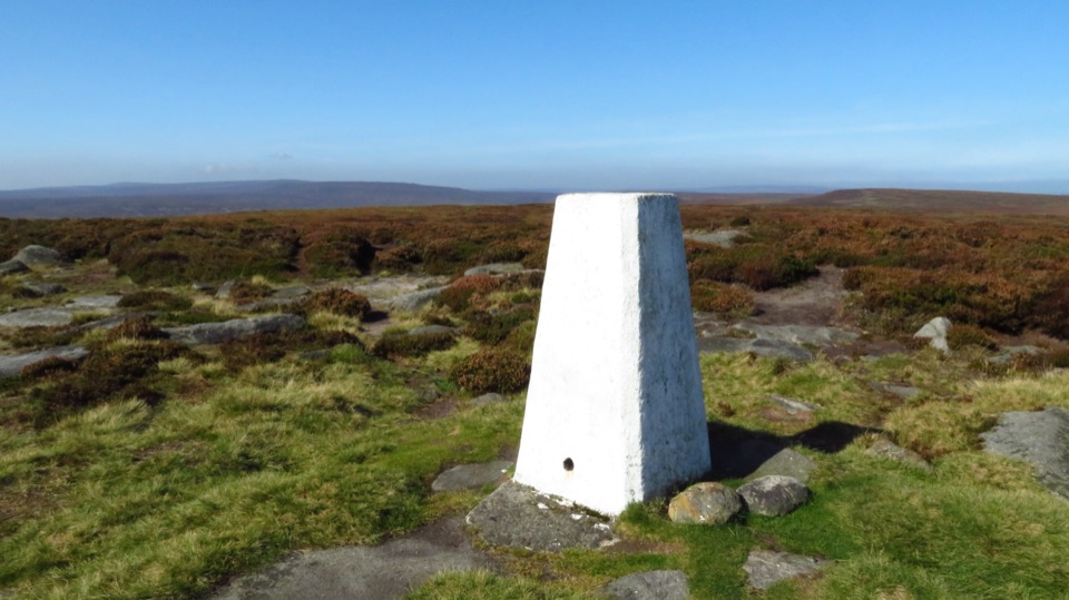 ChallengingDerwent and Howden Reservoirs and Margery Hill Circular18 km · 5.5 hr · 9.3 km awayReservoir roads lead to a lonely trig point and wide moorland views.
 Sight · 8 km awayStanage EdgeThree and a half miles of gritstone cliff above Hope Valley
 Sight · 8.8 km awayLadybower ReservoirY-shaped reservoir with waterside walks, dam views and easy short routes
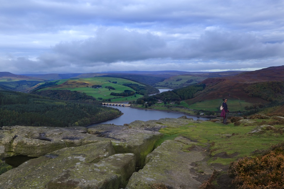 Sight · 9 km awayBamford EdgeGritstone slabs high above Ladybower Reservoir and the Hope Valley
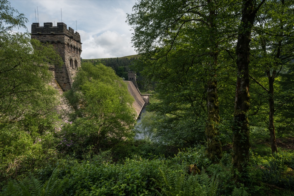 Sight · 9.2 km awayDerwent DamTwin stone towers guard a masonry wall in the Dambusters valley
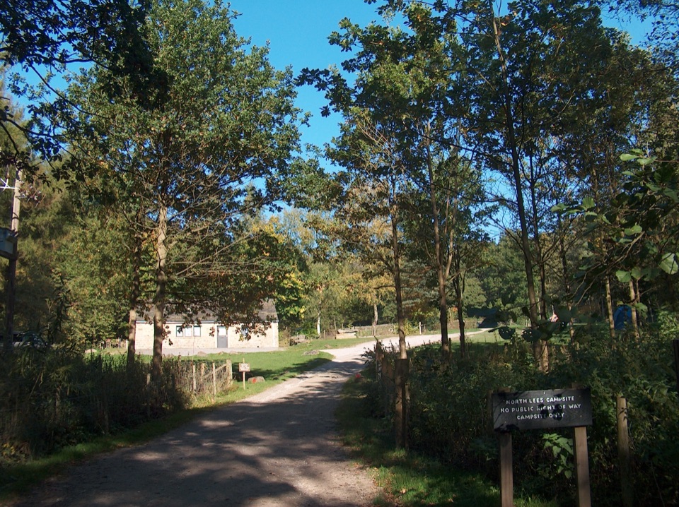 Campground · 9.2 km awayNorth Lees CampsiteQuiet valley pitches a short walk from climbing and moorland trails
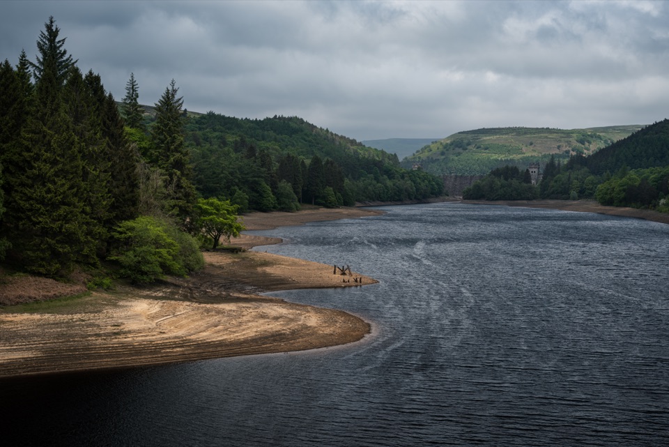 Sight · 9.8 km awayHowden ReservoirThe quiet uppermost reservoir, ending at a 1912 Grade II dam
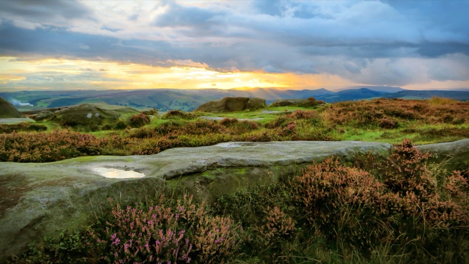 Sight · 10.1 km awayHigger TorBoulder-strewn gritstone plateau with huge views over Burbage Moor
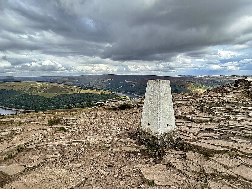 Sight · 10.3 km awayWin HillSteep, short climb to a rocky trig point above Ladybower
Parkwolf’s Peak District ranking
 The Roaches and Lud’s Church Circular from Hen CloudModerate · 12.2 km
 Mam Tor Circular WalkModerate · 4.8 km
 Castleton, Mam Tor & the Great Ridge WalkModerate · 10.5 km
 Stanage Edge from HathersageModerate · 10.6 km
 Kinder Scout Circular via Jacob’s LadderChallenging · 12.1 km
 Padley Gorge and Burbage Brook WalkEasy · 3.7 km
The audio tour guide for the drive, plus offline maps, trails, and wildlife heatmaps for when the signal drops.