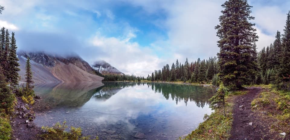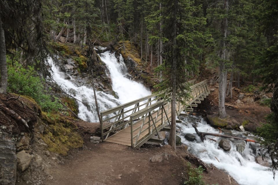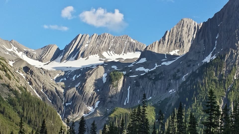
Forks Backcountry Campground in Peter Lougheed Provincial Park

Campground · Peter Lougheed Provincial Park

Forks Backcountry Campground

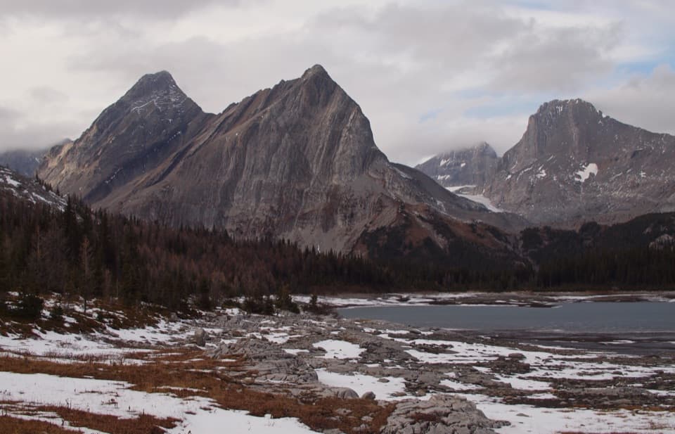
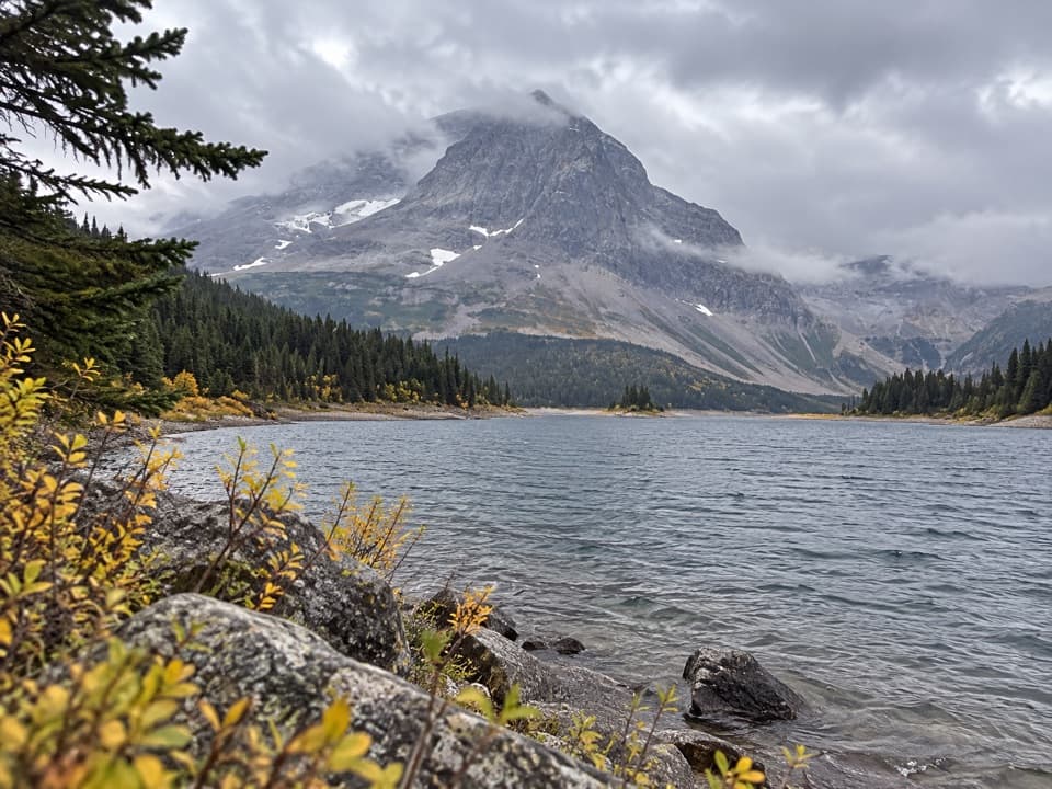
A creek-side overnight base for Three Isle Lake and Turbine Canyon.

Photo: Wikimedia Commons
Type
Campground
Nearest trail
2.5 km
  • Restrooms
  • Picnic tables
Parkwolf audio tour41 stories across Peter Lougheed’s roads

Overview

About Forks Backcountry Campground

Why stop

  • Creek-side forest setting with firewood, firepits and secure food lockers.

Heads up

  • You have to carry your camping gear in; the standard approach is 7.3 km each way.

Map

Where it is

Loading the Peter Lougheed map
Full map
CampgroundForks Backcountry Campground50.63474, -115.23245
Keep this map with you offline in the Parkwolf app

Plan your stop

Before you go

4 active Peter Lougheed alerts

  • ClosureTrail closures and Three Isle detourMentions Three Isle, referenced in this guideThree trail sections remain closed; stay out of closed areas and follow the signed Three Isle detour to reach the open backcountry campgrounds.Official details
  • CautionBear activity near Elpoca and ValleyviewFrequent bear activity has been noted along Valleyview Road from Elpoca Day Use Area south to Highway 40, near Little Highwood Pass and Valleyview Day Use Areas; use bear precautions.Official details

See all 4 alerts
A park ranger sits on a dash-mounted phone, talking, as Parkwolf’s Tour Guide plays “Army Cutworm Moths: A Grizzly Bear Buffet” on Grand Loop Road below Dunraven Pass in Yellowstone
Parkwolf Tour GuideThe highest, rockiest slopes around here are a summer buffet for grizzly bears.

Peter Lougheed Tour Guide

Your drive to Forks Backcountry Campground, narrated.

Parkwolf is a GPS audio tour guide for Peter Lougheed Provincial Park. As you drive, it chimes in with what’s ahead: hidden gems, upcoming stops, history, geology, and wildlife, right through your car’s speakers.

See the Peter Lougheed audio tour

More stories near here in the app

  • North Interlakes and Panorama: Two Lake Views
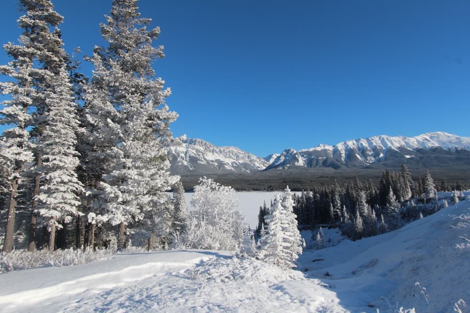
  • Lower Lake Day Use: A Winter Lakeshore Stop
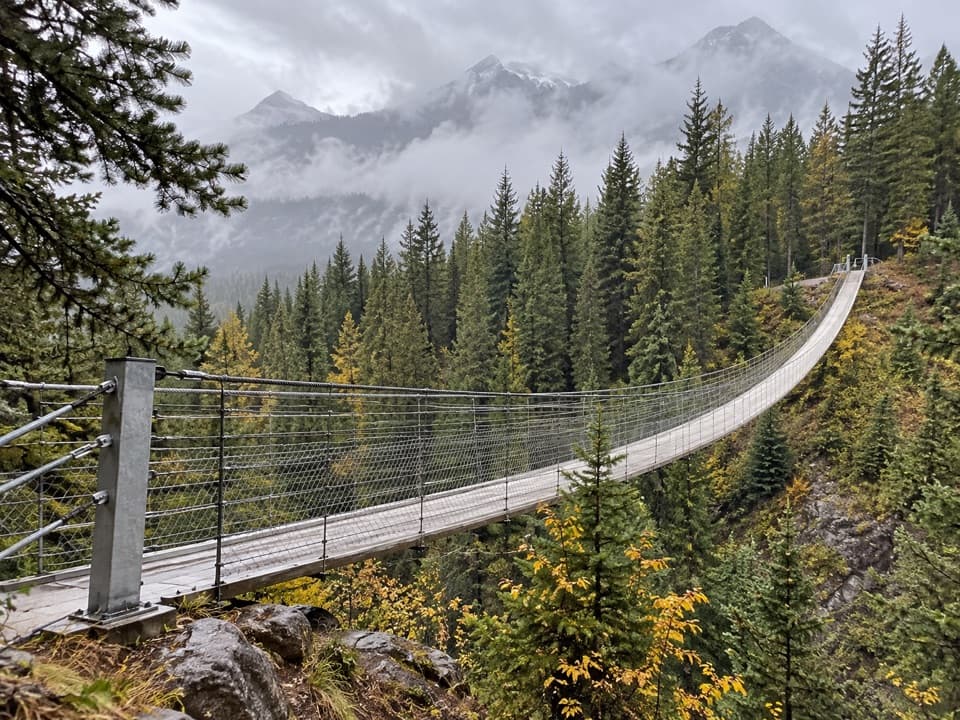
  • Blackshale Bridge: The Forest Crossing
  • From Beaver Pond to Meadow
  • 41 audio storiesacross Peter Lougheed’s roads, triggered by GPS as you drive
  • Wildlife heatmapsfor Grizzly Bear, Canada Lynx, Black Bear, and 13 more
  • Works offlinemaps, 66 trails, 41 places, and audio download before you lose signal
  • CarPlay readysimple controls built for the drive
★★★★★
“Fantastic app with many points of information… It’s great to just turn on while you’re driving and it gives you an audio tour of the national Park. We love it!!!!”
JMJamesApp Store review
Download Parkwolf on the App StoreGet Parkwolf on Google Play

4.7 from 8,600+ ratings

Guide

More about Forks Backcountry Campground

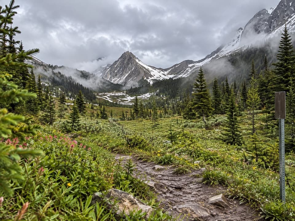
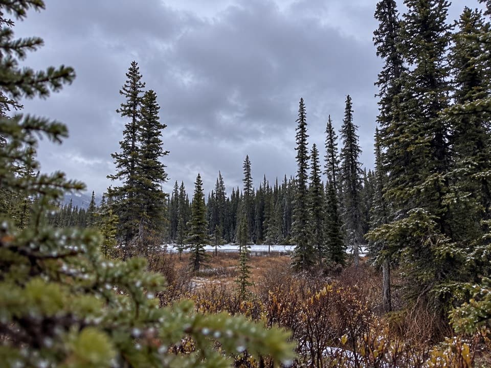
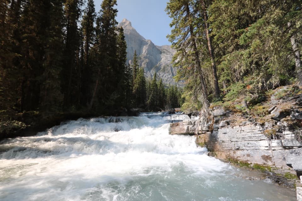
A backcountry night beside the riverForks is a hike-in campground in the forest along the Upper Kananaskis River corridor.

Forks is a hike-in campground in the forest along the Upper Kananaskis River corridor. Alberta Parks lists 20 tent sites. It suits an overnight on the way toward Three Isle Lake or Turbine Canyon; choose it when you want an established camp in the backcountry, not a drive-up stop.

The hike is the commitmentReach it from North Interlakes Day Use Area. The normal approach is 7.

Reach it from North Interlakes Day Use Area. The normal approach is 7.3 km one way with about 100 m of elevation gain. The route is rated easy, but the distance still counts when you’re carrying camping gear. Check Alberta Parks’ current trail advisory before you leave, since route changes can add distance.

What’s waiting at campThe official listing includes pit or vault toilets, secure food lockers, firepits, supplied…

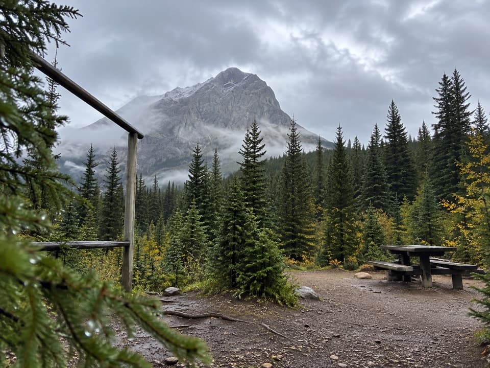
The official listing includes pit or vault toilets, secure food lockers, firepits, supplied firewood and grey-water disposal. The river is the listed water source, and no potable tap is listed, so plan to treat water or carry your own. There’s no food service listed; pack your meals. Visitors mention shared cooking areas and picnic tables, but reports don’t establish that every site has a table or tent platform.

Wildlife

Wildlife in Peter Lougheed

All Peter Lougheed wildlife maps

Sighting maps show where each species has been reported across Peter Lougheed. Wildlife moves, so no sighting is guaranteed.

Keep exploring

Near Forks Backcountry Campground

See it all on the map

Trails nearby

More stops nearby

Parkwolf’s Peter Lougheed ranking

Top sights in Peter Lougheed

All 41 places
  1. 1Highwood Pass Day UseSight
  2. 2Blackshale Creek Suspension BridgeSight
  3. 3Rawson LakeSight
  4. 4Chester LakeSight
  5. 5Sarrail FallsSight
  6. 6Elbow LakeSight

Take Parkwolf to Peter Lougheed.

The audio tour guide for the drive, plus offline maps, trails, and wildlife heatmaps for when the signal drops.

4.7 from 8,600+ ratings

Download Parkwolf on the App StoreGet Parkwolf on Google Play