Parking
Use North Interlakes Day Use Area. From there, the Upper Kananaskis Lake Circuit / Three Isle Lake Trail leads about 10 km one way to the Three Isle Lake campground, where this spur starts; there is no road access at the pass.

Peter Lougheed Provincial Park, AB
A short backcountry spur to the Alberta–B.C. divide.
Overview
Map & elevation
Plan your hike

The highest, rockiest slopes around here are a summer buffet for grizzly bears.
Peter Lougheed Tour Guide
Parkwolf is a GPS audio tour guide for Peter Lougheed Provincial Park. As you drive, it chimes in with what’s ahead: hidden gems, upcoming stops, history, geology, and wildlife, right through your car’s speakers.
See the Peter Lougheed audio tourMore stories near here in the app
“Fantastic app with many points of information… It’s great to just turn on while you’re driving and it gives you an audio tour of the national Park. We love it!!!!”


Trail guide
South Kananaskis Pass Trail is a 2.6-mile out-and-back spur from the Three Isle Lake backcountry campground to the Alberta–British Columbia boundary saddle (2.1 km each way; 4.2 km round trip). It’s a good side trip if you’re already at the lake: the payoff is a clear boundary marker and a wide view south. The saddle sits at 2,306 m.
From the campground, the path climbs through subalpine forest, dips briefly back toward the lake, then follows a gentler grade northwest to the pass. Allow about 60–75 minutes for the spur and return. The distance is short, but this is still a high, remote trail.
A provincial boundary sign marks the Alberta–British Columbia line and the entrance to Height of the Rockies Provincial Park. This segment is also part of the Great Divide Trail. The path continues about 2 km farther to Beatty Lake in B.C.; that extension is beyond this trail’s turnaround.
This is not a roadside hike. The spur starts at Three Isle Lake campground, about 10 km one way from North Interlakes Day Use Area on the Upper Kananaskis Lake Circuit / Three Isle Lake Trail. Hiking from the road to the pass and back is roughly 25 km total. An overnight at the campground breaks up that long approach. The camp has 16 reservable sites, pit toilets, food lockers and water from the lake or creek; there’s no food service and fires aren’t allowed. Dogs are allowed on leash.
Wildlife
 132 sightingsGrizzly BearMost seen around 8 PMSighting map
 17 sightingsCanada LynxMost seen around 8 PMSighting map
 30 sightingsBlack BearMost seen around 6 AMSighting map
 69 sightingsMooseMost seen around 5 PMSighting map
 176 sightingsBighorn SheepMost seen around 6 PMSighting map
 19 sightingsBald EagleMost seen around 8 AMSighting map
Sighting maps show where each species has been reported across Peter Lougheed. Wildlife moves, so no sighting is guaranteed.
Keep exploring
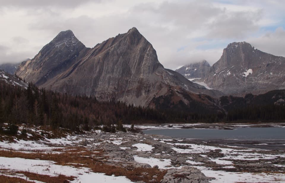 ChallengingNorth Kananaskis Pass via Maude-Lawson Trail35.2 km · 13 hr · 8.9 km awayA long climb through larch meadows to a remote Continental Divide pass.ChallengingTurbine Canyon Trail30.2 km · 11 hr · 8.9 km awayA long lakeshore approach climbs to a forested backcountry camp.
 ChallengingNorthover Ridge Loop33.8 km · 15 hr · 8.9 km awayA strenuous alpine loop with exposed scrambling and big lake views.
 ChallengingInvincible Lake Trail15.1 km · 7.5 hr · 8.9 km awayA steep ridge crossing to a lake hidden behind a grassy rise.
 ChallengingThree Isle Lake Trail24.1 km · 9 hr · 9 km awayA long forest hike climbs to a lake beneath Mount Worthington.
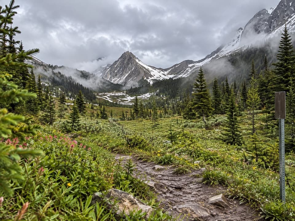 ChallengingNorth and South Kananaskis Pass Loop43.5 km · 21.5 hr · 9 km away43 km loop over two passes, alpine lakes and rough creek crossings
 ChallengingBlack Prince Lakes Trail9.8 km · 5 hr · 9.8 km awayCairns lead beyond Warspite Lake to an unsigned alpine cirque.
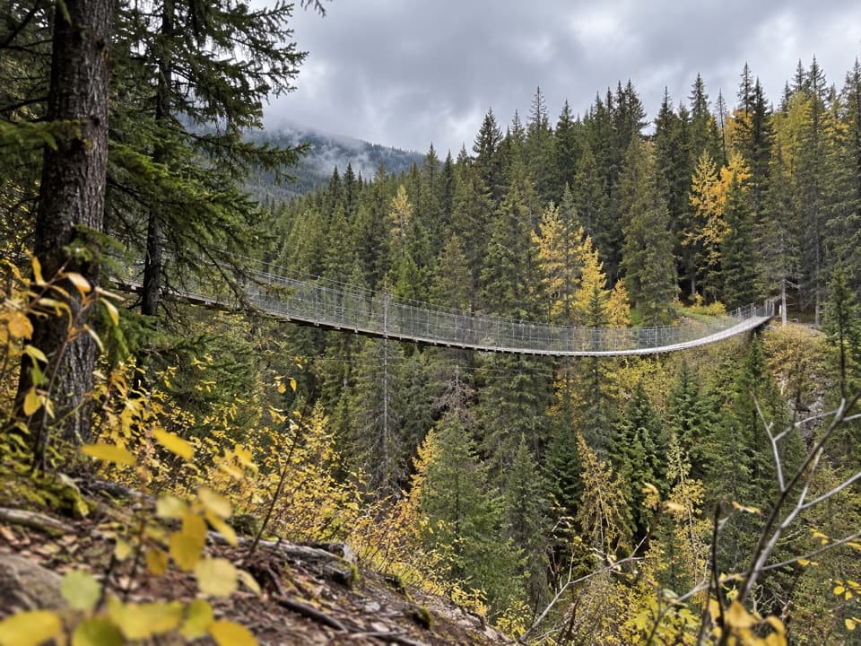 EasyBlack Shale Suspension Bridge Trail6.8 km · 2 hr · 9.8 km awayA forest walk builds to a 73 m suspension bridge.
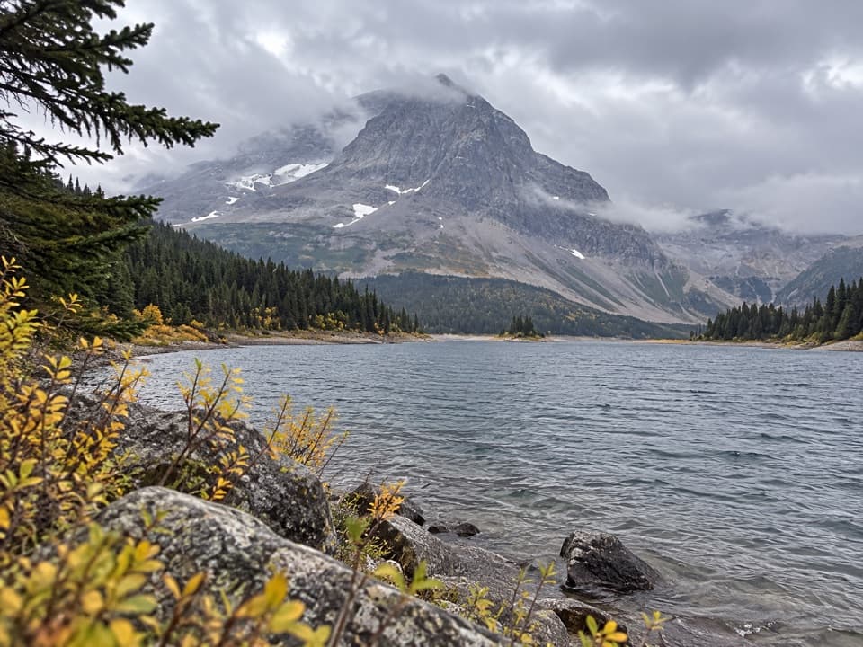 Campground · At the trailheadThree Isle Lake Backcountry CampgroundA two-loop lakeside camp is the reward for a 10-kilometre hike.
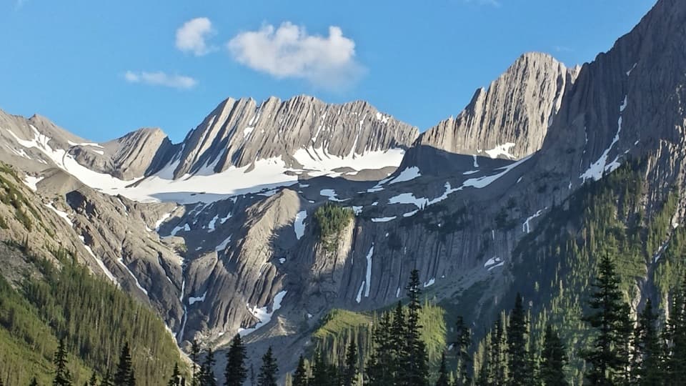 Campground · 2.5 km awayForks Backcountry CampgroundA creek-side overnight base for Three Isle Lake and Turbine Canyon.
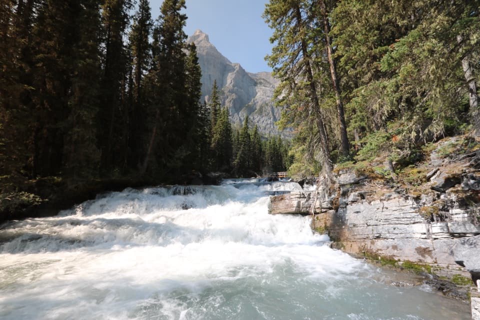 Sight · 5.5 km awayLower Kananaskis FallsA waterfall reward on the long Upper Kananaskis Lake circuit.
 Campground · 6.2 km awayPoint Backcountry CampgroundA short approach to a 20-site tent camp on Upper Kananaskis Lake.
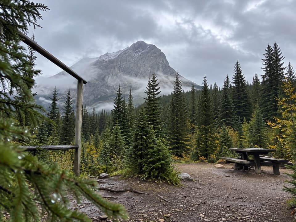 Campground · 6.3 km awayTurbine Canyon Backcountry CampgroundA 15-site forest camp reached by a long Kananaskis hike.
 Campground · 7.1 km awayAster Lake Backcountry CampgroundA demanding climb rewards you with a night beside an alpine lake.
 Picnic area · 9 km awayNorth Interlakes Day Use AreaWide lake views from a simple shoreline picnic stop.
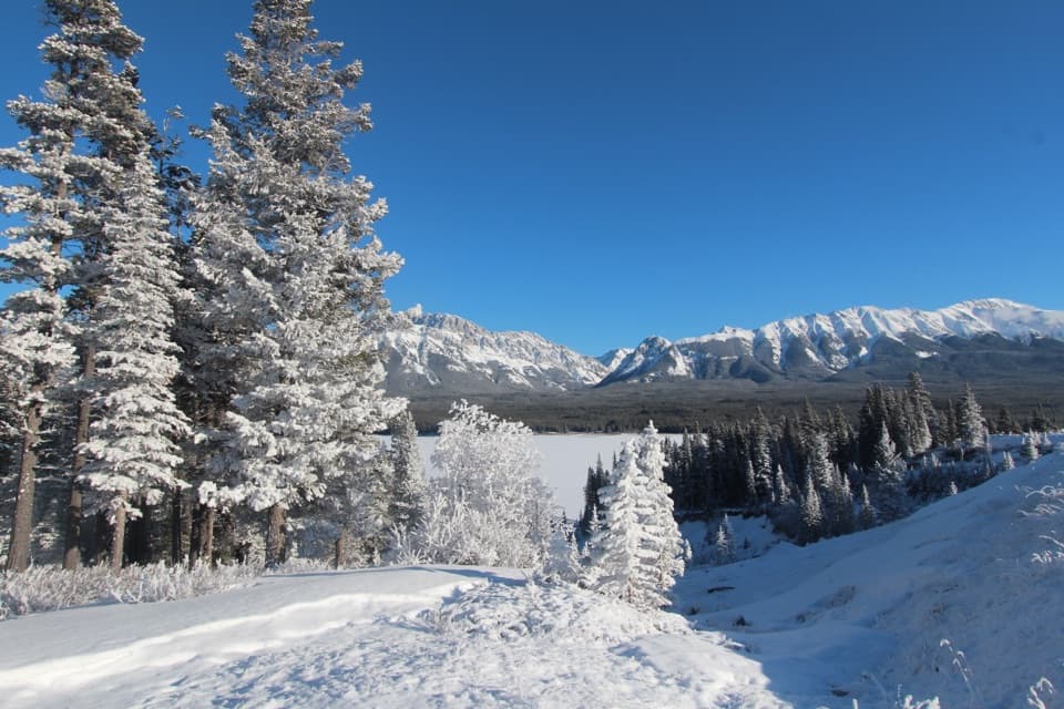 Sight · 9.1 km awayPanorama Day Use AreaA quick Lower Lake view framed by the Wintour Range.
Parkwolf’s Peter Lougheed ranking

The audio tour guide for the drive, plus offline maps, trails, and wildlife heatmaps for when the signal drops.





